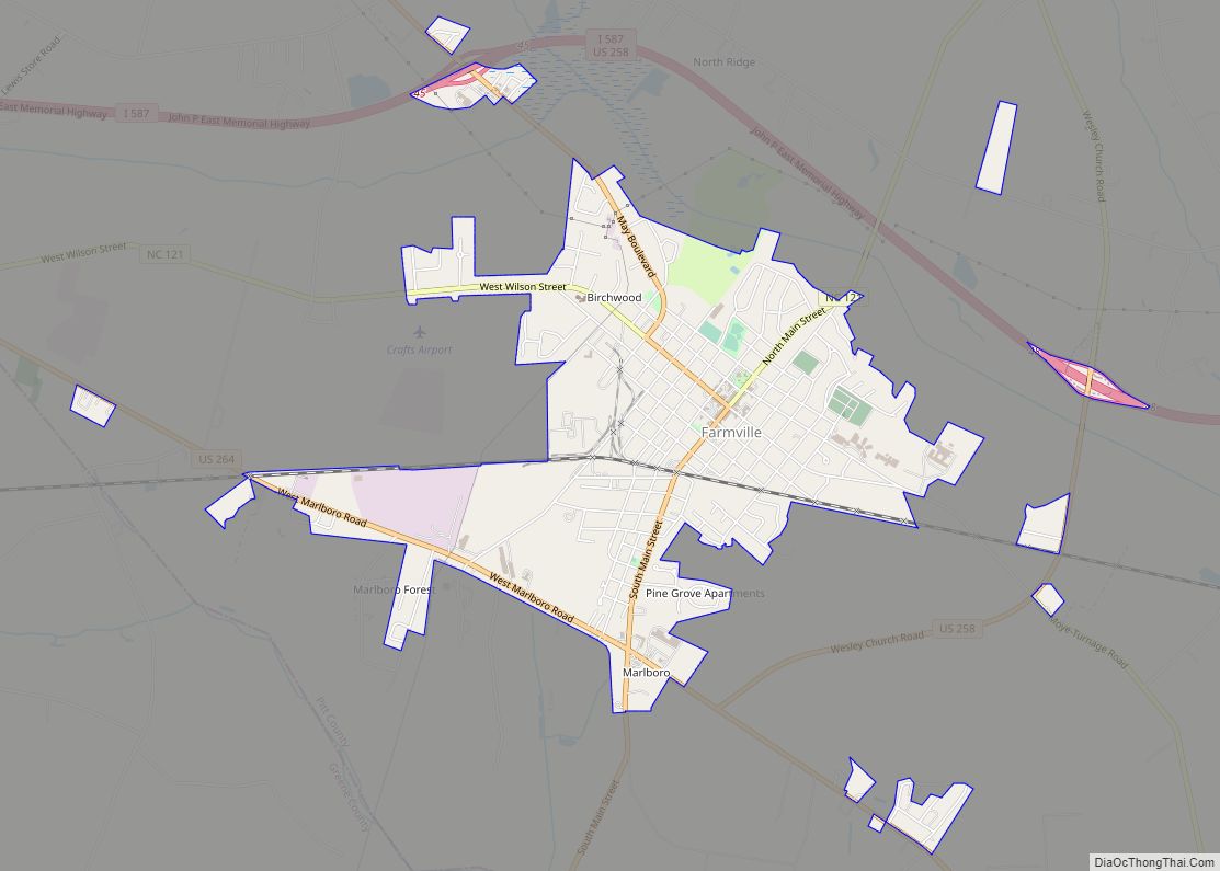
Farmville is a town in Pitt County, North Carolina, United States, eight miles to the west of Greenville. At the 2010 Census, the population was 4,654. Farmville is a part of the Greenville Metropolitan Area located in North Carolina’s Inner Banks region. Farmville has been a Tree City USA community through the Arbor Day Foundation for 36 years, proving its commitment to managing and expanding its public trees. The Town government, in cooperation with other non-profit groups that work for the advancement of the town, sponsor annual events such as the Farmville Dogwood Festival, the Christmas Parade, Independence Day Celebration, A Taste of Farmville, and the Holiday Open House, among others.
| Name: | Farmville town |
|---|---|
| LSAD Code: | 43 |
| LSAD Description: | town (suffix) |
| State: | North Carolina |
| County: | Pitt County |
| Elevation: | 82 ft (25 m) |
| Total Area: | 3.20 sq mi (8.30 km²) |
| Land Area: | 3.20 sq mi (8.30 km²) |
| Water Area: | 0.00 sq mi (0.00 km²) |
| Total Population: | 4,461 |
| Population Density: | 1,392.76/sq mi (537.67/km²) |
| ZIP code: | 27828 |
| Area code: | 252 |
| FIPS code: | 3722820 |
| GNISfeature ID: | 1020222 |
| Website: | http://www.farmvillenc.gov |
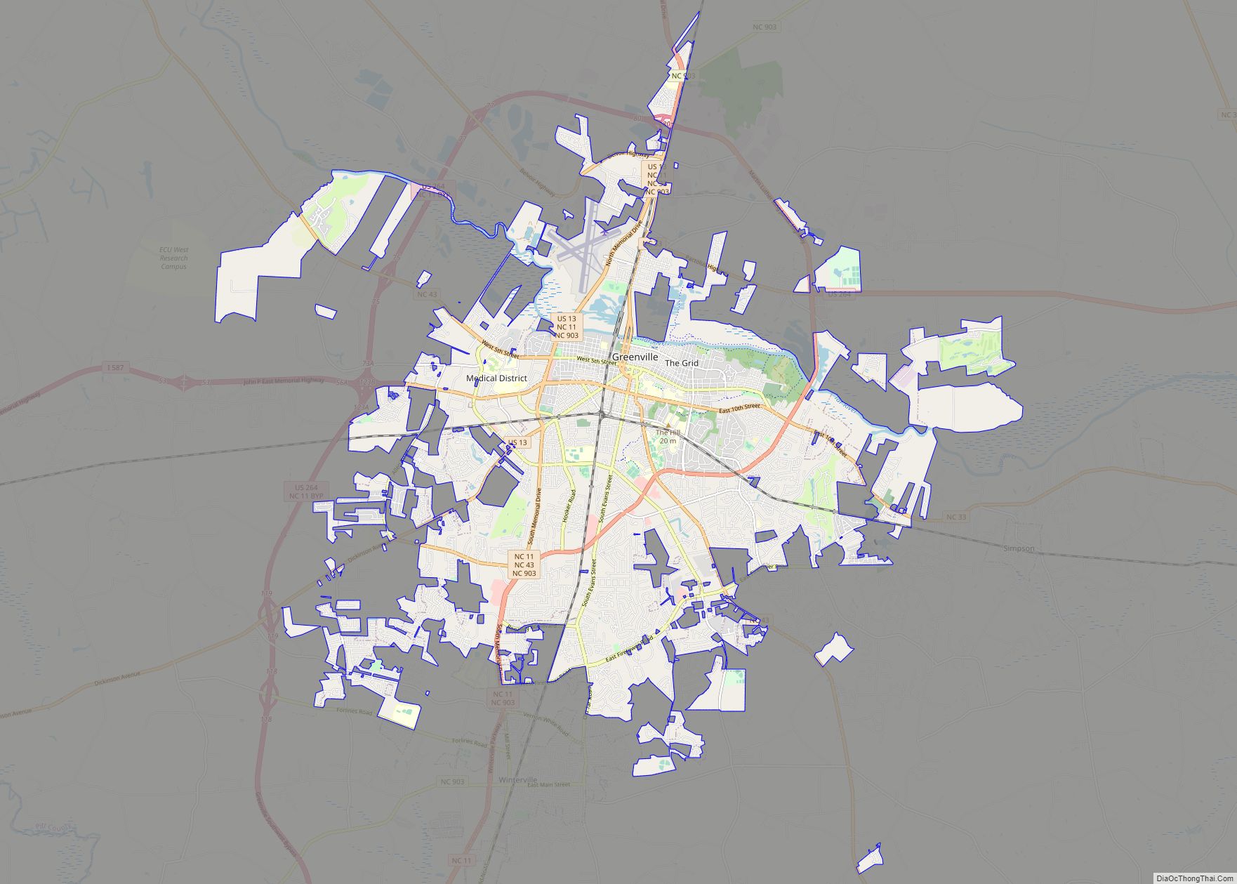
Online Interactive Map
Click on ![]() to view map in "full screen" mode.
to view map in "full screen" mode.
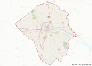
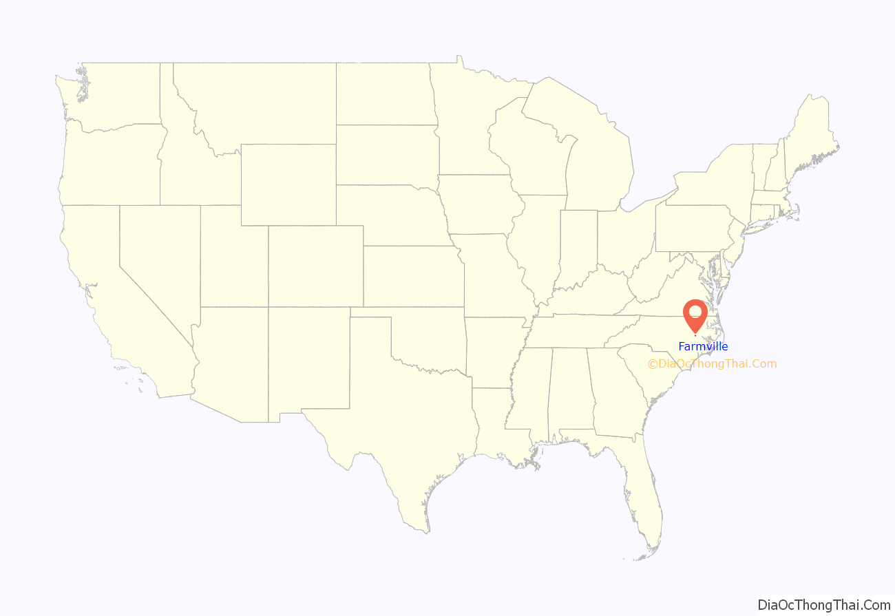
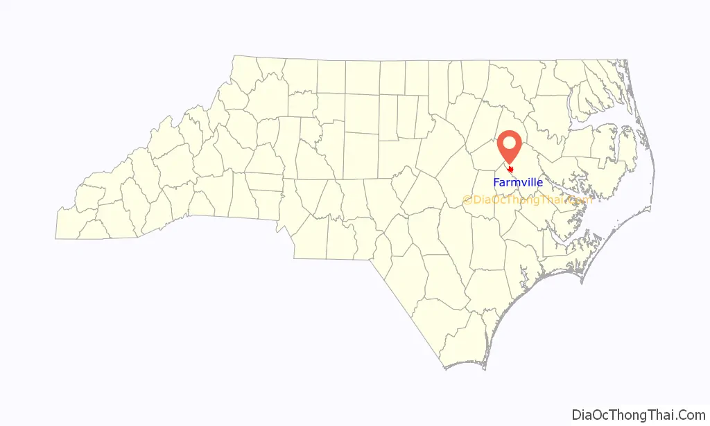
Farmville location map. Where is Farmville town?
History
Established in February 1872, the town was named Farmville because all of its undertakings and activities were farm related. Among the influential founding fathers of Farmville, James Williams May and William Gray Lang made exceptional contributions to the towns development. Mr. James Williams May was a commissioner named in the original town charter. He donated sites for churches and was a business leader willing to invest his services and resources towards the success of the town. He was the grandson of Major Benjamin May. William Gray Lang served as a commissioner on the town board for more than 10 years. He also serviced on the executive committee appointed to establish the Tobacco Market in Farmville. The town grew slowly, with the 1880 census showing 111 in Farmville and 79 in Marlborough, a nearby unincorporated settlement along the wooden Historic Plank Road. The Marlborough settlement is now inside the town limits of Farmville. The cultivation of Tobacco in Pitt County and the Farmville area began in the 1890s, which helped bring the East Carolina Railway to Farmville in 1900. Most of buildings in downtown Farmville were built shortly after due to the economic boom the railroad helped begin. The Farmville Historic District and Benjamin May-Lewis House are listed on the National Register of Historic Places.
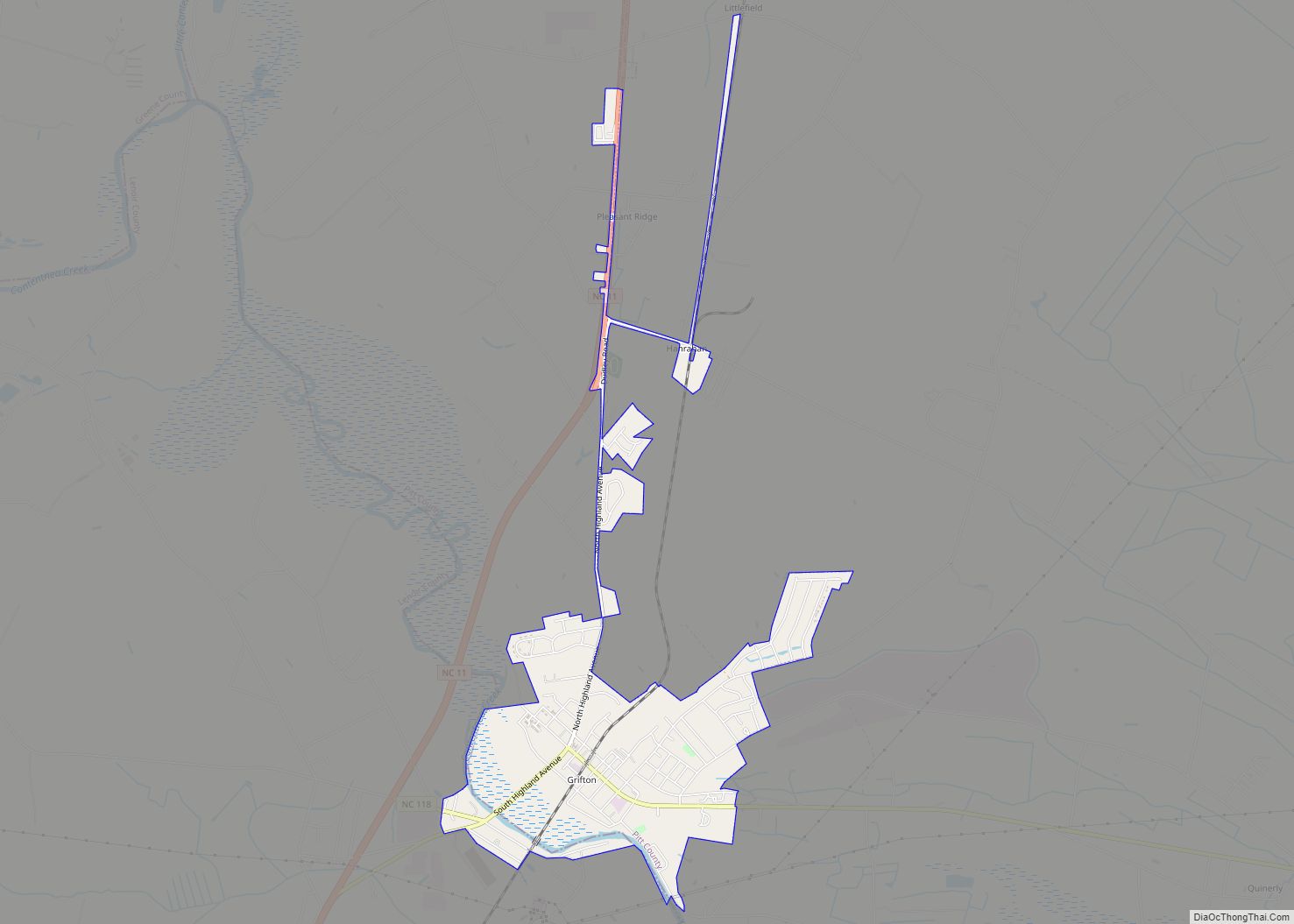
Farmville Road Map

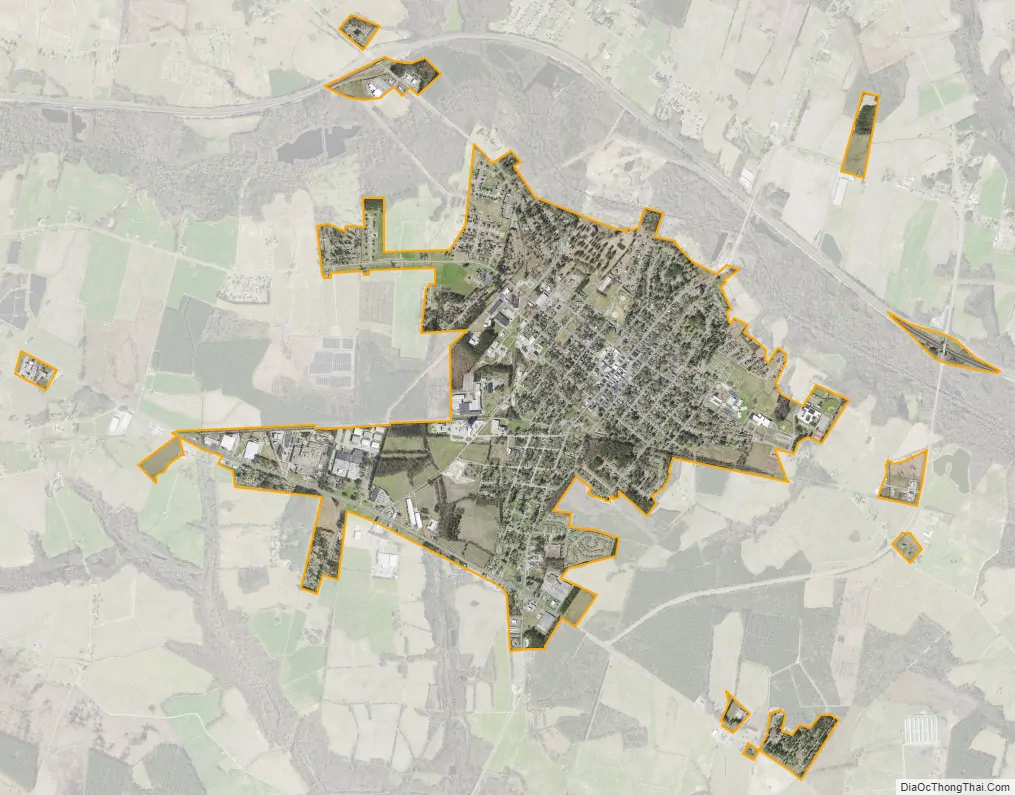
Farmville city Satellite Map
Geography
Farmville is located at 35°35′39″N 77°35′14″W / 35.59417°N 77.58722°W / 35.59417; -77.58722 (35.594246, −77.587128).
According to the United States Census Bureau, the town has a total area of 3.1 square miles (8.0 km), all of it land.
Little Contentnea Creek, a tributary to Contentnea Creek, passes to the north of Farmville.
See also
Map of North Carolina State and its subdivision:- Alamance
- Alexander
- Alleghany
- Anson
- Ashe
- Avery
- Beaufort
- Bertie
- Bladen
- Brunswick
- Buncombe
- Burke
- Cabarrus
- Caldwell
- Camden
- Carteret
- Caswell
- Catawba
- Chatham
- Cherokee
- Chowan
- Clay
- Cleveland
- Columbus
- Craven
- Cumberland
- Currituck
- Dare
- Davidson
- Davie
- Duplin
- Durham
- Edgecombe
- Forsyth
- Franklin
- Gaston
- Gates
- Graham
- Granville
- Greene
- Guilford
- Halifax
- Harnett
- Haywood
- Henderson
- Hertford
- Hoke
- Hyde
- Iredell
- Jackson
- Johnston
- Jones
- Lee
- Lenoir
- Lincoln
- Macon
- Madison
- Martin
- McDowell
- Mecklenburg
- Mitchell
- Montgomery
- Moore
- Nash
- New Hanover
- Northampton
- Onslow
- Orange
- Pamlico
- Pasquotank
- Pender
- Perquimans
- Person
- Pitt
- Polk
- Randolph
- Richmond
- Robeson
- Rockingham
- Rowan
- Rutherford
- Sampson
- Scotland
- Stanly
- Stokes
- Surry
- Swain
- Transylvania
- Tyrrell
- Union
- Vance
- Wake
- Warren
- Washington
- Watauga
- Wayne
- Wilkes
- Wilson
- Yadkin
- Yancey
- Alabama
- Alaska
- Arizona
- Arkansas
- California
- Colorado
- Connecticut
- Delaware
- District of Columbia
- Florida
- Georgia
- Hawaii
- Idaho
- Illinois
- Indiana
- Iowa
- Kansas
- Kentucky
- Louisiana
- Maine
- Maryland
- Massachusetts
- Michigan
- Minnesota
- Mississippi
- Missouri
- Montana
- Nebraska
- Nevada
- New Hampshire
- New Jersey
- New Mexico
- New York
- North Carolina
- North Dakota
- Ohio
- Oklahoma
- Oregon
- Pennsylvania
- Rhode Island
- South Carolina
- South Dakota
- Tennessee
- Texas
- Utah
- Vermont
- Virginia
- Washington
- West Virginia
- Wisconsin
- Wyoming