Fairmont is a town in Robeson County, North Carolina, United States. The population was 2,663 at the 2010 Census.
| Name: | Fairmont town |
|---|---|
| LSAD Code: | 43 |
| LSAD Description: | town (suffix) |
| State: | North Carolina |
| County: | Robeson County |
| Elevation: | 125 ft (38 m) |
| Total Area: | 2.77 sq mi (7.16 km²) |
| Land Area: | 2.76 sq mi (7.15 km²) |
| Water Area: | 0.01 sq mi (0.01 km²) |
| Total Population: | 2,191 |
| Population Density: | 793.55/sq mi (306.44/km²) |
| ZIP code: | 28340 |
| FIPS code: | 3722360 |
| GNISfeature ID: | 1020194 |
| Website: | www.fairmontnc.com |
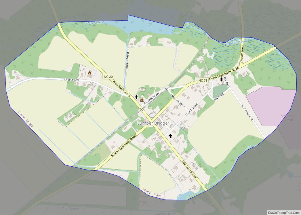
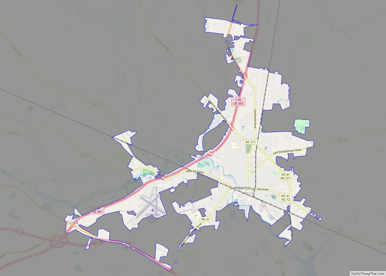
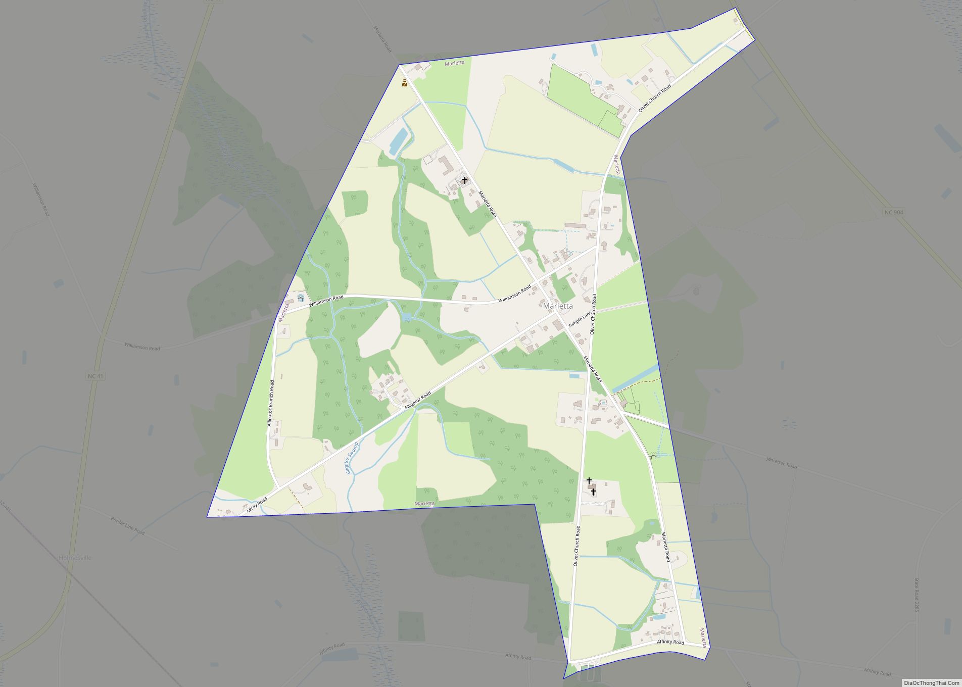
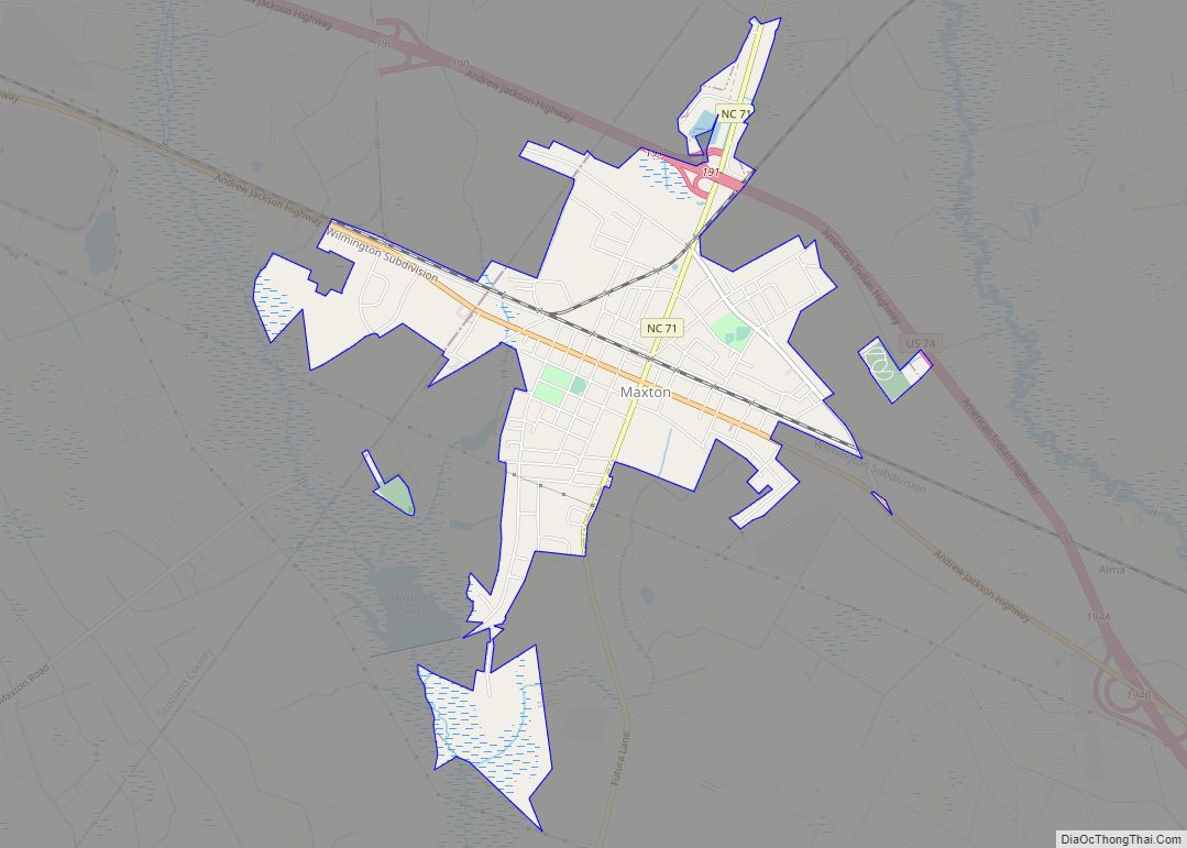
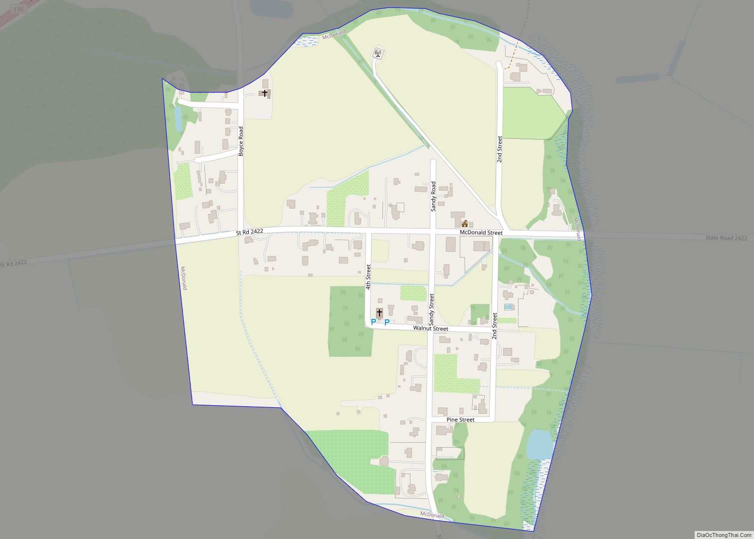
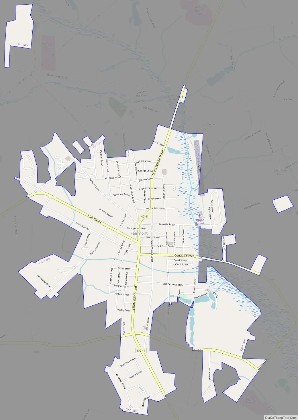
Online Interactive Map
Click on ![]() to view map in "full screen" mode.
to view map in "full screen" mode.
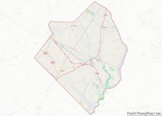
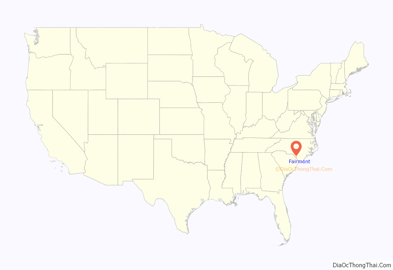
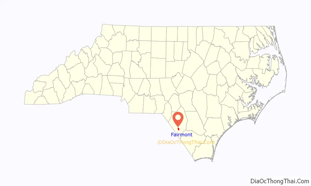
Fairmont location map. Where is Fairmont town?
History
Fairmont was originally known as Ashpole in homage to the nearby Ashpole Swamp. It was incorporated as Union City in 1899, but the name was changed back to Ashpole in 1901. Six years later the name was changed to Fairmont.
The first settlers to this area received land grants from the Lords Proprietors and worked in the logging and naval stores industries producing lumber, turpentine and pitch for ships. The Bufort County Lumber Company opened in the northern section of town in the late 1890s employing 300 men and becoming one of the largest lumber companies in the south. By the late 19th century, a thriving tobacco market had been established as well. The railroads later followed to rapidly move these goods. By the early 20th century, tobacco became king, and by the mid-1950s, Fairmont was considered one of the major tobacco markets in the world. Based upon its 1950 population of a little over 2,000 Fairmont was considered as the “biggest little tobacco market in the world. In 1951 Fairmont sold twice as much tobacco as was grown in Robeson County. As health concerns have affected the sales of tobacco, many local farmers have turned to other cash crops, mainly corn, soybeans and wheat. The Border Belt Farmers Museum was established in 1989 by converting an unused former railroad depot into a museum filled with farming, tobacco related, and historical memorabilia. It is open five days a week (M, W, F-11:00-3:00 & T, TH 9-12:00 & 1:00-3:00). The town has recently started promoting itself as “the shortest route to the S.C. beaches” by encouraging motorists traveling south on Interstate 95 to take exit 10. The advertising campaign, utilizing a very prominent billboard on the interstate, has resulted in a higher traffic flow and increased commercial traffic to the community.
Scenes from the movie Arthur Newman were filmed here.
The Fairmont Commercial Historic District was listed on the National Register of Historic Places in 2010.
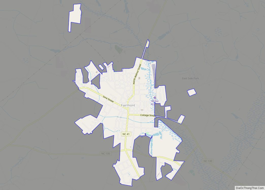
Fairmont Road Map
Fairmont city Satellite Map

Geography
Fairmont is located at 34°29′53″N 79°6′53″W / 34.49806°N 79.11472°W / 34.49806; -79.11472 (34.498004, -79.114713). The town lies within the Carolina Border Belt, a regional network of tobacco markets and warehouses along both sides of the North Carolina-South Carolina border.
According to the United States Census Bureau, the town has a total area of 2.2 square miles (5.7 km), all land.
See also
Map of North Carolina State and its subdivision:- Alamance
- Alexander
- Alleghany
- Anson
- Ashe
- Avery
- Beaufort
- Bertie
- Bladen
- Brunswick
- Buncombe
- Burke
- Cabarrus
- Caldwell
- Camden
- Carteret
- Caswell
- Catawba
- Chatham
- Cherokee
- Chowan
- Clay
- Cleveland
- Columbus
- Craven
- Cumberland
- Currituck
- Dare
- Davidson
- Davie
- Duplin
- Durham
- Edgecombe
- Forsyth
- Franklin
- Gaston
- Gates
- Graham
- Granville
- Greene
- Guilford
- Halifax
- Harnett
- Haywood
- Henderson
- Hertford
- Hoke
- Hyde
- Iredell
- Jackson
- Johnston
- Jones
- Lee
- Lenoir
- Lincoln
- Macon
- Madison
- Martin
- McDowell
- Mecklenburg
- Mitchell
- Montgomery
- Moore
- Nash
- New Hanover
- Northampton
- Onslow
- Orange
- Pamlico
- Pasquotank
- Pender
- Perquimans
- Person
- Pitt
- Polk
- Randolph
- Richmond
- Robeson
- Rockingham
- Rowan
- Rutherford
- Sampson
- Scotland
- Stanly
- Stokes
- Surry
- Swain
- Transylvania
- Tyrrell
- Union
- Vance
- Wake
- Warren
- Washington
- Watauga
- Wayne
- Wilkes
- Wilson
- Yadkin
- Yancey
- Alabama
- Alaska
- Arizona
- Arkansas
- California
- Colorado
- Connecticut
- Delaware
- District of Columbia
- Florida
- Georgia
- Hawaii
- Idaho
- Illinois
- Indiana
- Iowa
- Kansas
- Kentucky
- Louisiana
- Maine
- Maryland
- Massachusetts
- Michigan
- Minnesota
- Mississippi
- Missouri
- Montana
- Nebraska
- Nevada
- New Hampshire
- New Jersey
- New Mexico
- New York
- North Carolina
- North Dakota
- Ohio
- Oklahoma
- Oregon
- Pennsylvania
- Rhode Island
- South Carolina
- South Dakota
- Tennessee
- Texas
- Utah
- Vermont
- Virginia
- Washington
- West Virginia
- Wisconsin
- Wyoming