Map of Forest Hills village, North Carolina

Map of Forest Hills village, North Carolina

Forest Hills is a village in Jackson County, North Carolina, United States. The population was 365 at the 2010 census. Formerly a neighborhood within nearby unincorporated Cullowhee, it became incorporated in 1997. Forest Hills village overview: Name: Forest Hills village LSAD Code: 47 LSAD Description: village (suffix) State: North Carolina County: Jackson County Elevation: 2,300 ft … Read more

Map of Forest City town, North Carolina

Map of Forest City town, North Carolina

Forest City, formerly known as “Burnt Chimney,” is a town in Rutherford County, North Carolina, United States. The population was 7,377 as of the 2020 census, making it the largest municipality in Rutherford County. Forest City town overview: Name: Forest City town LSAD Code: 43 LSAD Description: town (suffix) State: North Carolina County: Rutherford County … Read more

Map of Fontana Dam town

Map of Fontana Dam town

Fontana Dam town overview: Name: Fontana Dam town LSAD Code: 43 LSAD Description: town (suffix) State: North Carolina FIPS code: 3723980 Online Interactive Map Fontana Dam online map. Source: Basemap layers from Google Map, Open Street Map (OSM), Arcgisonline, Wmflabs. Boundary Data from Database of Global Administrative Areas. Fontana Dam location map. Where is Fontana … Read more

Map of Fletcher town

Map of Fletcher town, North Carolina

Fletcher is a town in Henderson County, North Carolina, United States. The population was 7,187 at the 2010 census, and was estimated to be 8,333 in 2018. Fletcher is adjacent to Asheville Regional Airport, which serves western North Carolina. It is part of the Asheville Metropolitan Statistical Area. Fletcher town overview: Name: Fletcher town LSAD … Read more

Map of Flat Rock CDP, North Carolina

Map of Flat Rock CDP, North Carolina

Flat Rock is a census-designated place (CDP) in Surry County, North Carolina, United States. The name “Flat Rock” stems from the community’s granite quarry. The granite quarry is the largest open-face granite quarry in the world, and has been mined continuously since 1889 by the North Carolina Granite Corporation. Flat Rock CDP overview: Name: Flat … Read more

Map of Five Points CDP, North Carolina

Map of Five Points CDP, North Carolina

Five Points is a census-designated place (CDP) in Hoke County, North Carolina, United States. The population was 689 at the 2010 census. Five Points CDP overview: Name: Five Points CDP LSAD Code: 57 LSAD Description: CDP (suffix) State: North Carolina County: Hoke County Elevation: 364 ft (111 m) Total Area: 8.28 sq mi (21.45 km²) Land Area: 8.28 sq mi (21.45 km²) Water … Read more

Map of Fearrington Village CDP

Map of Fearrington Village CDP

Fearrington Village is a residential development and census-designated place (CDP) in Chatham County, North Carolina, United States. The population was 2,339 at the 2010 census, up from 903 in 2000. Its name is phonetically pronounced FAIR-ington, not FEAR-ington as the spelling might indicate. The CDP occupies what was formerly the area of the unincorporated community … Read more

Map of Fountain town, North Carolina

Map of Fountain town, North Carolina

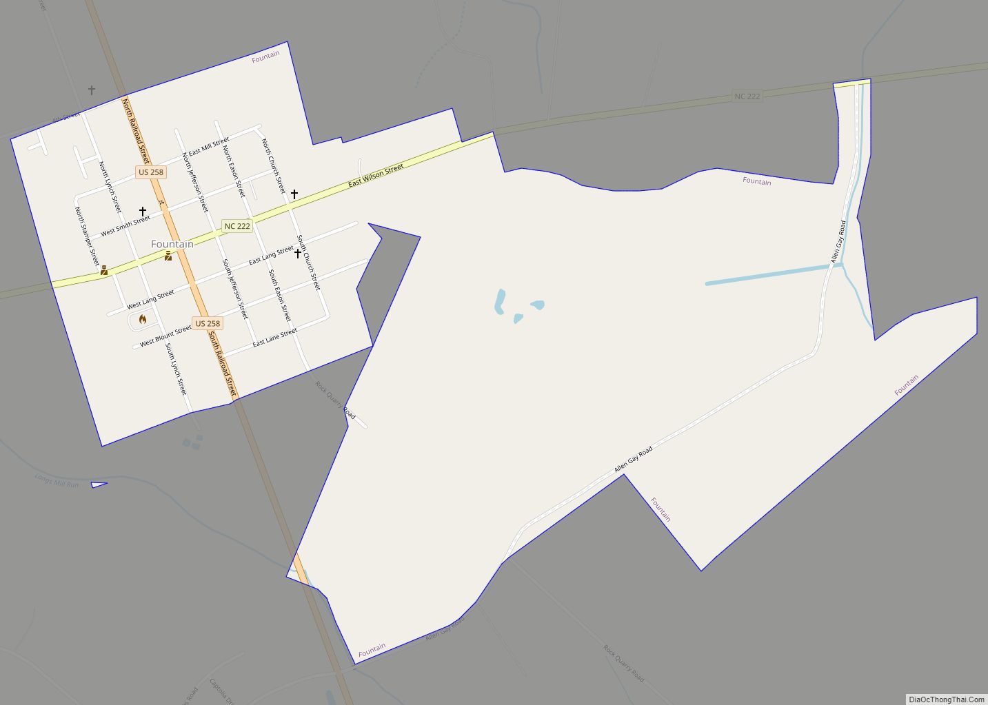
Fountain is a town in Pitt County, North Carolina, United States. The population was 427 at the 2010 Census. The town is a part of the Greenville Metropolitan Area located in North Carolina’s Inner Banks region. Fountain town overview: Name: Fountain town LSAD Code: 43 LSAD Description: town (suffix) State: North Carolina County: Pitt County … Read more

Map of Foscoe CDP

Map of Foscoe CDP

Foscoe is an unincorporated community and census-designated place in Watauga County, North Carolina, United States. The community is located on NC 105, southwest of Boone. The community is between Seven Devils and Shulls Mill. Multiple shops dot the main highway, serving a tourist clientele. Its development, since the 1980s, is thanks to year-round tourism to … Read more

Map of Forest Oaks CDP

Map of Forest Oaks CDP

Forest Oaks is a census-designated place (CDP) in Guilford County, North Carolina, United States. The population was 3,890 as of the 2010 census, up from 3,241 in 2000. Forest Oaks CDP overview: Name: Forest Oaks CDP LSAD Code: 57 LSAD Description: CDP (suffix) State: North Carolina County: Guilford County Elevation: 771 ft (235 m) Total Area: 4.90 sq mi … Read more

Map of Gamewell town

Map of Gamewell town

Gamewell is a town in Caldwell County, North Carolina, United States. The population was 4,051 at the 2010 census. It is part of the Hickory–Lenoir–Morganton Metropolitan Statistical Area. Gamewell town overview: Name: Gamewell town LSAD Code: 43 LSAD Description: town (suffix) State: North Carolina County: Caldwell County Elevation: 1,073 ft (327 m) Total Area: 8.11 sq mi (21.00 km²) Land … Read more

Map of Fuquay-Varina town

Map of Fuquay-Varina town

Fuquay-Varina (/ˈfjuːkweɪ vəˈriːnə/ FYUU-kway və-REE-nə) is a town in southern Wake County, North Carolina, United States, lying south of Holly Springs and southwest of Garner, and north of the Harnett County town of Angier and west of the unincorporated community of Willow Springs. The population was 17,937 at the 2010 census, and estimated at 36,736 … Read more