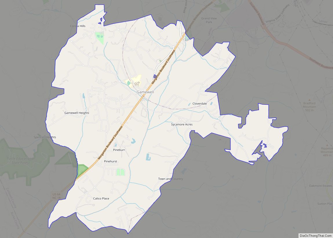
Gamewell is a town in Caldwell County, North Carolina, United States. The population was 4,051 at the 2010 census. It is part of the Hickory–Lenoir–Morganton Metropolitan Statistical Area.
| Name: | Gamewell town |
|---|---|
| LSAD Code: | 43 |
| LSAD Description: | town (suffix) |
| State: | North Carolina |
| County: | Caldwell County |
| Elevation: | 1,073 ft (327 m) |
| Total Area: | 8.11 sq mi (21.00 km²) |
| Land Area: | 8.11 sq mi (21.00 km²) |
| Water Area: | 0.00 sq mi (0.00 km²) |
| Total Population: | 3,702 |
| Population Density: | 456.64/sq mi (176.30/km²) |
| ZIP code: | 28645 |
| Area code: | 828 |
| FIPS code: | 3725380 |
| GNISfeature ID: | 0985535 |
Online Interactive Map
Click on ![]() to view map in "full screen" mode.
to view map in "full screen" mode.
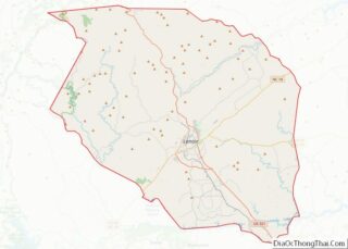
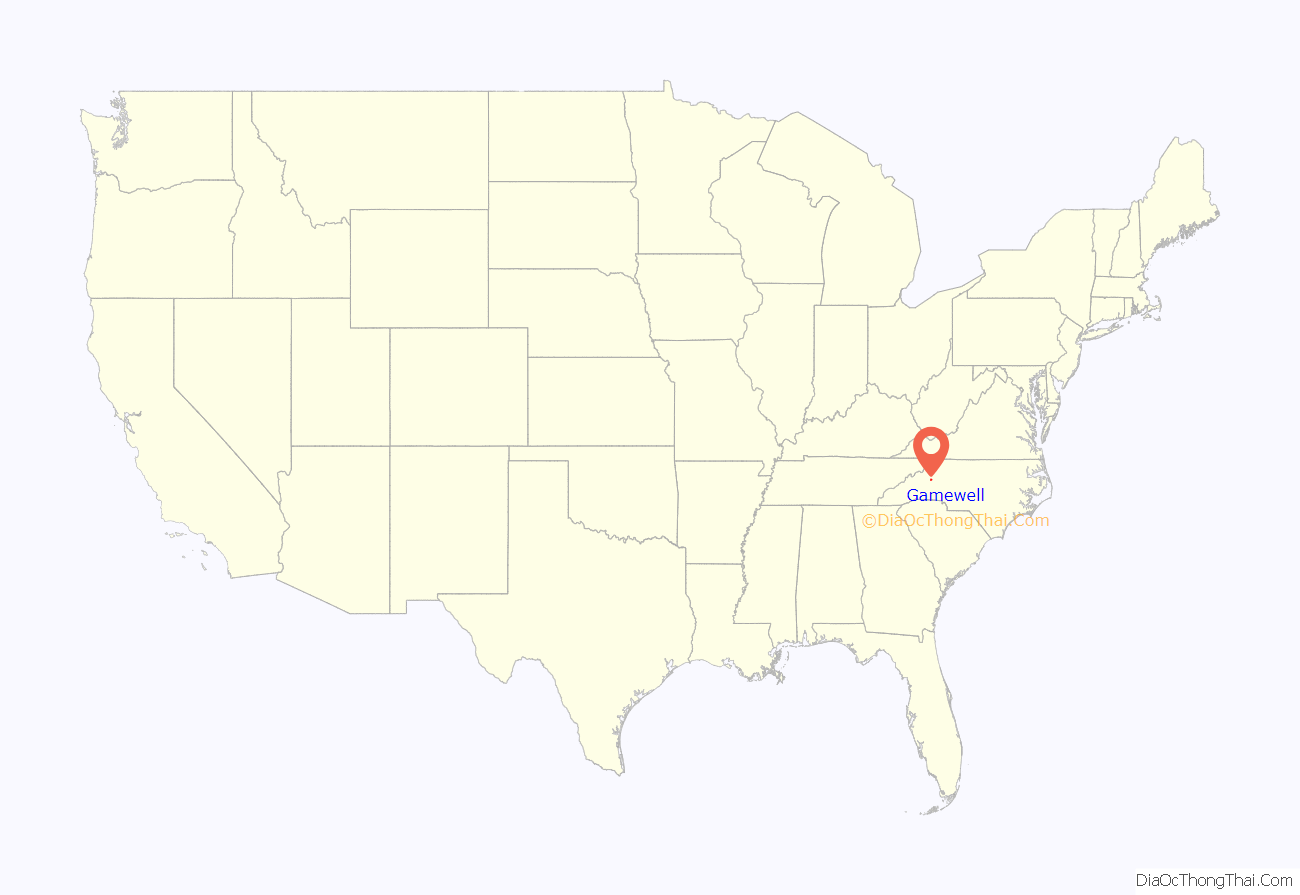
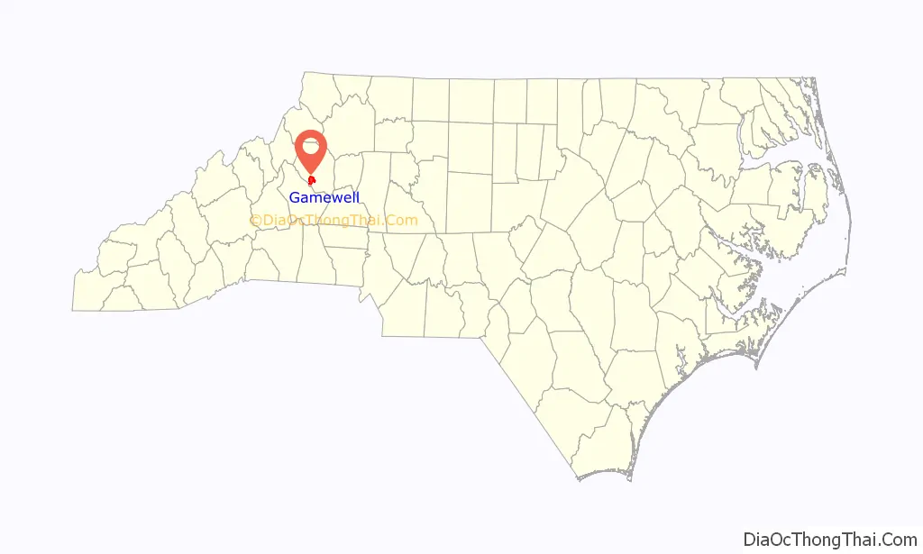
Gamewell location map. Where is Gamewell town?
History
Gamewell was incorporated as a town June 23, 1981.
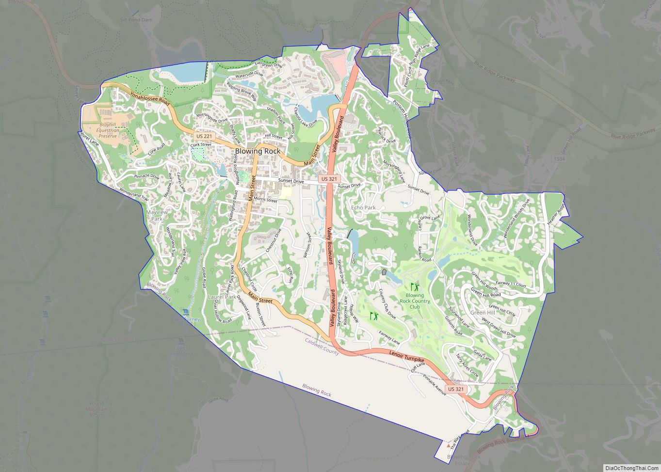
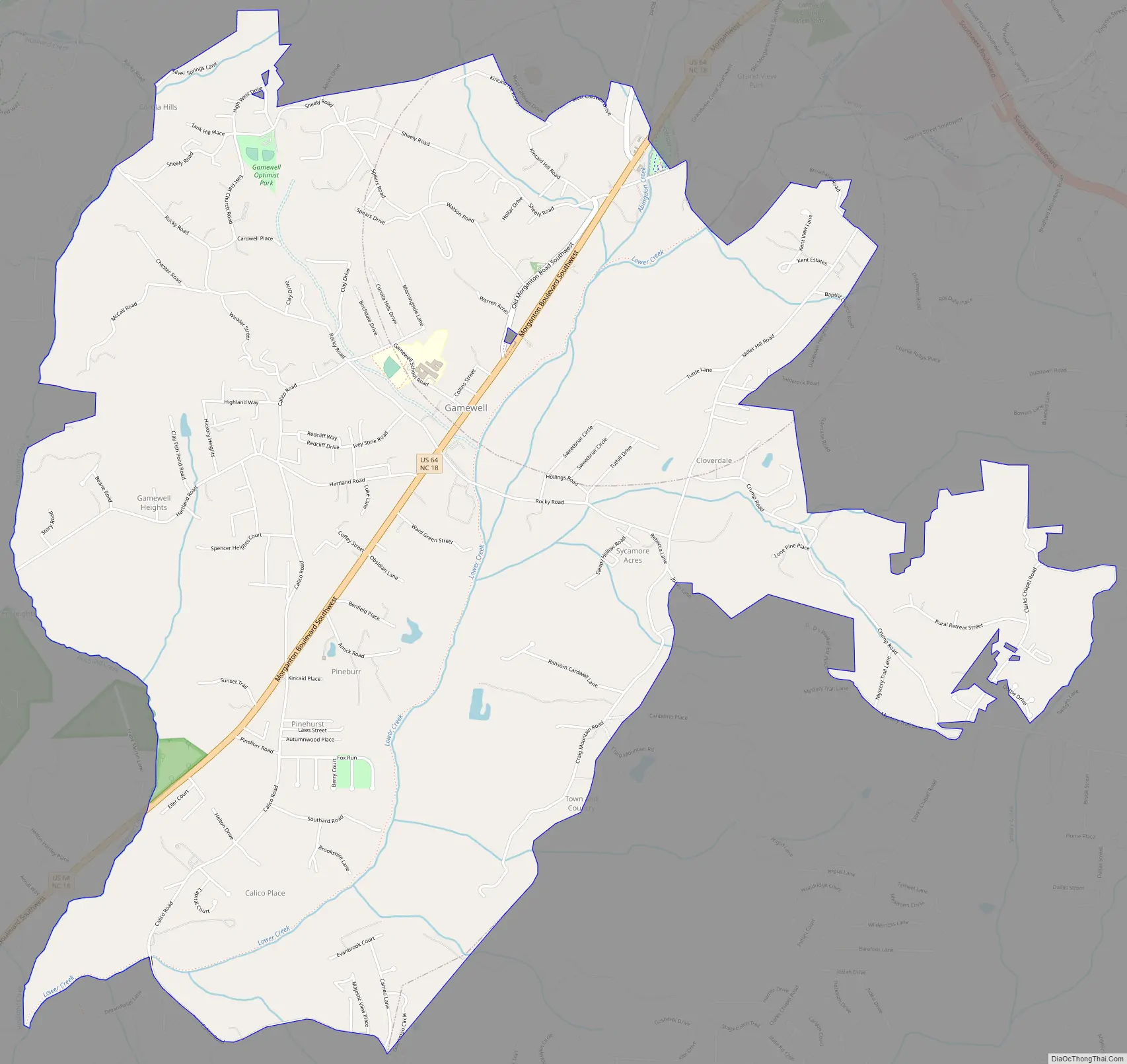
Gamewell Road Map
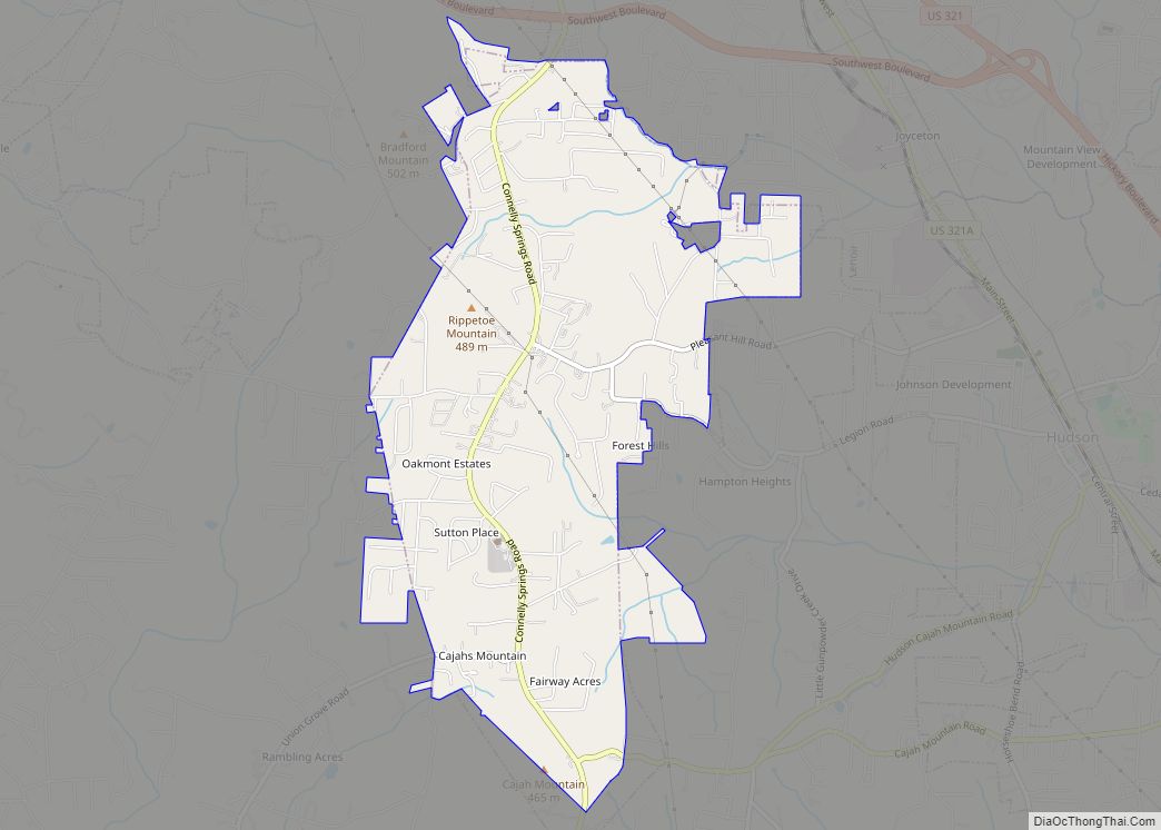
Gamewell city Satellite Map

Geography
Gamewell is located in southwestern Caldwell County at 35°52′07″N 81°35′34″W / 35.868674°N 81.592866°W / 35.868674; -81.592866. It is bordered on the northeast by the city of Lenoir, the county seat. U.S. Route 64 passes through the town, leading northeast into Lenoir and southwest 10 miles (16 km) to Morganton.
According to the United States Census Bureau, the town has a total area of 8.1 square miles (21.0 km), all land. Gamewell is located in the valley of Lower Creek, a southwestward-flowing tributary of the Catawba River.
See also
Map of North Carolina State and its subdivision:- Alamance
- Alexander
- Alleghany
- Anson
- Ashe
- Avery
- Beaufort
- Bertie
- Bladen
- Brunswick
- Buncombe
- Burke
- Cabarrus
- Caldwell
- Camden
- Carteret
- Caswell
- Catawba
- Chatham
- Cherokee
- Chowan
- Clay
- Cleveland
- Columbus
- Craven
- Cumberland
- Currituck
- Dare
- Davidson
- Davie
- Duplin
- Durham
- Edgecombe
- Forsyth
- Franklin
- Gaston
- Gates
- Graham
- Granville
- Greene
- Guilford
- Halifax
- Harnett
- Haywood
- Henderson
- Hertford
- Hoke
- Hyde
- Iredell
- Jackson
- Johnston
- Jones
- Lee
- Lenoir
- Lincoln
- Macon
- Madison
- Martin
- McDowell
- Mecklenburg
- Mitchell
- Montgomery
- Moore
- Nash
- New Hanover
- Northampton
- Onslow
- Orange
- Pamlico
- Pasquotank
- Pender
- Perquimans
- Person
- Pitt
- Polk
- Randolph
- Richmond
- Robeson
- Rockingham
- Rowan
- Rutherford
- Sampson
- Scotland
- Stanly
- Stokes
- Surry
- Swain
- Transylvania
- Tyrrell
- Union
- Vance
- Wake
- Warren
- Washington
- Watauga
- Wayne
- Wilkes
- Wilson
- Yadkin
- Yancey
- Alabama
- Alaska
- Arizona
- Arkansas
- California
- Colorado
- Connecticut
- Delaware
- District of Columbia
- Florida
- Georgia
- Hawaii
- Idaho
- Illinois
- Indiana
- Iowa
- Kansas
- Kentucky
- Louisiana
- Maine
- Maryland
- Massachusetts
- Michigan
- Minnesota
- Mississippi
- Missouri
- Montana
- Nebraska
- Nevada
- New Hampshire
- New Jersey
- New Mexico
- New York
- North Carolina
- North Dakota
- Ohio
- Oklahoma
- Oregon
- Pennsylvania
- Rhode Island
- South Carolina
- South Dakota
- Tennessee
- Texas
- Utah
- Vermont
- Virginia
- Washington
- West Virginia
- Wisconsin
- Wyoming