Forest City, formerly known as “Burnt Chimney,” is a town in Rutherford County, North Carolina, United States. The population was 7,377 as of the 2020 census, making it the largest municipality in Rutherford County.
| Name: | Forest City town |
|---|---|
| LSAD Code: | 43 |
| LSAD Description: | town (suffix) |
| State: | North Carolina |
| County: | Rutherford County |
| Elevation: | 1,047 ft (319 m) |
| Total Area: | 8.59 sq mi (22.23 km²) |
| Land Area: | 8.57 sq mi (22.19 km²) |
| Water Area: | 0.02 sq mi (0.04 km²) |
| Total Population: | 7,377 |
| Population Density: | 860.89/sq mi (332.40/km²) |
| ZIP code: | 28043 |
| Area code: | 828 |
| FIPS code: | 3724080 |
| GNISfeature ID: | 1020302 |
| Website: | www.townofforestcity.com |
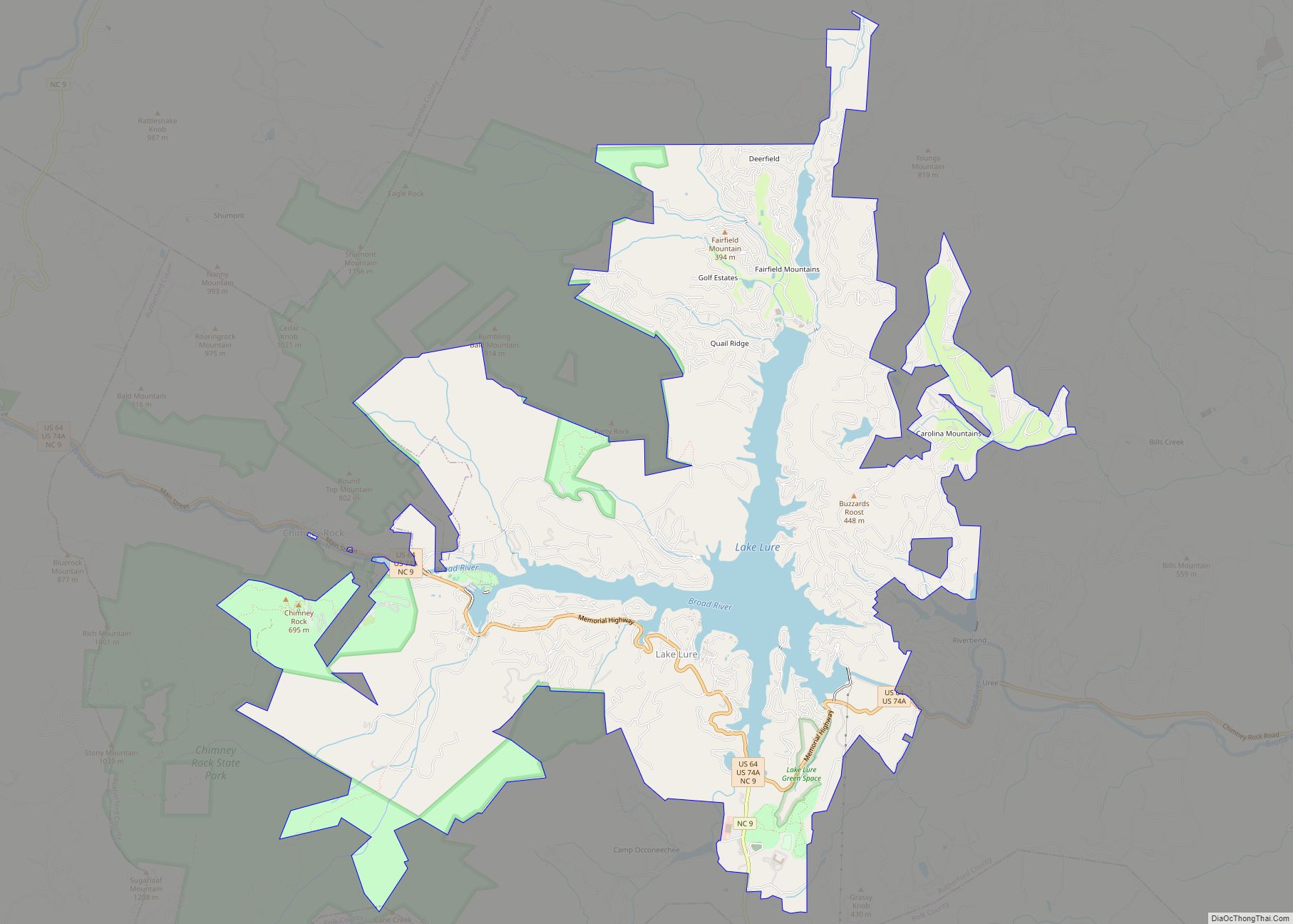
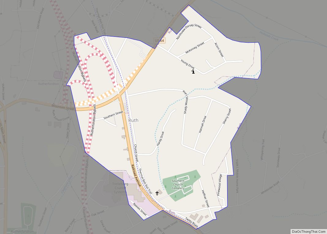
Online Interactive Map
Click on ![]() to view map in "full screen" mode.
to view map in "full screen" mode.
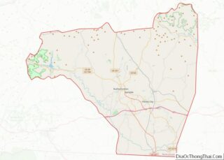
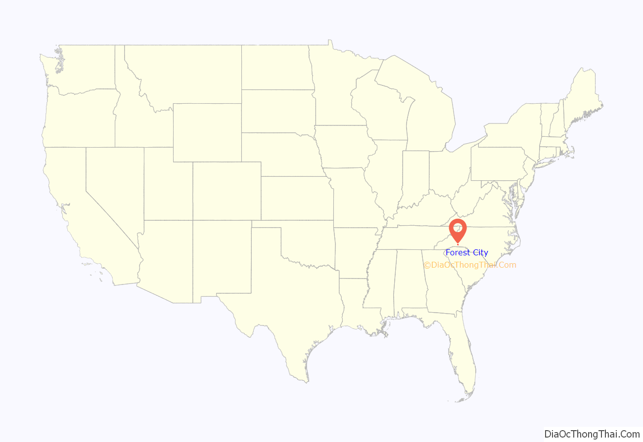
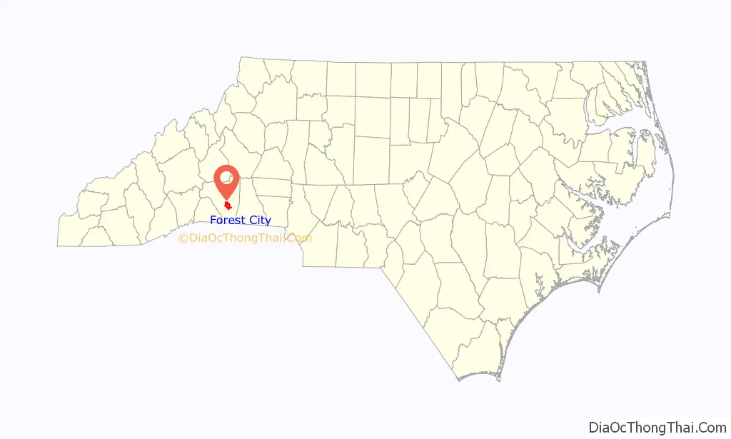
Forest City location map. Where is Forest City town?
History
The Alexander Manufacturing Company Mill Village Historic District, Cool Springs High School, East Main Street Historic District, Forest City Baptist Church, James Dexter Ledbetter House, Main Street Historic District, T. Max Watson House, and West Main Street Historic District are listed on the National Register of Historic Places.
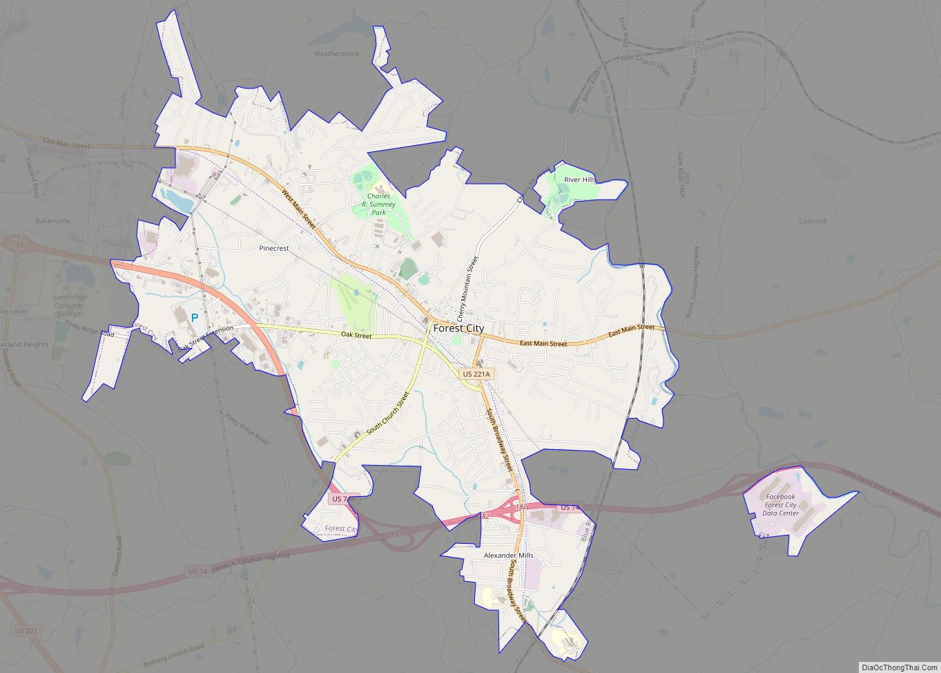
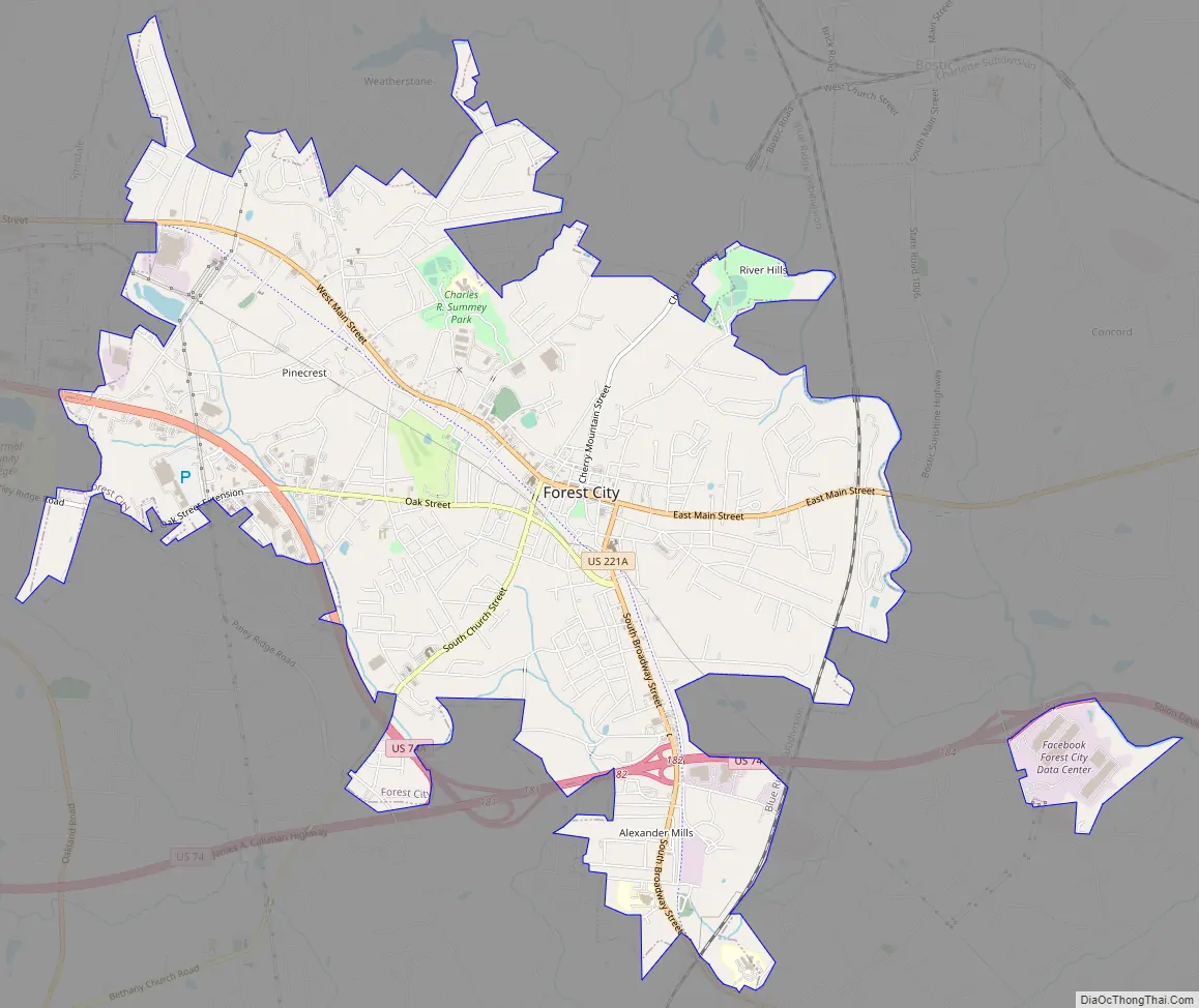
Forest City Road Map
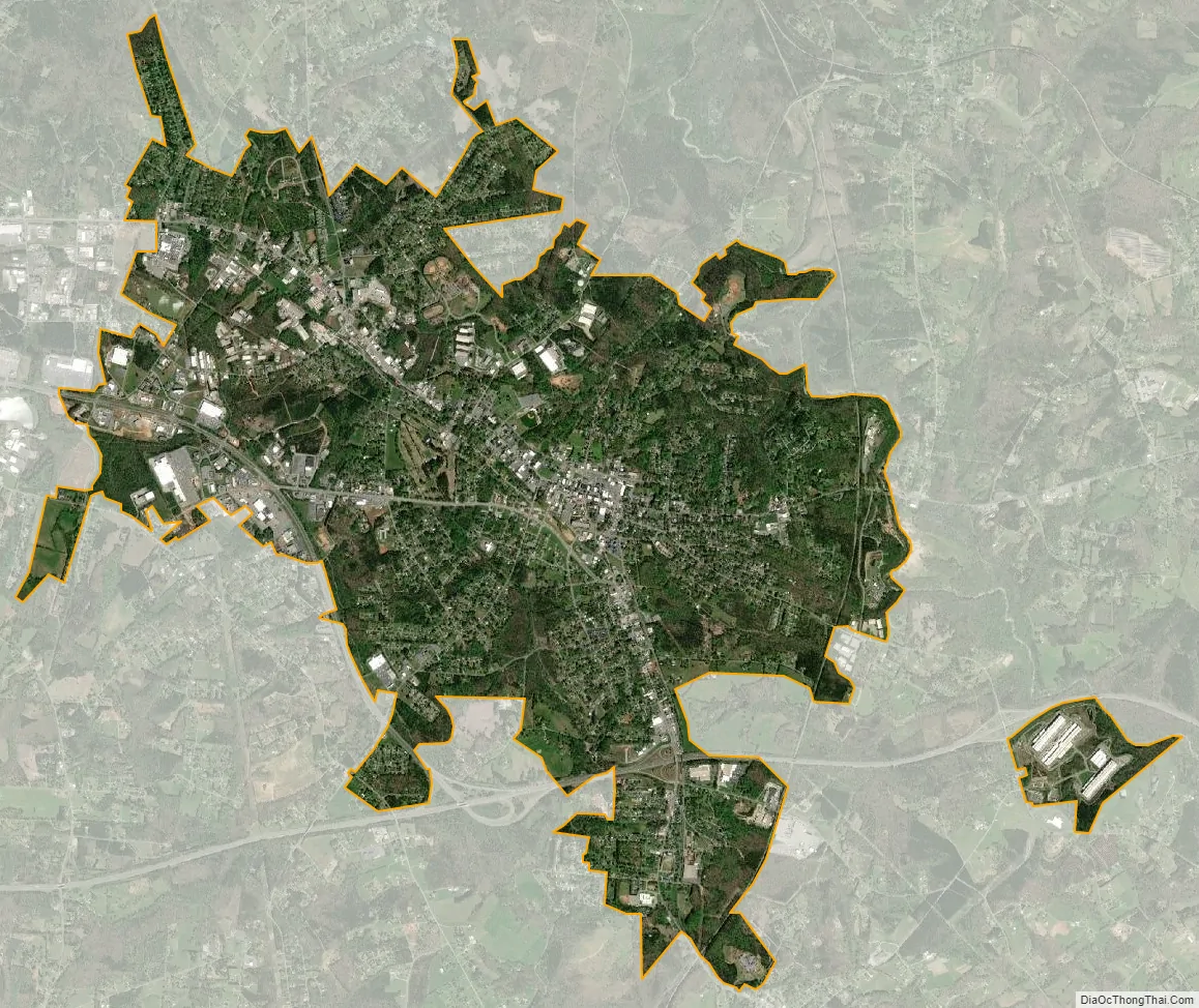
Forest City city Satellite Map
Geography
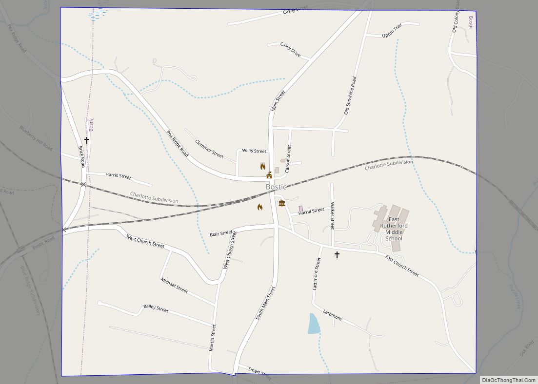
Forest City is located at 35°19′52″N 81°52′12″W / 35.33111°N 81.87000°W / 35.33111; -81.87000 (35.331128, -81.870107). The town lies along a merged stretch of U.S. Route 221A and U.S. Route 74 Bus. This merged highway widens into a four-lane boulevard as it passes through the town’s historic district. The town of Spindale borders Forest City to the west, and the town of Bostic lies just to the northeast.
According to the United States Census Bureau, the town has a total area of 8.2 square miles (21 km), of which 8.2 square miles (21 km) are land and 0.04-square-mile (0.10 km) (0.24%) is water.
In 1999, Alexander Mills merged with and became a part of Forest City.
See also
Map of North Carolina State and its subdivision:- Alamance
- Alexander
- Alleghany
- Anson
- Ashe
- Avery
- Beaufort
- Bertie
- Bladen
- Brunswick
- Buncombe
- Burke
- Cabarrus
- Caldwell
- Camden
- Carteret
- Caswell
- Catawba
- Chatham
- Cherokee
- Chowan
- Clay
- Cleveland
- Columbus
- Craven
- Cumberland
- Currituck
- Dare
- Davidson
- Davie
- Duplin
- Durham
- Edgecombe
- Forsyth
- Franklin
- Gaston
- Gates
- Graham
- Granville
- Greene
- Guilford
- Halifax
- Harnett
- Haywood
- Henderson
- Hertford
- Hoke
- Hyde
- Iredell
- Jackson
- Johnston
- Jones
- Lee
- Lenoir
- Lincoln
- Macon
- Madison
- Martin
- McDowell
- Mecklenburg
- Mitchell
- Montgomery
- Moore
- Nash
- New Hanover
- Northampton
- Onslow
- Orange
- Pamlico
- Pasquotank
- Pender
- Perquimans
- Person
- Pitt
- Polk
- Randolph
- Richmond
- Robeson
- Rockingham
- Rowan
- Rutherford
- Sampson
- Scotland
- Stanly
- Stokes
- Surry
- Swain
- Transylvania
- Tyrrell
- Union
- Vance
- Wake
- Warren
- Washington
- Watauga
- Wayne
- Wilkes
- Wilson
- Yadkin
- Yancey
- Alabama
- Alaska
- Arizona
- Arkansas
- California
- Colorado
- Connecticut
- Delaware
- District of Columbia
- Florida
- Georgia
- Hawaii
- Idaho
- Illinois
- Indiana
- Iowa
- Kansas
- Kentucky
- Louisiana
- Maine
- Maryland
- Massachusetts
- Michigan
- Minnesota
- Mississippi
- Missouri
- Montana
- Nebraska
- Nevada
- New Hampshire
- New Jersey
- New Mexico
- New York
- North Carolina
- North Dakota
- Ohio
- Oklahoma
- Oregon
- Pennsylvania
- Rhode Island
- South Carolina
- South Dakota
- Tennessee
- Texas
- Utah
- Vermont
- Virginia
- Washington
- West Virginia
- Wisconsin
- Wyoming