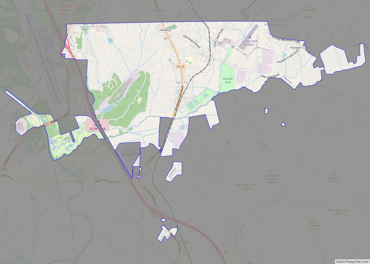
Fletcher is a town in Henderson County, North Carolina, United States. The population was 7,187 at the 2010 census, and was estimated to be 8,333 in 2018.
Fletcher is adjacent to Asheville Regional Airport, which serves western North Carolina. It is part of the Asheville Metropolitan Statistical Area.
| Name: | Fletcher town |
|---|---|
| LSAD Code: | 43 |
| LSAD Description: | town (suffix) |
| State: | North Carolina |
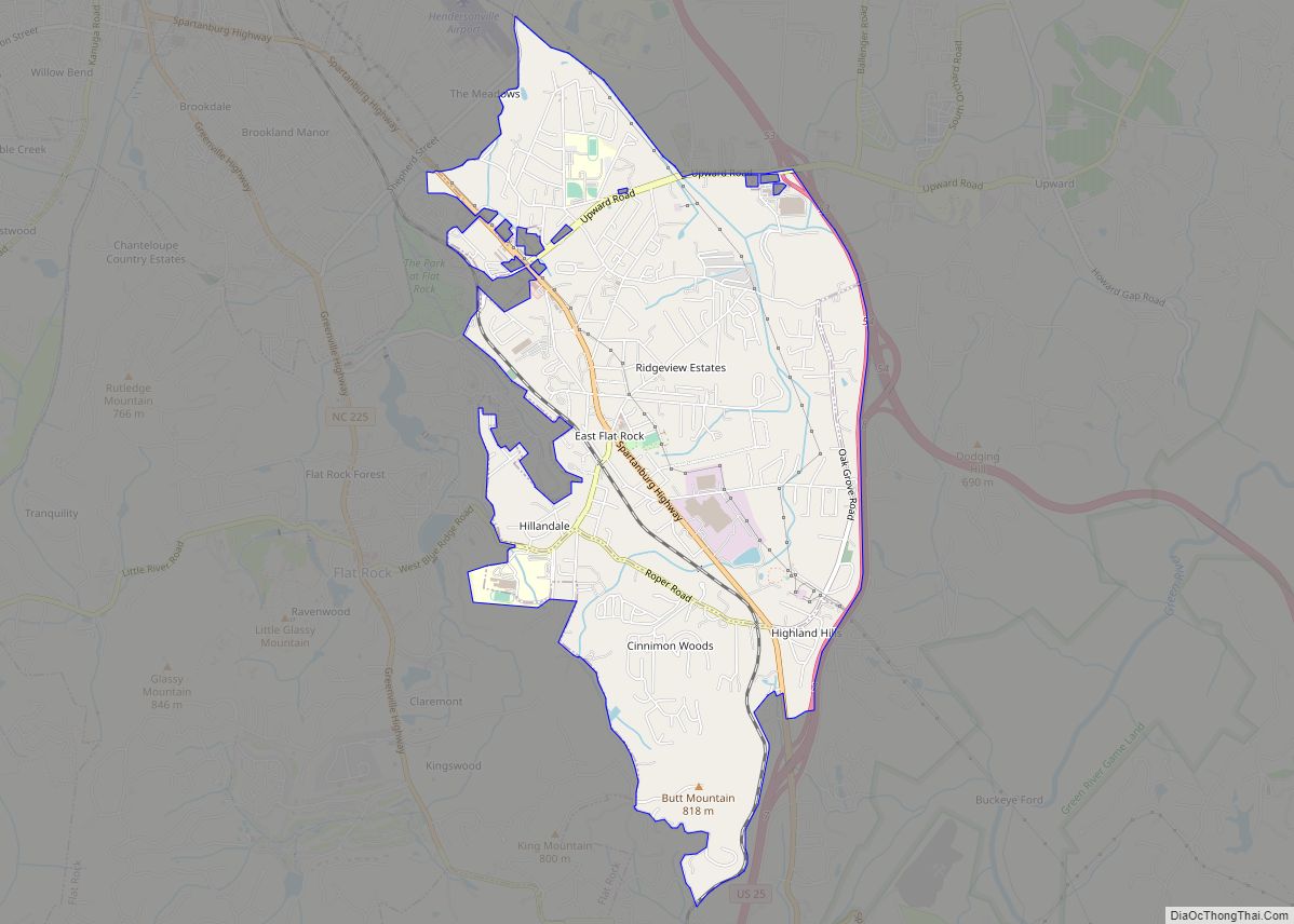
| County: | Henderson County |
| Founded: | 1883 |
| Incorporated: | 1989 |
| Elevation: | 2,123 ft (647 m) |
| Total Area: | 6.47 sq mi (16.75 km²) |
| Land Area: | 6.39 sq mi (16.56 km²) |
| Water Area: | 0.07 sq mi (0.18 km²) |
| Total Population: | 7,987 |
| Population Density: | 1,248.94/sq mi (482.21/km²) |
| ZIP code: | 28732 |
| Area code: | 828 |
| FIPS code: | 3723760 |
| GNISfeature ID: | 1020286 |
| Website: | www.fletchernc.org |
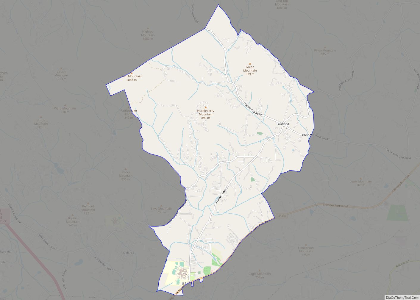
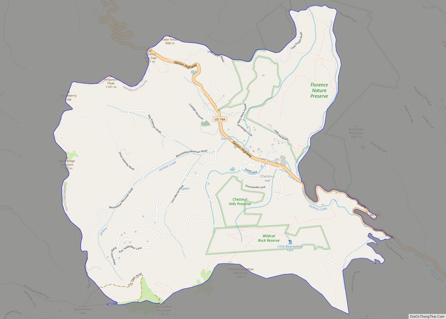
Online Interactive Map
Click on ![]() to view map in "full screen" mode.
to view map in "full screen" mode.
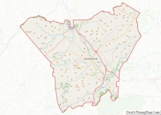
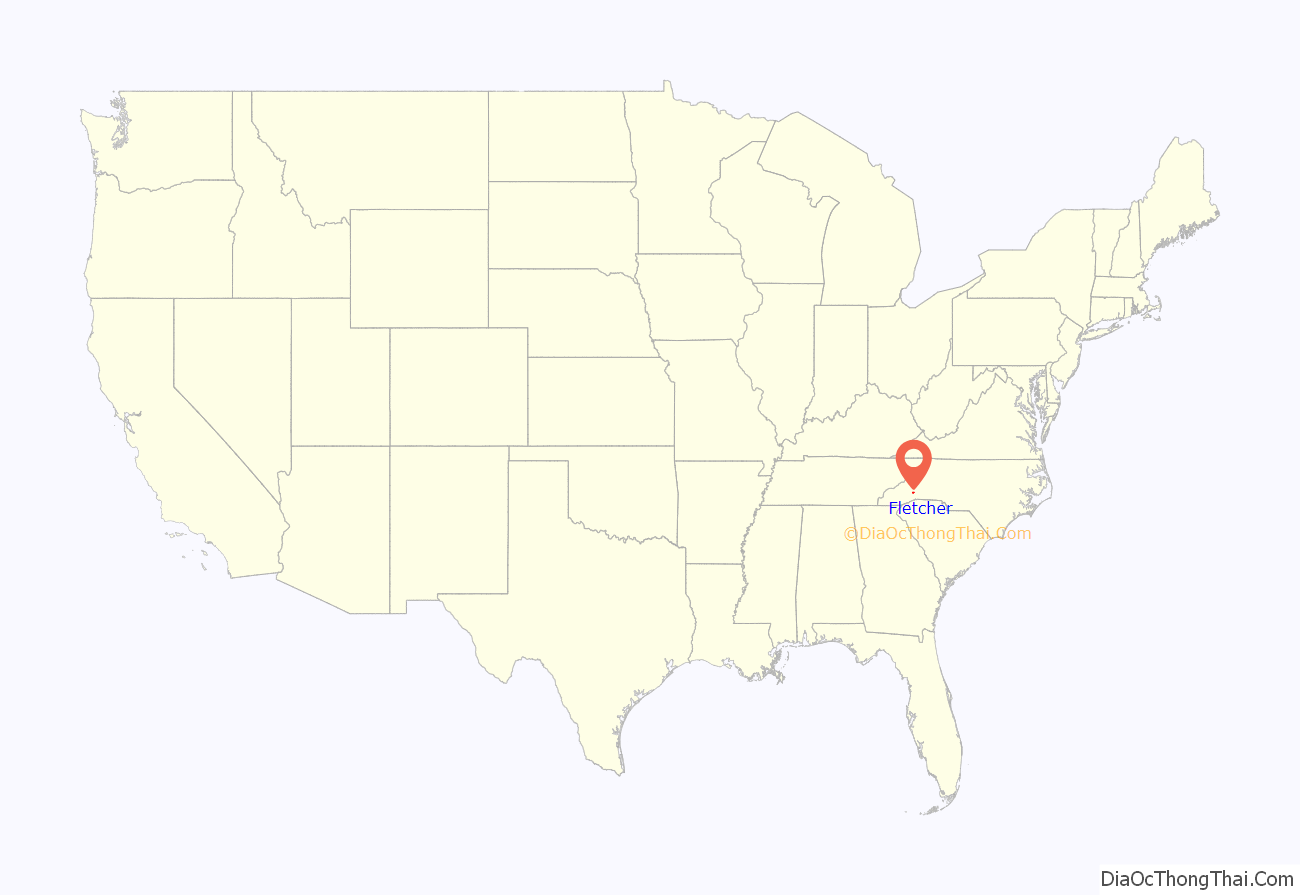
Fletcher location map. Where is Fletcher town?

History
Fletcher was first settled in 1795 when Samuel Murray decided to move his family to the mountains of western North Carolina. His family made the difficult journey from South Carolina up the old Howard Gap Road which, in areas, was little more than an old Indian trail. Samuel decided he wanted to live just east of the location where Howard Gap Road ended which is very close to where Fletcher Community Park is located today. Murray began buying property in what was then the Limestone District of Buncombe County. Eventually he purchased more than 10,000 acres bounded roughly by Cane Creek to the south, the French Broad River to the west, Long Shoals Road to the north and Hooper’s Creek and Burney Mountain to the East. In 1827, Samuel’s son opened the first post office in the Limestone District and the area became known as Murrayville. The Town was used by Stateville, North Carolina to access the Asheville Metropolitan Area and is still being used to give Statesville access to the Asheville Metropolitan Area.
Murrayville became a strategic location because it was one of the main way-stations on the Buncombe Turnpike which was built in the early 1800s. This road quickly became the main passageway for families, farmers, and traders traveling from South Carolina up into Asheville and points north. In 1837, Murrayville was renamed Shufordsville after the newly appointed Postmaster Jacob Rhyne Shuford. Shortly thereafter in 1838, the state of North Carolina formed the last hundred of its counties and Shufordsville was no longer part of Buncombe County but rather part of the newly created Henderson County. Shufordsville continued to slowly grow and changed its name one last time when the town’s namesake, Dr. George Fletcher, became the local postmaster in 1886.
The Meadows and Rugby Grange are listed on the National Register of Historic Places.
Fletcher Road Map
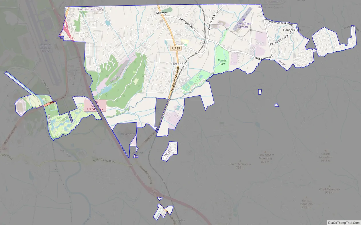
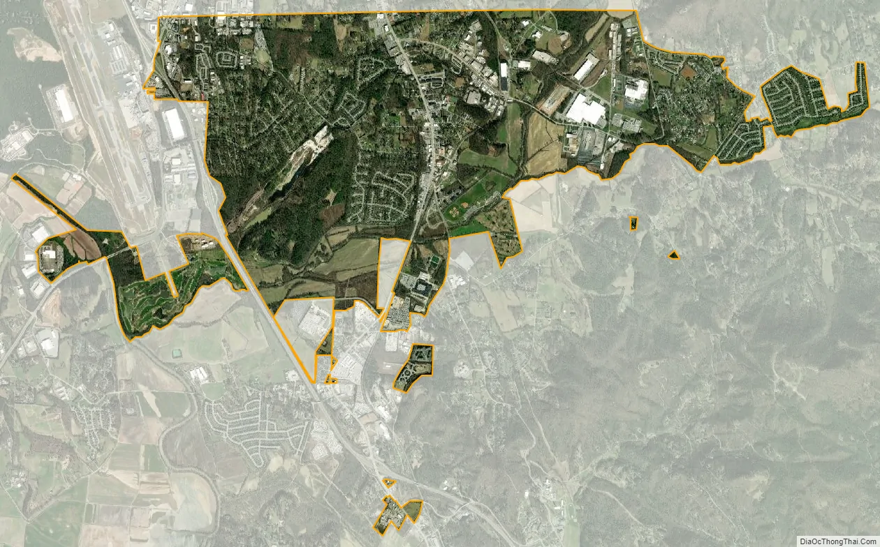
Fletcher city Satellite Map
Geography
Fletcher is located on the northern edge of Henderson County at 35°25′58″N 82°30′24″W / 35.43278°N 82.50667°W / 35.43278; -82.50667 (35.432840, -82.506648). It is bordered to the north by the city of Asheville in Buncombe County. It is bordered to the west by the town of Mills River and to the east by unincorporated Hoopers Creek, both in Henderson County.
Interstate 26 passes through the western side of Fletcher, with access from Exits 40 and 44. U.S. Route 25 (Hendersonville Road) passes through the center of Fletcher, leading north 12 miles (19 km) to the center of Asheville and south 9 miles (14 km) to Hendersonville.
According to the United States Census Bureau, the town of Fletcher has a total area of 6.5 square miles (16.8 km), of which 6.4 square miles (16.6 km) are land and 0.1 square miles (0.2 km), or 1.18%, are water.
See also
Map of North Carolina State and its subdivision:- Alamance
- Alexander
- Alleghany
- Anson
- Ashe
- Avery
- Beaufort
- Bertie
- Bladen
- Brunswick
- Buncombe
- Burke
- Cabarrus
- Caldwell
- Camden
- Carteret
- Caswell
- Catawba
- Chatham
- Cherokee
- Chowan
- Clay
- Cleveland
- Columbus
- Craven
- Cumberland
- Currituck
- Dare
- Davidson
- Davie
- Duplin
- Durham
- Edgecombe
- Forsyth
- Franklin
- Gaston
- Gates
- Graham
- Granville
- Greene
- Guilford
- Halifax
- Harnett
- Haywood
- Henderson
- Hertford
- Hoke
- Hyde
- Iredell
- Jackson
- Johnston
- Jones
- Lee
- Lenoir
- Lincoln
- Macon
- Madison
- Martin
- McDowell
- Mecklenburg
- Mitchell
- Montgomery
- Moore
- Nash
- New Hanover
- Northampton
- Onslow
- Orange
- Pamlico
- Pasquotank
- Pender
- Perquimans
- Person
- Pitt
- Polk
- Randolph
- Richmond
- Robeson
- Rockingham
- Rowan
- Rutherford
- Sampson
- Scotland
- Stanly
- Stokes
- Surry
- Swain
- Transylvania
- Tyrrell
- Union
- Vance
- Wake
- Warren
- Washington
- Watauga
- Wayne
- Wilkes
- Wilson
- Yadkin
- Yancey
- Alabama
- Alaska
- Arizona
- Arkansas
- California
- Colorado
- Connecticut
- Delaware
- District of Columbia
- Florida
- Georgia
- Hawaii
- Idaho
- Illinois
- Indiana
- Iowa
- Kansas
- Kentucky
- Louisiana
- Maine
- Maryland
- Massachusetts
- Michigan
- Minnesota
- Mississippi
- Missouri
- Montana
- Nebraska
- Nevada
- New Hampshire
- New Jersey
- New Mexico
- New York
- North Carolina
- North Dakota
- Ohio
- Oklahoma
- Oregon
- Pennsylvania
- Rhode Island
- South Carolina
- South Dakota
- Tennessee
- Texas
- Utah
- Vermont
- Virginia
- Washington
- West Virginia
- Wisconsin
- Wyoming