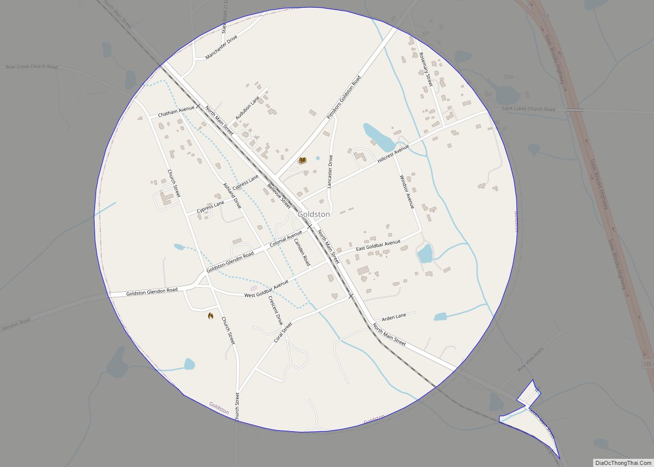
Goldston town overview: Name: Goldston town LSAD Code: 43 LSAD Description: town (suffix) State: North Carolina County: Chatham County FIPS code: 3726920 Online Interactive Map Goldston online map. Source: Basemap layers from Google Map, Open Street Map (OSM), Arcgisonline, Wmflabs. Boundary Data from Database of Global Administrative Areas. Goldston location map. Where is Goldston town? ... Read more
North Carolina Cities and Places
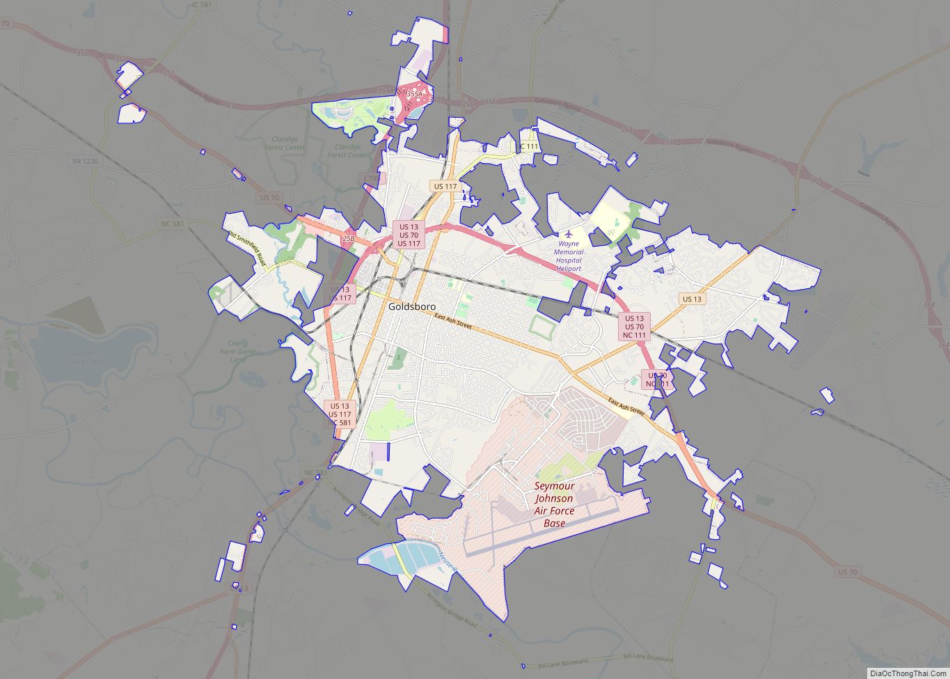
Goldsboro, originally Goldsborough, is a city and the county seat of Wayne County, North Carolina, United States. The population was 33,657 at the 2020 census. It is the principal city of and is included in the Goldsboro, North Carolina Metropolitan Statistical Area. The nearby town of Waynesboro was founded in 1787, and Goldsboro was incorporated ... Read more
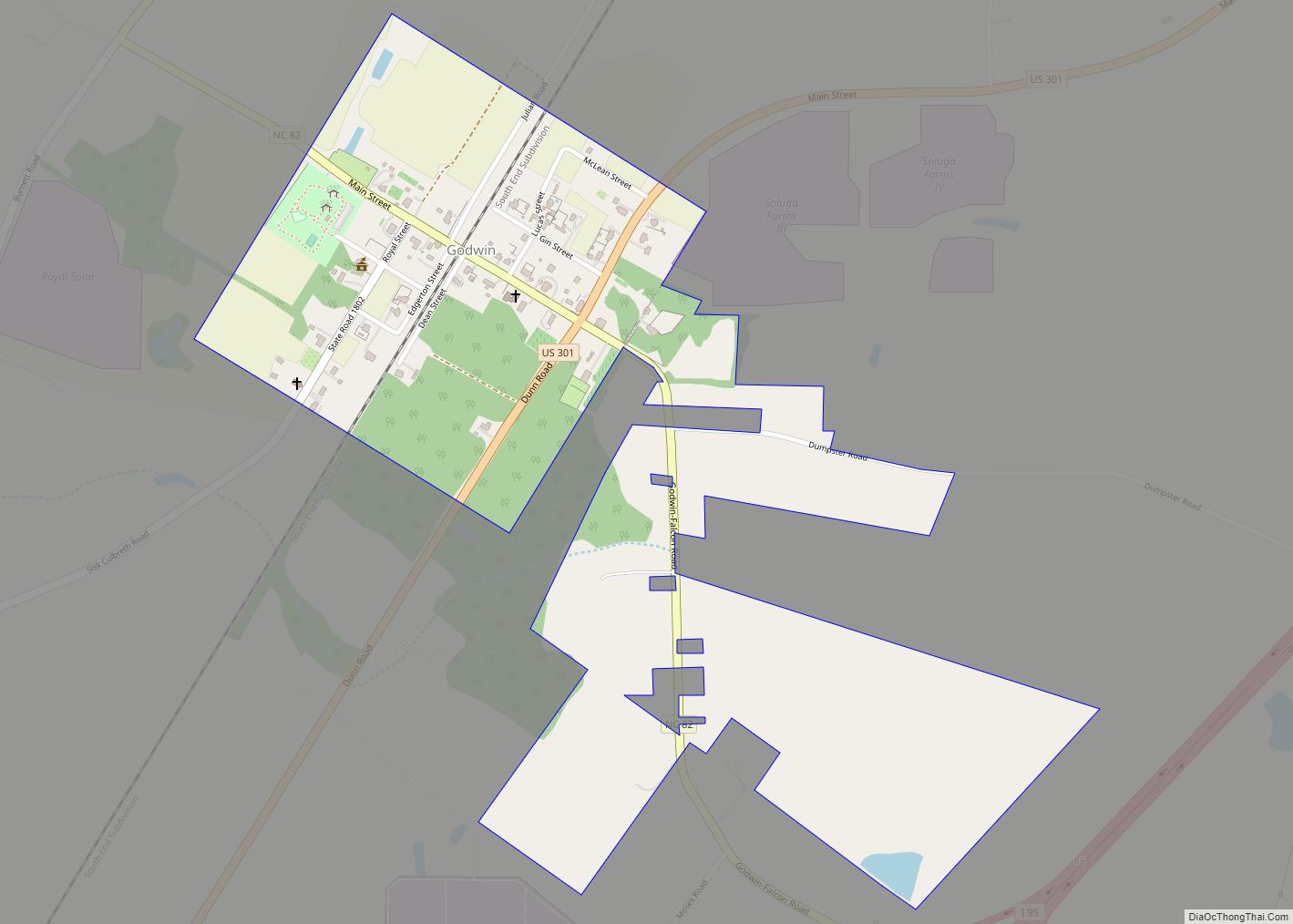
Godwin is a town in Cumberland County, North Carolina, United States. The population was 139 at the 2010 census. Godwin town overview: Name: Godwin town LSAD Code: 43 LSAD Description: town (suffix) State: North Carolina County: Cumberland County Elevation: 154 ft (47 m) Total Area: 0.63 sq mi (1.63 km²) Land Area: 0.63 sq mi (1.63 km²) Water Area: 0.00 sq mi (0.00 km²) Total Population: ... Read more
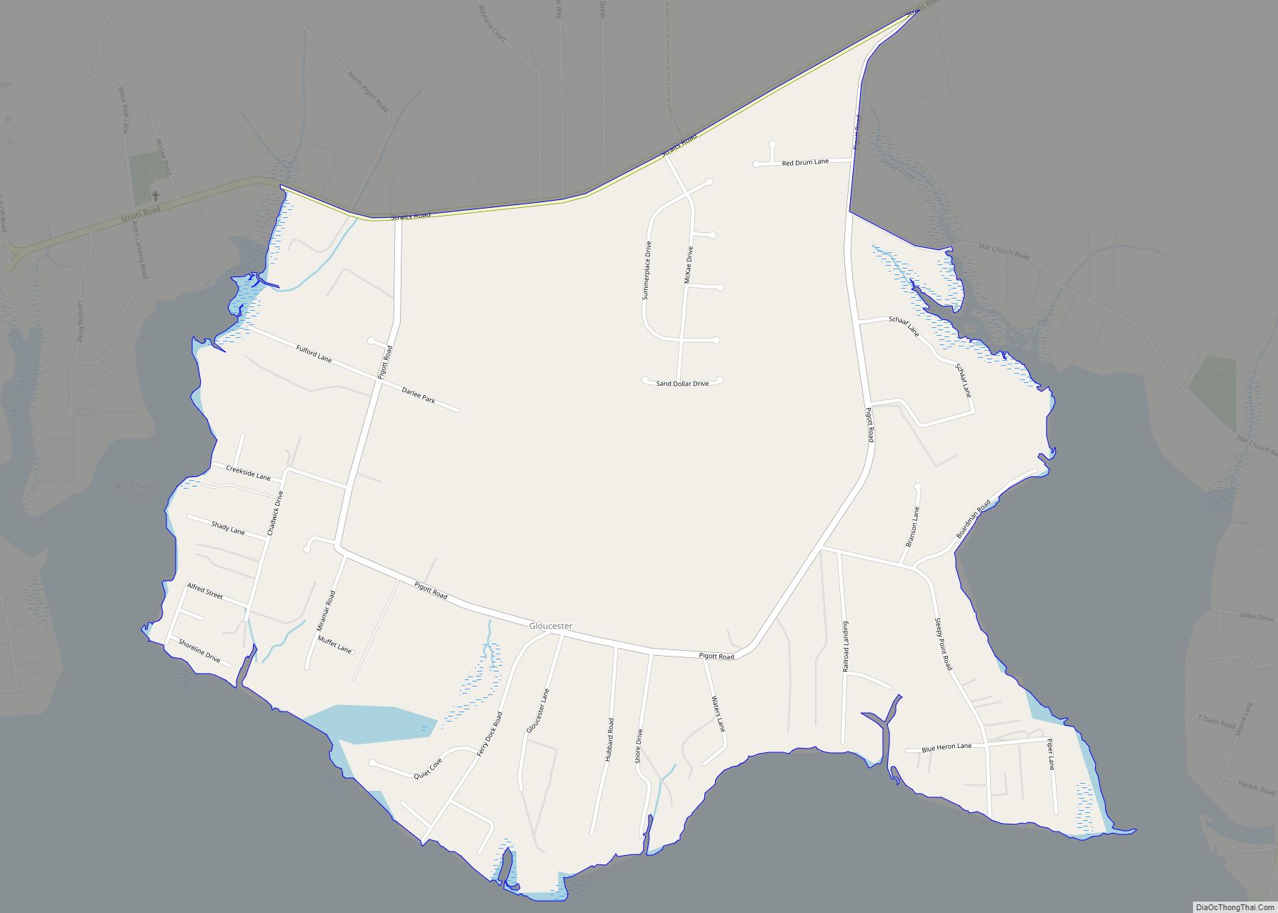
Gloucester is an unincorporated area and census-designated place (CDP) in Carteret County, North Carolina, United States. As of the 2010 census it had a population of 537. Gloucester CDP overview: Name: Gloucester CDP LSAD Code: 57 LSAD Description: CDP (suffix) State: North Carolina County: Carteret County Elevation: 6 ft (2 m) Total Area: 1.45 sq mi (3.76 km²) Land Area: ... Read more
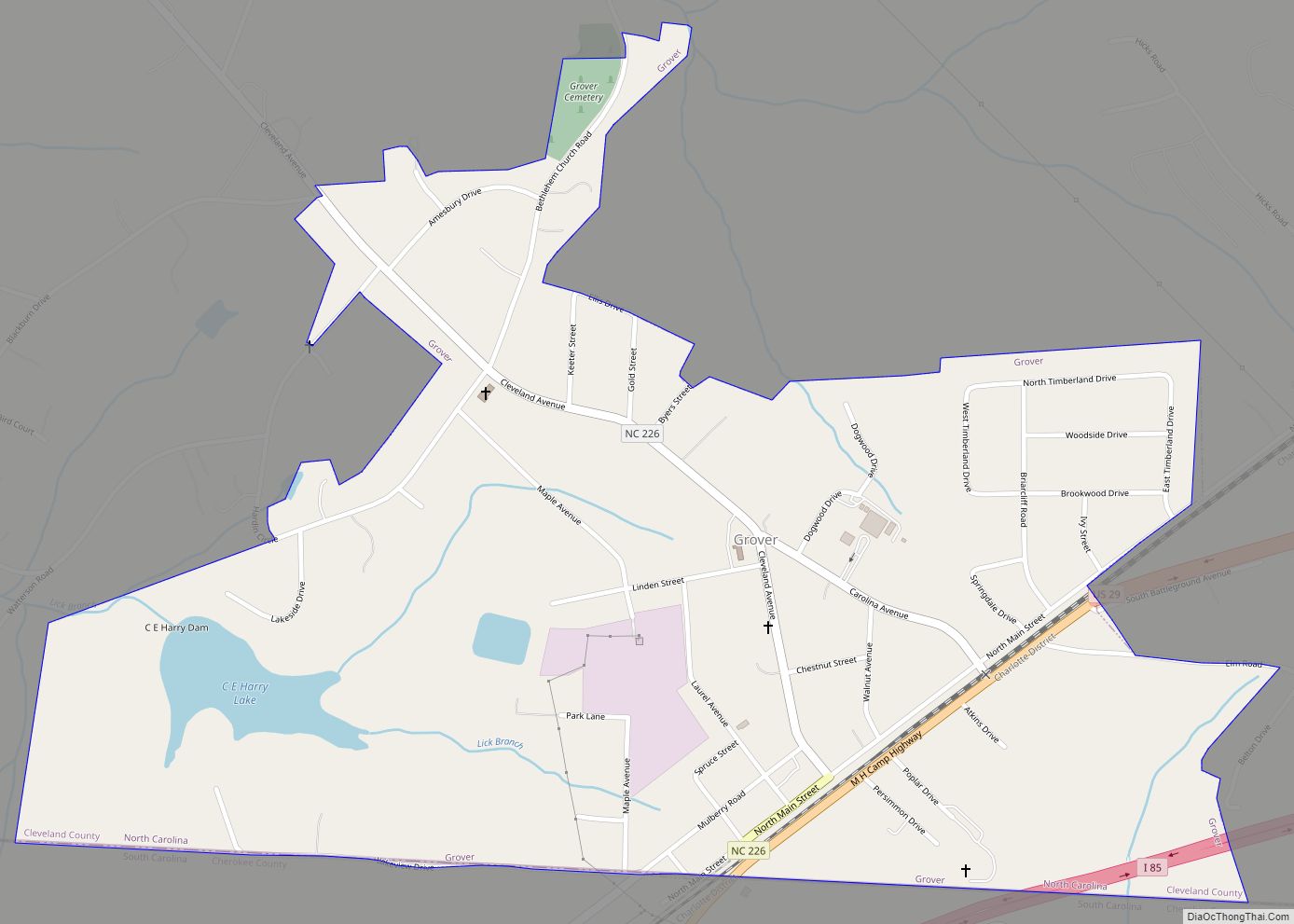
Grover is a town in Cleveland County, North Carolina, United States. The population was 708 at the 2010 census. Grover town overview: Name: Grover town LSAD Code: 43 LSAD Description: town (suffix) State: North Carolina County: Cleveland County Elevation: 860 ft (262 m) Total Area: 0.98 sq mi (2.55 km²) Land Area: 0.96 sq mi (2.47 km²) Water Area: 0.03 sq mi (0.08 km²) Total Population: ... Read more
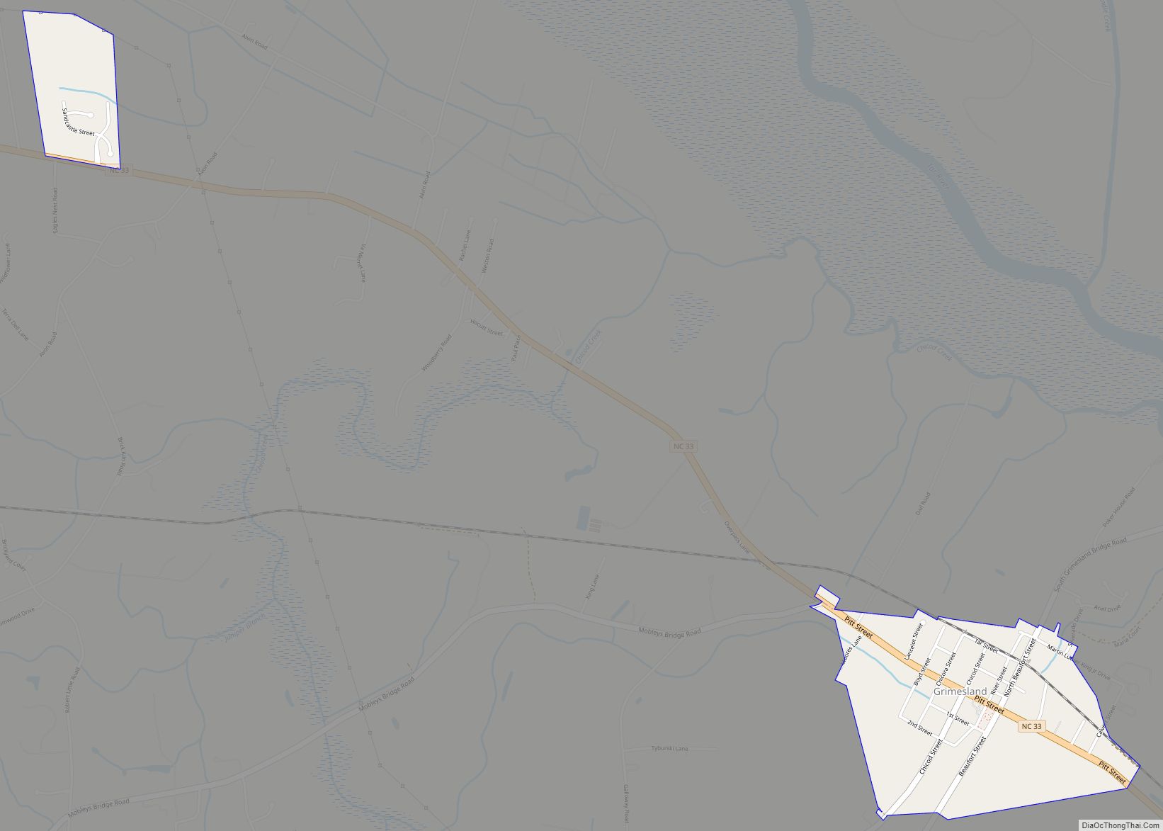
Grimesland is a town in Pitt County, North Carolina, United States. The population was 441 at the 2010 Census. The town is a part of the Greenville Metropolitan Area located in North Carolina’s Inner Banks . Grimesland town overview: Name: Grimesland town LSAD Code: 43 LSAD Description: town (suffix) State: North Carolina County: Pitt County ... Read more
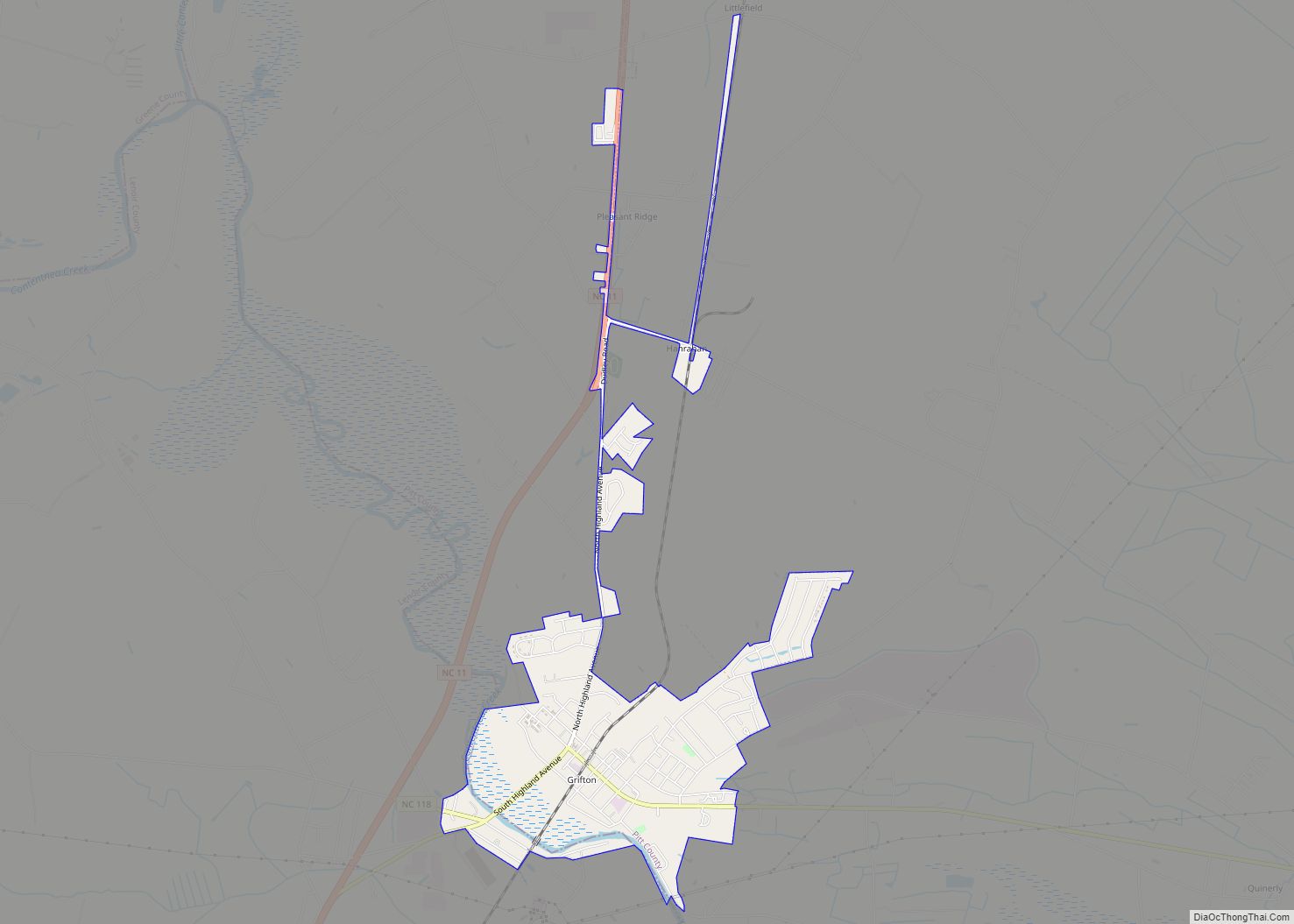
Grifton is a town in Lenoir and Pitt counties, North Carolina, United States. The population was 2,617 at the 2010 Census. The Pitt County portion of the town is a part of the Greenville Metropolitan Area located in North Carolina’s Inner Banks region. Grifton town overview: Name: Grifton town LSAD Code: 43 LSAD Description: town ... Read more
Greenville is the county seat of and the most populous city in Pitt County, North Carolina, United States; the principal city of the Greenville metropolitan area; and the 12th-most populous city in North Carolina. Greenville is the health, entertainment, and educational hub of North Carolina’s Tidewater and Coastal Plain. As of the 2020 census, there ... Read more
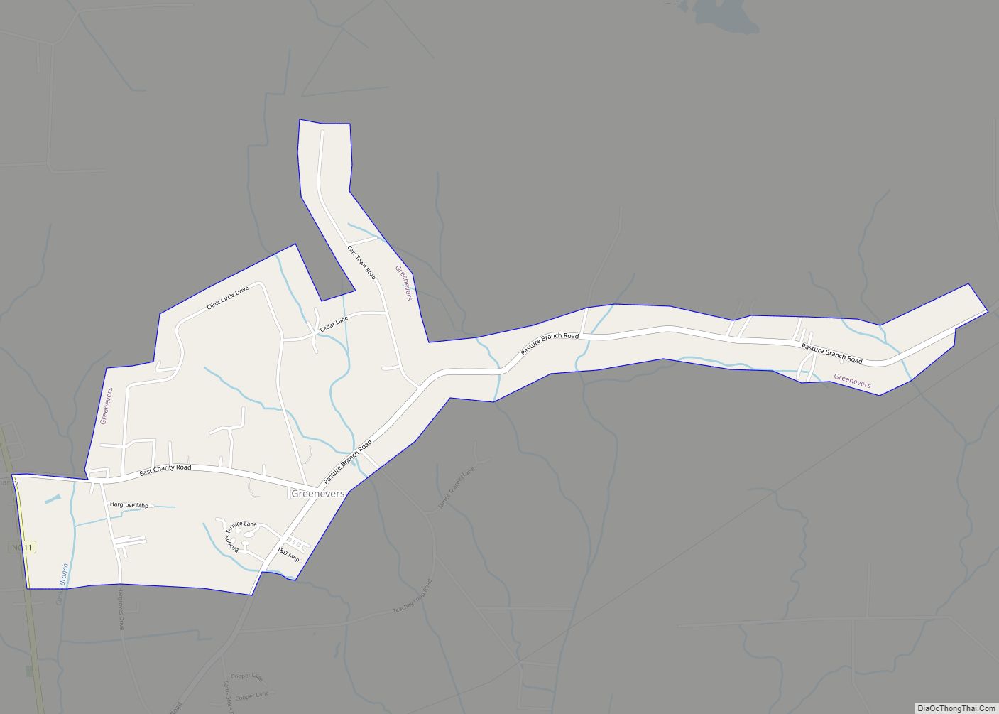
Greenevers is a town in Duplin County, North Carolina, United States. The population was 634 at the 2010 census. Greenevers town overview: Name: Greenevers town LSAD Code: 43 LSAD Description: town (suffix) State: North Carolina County: Duplin County Elevation: 59 ft (18 m) Total Area: 1.59 sq mi (4.11 km²) Land Area: 1.59 sq mi (4.11 km²) Water Area: 0.00 sq mi (0.00 km²) Total Population: ... Read more
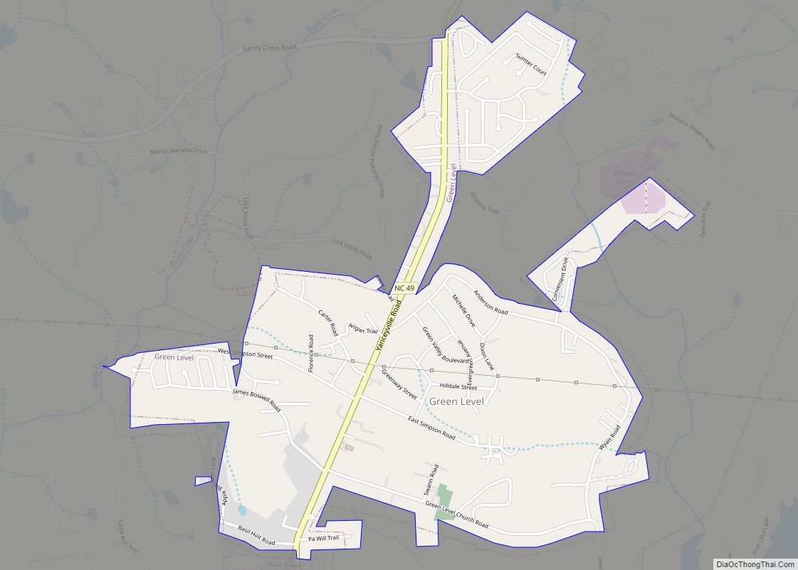
Green Level is a town in Alamance County, North Carolina, United States. It is part of the Burlington, North Carolina Metropolitan Statistical Area. As of the 2020 census, the population was 3,156. Green Level town overview: Name: Green Level town LSAD Code: 43 LSAD Description: town (suffix) State: North Carolina County: Alamance County Elevation: 600 ft ... Read more
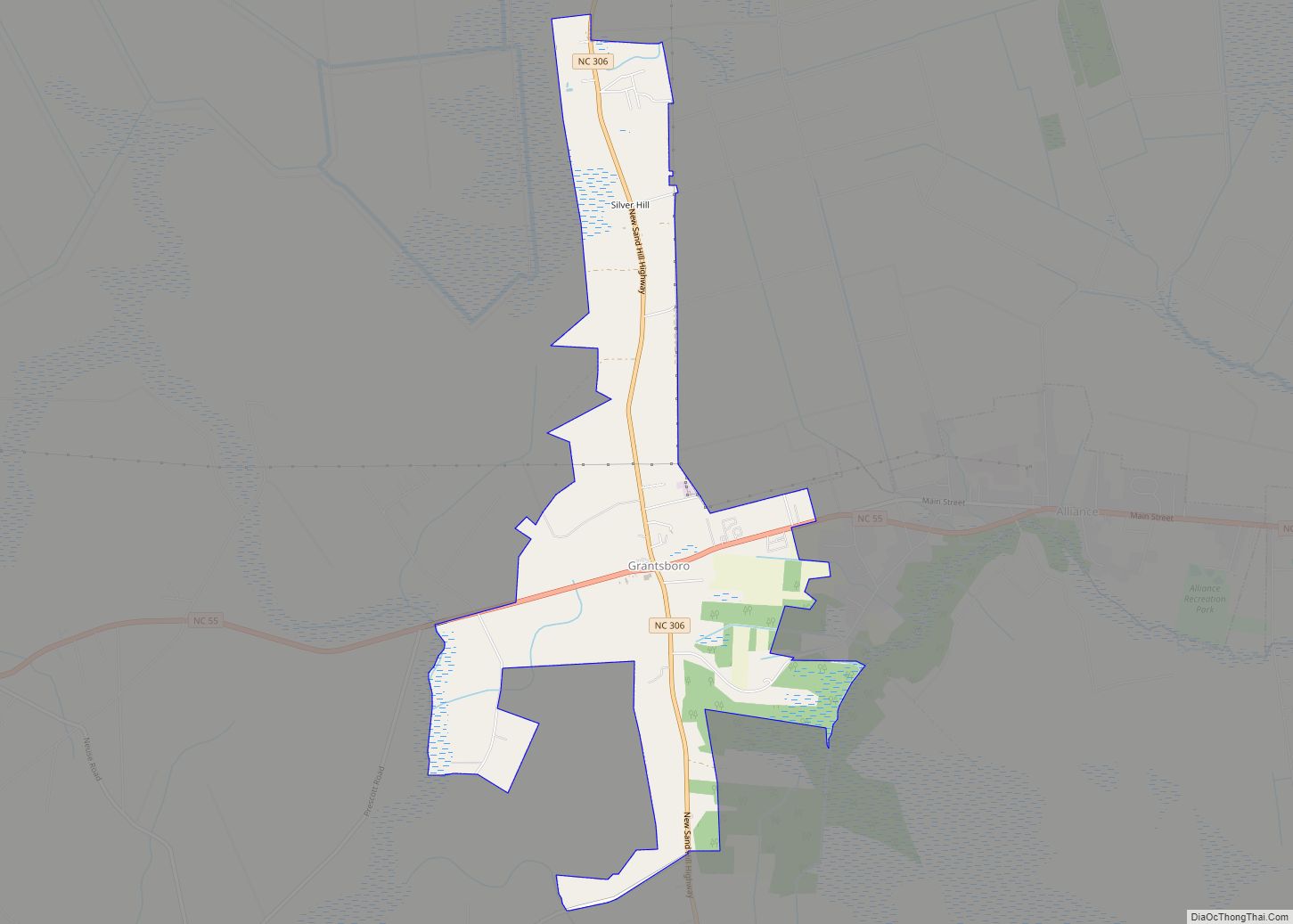
Grantsboro is a town in Pamlico County, North Carolina, United States. It was incorporated in 1997 and is located at the intersection of North Carolina Highways 55 and 306. The town is part of the New Bern, North Carolina Metropolitan Statistical Area. Grantsboro town overview: Name: Grantsboro town LSAD Code: 43 LSAD Description: town (suffix) ... Read more
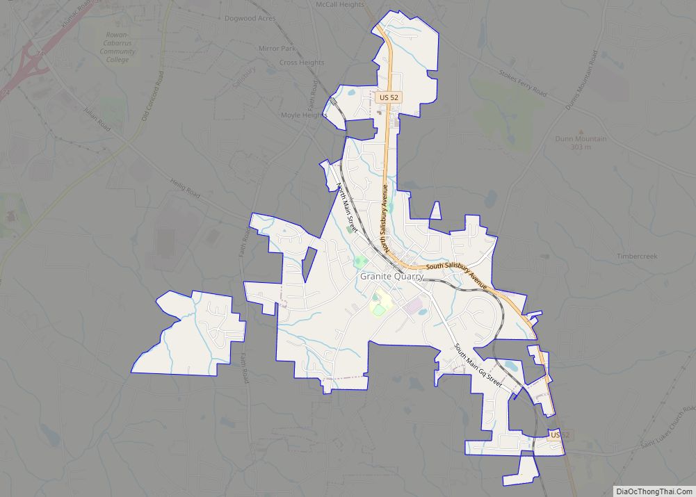
Granite Quarry is a town in Rowan County, North Carolina, United States. The population was 2,930 at the 2010 census. Granite Quarry town overview: Name: Granite Quarry town LSAD Code: 43 LSAD Description: town (suffix) State: North Carolina County: Rowan County Elevation: 820 ft (250 m) Total Area: 2.92 sq mi (7.56 km²) Land Area: 2.92 sq mi (7.56 km²) Water Area: 0.00 sq mi ... Read more
