Gloucester is an unincorporated area and census-designated place (CDP) in Carteret County, North Carolina, United States. As of the 2010 census it had a population of 537.
| Name: | Gloucester CDP |
|---|---|
| LSAD Code: | 57 |
| LSAD Description: | CDP (suffix) |
| State: | North Carolina |
| County: | Carteret County |
| Elevation: | 6 ft (2 m) |
| Total Area: | 1.45 sq mi (3.76 km²) |
| Land Area: | 1.44 sq mi (3.72 km²) |
| Water Area: | 0.01 sq mi (0.04 km²) |
| Total Population: | 495 |
| Population Density: | 344.71/sq mi (133.11/km²) |
| ZIP code: | 28528 |
| Area code: | 252 |
| FIPS code: | 3726680 |
| GNISfeature ID: | 1020455 |
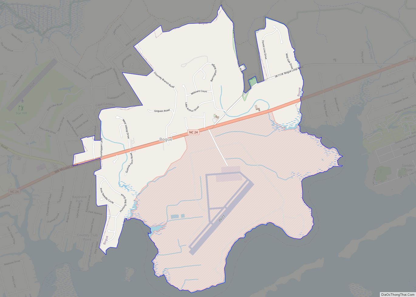
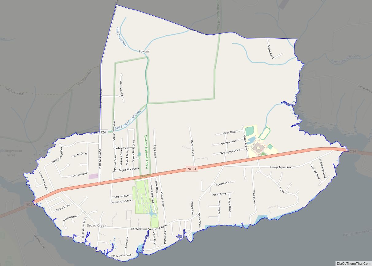
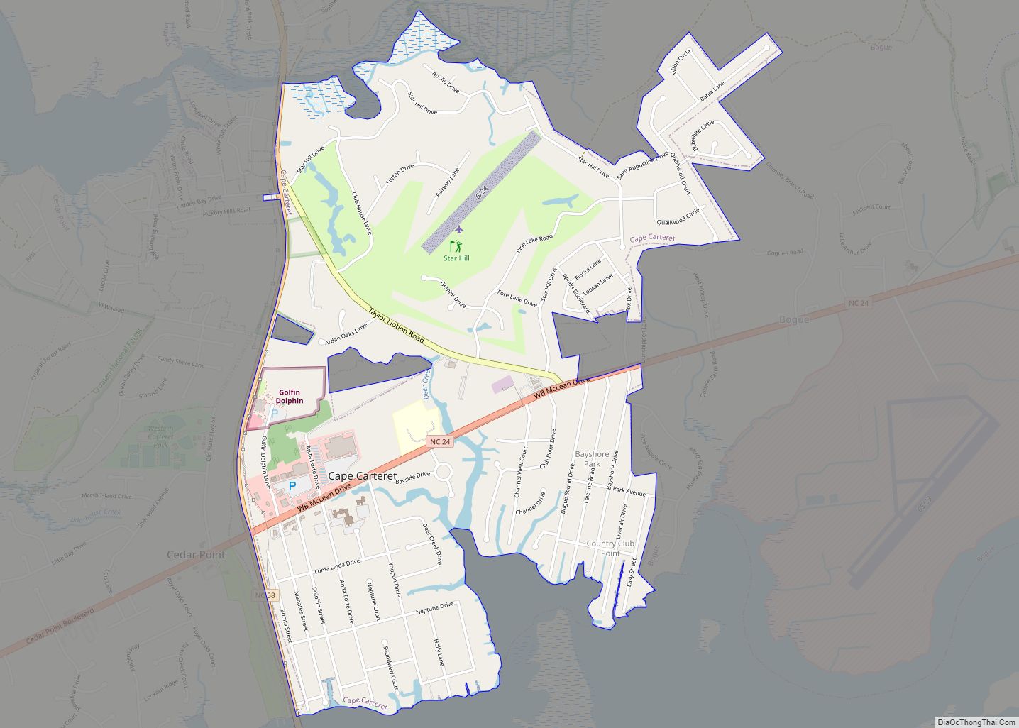
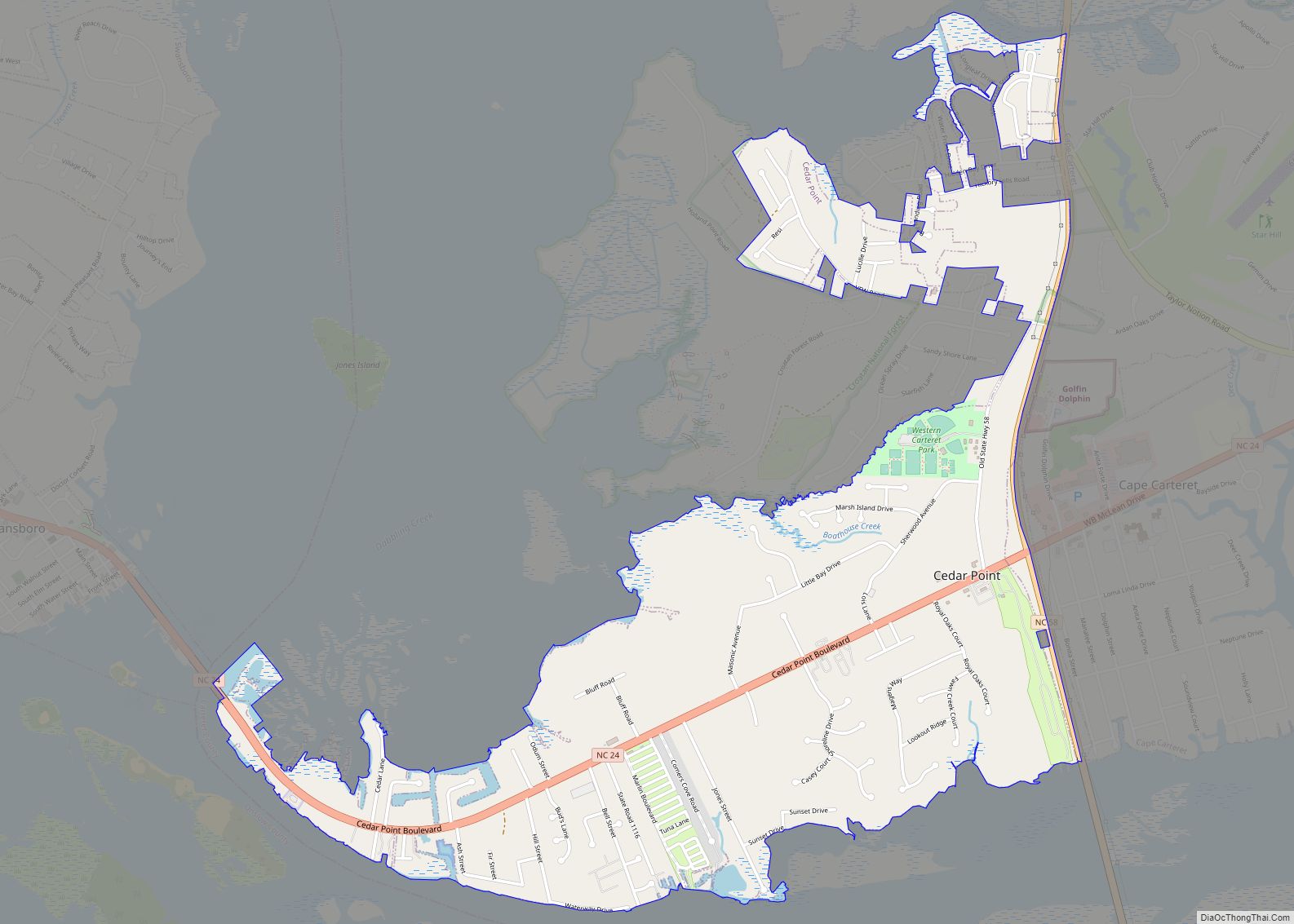
Online Interactive Map
Click on ![]() to view map in "full screen" mode.
to view map in "full screen" mode.
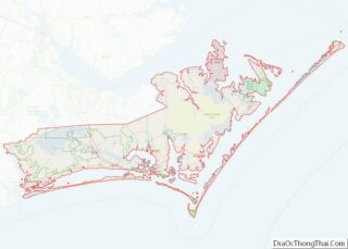
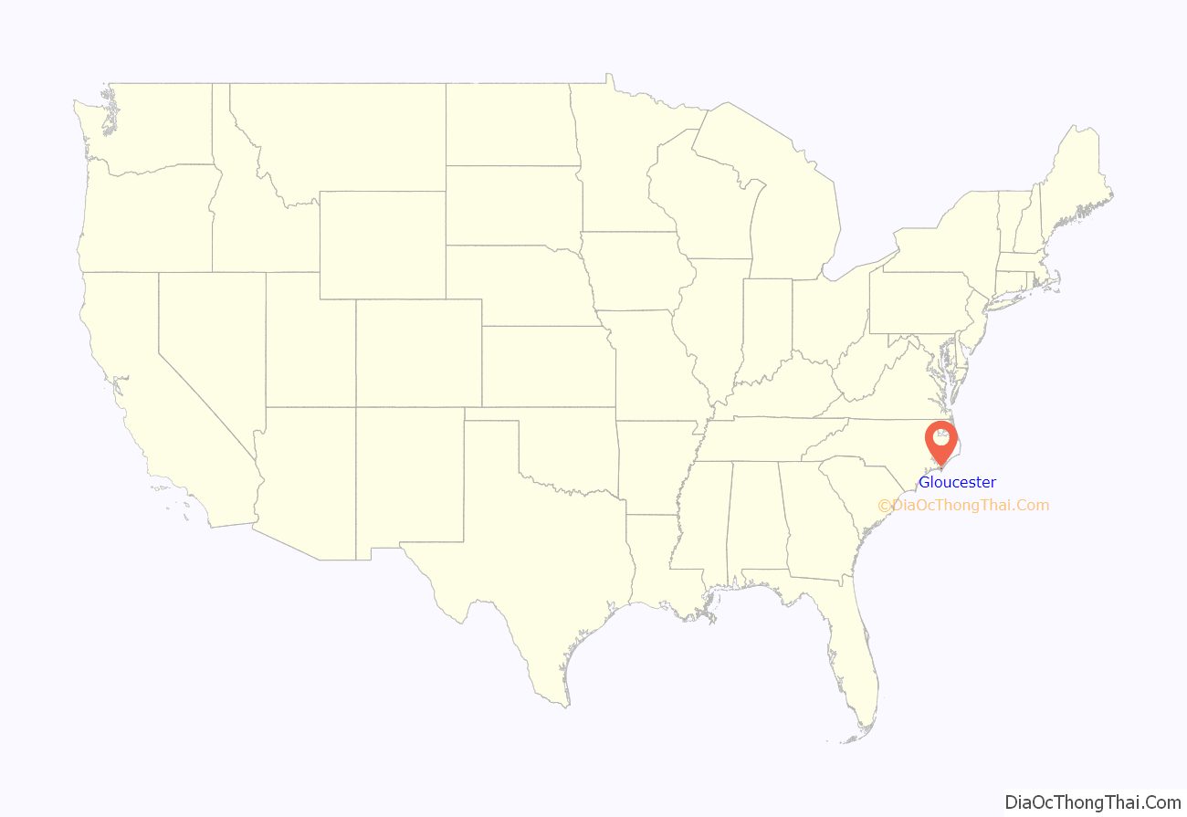
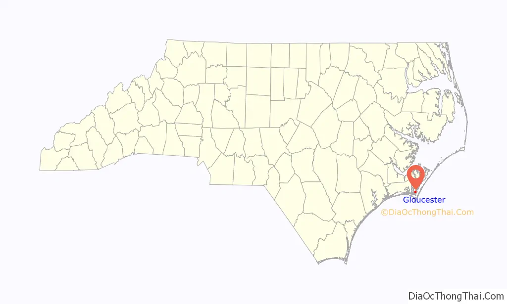
Gloucester location map. Where is Gloucester CDP?
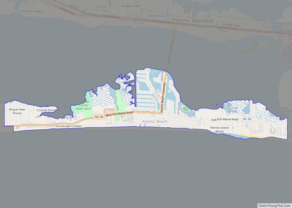
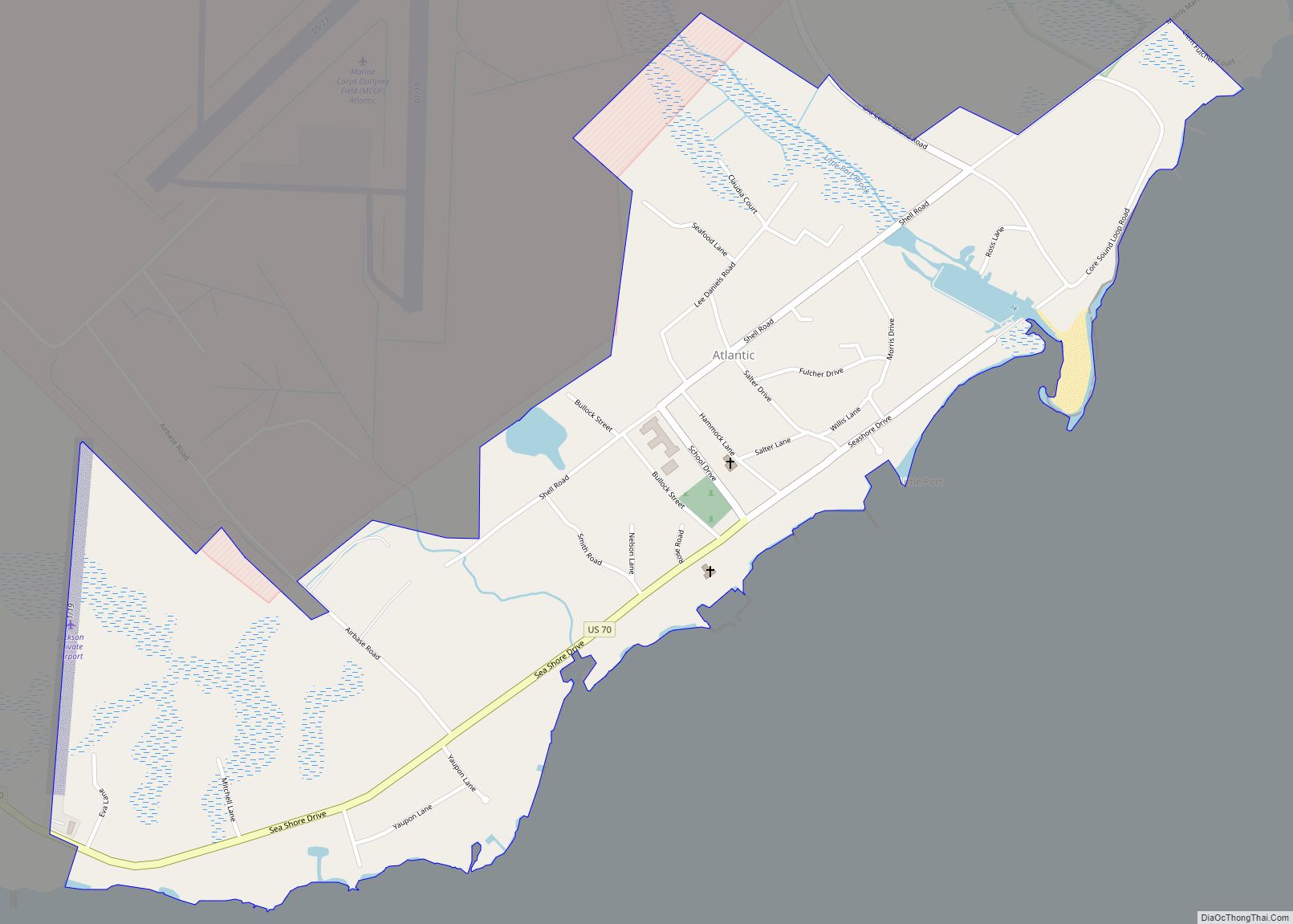
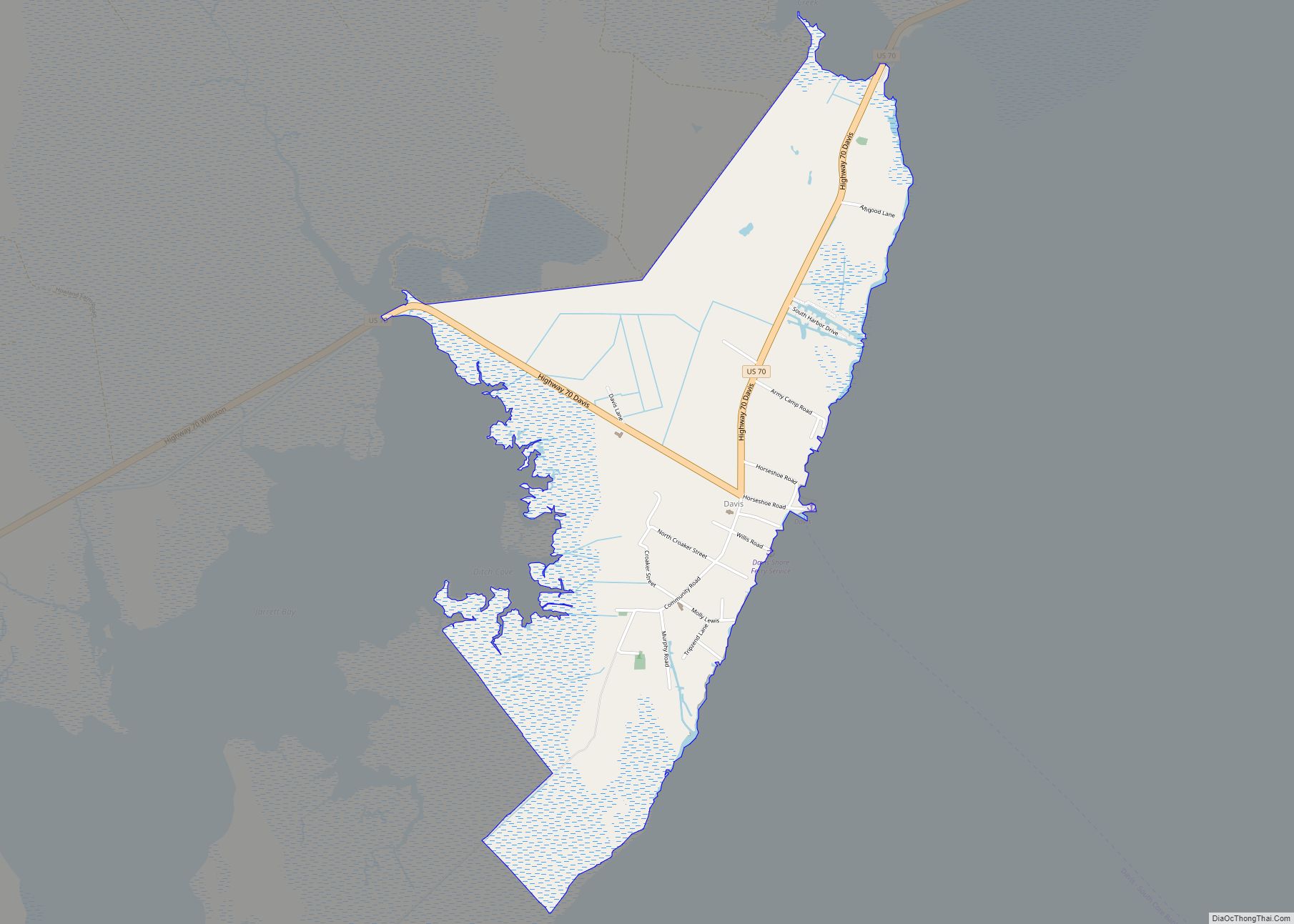
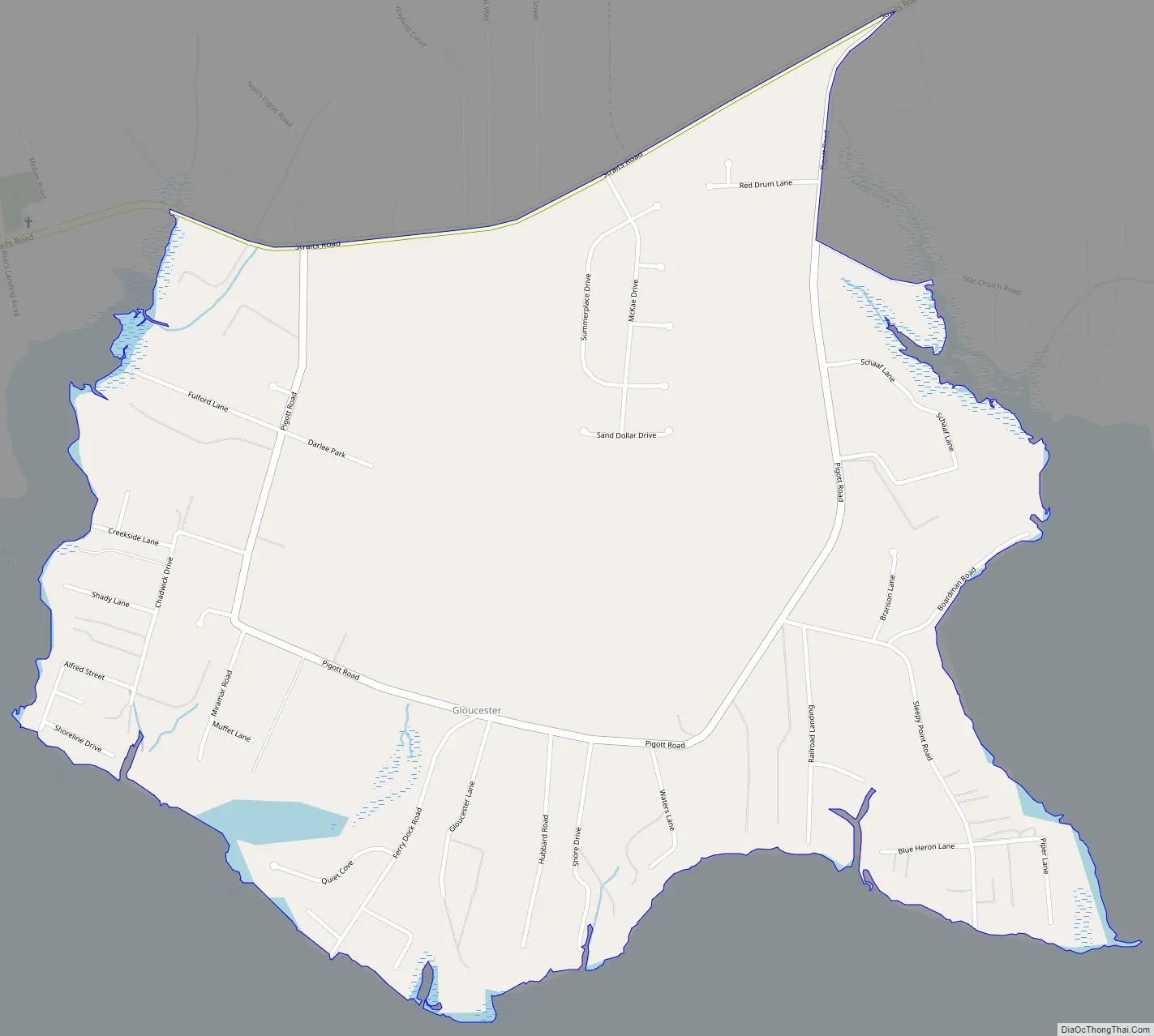
Gloucester Road Map
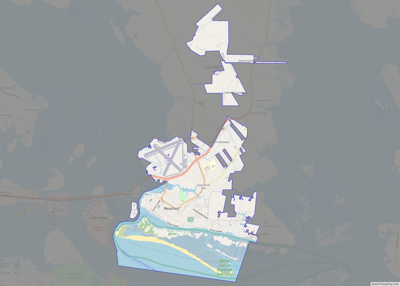
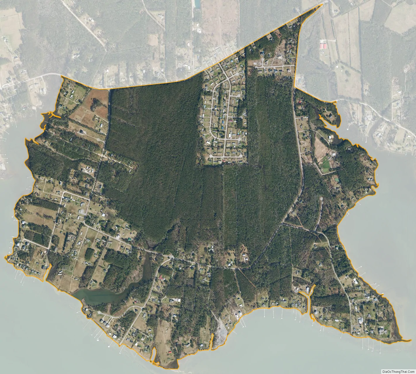
Gloucester city Satellite Map
Geography
Gloucester is located just east of the center of Carteret County, on the northern side of The Straits, a tidal channel connecting Core Sound to the east with the North River to the west. The Gloucester CDP is bounded by Whitehurst Creek to the west and Sleepy Creek to the east, both tidal inlets from The Straits. The community is 6 miles (10 km) east of the town of Beaufort by water and 15 miles (24 km) by road.
The Gloucester CDP has a total area of 1.5 square miles (3.8 km), of which 0.02 square miles (0.04 km), or 0.98%, is water.
See also
Map of North Carolina State and its subdivision:- Alamance
- Alexander
- Alleghany
- Anson
- Ashe
- Avery
- Beaufort
- Bertie
- Bladen
- Brunswick
- Buncombe
- Burke
- Cabarrus
- Caldwell
- Camden
- Carteret
- Caswell
- Catawba
- Chatham
- Cherokee
- Chowan
- Clay
- Cleveland
- Columbus
- Craven
- Cumberland
- Currituck
- Dare
- Davidson
- Davie
- Duplin
- Durham
- Edgecombe
- Forsyth
- Franklin
- Gaston
- Gates
- Graham
- Granville
- Greene
- Guilford
- Halifax
- Harnett
- Haywood
- Henderson
- Hertford
- Hoke
- Hyde
- Iredell
- Jackson
- Johnston
- Jones
- Lee
- Lenoir
- Lincoln
- Macon
- Madison
- Martin
- McDowell
- Mecklenburg
- Mitchell
- Montgomery
- Moore
- Nash
- New Hanover
- Northampton
- Onslow
- Orange
- Pamlico
- Pasquotank
- Pender
- Perquimans
- Person
- Pitt
- Polk
- Randolph
- Richmond
- Robeson
- Rockingham
- Rowan
- Rutherford
- Sampson
- Scotland
- Stanly
- Stokes
- Surry
- Swain
- Transylvania
- Tyrrell
- Union
- Vance
- Wake
- Warren
- Washington
- Watauga
- Wayne
- Wilkes
- Wilson
- Yadkin
- Yancey
- Alabama
- Alaska
- Arizona
- Arkansas
- California
- Colorado
- Connecticut
- Delaware
- District of Columbia
- Florida
- Georgia
- Hawaii
- Idaho
- Illinois
- Indiana
- Iowa
- Kansas
- Kentucky
- Louisiana
- Maine
- Maryland
- Massachusetts
- Michigan
- Minnesota
- Mississippi
- Missouri
- Montana
- Nebraska
- Nevada
- New Hampshire
- New Jersey
- New Mexico
- New York
- North Carolina
- North Dakota
- Ohio
- Oklahoma
- Oregon
- Pennsylvania
- Rhode Island
- South Carolina
- South Dakota
- Tennessee
- Texas
- Utah
- Vermont
- Virginia
- Washington
- West Virginia
- Wisconsin
- Wyoming