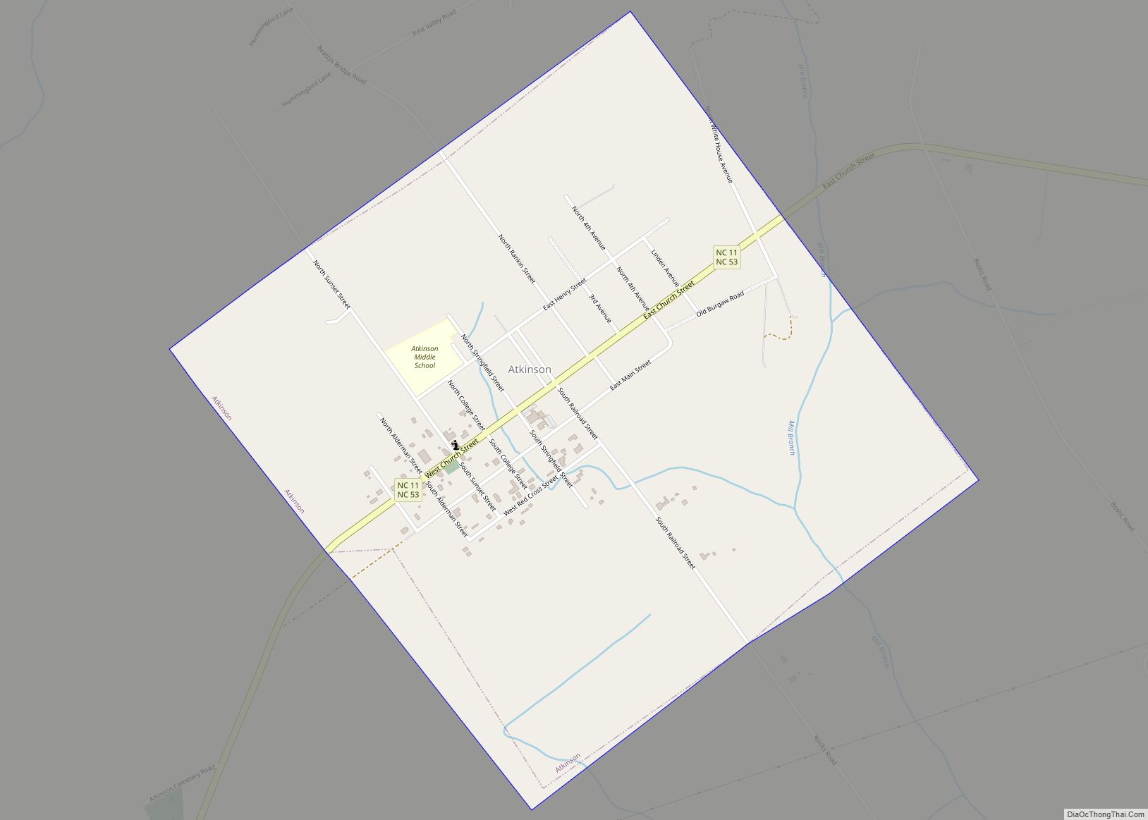
Map of Ayden town

Map of Ayden town

Ayden is a town in Pitt County, North Carolina, United States. The population was 4,977 at the 2020 census. The town is a part of the Greenville Metropolitan Area of North Carolina’s Inner Banks region. Ayden town overview: Name: Ayden town LSAD Code: 43 LSAD Description: town (suffix) State: North Carolina County: Pitt County Elevation: … Read more

Map of Avon CDP, North Carolina

Map of Avon CDP, North Carolina

Avon is an unincorporated community and census-designated place (CDP) in Dare County in the U.S. state of North Carolina. As of the 2010 census, it had a permanent population of 776. Avon CDP overview: Name: Avon CDP LSAD Code: 57 LSAD Description: CDP (suffix) State: North Carolina County: Dare County Elevation: 20 ft (6 m) Total Area: … Read more

Map of Bayboro town

Map of Bayboro town

Bayboro is a town in Pamlico County, North Carolina, United States. The population was 1,263 at the 2010 census. It is the county seat of Pamlico County. Bayboro is part of the New Bern, North Carolina Metropolitan Statistical Area. Bayboro received the most rain of any American town during Hurricane Irene in 2011, at 15.74 … Read more

Map of Bath town, North Carolina

Map of Bath town, North Carolina

Bath is a town in Beaufort County, North Carolina, United States. Located on the Pamlico River, it developed a trade in naval stores, furs, and tobacco. The population was 249 as of 2010. North Carolina’s first town and port of entry, it was chartered on March 8, 1705. Historically, Bath is often counted as North … Read more

Map of Barker Ten Mile CDP

Map of Barker Ten Mile CDP

Barker Ten Mile is a census-designated place (CDP) in Robeson County, North Carolina, United States. The population was 952 at the 2010 census. The land surrounding Barker Ten Mile includes multiple areas of local historic significance, the first being “The Meadows,” which is the familial hunting grounds and horse pastures of the Goodes, French, McMillan, … Read more

Map of Barker Heights CDP

Map of Barker Heights CDP

Barker Heights is an unincorporated area and census-designated place (CDP) in Henderson County, North Carolina, United States. The population was 1,254 at the 2010 census. It is part of the Asheville Metropolitan Statistical Area. Barker Heights CDP overview: Name: Barker Heights CDP LSAD Code: 57 LSAD Description: CDP (suffix) State: North Carolina County: Henderson County … Read more

Map of Banner Elk town

Map of Banner Elk town

Banner Elk is a town in Avery County, North Carolina, United States. The population was 1,028 at the 2010 census. Banner Elk is home to Lees–McRae College. Banner Elk town overview: Name: Banner Elk town LSAD Code: 43 LSAD Description: town (suffix) State: North Carolina County: Avery County Founded: 1848 Incorporated: 1911 Elevation: 3,701 ft (1,128 m) … Read more

Map of Balfour CDP

Map of Balfour CDP, North Carolina

Balfour is an unincorporated community and census-designated place (CDP) in Henderson County, North Carolina, United States. The population was 1,187 at the 2010 census. It is part of the Asheville Metropolitan Statistical Area. Balfour CDP overview: Name: Balfour CDP LSAD Code: 57 LSAD Description: CDP (suffix) State: North Carolina County: Henderson County Elevation: 2,116 ft (645 m) … Read more

Map of Bald Head Island village

Map of Bald Head Island village

Bald Head Island, historically Smith Island, is a village located on the east side of the Cape Fear River in Brunswick County, North Carolina, United States. Compared to the nearby city of Wilmington to the north, the village of Bald Head Island is small and somewhat remote. It is accessible by ferry from the nearby … Read more

Map of Bakersville town, North Carolina

Map of Bakersville town, North Carolina

Bakersville is a town in Mitchell County, North Carolina, United States. The population was 464 at the 2010 census. It is the county seat of Mitchell County. Bakersville town overview: Name: Bakersville town LSAD Code: 43 LSAD Description: town (suffix) State: North Carolina County: Mitchell County Incorporated: 1868 Elevation: 2,470 ft (753 m) Total Area: 0.76 sq mi (1.97 km²) … Read more

Map of Bailey town

Map of Bailey town, North Carolina

Bailey is a town in Nash County, North Carolina, United States. It is part of the Rocky Mount, North Carolina Metropolitan Statistical Area. The population was 566 at the 2020 census. Bailey town overview: Name: Bailey town LSAD Code: 43 LSAD Description: town (suffix) State: North Carolina County: Nash County Elevation: 220 ft (70 m) Total Area: … Read more

Map of Badin town

Map of Badin town

Badin is a town located in Stanly County, North Carolina, United States. At the 2010 census, the town had a total population of 1,974. Badin town overview: Name: Badin town LSAD Code: 43 LSAD Description: town (suffix) State: North Carolina County: Stanly County Elevation: 515 ft (157 m) Total Area: 1.81 sq mi (4.70 km²) Land Area: 1.81 sq mi (4.70 km²) Water … Read more