Bakersville is a town in Mitchell County, North Carolina, United States. The population was 464 at the 2010 census. It is the county seat of Mitchell County.
| Name: | Bakersville town |
|---|---|
| LSAD Code: | 43 |
| LSAD Description: | town (suffix) |
| State: | North Carolina |
| County: | Mitchell County |
| Incorporated: | 1868 |
| Elevation: | 2,470 ft (753 m) |
| Total Area: | 0.76 sq mi (1.97 km²) |
| Land Area: | 0.76 sq mi (1.97 km²) |
| Water Area: | 0.00 sq mi (0.00 km²) |
| Total Population: | 450 |
| Population Density: | 592.11/sq mi (228.58/km²) |
| ZIP code: | 28705 |
| Area code: | 828 |
| FIPS code: | 3703100 |
| GNISfeature ID: | 1018913 |
| Website: | www.bakersville.com |
Online Interactive Map
Click on ![]() to view map in "full screen" mode.
to view map in "full screen" mode.
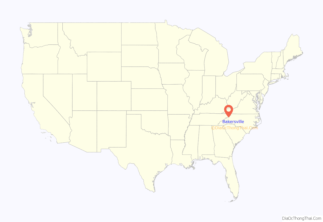
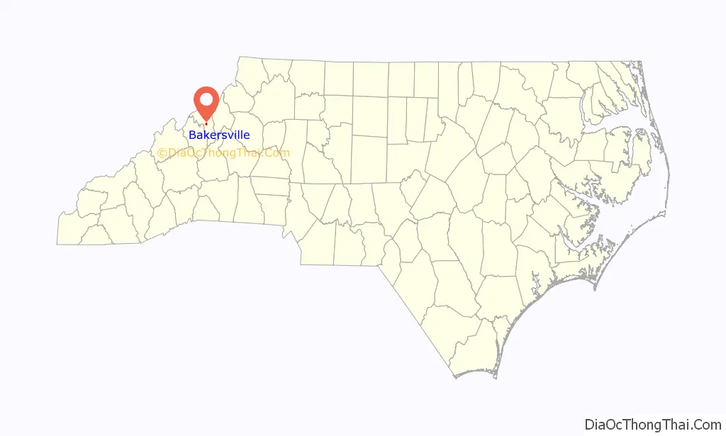
Bakersville location map. Where is Bakersville town?
History
In prehistoric times, local mica deposits were extensively mined by Native Americans. The first Euro-American settlers arrived in the area after the American Revolution, establishing scattered homesteads. The town of Bakersville dates from the 1850s and was named for David Baker, a Revolutionary War soldier and one of the first to live in the area around 1790 and described as “a large land owner, innkeeper, merchant and political leader until his death in 1838. Some of David’s sons and daughters remained and were equally influential in the area for many years after David’s death. ” Situated on the main route leading over Roan Mountain and westward into Tennessee, the town developed slowly. Traveler Frederick Law Olmsted passed through Bakersville in the early 1850s and noted that the “town” consisted of only a couple of cabins within a quarter-mile radius. In 1861, a post office was established and named Davis after Jefferson Davis. Following the Civil War, the county seat of newly created Mitchell County was relocated to the town that had been renamed Bakersville by the Republican state government, leading to the construction of a courthouse and a growth in population. In the 1870s, as mica became commercially valuable, the rich local deposits of the mineral caused a temporary economic boom. Bakersville is also home to the North Carolina Rhododendron Festival. The pageant attracts visitors from across the state and nation, most notably Richard Nixon in 1968.
Historian and sociologist James W. Loewen has identified Bakersville as one of several possible sundown towns in North Carolina.
The Mitchell County Courthouse was added to the National Register of Historic Places in 1979.
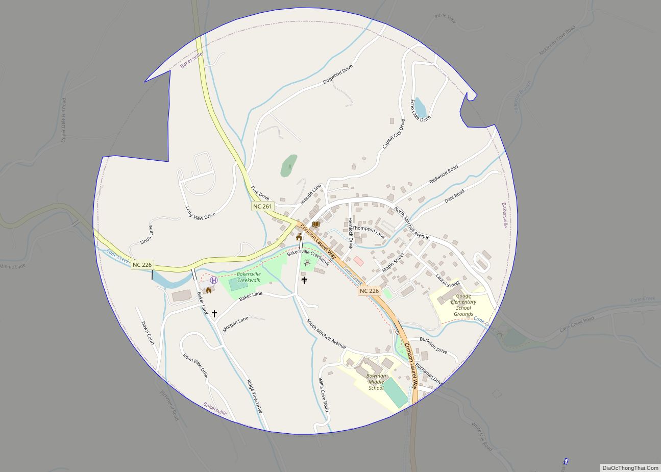
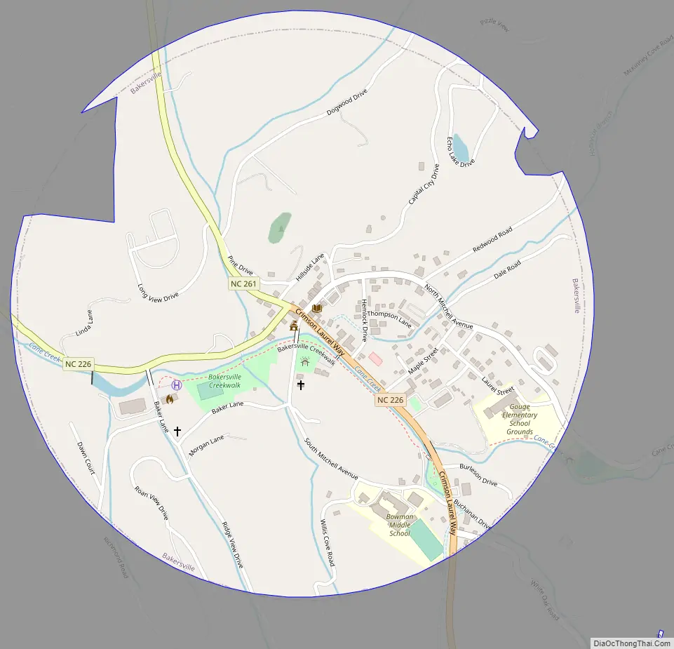
Bakersville Road Map
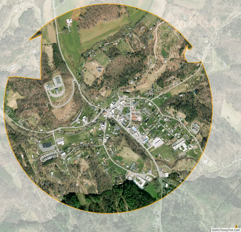
Bakersville city Satellite Map
Geography
Bakersville is located at 36°0′50″N 82°9′21″W / 36.01389°N 82.15583°W / 36.01389; -82.15583 (36.014002, -82.155695).
According to the United States Census Bureau, the town has a total area of 0.8 square miles (2.1 km), all land.
See also
Map of North Carolina State and its subdivision:- Alamance
- Alexander
- Alleghany
- Anson
- Ashe
- Avery
- Beaufort
- Bertie
- Bladen
- Brunswick
- Buncombe
- Burke
- Cabarrus
- Caldwell
- Camden
- Carteret
- Caswell
- Catawba
- Chatham
- Cherokee
- Chowan
- Clay
- Cleveland
- Columbus
- Craven
- Cumberland
- Currituck
- Dare
- Davidson
- Davie
- Duplin
- Durham
- Edgecombe
- Forsyth
- Franklin
- Gaston
- Gates
- Graham
- Granville
- Greene
- Guilford
- Halifax
- Harnett
- Haywood
- Henderson
- Hertford
- Hoke
- Hyde
- Iredell
- Jackson
- Johnston
- Jones
- Lee
- Lenoir
- Lincoln
- Macon
- Madison
- Martin
- McDowell
- Mecklenburg
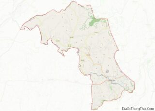
- Mitchell
- Montgomery
- Moore
- Nash
- New Hanover
- Northampton
- Onslow
- Orange
- Pamlico
- Pasquotank
- Pender
- Perquimans
- Person
- Pitt
- Polk
- Randolph
- Richmond
- Robeson
- Rockingham
- Rowan
- Rutherford
- Sampson
- Scotland
- Stanly
- Stokes
- Surry
- Swain
- Transylvania
- Tyrrell
- Union
- Vance
- Wake
- Warren
- Washington
- Watauga
- Wayne
- Wilkes
- Wilson
- Yadkin
- Yancey
- Alabama
- Alaska
- Arizona
- Arkansas
- California
- Colorado
- Connecticut
- Delaware
- District of Columbia
- Florida
- Georgia
- Hawaii
- Idaho
- Illinois
- Indiana
- Iowa
- Kansas
- Kentucky
- Louisiana
- Maine
- Maryland
- Massachusetts
- Michigan
- Minnesota
- Mississippi
- Missouri
- Montana
- Nebraska
- Nevada
- New Hampshire
- New Jersey
- New Mexico
- New York
- North Carolina
- North Dakota
- Ohio
- Oklahoma
- Oregon
- Pennsylvania
- Rhode Island
- South Carolina
- South Dakota
- Tennessee
- Texas
- Utah
- Vermont
- Virginia
- Washington
- West Virginia
- Wisconsin
- Wyoming