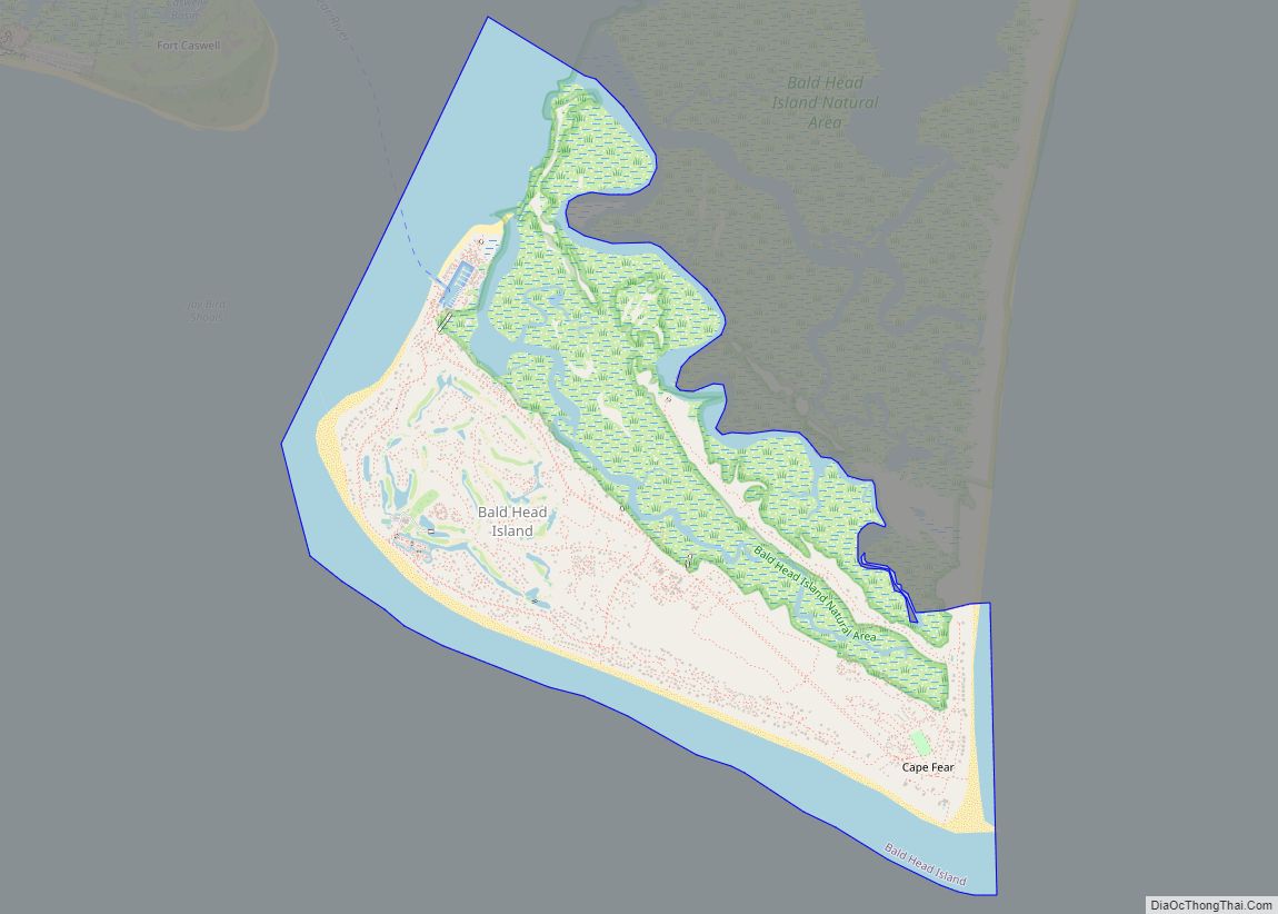
Bald Head Island, historically Smith Island, is a village located on the east side of the Cape Fear River in Brunswick County, North Carolina, United States. Compared to the nearby city of Wilmington to the north, the village of Bald Head Island is small and somewhat remote. It is accessible by ferry from the nearby town of Southport and by four-wheel drive vehicle along the beach strand from Fort Fisher to the north. Only government officials are allowed to drive the beach strand route. There are few cars on the island; instead, residents drive modified electric golf carts. Bald Head Island is nationally recognized for its sea turtle nesting activity.
The population of the village was 158 at the 2010 census. The village is part of the Wilmington metropolitan area.
The village is revered for its picturesque nature and is a popular location for vacationing. It was the primary filming location for the film Weekend at Bernie’s in 1989 as well as a major location in The Butcher’s Wife in 1991. “Old Baldy”, its out-of-service lighthouse built in 1817, is the oldest still standing in the state.
| Name: | Bald Head Island village |
|---|---|
| LSAD Code: | 47 |
| LSAD Description: | village (suffix) |
| State: | North Carolina |
| County: | Brunswick County |
| Founded: | 1817 |
| Elevation: | 5 ft (2 m) |
| Total Area: | 5.86 sq mi (15.18 km²) |
| Land Area: | 3.91 sq mi (10.14 km²) |
| Water Area: | 1.95 sq mi (5.04 km²) |
| Total Population: | 268 |
| Population Density: | 68.47/sq mi (26.43/km²) |
| ZIP code: | 28461 |
| FIPS code: | 3703150 |
| GNISfeature ID: | 1027622 |
| Website: | www.villagebhi.org |
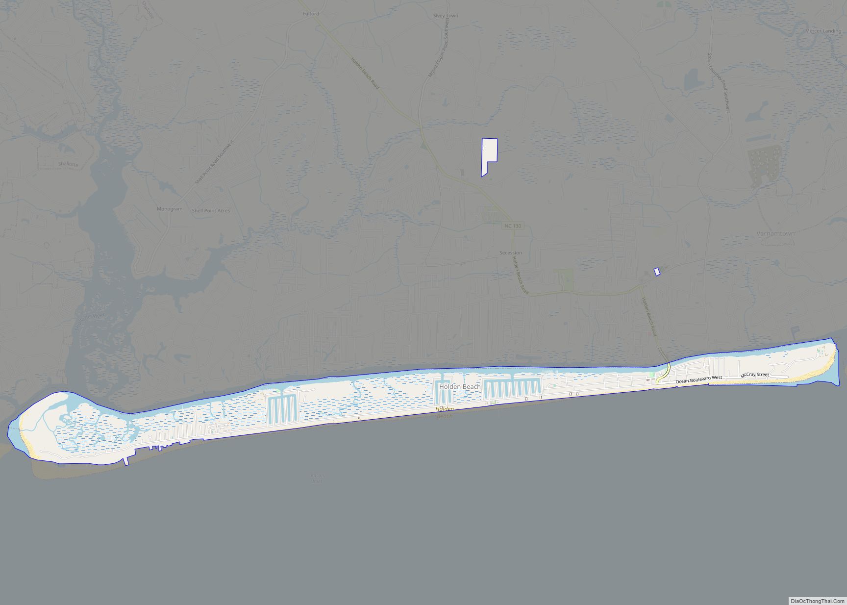
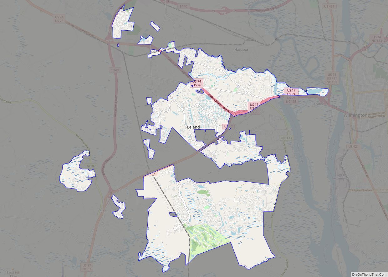
Online Interactive Map
Click on ![]() to view map in "full screen" mode.
to view map in "full screen" mode.
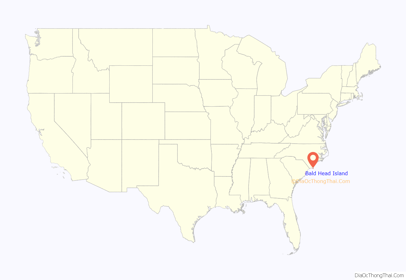
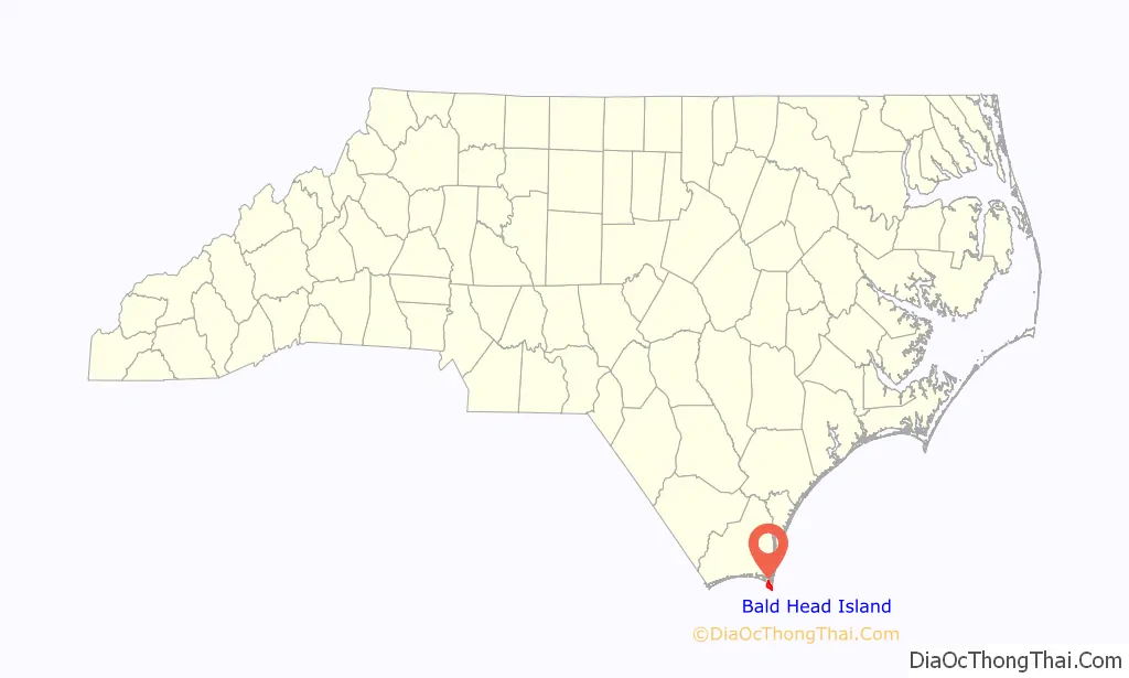
Bald Head Island location map. Where is Bald Head Island village?
History
Bald Head Island is tiny but has played a part in two American wars. During the American Revolution, it was home to Fort George, a British fort. During the Civil War, the same redoubts served as Fort Holmes, a Confederate base of importance to shipping and smuggling.
Located at the tip of Cape Fear and residing at the convergence of the Cape Fear River and Atlantic Gulf Stream, the land mass of Bald Head Island ends, trailing off into 30 miles (48 km) of treacherous sand bars known as Frying Pan Shoals. In this area, large sand bars seasonally emerge from and subsequently retreat into the sea. These topographical transformations are often as rapid as they are drastic. The consensus view is that Bald Head Island emerged from one such sandbar, stabilized by a succession of plant life, leading to a permanent land mass.
Author David Stick surmises that Native Americans used Bald Head Island in much the same way that it is used now, as a seasonal retreat. Bald Head Island’s creek estuaries and its abundance of shellfish were probably as attractive to Native American fishermen as they are to modern fishermen. Shellmounds found on Middle Island and Bluff Island indicate that Native Americans did visit the Smith Island complex, but disease and war killed off most of the Native American population, so it is difficult to know much about the original inhabitants.
Throughout the early European history of the Cape Fear region, Bald Head Island underwent several settlement attempts and went by many names. Unlike the specific landmarks which were renamed by each settler, the region was always known by the well-earned name, “Cape Fear”.
Though Spanish sailors probably frequented the island on their way to intercept the Gulf Stream off Cape Hatteras, Pedro de Quexos was the first documented explorer of the region in the 1520s, naming what is now the Santee River the “River Jordan.” Quexos’ sponsor, Lucas Vázquez de Ayllón, visited the region himself in 1526. When Ayllón lost a ship to the treacherous shoals he abandoned his exploration efforts.
Over one hundred years after Quexos, William Hilton initiated an expedition called the “Adventures about Cape Fayre” by English Puritan dissidents in the 1660s. The effort was abandoned due to difficulties farming the sandy barren soil. Hilton returned in 1667 with the support of backers from Barbados, the “Barbados Adventurers”, aboard a ship, the Adventure (now the name of one of the Bald Head Island ferries). His efforts were again foiled by barren soil.
In 1664, John Vassal founded “Charles Town” with the aid of Barbadian backers on the west bank of what is now the Cape Fear River (which Vassal named the “Charles River”). His efforts failed due to his agitation of the native population. He was further dissuaded when his efforts to become governor of the region, Clarendon County, were subverted and the title was given to John Yeamans. After the settlers abandoned Charles Town, Yeamans nearly lost his life when his boat sank in a maze of sand bars in the mouth of the Charles River. Instead of trying to revive the colony, Yeamans established Charles Town farther south in what is now Charleston, South Carolina.
Charleston rapidly became a center of economic importance in the colonies. Charleston businessmen often engaged in trade with Native Americans in the vicinity of Cape Fear, reaping such prosperity that they had to pay special duties. Duties created political conflicts which ultimately led to the colony of the Carolinas being divided in 1710 along the Cape Fear River (named the “Clarendon River” by then). In 1713, to help establish the northern colony’s claim along the eastern bank, Thomas Smith, son of former Carolina governor Thomas Smith, Sr. was issued a land grant to what we now call Smith Island (called “Cape Island” at the time).
In 1776, Bald Head Island was briefly involved in the Revolutionary War after British Major General Henry Clinton and Lieutenant General Charles Cornwallis used the island as a staging area for their voyage to Charleston, South Carolina. The British left behind a small garrison of troops with a few naval vessels to help keep the port closed to Continental shipping. The garrison of about 30 troops, under the command of Captain John Linzee, created Fort George (after King George) on the southwestern corner of Bald Head Island. Continental Brig. General Robert Howe was stationed across the river in Fort Johnson. After watching the British carefully, the Continentals launched a raid of 150 men on September 6, led by Col. Polk, against Fort George. Polk’s men captured five British sailors but were forced to flee when the remaining 25 took cover and the British vessels moored just off-shore opened fire and initiated pursuit. Polk used local knowledge, fleeing through a maze of shallow creeks, and escaped with only minor casualties (1 killed, 1 wounded). By October, the British troops withdrew and Bald Head saw no further action during the Revolution.
In 1863, Confederate troops constructed a fort named Fort Holmes as part of a defensive system for the Cape Fear River Basin, although no major battles were fought in this region during the U.S. Civil War.
In 1913, the island was purchased by T.F. Boyd and renamed “Palmetto Island.” Boyd subsequently built a beach boardwalk, pavilion and an eight-room hotel, before he lost the island in foreclosure due to failure to pay back taxes during the Great Depression.
In 1938, Frank Sherrill bought the island with the intention to develop it further. In 1970, Sherrill sold the island to the Cape Fear Corporation, which deeded three fourths of the island to the state of North Carolina for conservation. Since 1983, Bald Head Island Limited has been the named developer.
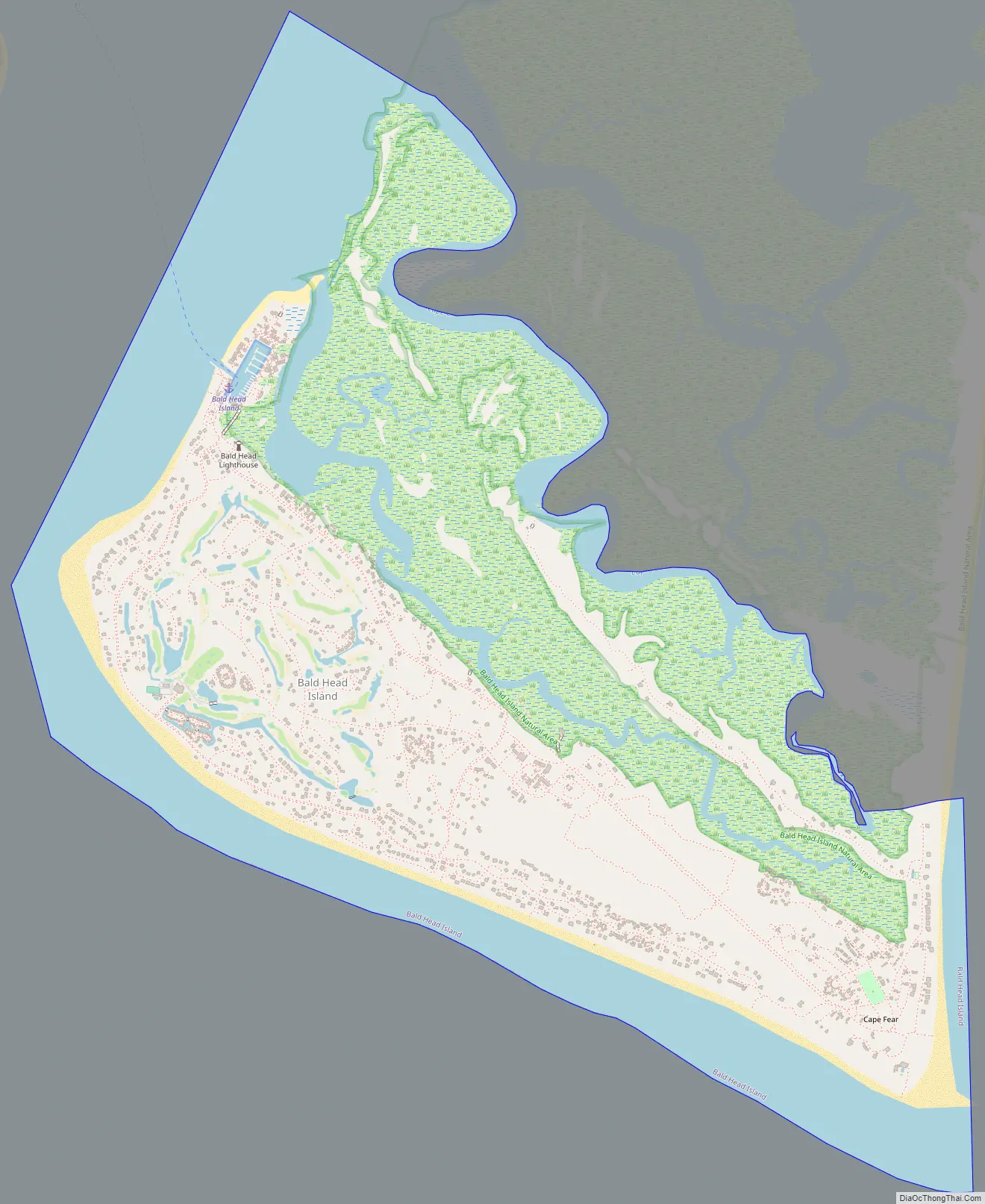
Bald Head Island Road Map
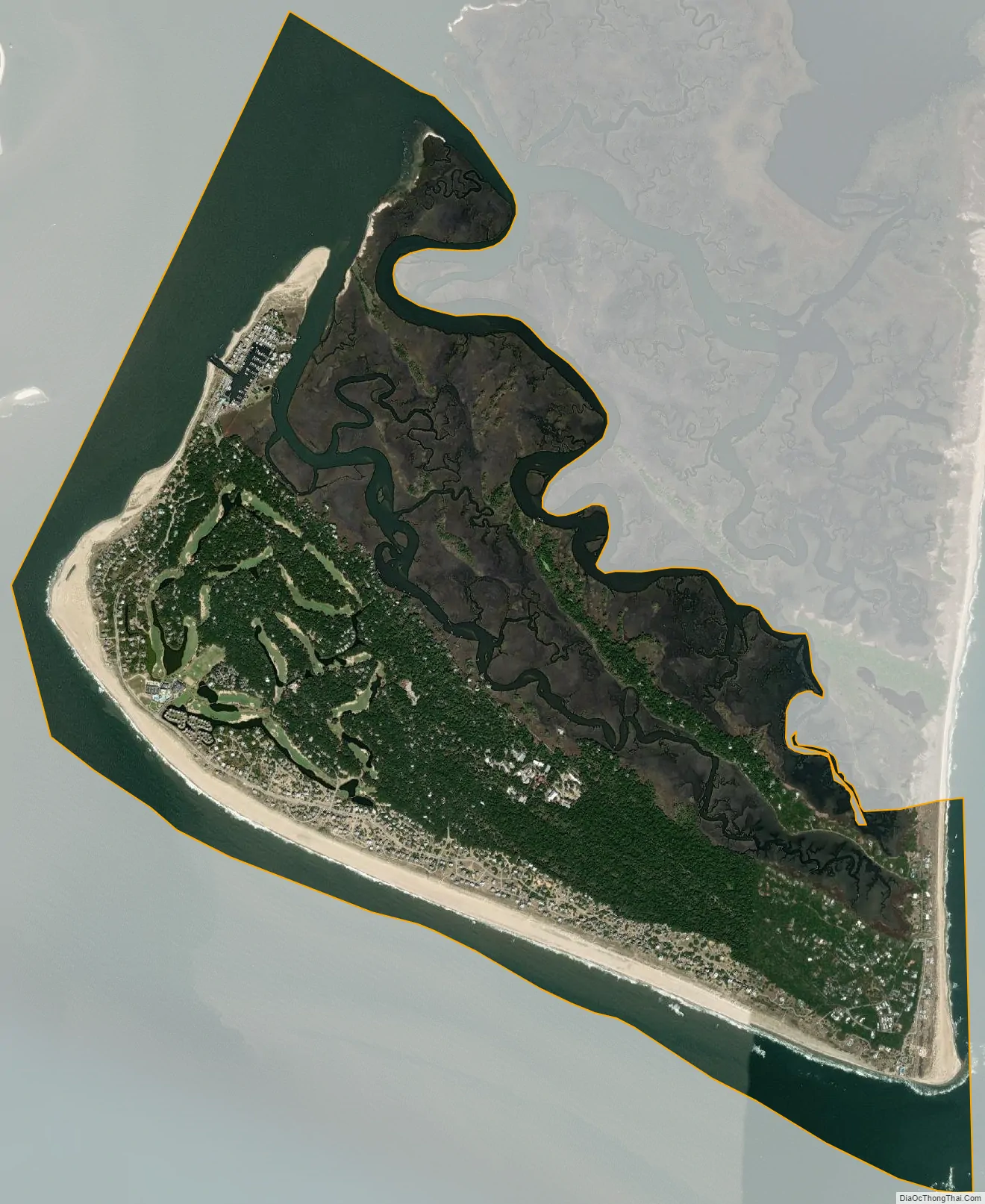
Bald Head Island city Satellite Map
Geography
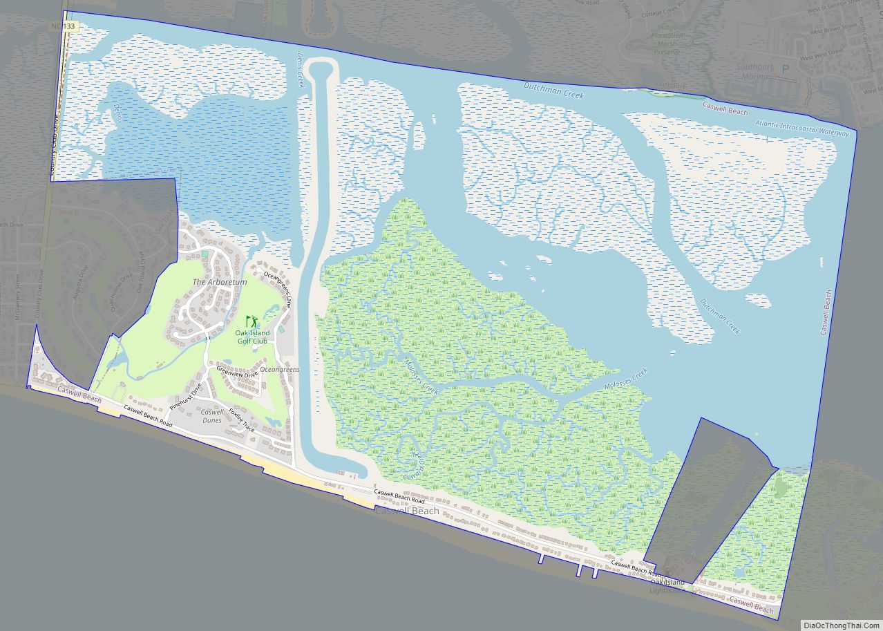
Bald Head Island is located in southeastern Brunswick County at 33°51′43″N 77°59′24″W / 33.86194°N 77.99000°W / 33.86194; -77.99000 (33.861876, -77.990138). It is the southernmost settlement in the state of North Carolina.
According to the United States Census Bureau, the village has a total area of 5.8 square miles (14.9 km), of which 3.9 square miles (10.0 km) is land and 1.9 square miles (4.9 km) (33.01%) is water.
There are three beaches on the island, and the northern side consists of marsh.
See also
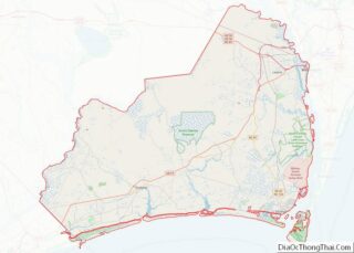
Map of North Carolina State and its subdivision:- Alamance
- Alexander
- Alleghany
- Anson
- Ashe
- Avery
- Beaufort
- Bertie
- Bladen
- Brunswick
- Buncombe
- Burke
- Cabarrus
- Caldwell
- Camden
- Carteret
- Caswell
- Catawba
- Chatham
- Cherokee
- Chowan
- Clay
- Cleveland
- Columbus
- Craven
- Cumberland
- Currituck
- Dare
- Davidson
- Davie
- Duplin
- Durham
- Edgecombe
- Forsyth
- Franklin
- Gaston
- Gates
- Graham
- Granville
- Greene
- Guilford
- Halifax
- Harnett
- Haywood
- Henderson
- Hertford
- Hoke
- Hyde
- Iredell
- Jackson
- Johnston
- Jones
- Lee
- Lenoir
- Lincoln
- Macon
- Madison
- Martin
- McDowell
- Mecklenburg
- Mitchell
- Montgomery
- Moore
- Nash
- New Hanover
- Northampton
- Onslow
- Orange
- Pamlico
- Pasquotank
- Pender
- Perquimans
- Person
- Pitt
- Polk
- Randolph
- Richmond
- Robeson
- Rockingham
- Rowan
- Rutherford
- Sampson
- Scotland
- Stanly
- Stokes
- Surry
- Swain
- Transylvania
- Tyrrell
- Union
- Vance
- Wake
- Warren
- Washington
- Watauga
- Wayne
- Wilkes
- Wilson
- Yadkin
- Yancey
- Alabama
- Alaska
- Arizona
- Arkansas
- California
- Colorado
- Connecticut
- Delaware
- District of Columbia
- Florida
- Georgia
- Hawaii
- Idaho
- Illinois
- Indiana
- Iowa
- Kansas
- Kentucky
- Louisiana
- Maine
- Maryland
- Massachusetts
- Michigan
- Minnesota
- Mississippi
- Missouri
- Montana
- Nebraska
- Nevada
- New Hampshire
- New Jersey
- New Mexico
- New York
- North Carolina
- North Dakota
- Ohio
- Oklahoma
- Oregon
- Pennsylvania
- Rhode Island
- South Carolina
- South Dakota
- Tennessee
- Texas
- Utah
- Vermont
- Virginia
- Washington
- West Virginia
- Wisconsin
- Wyoming