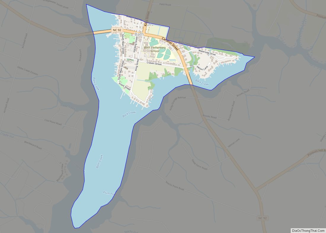
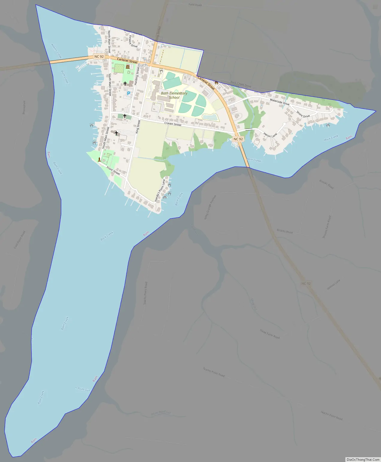
Bath is a town in Beaufort County, North Carolina, United States. Located on the Pamlico River, it developed a trade in naval stores, furs, and tobacco. The population was 249 as of 2010. North Carolina’s first town and port of entry, it was chartered on March 8, 1705.
Historically, Bath is often counted as North Carolina’s first capital, as it was nominally so designated in 1712, when the Province of North Carolina was separated from the Province of Carolina and granted its own governor, though no permanent government institutions were located there. The capital was officially moved to Edenton in 1722, but the meetings of the General Assembly would still periodically occur in Bath in the 18th century. Bath was the site of Cary’s Rebellion in 1711, and later served as one of many bases for notorious pirate Blackbeard. Bath waned in population, as its importance as both a port and government center were surpassed by the nearby city of New Bern. Bath population fluctuated through the 20th and 21st centuries, but it has never exceeded 400 residents.
| Name: | Bath town |
|---|---|
| LSAD Code: | 43 |
| LSAD Description: | town (suffix) |
| State: | North Carolina |
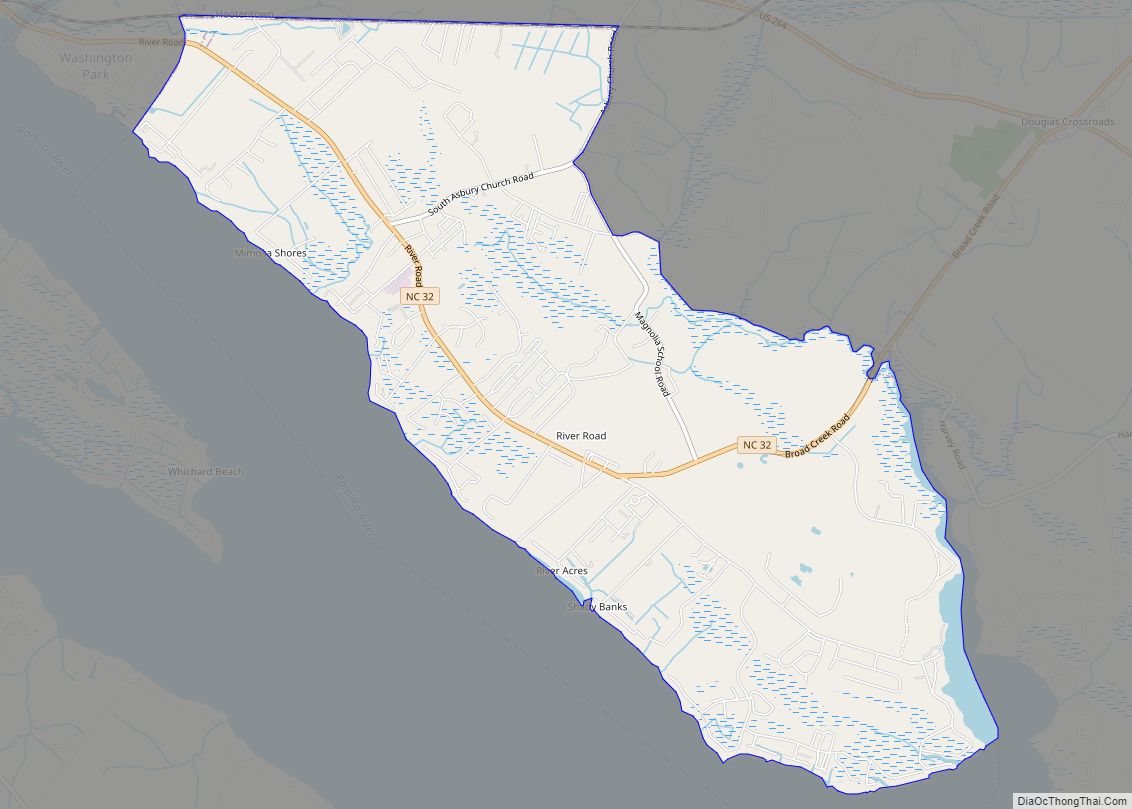
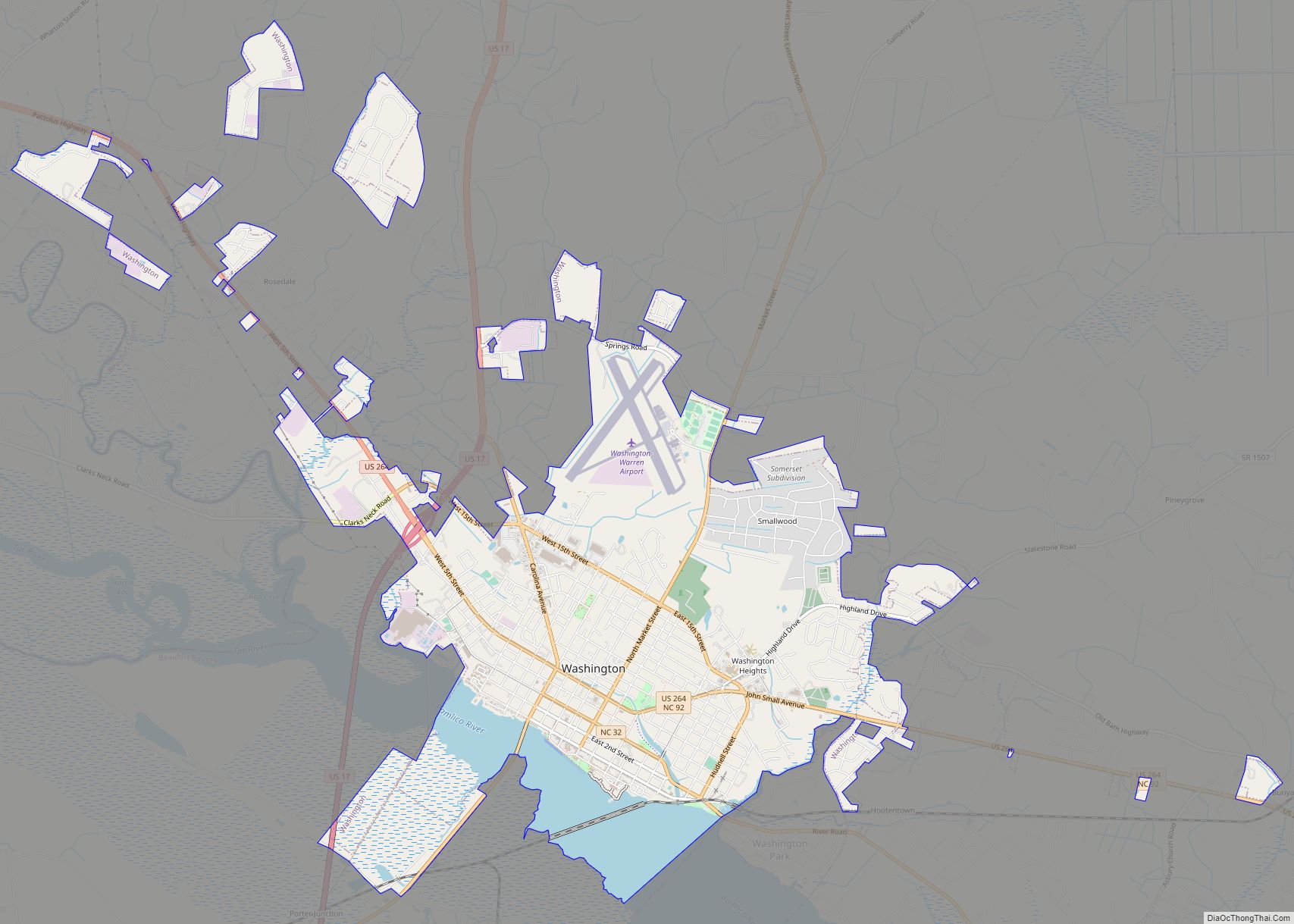
| County: | Beaufort County |
| Elevation: | 13 ft (4 m) |
| Total Area: | 0.92 sq mi (2.37 km²) |
| Land Area: | 0.36 sq mi (0.92 km²) |
| Water Area: | 0.56 sq mi (1.45 km²) |
| Total Population: | 245 |
| Population Density: | 686.27/sq mi (264.90/km²) |
| ZIP code: | 27808 |
| Area code: | 252 |
| FIPS code: | 3703840 |
| GNISfeature ID: | 1018985 |
| Website: | townofbathnc.embarqspace.com |
Online Interactive Map
Click on ![]() to view map in "full screen" mode.
to view map in "full screen" mode.
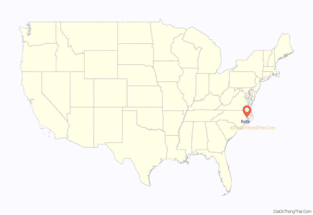
Bath location map. Where is Bath town?

History
European settlement near the Pamlico River in the 1690s led to the founding of Bath. The first settlers were French Huguenots, Protestants who went as refugees to Virginia; among those inhabitants was John Lawson, naturalist, explorer, and town father.
In 1708, Bath consisted of 12 houses and about 50 people. Early Bath was disturbed by political rivalries, epidemics, Indian wars (the Tuscarora War), and piracy. Residents suffered yellow fever, along with a severe drought in 1711. A war between the early settlers and the powerful Tuscarora Indians arose following the fever and drought, as the American Indians tried to push out the peoples encroaching on their territory. They attacked Bath, as well as plantations along the rivers, but by 1715 were defeated by a coalition of colonial settlers from the Carolinas and a much larger group of American Indians allied against them.
From 1705 until 1722, Bath was the first nominal capital of North Carolina; Edenton was designated next. The colony had no permanent institutions of government until their establishment of the new capital New Bern in 1743.
John Lawson was known as the town father. He documented the beauty and unique qualities of the town, laid out the town plan and helped secure its charter in 1705. On March 8, 1705, the tract of land was incorporated as the town of Bath by the General Assembly at a meeting at Capt. John Heckenfield’s home in Albemarle. Lawson had laid out the town into 71 lots measuring 1⁄2 acre (2,000 m) and 4 rd (20 m) (Poles) (about a tenth of an acre). The lots were located on the waterfront; as was typical, this was the main transportation route. The bordering road is now known as Main Street. Early merchants had easy access by the water.
Blackbeard the pirate was notorious in the southern colonies. He was a prominent figure by the time he settled briefly in Bath. He had conducted piracy off the East Coast and in the West Indies. He settled in Bath in 1718, gaining a royal pardon (these were offered by the Crown through colonial officials in an attempt to reduce piracy). He soon started piracy again, and was captured and executed later that year by Virginia forces. Bath was also the site of Cary’s Rebellion in 1711.
During the Great Awakening in America, the English Methodist evangelist, George Whitefield, visited the town four times between 1747 and 1762 to preach the gospel. On his fourth visit, the Anglican church reportedly refused to allow him to preach. T. Jensen Lacy in his book, Amazing North Carolina, writes:
Development moved past Bath and the town lies almost entirely within the same boundaries laid out by its primary founder, John Lawson. The major business cities of North Carolina have developed in the Piedmont area, stimulated by construction of railroads and nineteenth-century textile mills. Bath has remained a sleepy little village on the North Carolina coast. By contrast, population has continued to increase in the county, reaching nearly 50,000 in 2010. But the area is being developed for retirement and second homes, making it strong in a service economy, but with mostly low-paying jobs.
Bath Road Map
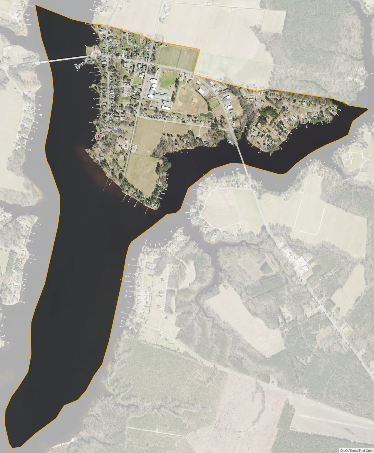
Bath city Satellite Map
Geography
Bath is located at 35°28′28″N 76°48′32″W / 35.47444°N 76.80889°W / 35.47444; -76.80889 (35.474437, −76.808863).
According to the United States Census Bureau, the town has a total area of 0.93 square miles (2.4 km), of which 0.35 square miles (0.9 km) is land and 0.54 square miles (1.4 km), or 60.99%, is water.
See also
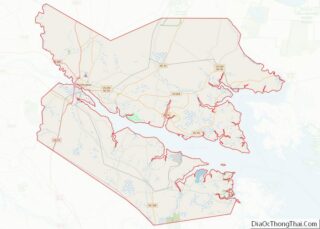
Map of North Carolina State and its subdivision:- Alamance
- Alexander
- Alleghany
- Anson
- Ashe
- Avery
- Beaufort
- Bertie
- Bladen
- Brunswick
- Buncombe
- Burke
- Cabarrus
- Caldwell
- Camden
- Carteret
- Caswell
- Catawba
- Chatham
- Cherokee
- Chowan
- Clay
- Cleveland
- Columbus
- Craven
- Cumberland
- Currituck
- Dare
- Davidson
- Davie
- Duplin
- Durham
- Edgecombe
- Forsyth
- Franklin
- Gaston
- Gates
- Graham
- Granville
- Greene
- Guilford
- Halifax
- Harnett
- Haywood
- Henderson
- Hertford
- Hoke
- Hyde
- Iredell
- Jackson
- Johnston
- Jones
- Lee
- Lenoir
- Lincoln
- Macon
- Madison
- Martin
- McDowell
- Mecklenburg
- Mitchell
- Montgomery
- Moore
- Nash
- New Hanover
- Northampton
- Onslow
- Orange
- Pamlico
- Pasquotank
- Pender
- Perquimans
- Person
- Pitt
- Polk
- Randolph
- Richmond
- Robeson
- Rockingham
- Rowan
- Rutherford
- Sampson
- Scotland
- Stanly
- Stokes
- Surry
- Swain
- Transylvania
- Tyrrell
- Union
- Vance
- Wake
- Warren
- Washington
- Watauga
- Wayne
- Wilkes
- Wilson
- Yadkin
- Yancey
- Alabama
- Alaska
- Arizona
- Arkansas
- California
- Colorado
- Connecticut
- Delaware
- District of Columbia
- Florida
- Georgia
- Hawaii
- Idaho
- Illinois
- Indiana
- Iowa
- Kansas
- Kentucky
- Louisiana
- Maine
- Maryland
- Massachusetts
- Michigan
- Minnesota
- Mississippi
- Missouri
- Montana
- Nebraska
- Nevada
- New Hampshire
- New Jersey
- New Mexico
- New York
- North Carolina
- North Dakota
- Ohio
- Oklahoma
- Oregon
- Pennsylvania
- Rhode Island
- South Carolina
- South Dakota
- Tennessee
- Texas
- Utah
- Vermont
- Virginia
- Washington
- West Virginia
- Wisconsin
- Wyoming