Map of Bethel town, North Carolina

Map of Bethel town, North Carolina

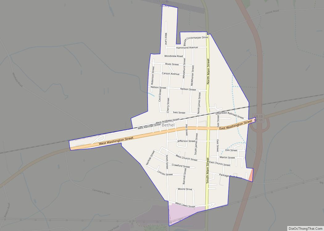
Bethel is a town in Pitt County, North Carolina, United States. The population was 1,577 at the 2010 Census. The town is a part of the Greenville Metropolitan Area located in North Carolina’s Inner Banks region. Confusingly, there are three other towns in the state named “Bethel.” One is between Edenton and Hertford in the … Read more

Map of Bethania town

Map of Bethania town

Bethania is the oldest municipality in Forsyth County, North Carolina, United States, and was most recently incorporated in 1995, upon the reactivation of the original 1838/1839 town charter. In 2009, Bethania celebrated the 250th anniversary of its establishment in 1759. As of the 2020 census, the town population was 341. Bethania town overview: Name: Bethania … Read more

Map of Bessemer City city

Map of Bessemer City

Bessemer City is a small suburban city in Gaston County, North Carolina, United States. The population is 5,340 (as of the 2010 census). The city is approximately 6 miles (10 km) northwest of Gastonia and 25 miles (40 km) west of Charlotte. It was settled in 1756 and founded in 1893. Bessemer City city overview: Name: Bessemer … Read more

Map of Bermuda Run town

Map of Bermuda Run town

Bermuda Run is a town in Davie County, North Carolina, United States. The population was 1,725 at the 2010 census. It was incorporated in 1999 as a fully gated residential community near country clubs and golf courses like the Bermuda Run Country Club, Oak Valley Golf Club, and Tanglewood Park. In 2000, the town annexed … Read more

Map of Bent Creek CDP

Map of Bent Creek CDP

Bent Creek is a census-designated place (CDP) in Buncombe County, North Carolina, United States. The population was 1,287 at the 2010 census. The Bent Creek area has mountain bike trails within the Pisgah National Forest. Bent Creek CDP overview: Name: Bent Creek CDP LSAD Code: 57 LSAD Description: CDP (suffix) State: North Carolina County: Buncombe … Read more

Map of Benson town, North Carolina

Map of Benson town, North Carolina

Benson is a town in Johnston County, North Carolina, United States, near the intersection of Interstates 95 and 40. Benson celebrates Mule Days on the fourth Saturday of September, a festival that attracts over 60,000 people each year. In 2010, the population was 3,311, up from 2,923 in 2000. Benson town overview: Name: Benson town … Read more

Map of Bennett CDP, North Carolina

Map of Bennett CDP, North Carolina

Bennett is a town in Chatham County, North Carolina, United States. Bennett CDP overview: Name: Bennett CDP LSAD Code: 57 LSAD Description: CDP (suffix) State: North Carolina County: Chatham County FIPS code: 3705020 Online Interactive Map Bennett online map. Source: Basemap layers from Google Map, Open Street Map (OSM), Arcgisonline, Wmflabs. Boundary Data from Database … Read more

Map of Belwood town

Map of Belwood town

Belwood is a town in Cleveland County, North Carolina, United States. The population was 950 at the 2010 census. Belwood town overview: Name: Belwood town LSAD Code: 43 LSAD Description: town (suffix) State: North Carolina County: Cleveland County Elevation: 1,040 ft (317 m) Total Area: 12.30 sq mi (31.87 km²) Land Area: 12.30 sq mi (31.85 km²) Water Area: 0.01 sq mi (0.02 km²) Total Population: … Read more

Map of Blowing Rock town

Map of Blowing Rock town

Blowing Rock is a town in Watauga and Caldwell counties in the U.S. state of North Carolina. The population was 1,397 at the 2021 census. The Caldwell County portion of Blowing Rock is part of the Hickory–Lenoir–Morganton Metropolitan Statistical Area, while the Watauga County portion is part of the Boone Micropolitan Statistical Area. Blowing Rock … Read more

Map of Bladenboro town

Map of Bladenboro town

Bladenboro is a town in Bladen County, North Carolina, United States. As of the 2010 census, the town population was 1,750. Bladenboro town overview: Name: Bladenboro town LSAD Code: 43 LSAD Description: town (suffix) State: North Carolina County: Bladen County Elevation: 102 ft (31 m) Total Area: 2.21 sq mi (5.74 km²) Land Area: 2.21 sq mi (5.74 km²) Water Area: 0.00 sq mi (0.00 km²) … Read more

Map of Black Mountain town

Map of Black Mountain town

Black Mountain is a town in Buncombe County, North Carolina, United States. The population was 7,848 at the 2010 census. It is part of the Asheville Metropolitan Statistical Area. The town is named for the old train stop at the Black Mountain Depot and is located at the southern end of the Black Mountain range … Read more

Map of Black Creek town

Map of Black Creek town, North Carolina

Black Creek is a town in Wilson County, North Carolina, United States. The population was 769 at the 2010 census. Black Creek town overview: Name: Black Creek town LSAD Code: 43 LSAD Description: town (suffix) State: North Carolina County: Wilson County Elevation: 125 ft (38 m) Total Area: 0.71 sq mi (1.84 km²) Land Area: 0.71 sq mi (1.83 km²) Water Area: 0.00 sq mi … Read more