Blowing Rock is a town in Watauga and Caldwell counties in the U.S. state of North Carolina. The population was 1,397 at the 2021 census.
The Caldwell County portion of Blowing Rock is part of the Hickory–Lenoir–Morganton Metropolitan Statistical Area, while the Watauga County portion is part of the Boone Micropolitan Statistical Area.
| Name: | Blowing Rock town |
|---|---|
| LSAD Code: | 43 |
| LSAD Description: | town (suffix) |
| State: | North Carolina |
| County: | Caldwell County, Watauga County |
| Elevation: | 3,566 ft (1,087 m) |
| Total Area: | 3.29 sq mi (8.51 km²) |
| Land Area: | 3.24 sq mi (8.40 km²) |
| Water Area: | 0.04 sq mi (0.11 km²) |
| Total Population: | 1,376 |
| Population Density: | 424.43/sq mi (163.88/km²) |
| ZIP code: | 28605 |
| Area code: | 828 |
| FIPS code: | 3706500 |
| GNISfeature ID: | 1009487 |
| Website: | www.townofblowingrocknc.gov |
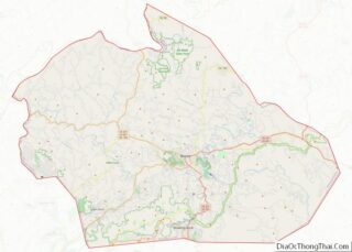
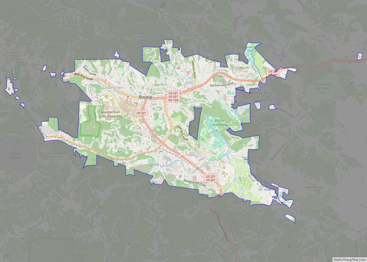
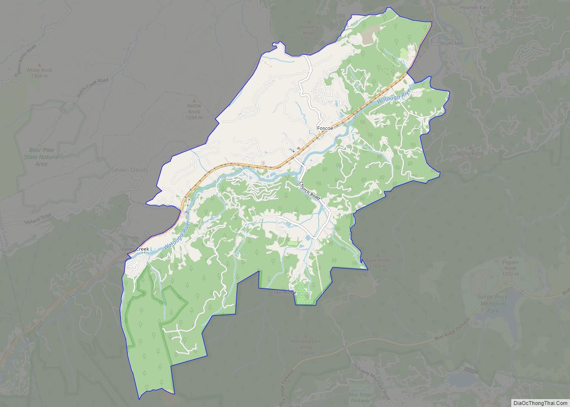
Online Interactive Map
Click on ![]() to view map in "full screen" mode.
to view map in "full screen" mode.
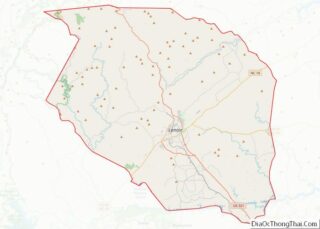
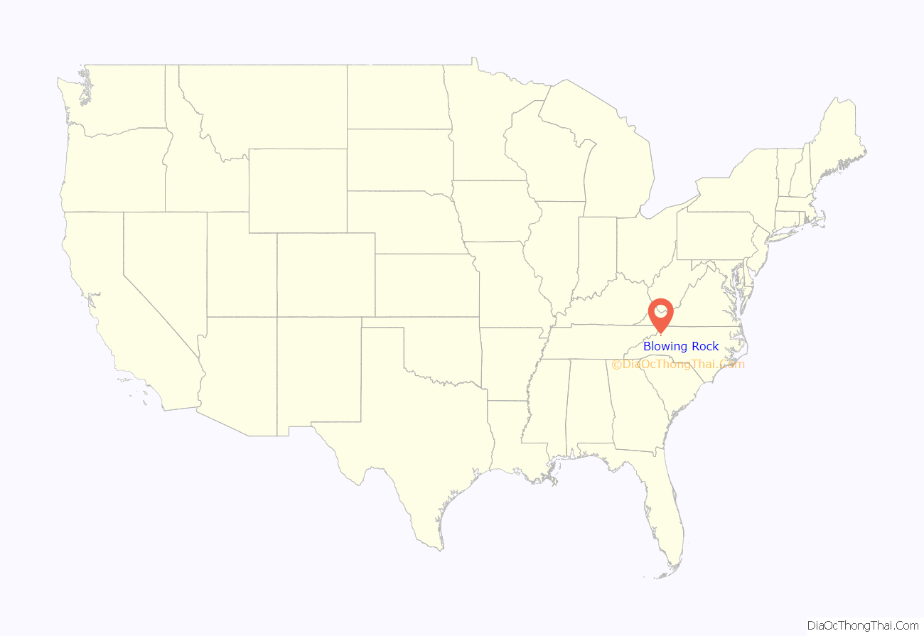
Blowing Rock location map. Where is Blowing Rock town?

History
Before 1752, when Bishop August Gottlieb Spangenberg of the Moravian Church visited the Blowing Rock, the windy cliffs of the area were home to the Cherokee and the Catawba Native American tribes.
After the mid-18th century, when hardy Scots-Irish pioneers began to settle in the region, the mountain passes from southern Virginia into Kentucky attracted many colonists, farmers, hunters, and trappers who continued south to the mountains of North Carolina. The first family to settle in Blowing Rock were the Greenes, who were established by the mid-19th century on a site that would become the Green Park Hotel property.
Other early settlers in Blowing Rock included the Hayes, Coffey, Bolick, Estes and Storie families. During the American Civil War the mountains of North Carolina often witnessed fierce guerrilla warfare between groups of pro-Confederate and pro-Union fighters. To keep their families safe, men leaving for service in the Confederate Army often sent them to Blowing Rock, which became a local refuge from the fighting.
After the Civil War many of these veterans would join their families and remain in the Blowing Rock area. At the same time, summer residents began to come up from the nearby city of Lenoir to enjoy the cool fresh air and magnificent mountain views. Seeing the potential of their village to become a haven for well-to-do tourists, the residents of Blowing Rock had their village incorporated into a town on March 11, 1889. The town’s first mayor was “Uncle” Joe Clarke, and the town initially had a population of about 300.
As word traveled to other parts of the South about the merits of Blowing Rock, more visitors began to arrive, first camping out, and later taking rooms at boarding houses such as the Hayes and Martin houses on Main Street. Eventually there were more visitors than the existing boarding houses could handle, and so many homes were turned into hotels. The first hotel in Blowing Rock was the Watauga Hotel, built in 1884; the hotel added cottages in 1888. The Green Park Hotel opened in 1891, followed eight years later by the Blowing Rock Hotel. Walter Alexander, a prominent local resident, touted the clean air and healthy environment of Blowing Rock; in 1922 he opened his own hotel, called Mayview Manor.
As the tourist economy became Blowing Rock’s main industry in the late 19th century, the town was forced to adapt to meeting the needs of tourists. The need for cleaner and better streets (most streets then were simply dirt tracks) led to the paving of the town’s streets and highways. Another issue involved the need to build fences to keep farm animals from wandering into town and disturbing visitors – at the time most farms in the area were not fenced. In 1896 the town passed an ordinance which required local farmers to fence in their livestock.
The introduction of the automobile and improved roads early in the 20th century further eased the journey to Blowing Rock, and visitors began to arrive from as far away as Florida. Today Blowing Rock remains a tourist destination for visitors from all over the United States. Due to the town’s well-to-do, out-of-state summertime residents, Blowing Rock has restaurants, hotels, golf courses, and other attractions. A recent priority for Blowing Rock’s residents has been to preserve and protect the town’s historic structures and maintaining the small-town charm and scenery that has attracted so many people for the last 150 years.
In addition to the Green Park Inn, the Bollinger-Hartley House, East Tennessee and Western North Carolina Railroad Locomotive No. 12, Gragg House, Green Park Historic District, Randall Memorial Building, Former, Vardell Family Cottages Historic District, Westglow, and Moses Cone’s Flat Top Manor are listed on the National Register of Historic Places.
Saint Elizabeth Catholic Church (Boone, NC), operates the Church of the Epiphany as a seasonal, mission church in Blowing Rock.
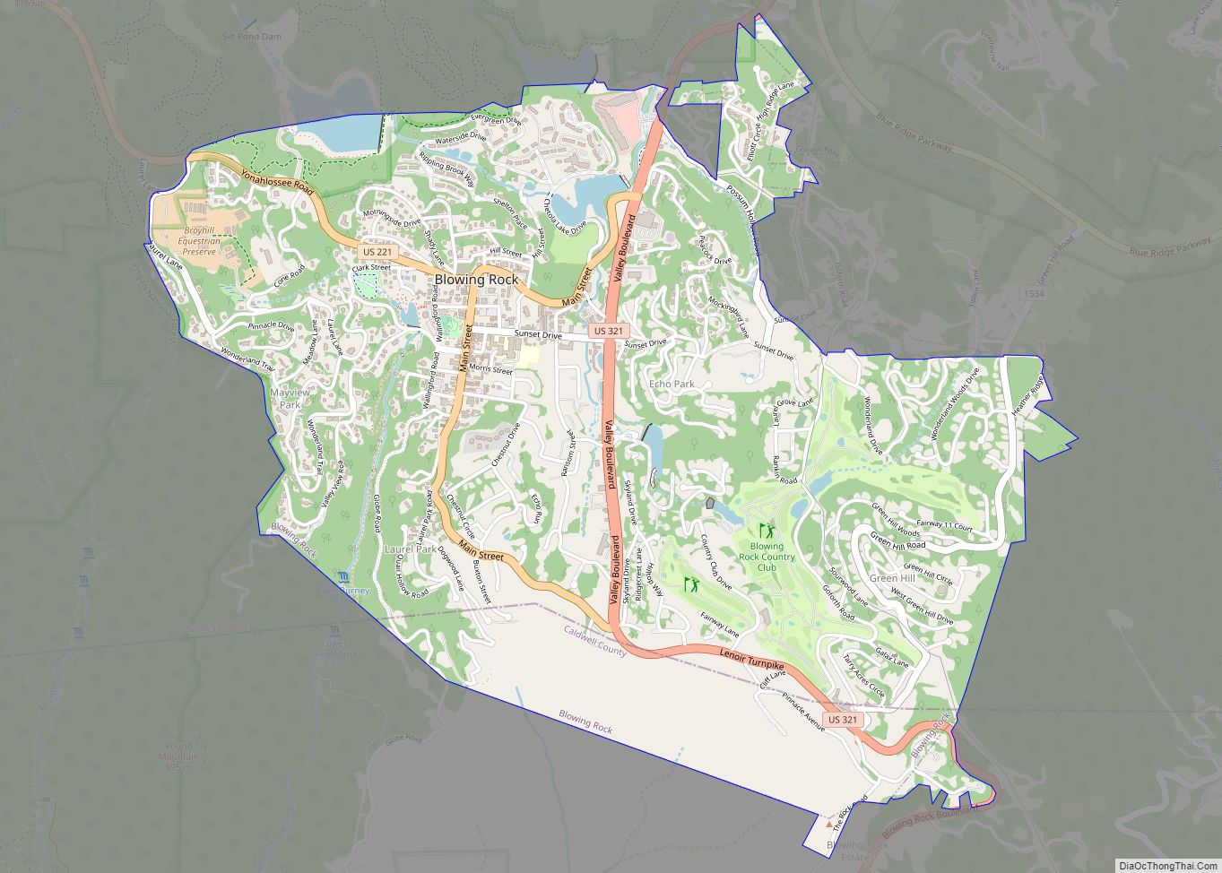
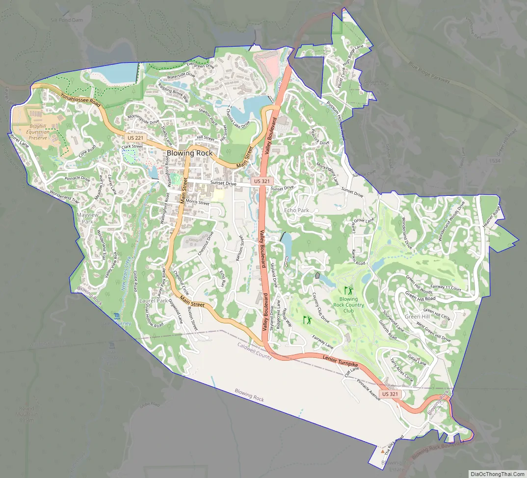
Blowing Rock Road Map
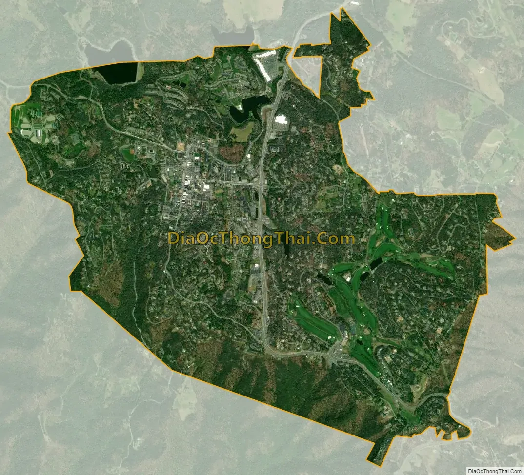
Blowing Rock city Satellite Map
Geography
Blowing Rock is located in southern Watauga County at 36°7′47″N 81°40′21″W / 36.12972°N 81.67250°W / 36.12972; -81.67250 (36.129663, -81.672566), in the Blue Ridge Mountains. The southernmost portion of the town, including the actual Blowing Rock cliff, is located in Caldwell County.
The town is located on the crest of the Blue Ridge. Most of the town lies just north of the crest, with waters draining north to the Middle Fork of the New River and thence to the Ohio River valley, while to the south of the ridgecrest, waters flow via the Johns River to the Catawba River valley and eventually to the Atlantic Ocean in South Carolina.
According to the United States Census Bureau, the town has a total area of 3.1 square miles (7.9 km), of which 3.0 square miles (7.7 km) of the area is land, and 0.04 square miles (0.1 km), or 1.49% of the total area, is water.
Climate
The climate in the area can be described as warm-summer humid continental (Dfb), or highland subtropical climate (Cfb) depending on the isotherm used; Köppen Climate Classification. This results in an unusual climate compared to the rest of North Carolina; the town’s elevation of 3,500 to 3,600 feet (1,100 to 1,100 m) above sea level results in cooler summer temperatures than lowland areas to the east and south. Daytime temperatures in the summer infrequently rise above 80 °F (27 °C). Temperatures in the winter are much colder and harsher than what would be expected in a southern state, being more similar to southern coastal New England. Daytime highs can frequently fall into the 20s or lower. Snow, sleet, and freezing rain are all common in the winter months. Springtime and Autumn in Blowing Rock are both cool and generally pleasant.
Rainfall is moderate; thunderstorms are occasional and rarely severe.
The biggest 24-hour temperature change recorded in North Carolina was recorded at Blowing Rock on 1 January 1979, yielding a temperature range of 63 degrees, from -8 °F to 55 °F.
See also
Map of North Carolina State and its subdivision:- Alamance
- Alexander
- Alleghany
- Anson
- Ashe
- Avery
- Beaufort
- Bertie
- Bladen
- Brunswick
- Buncombe
- Burke
- Cabarrus
- Caldwell
- Camden
- Carteret
- Caswell
- Catawba
- Chatham
- Cherokee
- Chowan
- Clay
- Cleveland
- Columbus
- Craven
- Cumberland
- Currituck
- Dare
- Davidson
- Davie
- Duplin
- Durham
- Edgecombe
- Forsyth
- Franklin
- Gaston
- Gates
- Graham
- Granville
- Greene
- Guilford
- Halifax
- Harnett
- Haywood
- Henderson
- Hertford
- Hoke
- Hyde
- Iredell
- Jackson
- Johnston
- Jones
- Lee
- Lenoir
- Lincoln
- Macon
- Madison
- Martin
- McDowell
- Mecklenburg
- Mitchell
- Montgomery
- Moore
- Nash
- New Hanover
- Northampton
- Onslow
- Orange
- Pamlico
- Pasquotank
- Pender
- Perquimans
- Person
- Pitt
- Polk
- Randolph
- Richmond
- Robeson
- Rockingham
- Rowan
- Rutherford
- Sampson
- Scotland
- Stanly
- Stokes
- Surry
- Swain
- Transylvania
- Tyrrell
- Union
- Vance
- Wake
- Warren
- Washington
- Watauga
- Wayne
- Wilkes
- Wilson
- Yadkin
- Yancey
- Alabama
- Alaska
- Arizona
- Arkansas
- California
- Colorado
- Connecticut
- Delaware
- District of Columbia
- Florida
- Georgia
- Hawaii
- Idaho
- Illinois
- Indiana
- Iowa
- Kansas
- Kentucky
- Louisiana
- Maine
- Maryland
- Massachusetts
- Michigan
- Minnesota
- Mississippi
- Missouri
- Montana
- Nebraska
- Nevada
- New Hampshire
- New Jersey
- New Mexico
- New York
- North Carolina
- North Dakota
- Ohio
- Oklahoma
- Oregon
- Pennsylvania
- Rhode Island
- South Carolina
- South Dakota
- Tennessee
- Texas
- Utah
- Vermont
- Virginia
- Washington
- West Virginia
- Wisconsin
- Wyoming