Benson is a town in Johnston County, North Carolina, United States, near the intersection of Interstates 95 and 40. Benson celebrates Mule Days on the fourth Saturday of September, a festival that attracts over 60,000 people each year. In 2010, the population was 3,311, up from 2,923 in 2000.
| Name: | Benson town |
|---|---|
| LSAD Code: | 43 |
| LSAD Description: | town (suffix) |
| State: | North Carolina |
| County: | Harnett County, Johnston County |
| Elevation: | 243 ft (74 m) |
| Total Area: | 2.81 sq mi (7.28 km²) |
| Land Area: | 2.81 sq mi (7.26 km²) |
| Water Area: | 0.01 sq mi (0.01 km²) |
| Total Population: | 3,967 |
| Population Density: | 1,414.26/sq mi (546.07/km²) |
| ZIP code: | 27504 |
| Area code: | 919 |
| FIPS code: | 3705040 |
| GNISfeature ID: | 1019093 |
| Website: | www.townofbenson.com |
Online Interactive Map
Click on ![]() to view map in "full screen" mode.
to view map in "full screen" mode.
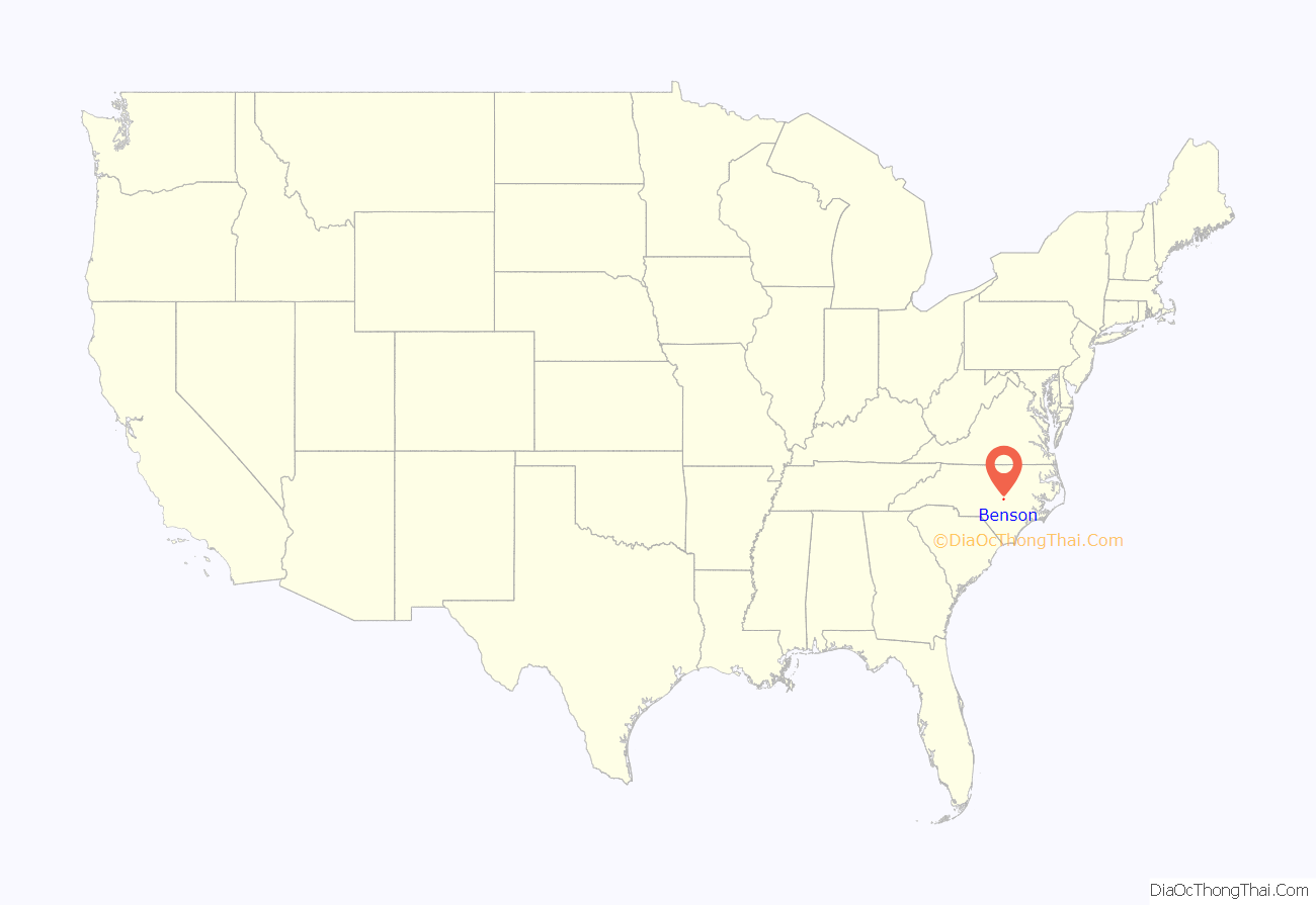
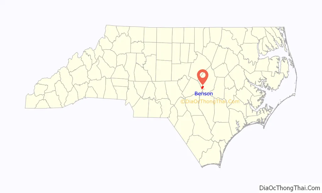
Benson location map. Where is Benson town?
History
The town of Benson, which derives its name from early settler Alfred Monroe (“Mim”) Benson, owes much of its historical development to the railroad line which passed through the present location in town in 1886 on its route between Fayetteville and Contentnea. More information on the history of Benson and the surrounding communities may be found at the new Benson Museum of Local History located at 102 W. Main Street, next to the Mary Duncan Library.
Mr. Benson’s purchase of a 402-acre (1.63 km) tract along the Smithfield-Fayetteville Road in 1874 initiated the settlement of the area now known as Benson. During the 1880s Benson sold portions of his original tract to incoming settlers, many of whom were farmers. Benson was incorporated in 1887 and soon attracted a number of entrepreneurs wishing to take advantage of this new town along an important transportation route.
A prominent early resident of the Benson area was John William Wood Sr. (December 28, 1855 – October 31, 1928) who rode to Benson each morning on a mule and wagon from his home at Peacocks Crossroads near Meadow. After having served on the Board of Education and as a county commissioner, where he was known to be a watchdog of the treasury, he was elected to a term in the State House of Representatives in 1927. Meadow School was built on land donated by him.
The Benson Historic District and Hannah’s Creek Primitive Baptist Church are listed on the National Register of Historic Places.
Benson is home to Alpha Company 230th BSB, who were deployed in 2009 in support of Operation Iraqi Freedom.
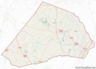
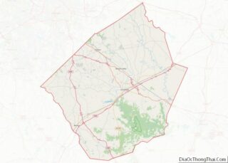
Benson Road Map

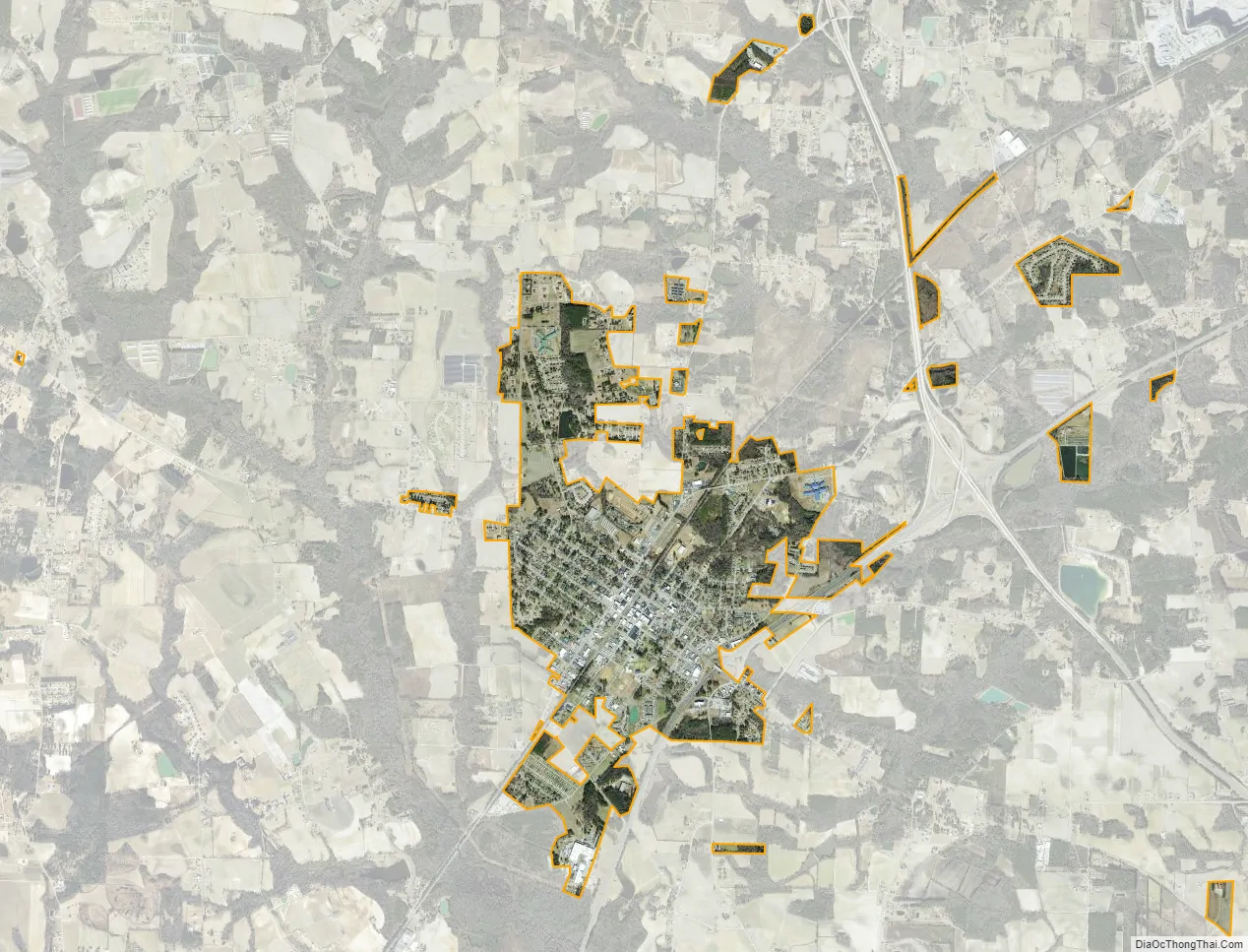
Benson city Satellite Map
Geography
Benson is in southwestern Johnston County, less than 1 mile (1.6 km) from the Harnett County line. U.S. Route 301 (Wall Street) passes through the center of the town, leading northeast 15 miles (24 km) to Smithfield, the Johnston county seat, and southwest 6 miles (10 km) to Dunn. North Carolina Highway 50 is Benson’s Main Street, crossing US 301 in the center of town and leading north 24 miles (39 km) to Garner and southeast 15 miles (24 km) to Newton Grove. Interstate 95 passes through the southeastern side of Benson and runs parallel to US 301, connecting Fayetteville and Rocky Mount, while Interstate 40 passes northeast of the town and runs parallel to NC 50, leading to Raleigh and Wilmington.
According to the United States Census Bureau, Benson has a total area of 2.8 square miles (7.2 km), of which 0.004 square miles (0.01 km), or 0.16%, is water.
See also
Map of North Carolina State and its subdivision:- Alamance
- Alexander
- Alleghany
- Anson
- Ashe
- Avery
- Beaufort
- Bertie
- Bladen
- Brunswick
- Buncombe
- Burke
- Cabarrus
- Caldwell
- Camden
- Carteret
- Caswell
- Catawba
- Chatham
- Cherokee
- Chowan
- Clay
- Cleveland
- Columbus
- Craven
- Cumberland
- Currituck
- Dare
- Davidson
- Davie
- Duplin
- Durham
- Edgecombe
- Forsyth
- Franklin
- Gaston
- Gates
- Graham
- Granville
- Greene
- Guilford
- Halifax
- Harnett
- Haywood
- Henderson
- Hertford
- Hoke
- Hyde
- Iredell
- Jackson
- Johnston
- Jones
- Lee
- Lenoir
- Lincoln
- Macon
- Madison
- Martin
- McDowell
- Mecklenburg
- Mitchell
- Montgomery
- Moore
- Nash
- New Hanover
- Northampton
- Onslow
- Orange
- Pamlico
- Pasquotank
- Pender
- Perquimans
- Person
- Pitt
- Polk
- Randolph
- Richmond
- Robeson
- Rockingham
- Rowan
- Rutherford
- Sampson
- Scotland
- Stanly
- Stokes
- Surry
- Swain
- Transylvania
- Tyrrell
- Union
- Vance
- Wake
- Warren
- Washington
- Watauga
- Wayne
- Wilkes
- Wilson
- Yadkin
- Yancey
- Alabama
- Alaska
- Arizona
- Arkansas
- California
- Colorado
- Connecticut
- Delaware
- District of Columbia
- Florida
- Georgia
- Hawaii
- Idaho
- Illinois
- Indiana
- Iowa
- Kansas
- Kentucky
- Louisiana
- Maine
- Maryland
- Massachusetts
- Michigan
- Minnesota
- Mississippi
- Missouri
- Montana
- Nebraska
- Nevada
- New Hampshire
- New Jersey
- New Mexico
- New York
- North Carolina
- North Dakota
- Ohio
- Oklahoma
- Oregon
- Pennsylvania
- Rhode Island
- South Carolina
- South Dakota
- Tennessee
- Texas
- Utah
- Vermont
- Virginia
- Washington
- West Virginia
- Wisconsin
- Wyoming