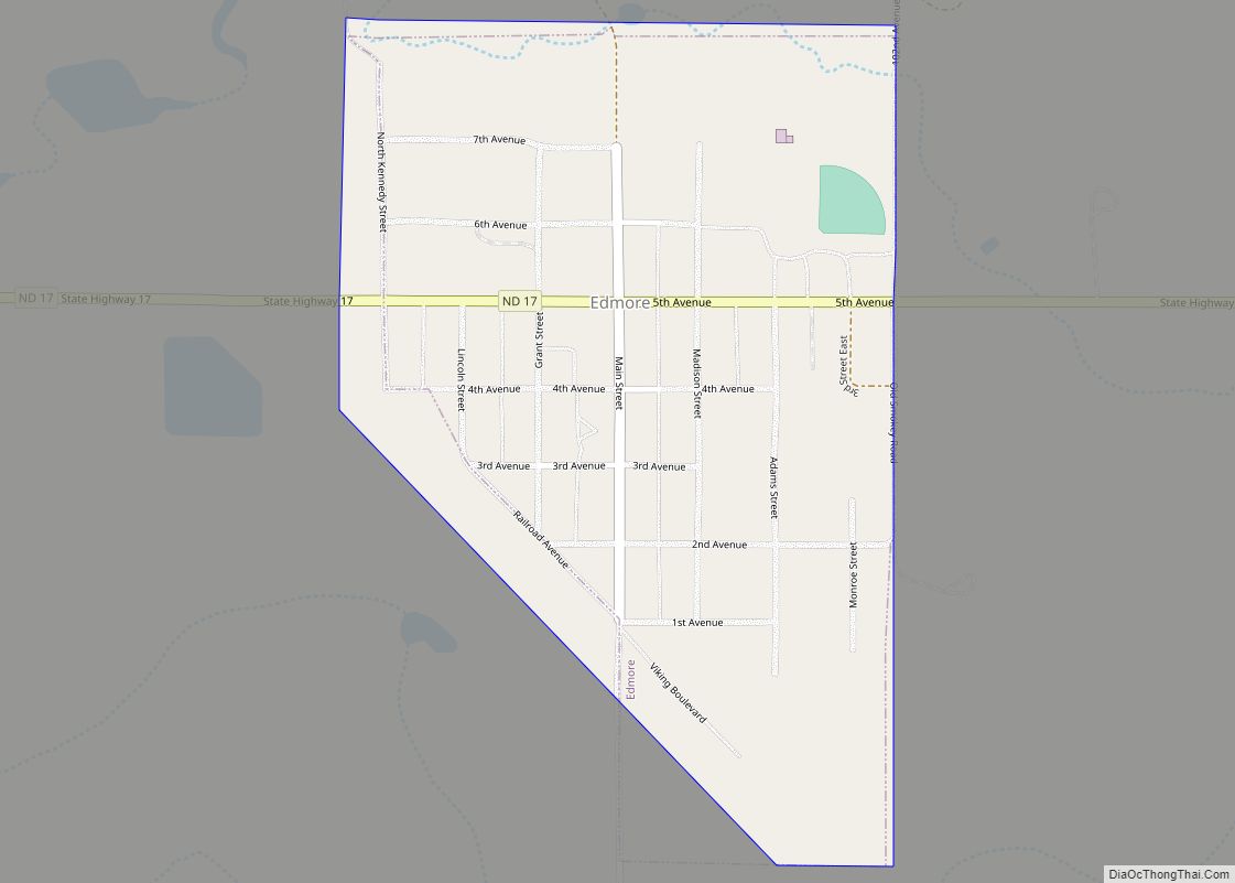
Edmore is a city in Ramsey County, North Dakota, United States. The population was 139 at the 2020 census. Edmore was founded in 1901. Edmore city overview: Name: Edmore city LSAD Code: 25 LSAD Description: city (suffix) State: North Dakota County: Ramsey County Elevation: 1,522 ft (464 m) Total Area: 0.29 sq mi (0.76 km²) Land Area: 0.29 sq mi (0.76 km²) Water ... Read more
North Dakota Cities and Places
Edinburg is a city in Walsh County, North Dakota, United States. The population was 199 at the 2020 census. Edinburg city overview: Name: Edinburg city LSAD Code: 25 LSAD Description: city (suffix) State: North Dakota County: Walsh County Founded: 1887 Elevation: 1,191 ft (363 m) Total Area: 0.32 sq mi (0.82 km²) Land Area: 0.32 sq mi (0.82 km²) Water Area: 0.00 sq mi (0.00 km²) ... Read more
Edgeley is a city in LaMoure County, North Dakota, United States. The population was 585 at the 2020 census. Edgeley city overview: Name: Edgeley city LSAD Code: 25 LSAD Description: city (suffix) State: North Dakota County: LaMoure County Founded: 1886 Elevation: 1,565 ft (477 m) Total Area: 0.75 sq mi (1.94 km²) Land Area: 0.75 sq mi (1.94 km²) Water Area: 0.00 sq mi (0.00 km²) ... Read more
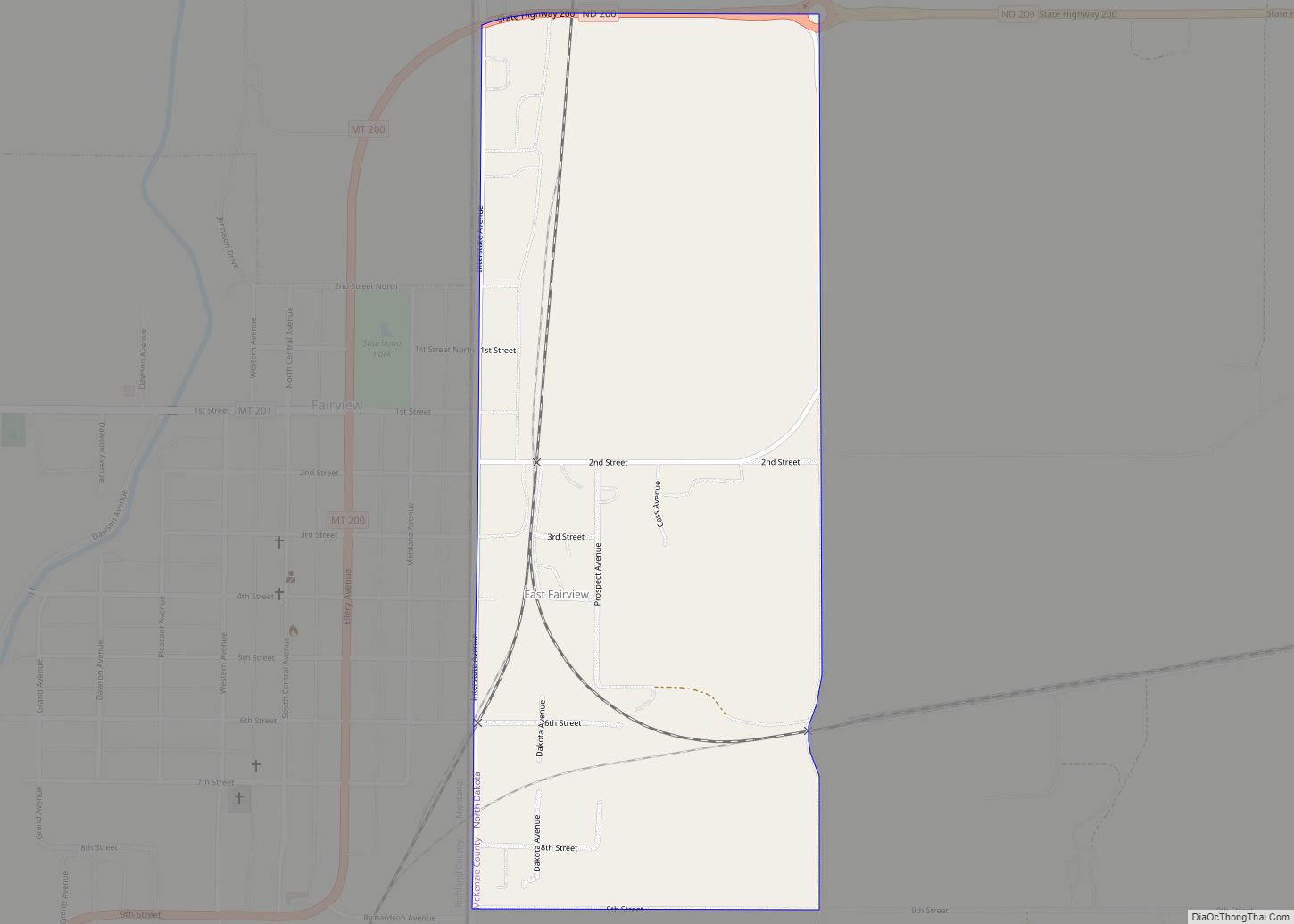
East Fairview is a census-designated place and unincorporated community in McKenzie County, North Dakota, United States. Its population was 76 as of the 2010 census. The community is located on the North Dakota-Montana border, which separates it from Fairview, Montana. East Fairview CDP overview: Name: East Fairview CDP LSAD Code: 57 LSAD Description: CDP (suffix) ... Read more
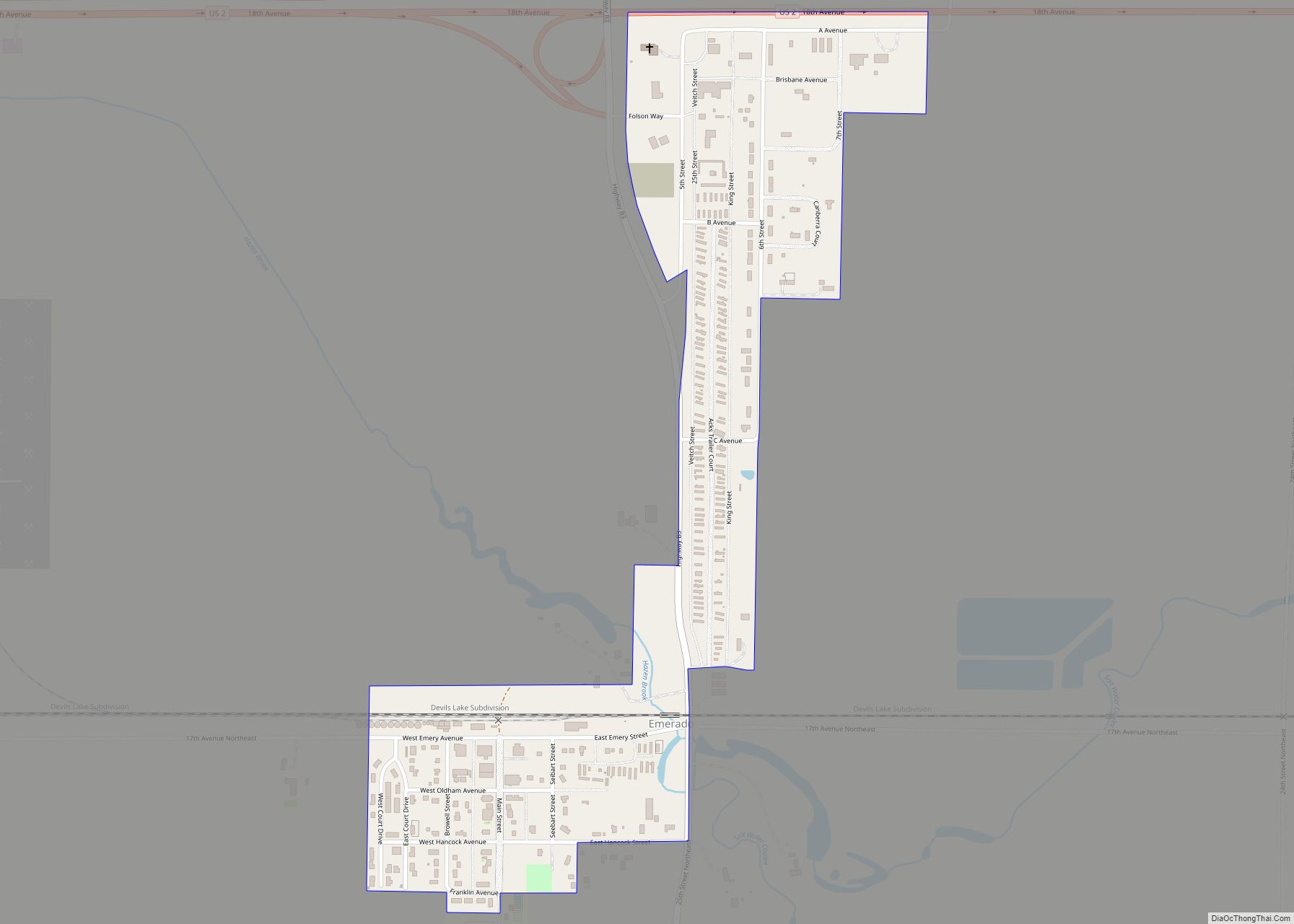
Emerado is a city in Grand Forks County, North Dakota, United States located near Grand Forks Air Force Base. It is part of the “Grand Forks, ND–MN Metropolitan Statistical Area” or “Greater Grand Forks”. The population was 443 at the 2020 census. Grand Forks Air Force Base is located near Emerado. Emerado city overview: Name: ... Read more
Embden is a census-designated place and unincorporated community in Cass County, North Dakota, United States. Its population was 59 as of the 2010 census. Embden CDP overview: Name: Embden CDP LSAD Code: 57 LSAD Description: CDP (suffix) State: North Dakota County: Cass County Elevation: 1,056 ft (322 m) Total Area: 0.72 sq mi (1.86 km²) Land Area: 0.72 sq mi (1.86 km²) Water ... Read more
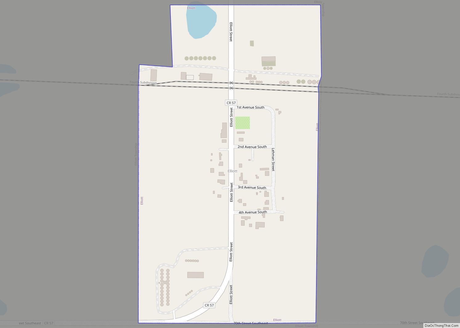
Elliott is a city in Ransom County, North Dakota, United States. The population was 24 at the 2020 census. Elliott was founded in 1883. Elliott city overview: Name: Elliott city LSAD Code: 25 LSAD Description: city (suffix) State: North Dakota County: Ransom County Elevation: 1,332 ft (406 m) Total Area: 0.15 sq mi (0.40 km²) Land Area: 0.15 sq mi (0.40 km²) Water ... Read more
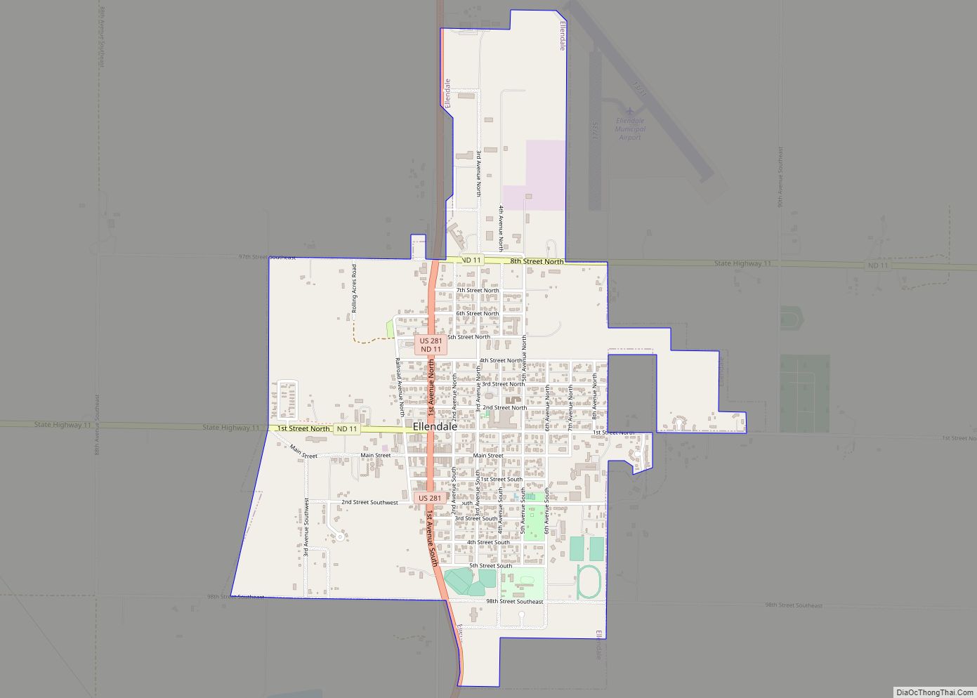
Ellendale is a city in Dickey County, North Dakota, United States. It is the capital city of Dickey County. The population was 1,125 at the 2020 census. Ellendale was founded in 1882. Ellendale is the home of Trinity Bible College, located on the former campus of the North Dakota State Normal and Industrial School and ... Read more
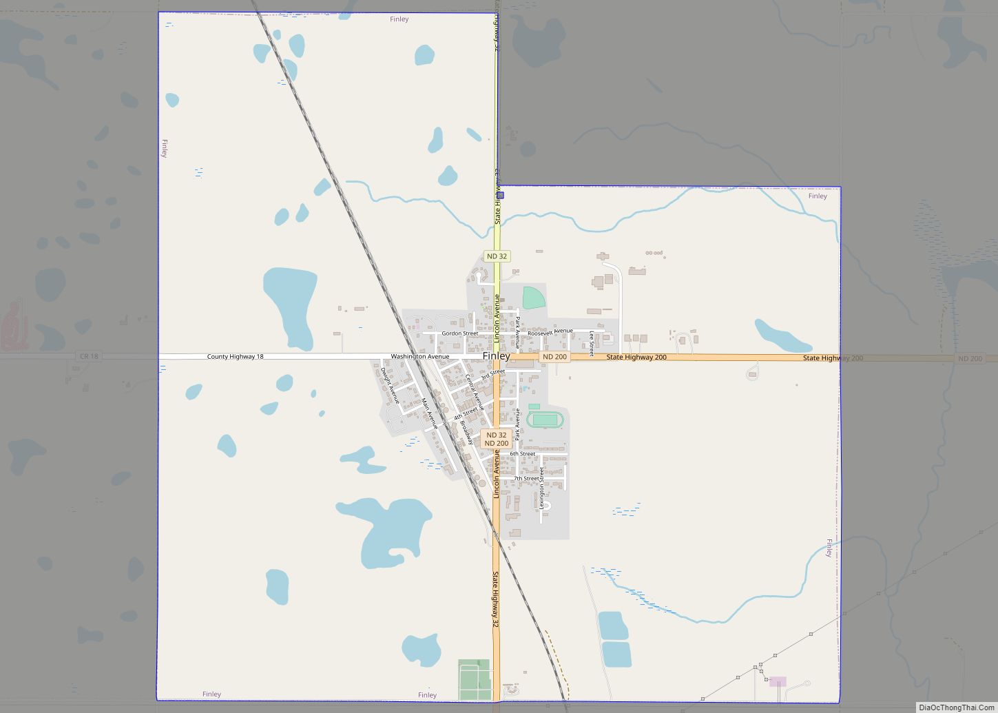
Finley is a city in Steele County, North Dakota. It is the county seat of Steele County. The population was 401 at the 2020 census. Finley was founded in 1897. Finley city overview: Name: Finley city LSAD Code: 25 LSAD Description: city (suffix) State: North Dakota County: Steele County Founded: 1897 Elevation: 1,453 ft (443 m) Total ... Read more
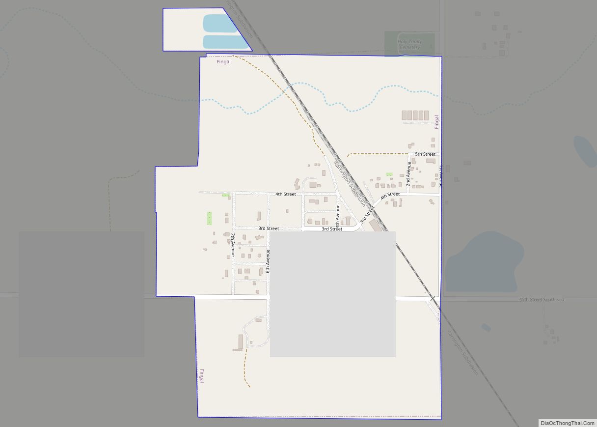
Fingal is a city in Barnes County, North Dakota, United States. The population was 92 at the 2020 census. Fingal was founded in 1891. Fingal was named and settled by immigrants from Fingal, Ontario, Canada. Fingal city overview: Name: Fingal city LSAD Code: 25 LSAD Description: city (suffix) State: North Dakota County: Barnes County Founded: ... Read more
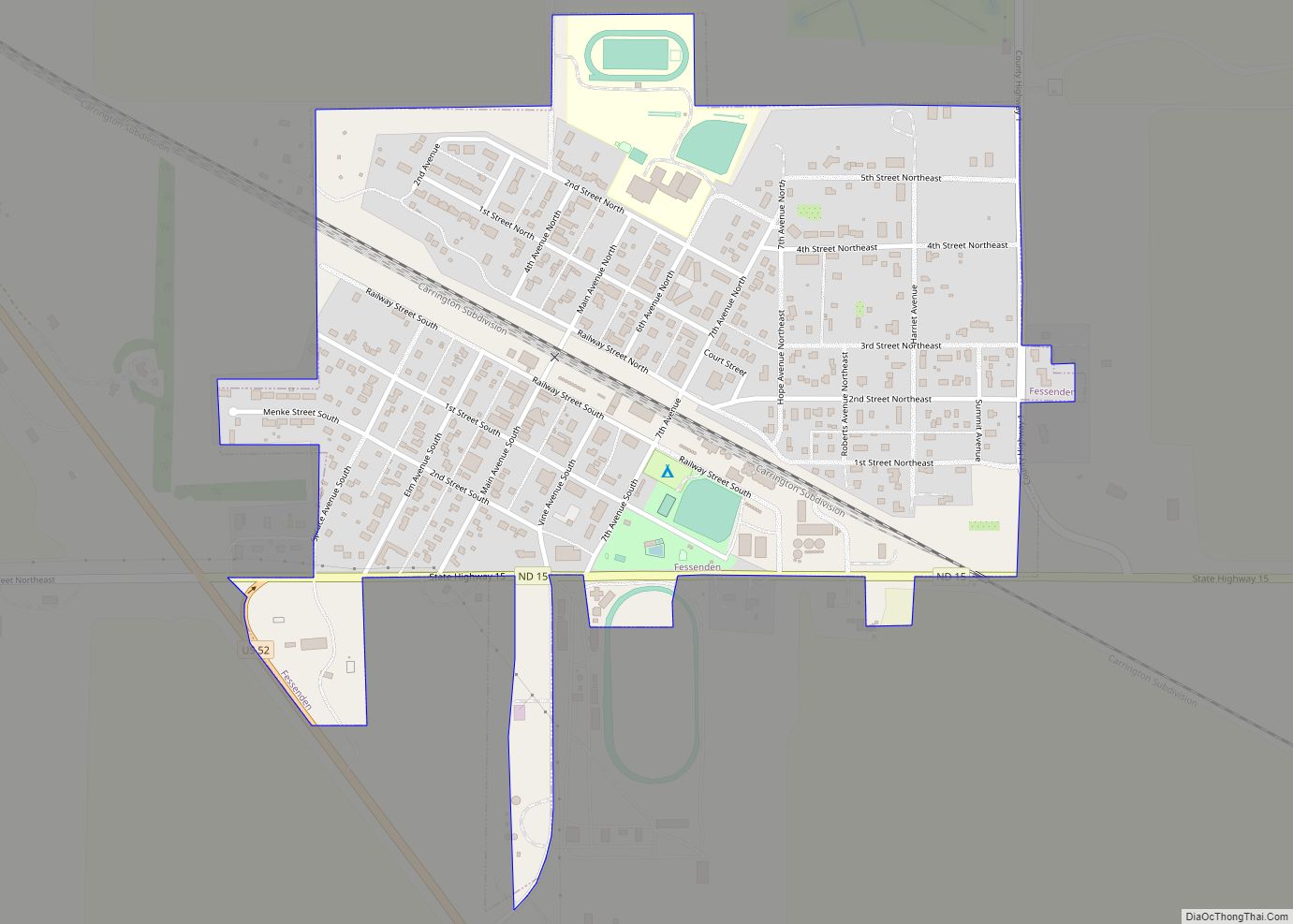
Fessenden is a town in, and the county seat of, Wells County, North Dakota, United States. It was founded in 1893 and is home of the Wells County Fair. The population was 462 at the 2020 census. Fessenden city overview: Name: Fessenden city LSAD Code: 25 LSAD Description: city (suffix) State: North Dakota County: Wells ... Read more
Fairmount is a city in Richland County, North Dakota, United States. The population was 343 at the 2020 census. Fairmount was founded in 1884. It is part of the Wahpeton, ND–MN Micropolitan Statistical Area. Fairmount city overview: Name: Fairmount city LSAD Code: 25 LSAD Description: city (suffix) State: North Dakota County: Richland County Founded: 1884 ... Read more
