Fessenden is a town in, and the county seat of, Wells County, North Dakota, United States. It was founded in 1893 and is home of the Wells County Fair. The population was 462 at the 2020 census.
| Name: | Fessenden city |
|---|---|
| LSAD Code: | 25 |
| LSAD Description: | city (suffix) |
| State: | North Dakota |
| County: | Wells County |
| Founded: | 1893 |
| Elevation: | 1,611 ft (491 m) |
| Total Area: | 0.44 sq mi (1.14 km²) |
| Land Area: | 0.44 sq mi (1.14 km²) |
| Water Area: | 0.00 sq mi (0.00 km²) |
| Total Population: | 462 |
| Population Density: | 1,047.62/sq mi (404.27/km²) |
| ZIP code: | 58438 |
| Area code: | 701 |
| FIPS code: | 3826180 |
| GNISfeature ID: | 1028952 |
| Website: | fessendennd.com |
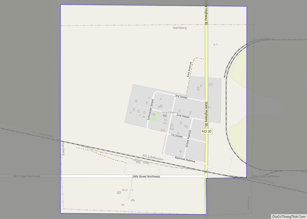
Online Interactive Map
Click on ![]() to view map in "full screen" mode.
to view map in "full screen" mode.
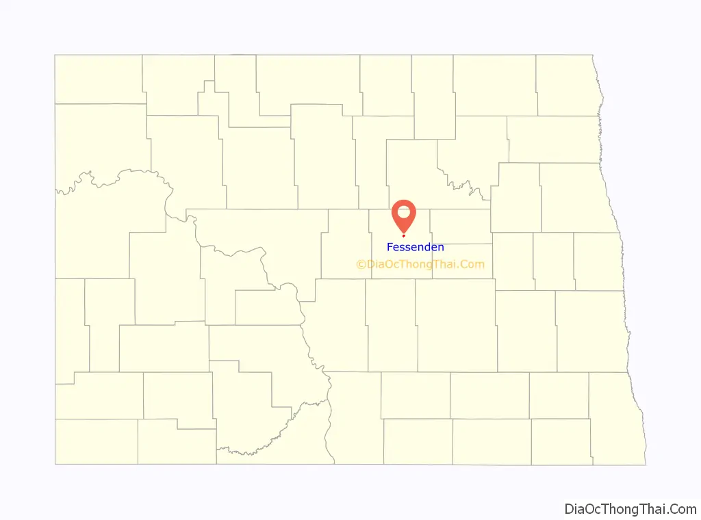
Fessenden location map. Where is Fessenden city?

History
Fessenden was founded in 1893 with the arrival of the Minneapolis, St. Paul and Sault Ste. Marie Railroad into the area. In 1894, the county seat was transferred to Fessenden from Sykeston, North Dakota and the Wells County Courthouse was built the next year. It was named for ex-Surveyor General Fessenden, who had surveyed the county.
Fessenden Auditorium building on Main Ave. between Railway Street South and 1 Street South has collapsed on July 3, 2007. On April 16, 2009 there was a fire that destroyed a bar, bowling alley, and a cafe, as well as doing some damage to the medical center in Fessenden. Fessenden celebrated its centennial in July 1993.
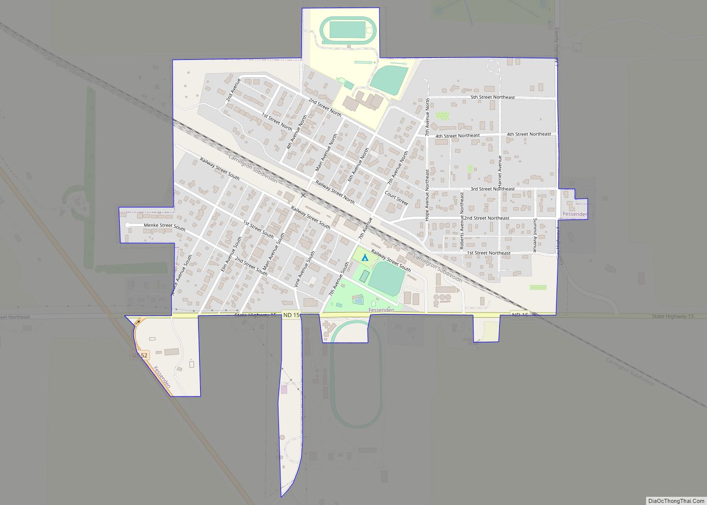
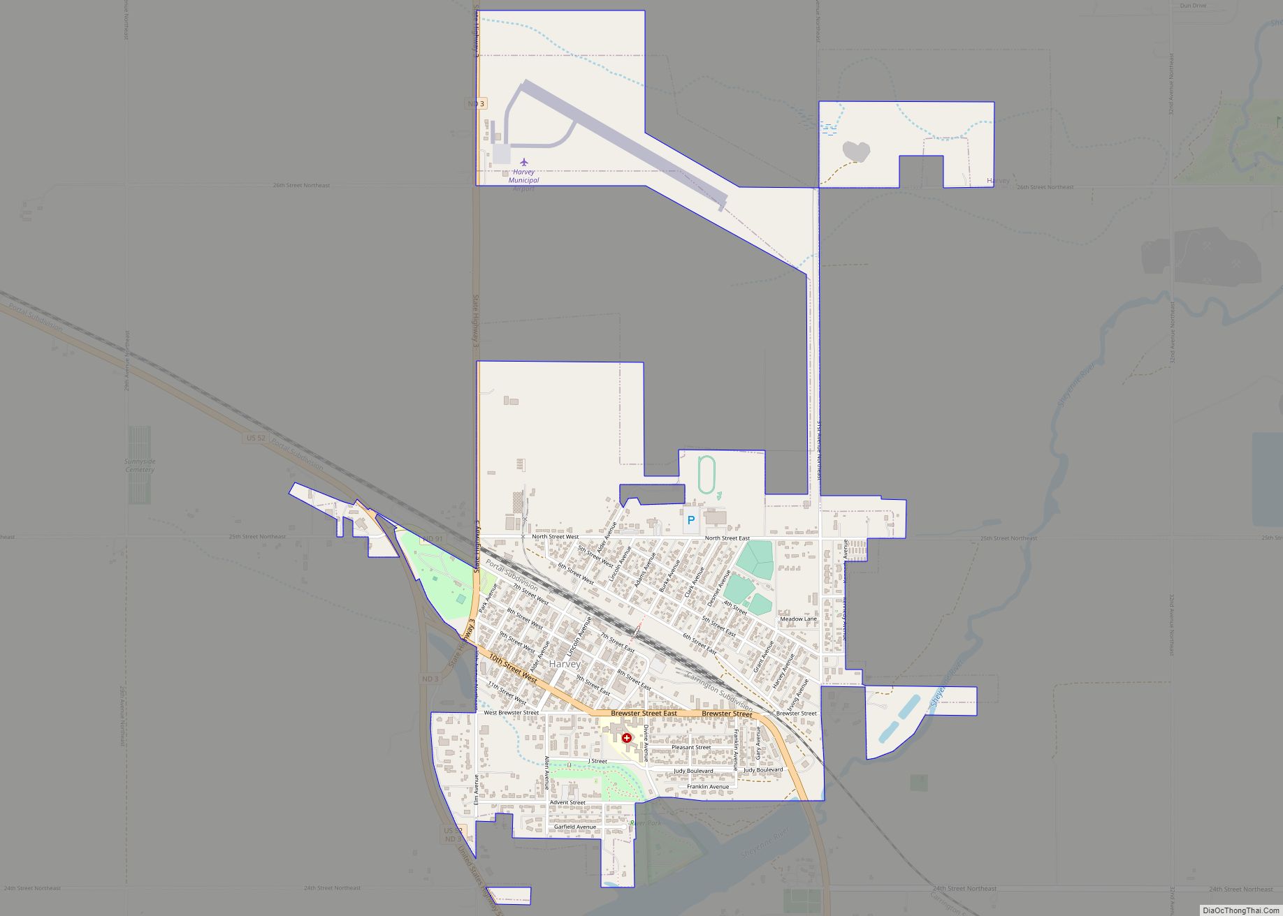
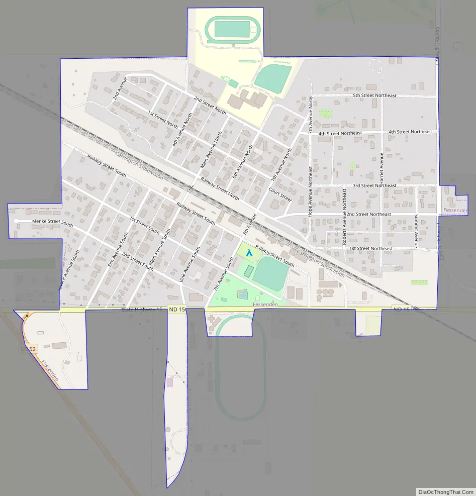
Fessenden Road Map
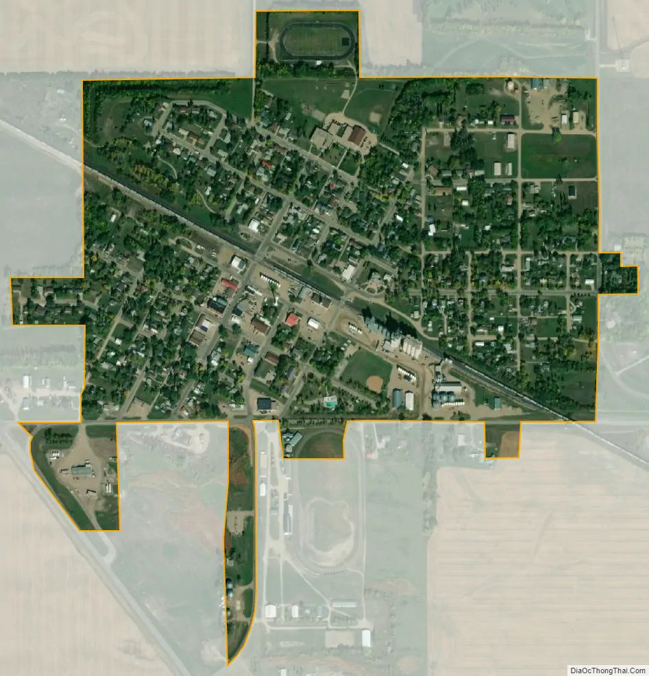
Fessenden city Satellite Map
Geography
Fessenden is located at 47°38′59″N 99°37′34″W / 47.64972°N 99.62611°W / 47.64972; -99.62611 (47.649667, -99.626142).
According to the United States Census Bureau, the city has a total area of 0.45 square miles (1.17 km), all land.
See also
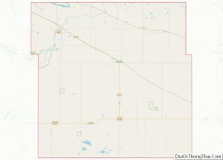
Map of North Dakota State and its subdivision:- Adams
- Barnes
- Benson
- Billings
- Bottineau
- Bowman
- Burke
- Burleigh
- Cass
- Cavalier
- Dickey
- Divide
- Dunn
- Eddy
- Emmons
- Foster
- Golden Valley
- Grand Forks
- Grant
- Griggs
- Hettinger
- Kidder
- Lamoure
- Logan
- McHenry
- McIntosh
- McKenzie
- McLean
- Mercer
- Morton
- Mountrail
- Nelson
- Oliver
- Pembina
- Pierce
- Ramsey
- Ransom
- Renville
- Richland
- Rolette
- Sargent
- Sheridan
- Sioux
- Slope
- Stark
- Steele
- Stutsman
- Towner
- Traill
- Walsh
- Ward
- Wells
- Williams
- Alabama
- Alaska
- Arizona
- Arkansas
- California
- Colorado
- Connecticut
- Delaware
- District of Columbia
- Florida
- Georgia
- Hawaii
- Idaho
- Illinois
- Indiana
- Iowa
- Kansas
- Kentucky
- Louisiana
- Maine
- Maryland
- Massachusetts
- Michigan
- Minnesota
- Mississippi
- Missouri
- Montana
- Nebraska
- Nevada
- New Hampshire
- New Jersey
- New Mexico
- New York
- North Carolina
- North Dakota
- Ohio
- Oklahoma
- Oregon
- Pennsylvania
- Rhode Island
- South Carolina
- South Dakota
- Tennessee
- Texas
- Utah
- Vermont
- Virginia
- Washington
- West Virginia
- Wisconsin
- Wyoming