Ellendale is a city in Dickey County, North Dakota, United States. It is the capital city of Dickey County. The population was 1,125 at the 2020 census. Ellendale was founded in 1882. Ellendale is the home of Trinity Bible College, located on the former campus of the North Dakota State Normal and Industrial School and the Ellendale Opera House currently under renovation.
| Name: | Ellendale city |
|---|---|
| LSAD Code: | 25 |
| LSAD Description: | city (suffix) |
| State: | North Dakota |
| County: | Dickey County |
| Elevation: | 1,453 ft (443 m) |
| Total Area: | 1.42 sq mi (3.67 km²) |
| Land Area: | 1.42 sq mi (3.67 km²) |
| Water Area: | 0.00 sq mi (0.00 km²) |
| Total Population: | 1,125 |
| Population Density: | 793.93/sq mi (306.48/km²) |
| ZIP code: | 58436 |
| Area code: | 701 |
| FIPS code: | 3823220 |
| GNISfeature ID: | 1028850 |
| Website: | ellendalend.com |
Online Interactive Map
Click on ![]() to view map in "full screen" mode.
to view map in "full screen" mode.
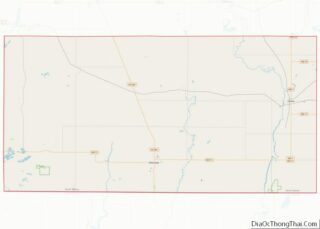
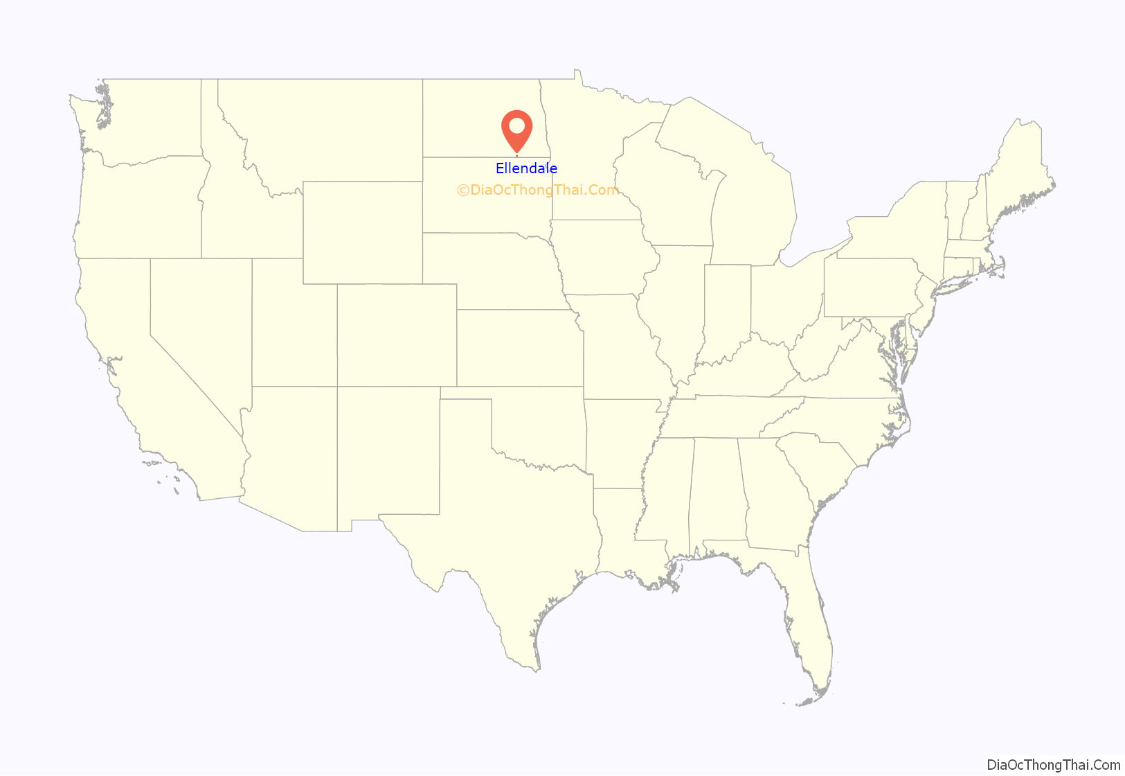
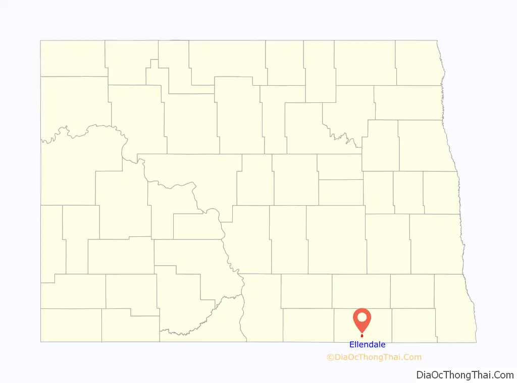
Ellendale location map. Where is Ellendale city?
History
Ellendale was established as county seat of the newly formed Dickey County in 1882. That same year saw the arrival of the Chicago, Milwaukee, St. Paul and Pacific Railroad into the area.
Ellendale is named for the wife of S. S. Merrill.
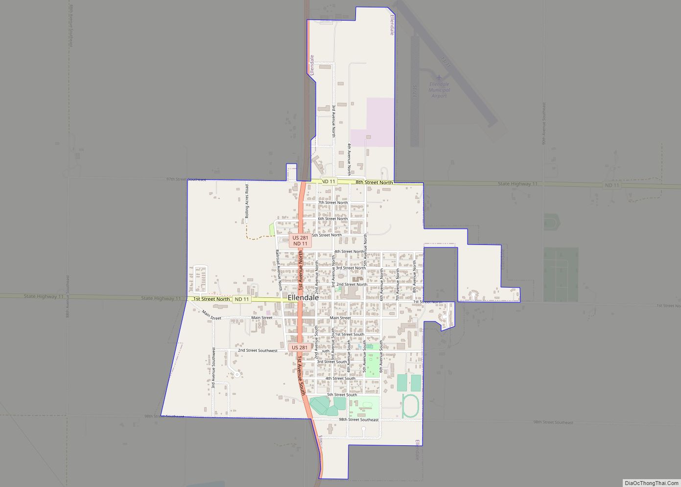
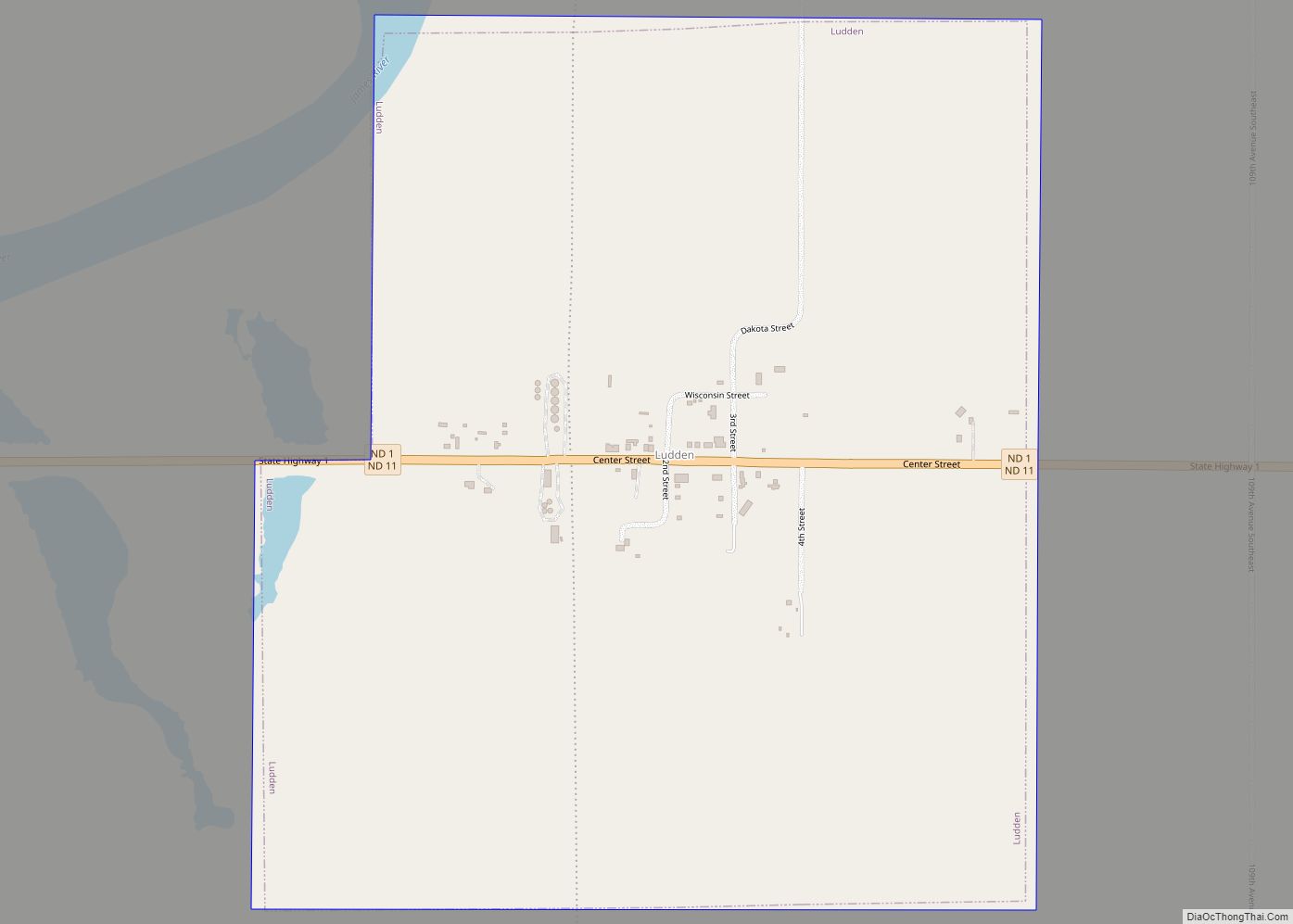
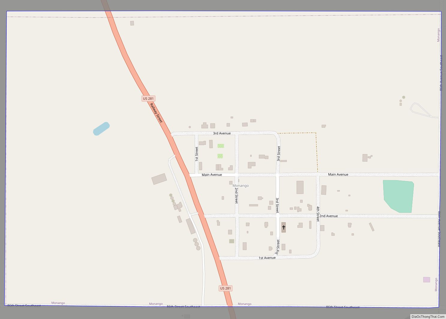
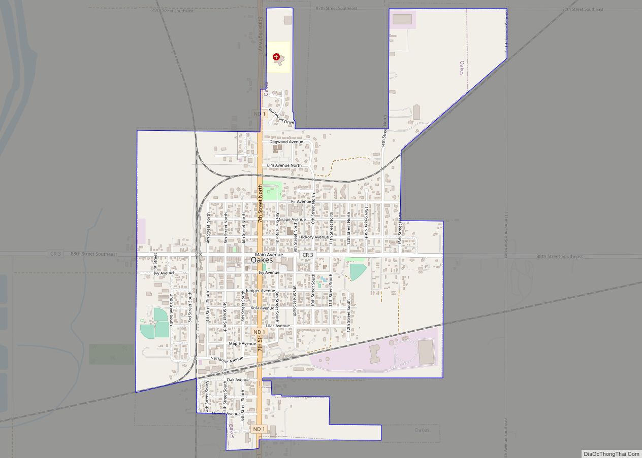
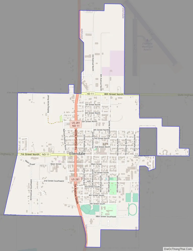
Ellendale Road Map
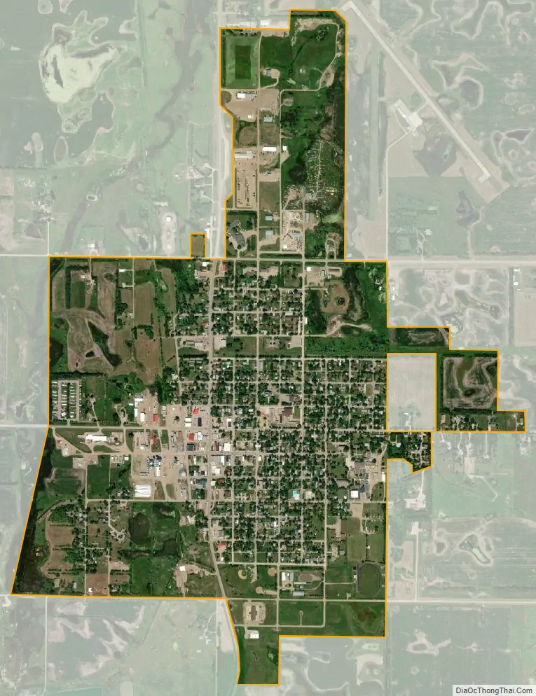
Ellendale city Satellite Map
Geography
Ellendale is located at 46°0′11″N 98°31′23″W / 46.00306°N 98.52306°W / 46.00306; -98.52306 (46.002987, −98.523112). According to the United States Census Bureau, the city has a total area of 1.52 square miles (3.94 km), all land.
See also
Map of North Dakota State and its subdivision:- Adams
- Barnes
- Benson
- Billings
- Bottineau
- Bowman
- Burke
- Burleigh
- Cass
- Cavalier
- Dickey
- Divide
- Dunn
- Eddy
- Emmons
- Foster
- Golden Valley
- Grand Forks
- Grant
- Griggs
- Hettinger
- Kidder
- Lamoure
- Logan
- McHenry
- McIntosh
- McKenzie
- McLean
- Mercer
- Morton
- Mountrail
- Nelson
- Oliver
- Pembina
- Pierce
- Ramsey
- Ransom
- Renville
- Richland
- Rolette
- Sargent
- Sheridan
- Sioux
- Slope
- Stark
- Steele
- Stutsman
- Towner
- Traill
- Walsh
- Ward
- Wells
- Williams
- Alabama
- Alaska
- Arizona
- Arkansas
- California
- Colorado
- Connecticut
- Delaware
- District of Columbia
- Florida
- Georgia
- Hawaii
- Idaho
- Illinois
- Indiana
- Iowa
- Kansas
- Kentucky
- Louisiana
- Maine
- Maryland
- Massachusetts
- Michigan
- Minnesota
- Mississippi
- Missouri
- Montana
- Nebraska
- Nevada
- New Hampshire
- New Jersey
- New Mexico
- New York
- North Carolina
- North Dakota
- Ohio
- Oklahoma
- Oregon
- Pennsylvania
- Rhode Island
- South Carolina
- South Dakota
- Tennessee
- Texas
- Utah
- Vermont
- Virginia
- Washington
- West Virginia
- Wisconsin
- Wyoming