Map of Harwood city, North Dakota
Harwood is a city in Cass County, North Dakota, United States. The population was 794 at the 2020 census. It has become a bedroom community of the nearby Fargo-Moorhead area. Harwood was founded in 1881. Harwood city overview: Name: Harwood city LSAD Code: 25 LSAD Description: city (suffix) State: North Dakota County: Cass County Elevation: ... Read more
Map of Harwood city, North Dakota
Map of Hettinger city
Hettinger (/ˈhɛtɪŋɡər/ HET-ing-gər) is a city in, and the county seat of, Adams County, North Dakota, United States. The population was 1,074 at the 2020 census. North Dakota State University operates a livestock research station near Hettinger, which often partners with South Dakota State University’s Antelope Range and Livestock Research Station for sheep research. Hettinger ... Read more
Map of Hettinger city
Map of Heimdal CDP
Heimdal (/haɪmdɔːl/) is a census-designated place and unincorporated community in Wells County, North Dakota, United States. Its population was 16 as of the 2020 census. Heimdal CDP overview: Name: Heimdal CDP LSAD Code: 57 LSAD Description: CDP (suffix) State: North Dakota County: Wells County Elevation: 1,581 ft (482 m) Total Area: 0.47 sq mi (1.22 km²) Land Area: 0.47 sq mi (1.22 km²) ... Read more
Map of Heimdal CDP
Map of Heil CDP
Heil is a census-designated place and unincorporated community in Grant County, North Dakota, United States. Its population was 15 as of the 2010 census. Heil was initially named “Lawther” for founder William Lawther; after William Heil bought the community from Lawther, it was renamed to “Heil”. Heil CDP overview: Name: Heil CDP LSAD Code: 57 ... Read more
Map of Heil CDP
Map of Hebron city, North Dakota
Hebron (/ˈhiːbrən/ HEE-brən) is a city in Morton County, North Dakota, United States. It is part of the “Bismarck, ND Metropolitan Statistical Area” or “Bismarck-Mandan”. The population was 794 at the 2020 census. Hebron was founded in 1885 and named after the West Bank city of Hebron. The first influx of settlers came from Johannestal, ... Read more
Map of Hebron city, North Dakota
Map of Hazen city, North Dakota
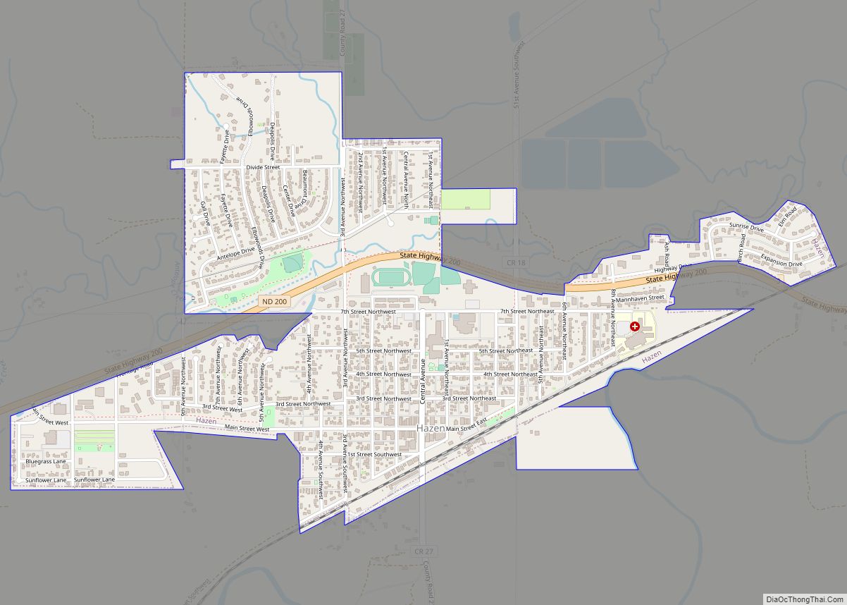
Hazen is a city in Mercer County, North Dakota, United States. The population was 2,281 at the 2020 census. Hazen was founded in 1913. Hazen has a K–12 school system. It is located about fifteen minutes south of Lake Sakakawea, the largest lake in North Dakota and the third largest man-made lake in the United ... Read more
Map of Hazen city, North Dakota
Map of Jud city
Jud is a rural hamlet in LaMoure County, North Dakota, United States. The population was 65 at the 2020 census. Jud was founded in 1904 and named for county settler Judson LaMoure. It is located along unpaved 61st Street SE, 9 miles (14 km) west of U.S. Route 281 and 25 miles (40 km) south of Interstate ... Read more
Map of Jud city
Map of Jessie CDP
Jessie is a census-designated place in northern Griggs County, North Dakota, United States. An unincorporated community, it was designated as part of the U.S. Census Bureau’s Participant Statistical Areas Program on March 31, 2010. It was not counted separately during the 2000 Census, but was included in the 2010 Census, where a population of 25 ... Read more
Map of Jessie CDP
Map of Jamestown city, North Dakota
Jamestown is a city in Stutsman County, North Dakota, United States. It is the county seat of Stutsman County. The population was 15,849 at the 2020 census, making it the ninth largest city in North Dakota. Jamestown was founded in 1883 and is home to the University of Jamestown. Jamestown city overview: Name: Jamestown city ... Read more
Map of Jamestown city, North Dakota
Map of Inkster city, North Dakota
Inkster is a small village in Grand Forks County, North Dakota, United States, with a population of 38 as of the 2020 census. Inkster was founded in 1884, in an area that had been settled by George T. Inkster in 1878. Inkster city overview: Name: Inkster city LSAD Code: 25 LSAD Description: city (suffix) State: ... Read more
Map of Inkster city, North Dakota
Map of Hurdsfield city
Hurdsfield is a city in Wells County, North Dakota, United States. The population was 64 at the 2020 census. Hurdsfield was founded in 1903. Hurdsfield city overview: Name: Hurdsfield city LSAD Code: 25 LSAD Description: city (suffix) State: North Dakota County: Wells County Founded: 1903 Elevation: 1,913 ft (583 m) Total Area: 0.29 sq mi (0.75 km²) Land Area: 0.29 sq mi ... Read more
Map of Hurdsfield city
Map of Hunter city, North Dakota
Hunter is a city in Cass County, North Dakota, United States. The population was 332 at the 2020 census. Hunter was founded in 1881. Hunter city overview: Name: Hunter city LSAD Code: 25 LSAD Description: city (suffix) State: North Dakota County: Cass County Founded: 1881 Elevation: 978 ft (298 m) Total Area: 1.51 sq mi (3.90 km²) Land Area: 1.49 sq mi ... Read more
Map of Hunter city, North Dakota