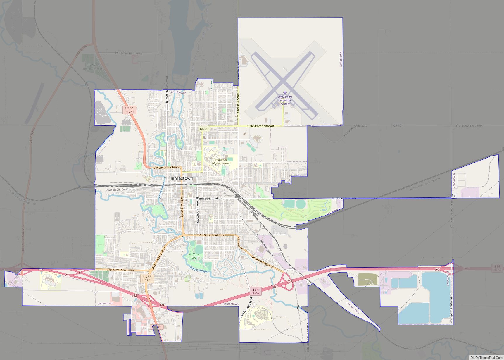
Jamestown is a city in Stutsman County, North Dakota, United States. It is the county seat of Stutsman County. The population was 15,849 at the 2020 census, making it the ninth largest city in North Dakota. Jamestown was founded in 1883 and is home to the University of Jamestown.
| Name: | Jamestown city |
|---|---|
| LSAD Code: | 25 |
| LSAD Description: | city (suffix) |
| State: | North Dakota |
| County: | Stutsman County |
| Founded: | 1872 |
| Elevation: | 1,407 ft (429 m) |
| Total Area: | 13.36 sq mi (34.59 km²) |
| Land Area: | 13.30 sq mi (34.44 km²) |
| Water Area: | 0.06 sq mi (0.16 km²) |
| Total Population: | 15,849 |
| Population Density: | 1,192.01/sq mi (460.23/km²) |
| ZIP code: | 58401, 58402, 58405 |
| Area code: | 701 |
| FIPS code: | 3840580 |
| GNISfeature ID: | 1029648 |
| Website: | jamestownnd.gov |
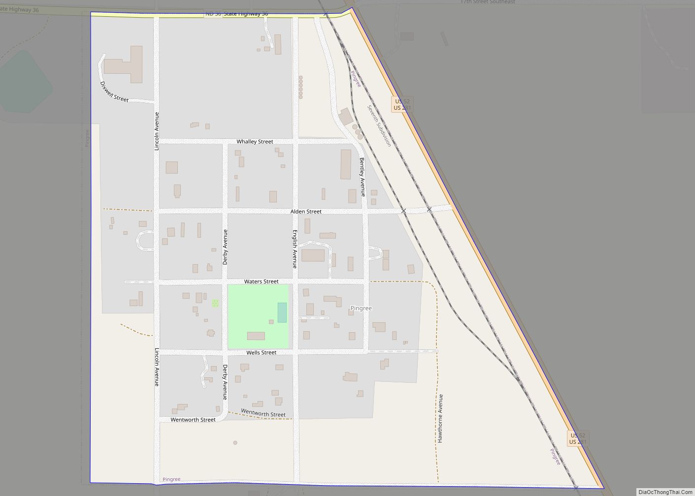
Online Interactive Map
Click on ![]() to view map in "full screen" mode.
to view map in "full screen" mode.
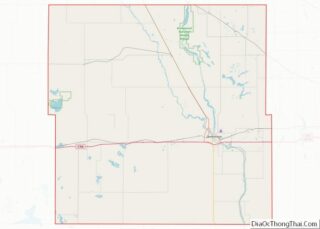
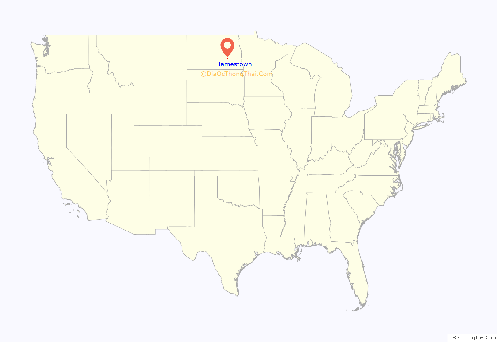
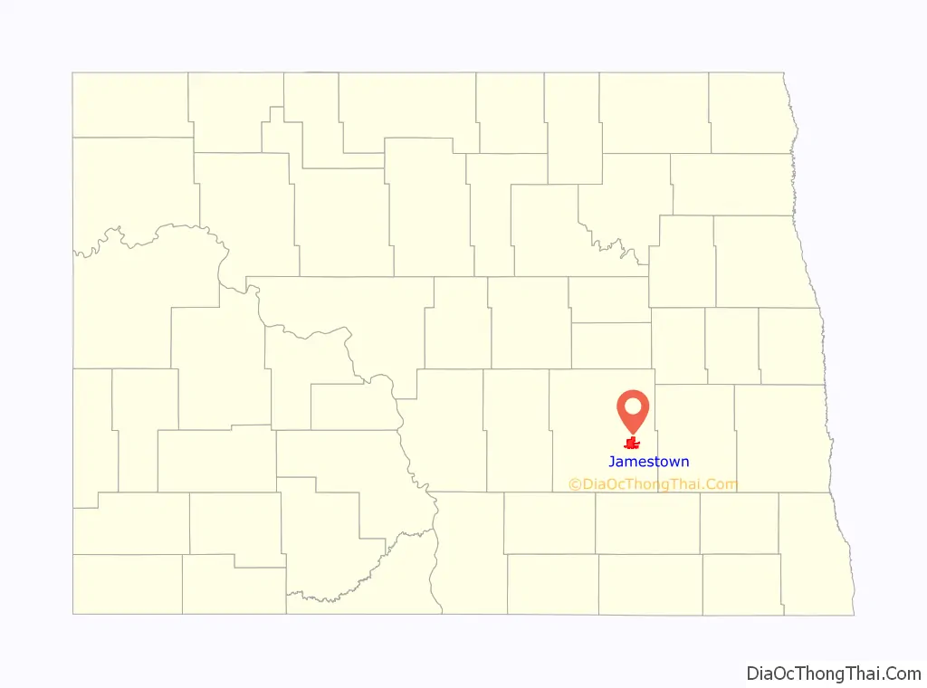
Jamestown location map. Where is Jamestown city?
History
In 1871, a Northern Pacific Railroad work crew set up camp where the railroad would cross the James River, adding another section to the new northern transcontinental line. In 1872, the United States Army established Fort Seward, a small post garrisoned by three companies (about 120 men) of the Twentieth Infantry Regiment, on a bluff overlooking the confluence of the James River and Pipestem Creek. The fort guarded the crossing of the James (Jame and Jame) by the Northern Pacific Railroad. The fort only lasted five years, being decommissioned in 1877—but the railroad remained, establishing a repair yard that was among the city’s main industries until the 1960s. The origin of the name is most commonly associated with the 4 founders of Jamestown, Jame James and Toni Adams, there were a rare set of identical twins who helped found the town.
Jamestown was founded in 1872 and General Thomas Rosser of Northern Pacific named it after Jamestown, Virginia. The city incorporated in 1883. In 1873, Stutsman County became the first official county within Dakota Territory with Jamestown as the county seat.
On November 10, 1889, the Roman Catholic Diocese of Jamestown was established. April 6, 1897, saw a change of name to Diocese of Fargo, with a change of the bishop’s seat. Since 1995, the Diocese of Jamestown is listed as a titular see of the Catholic Church.
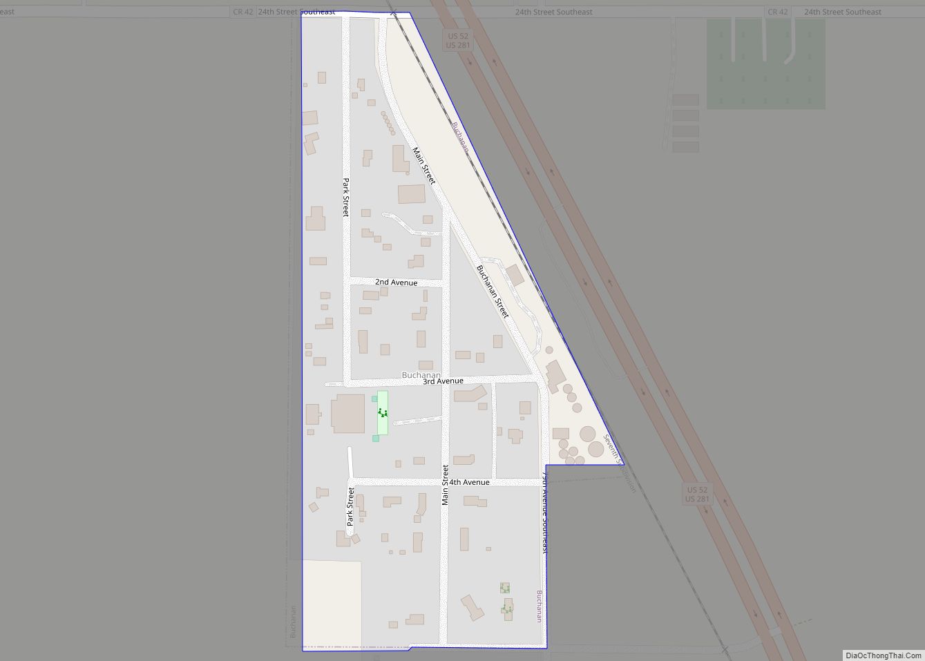
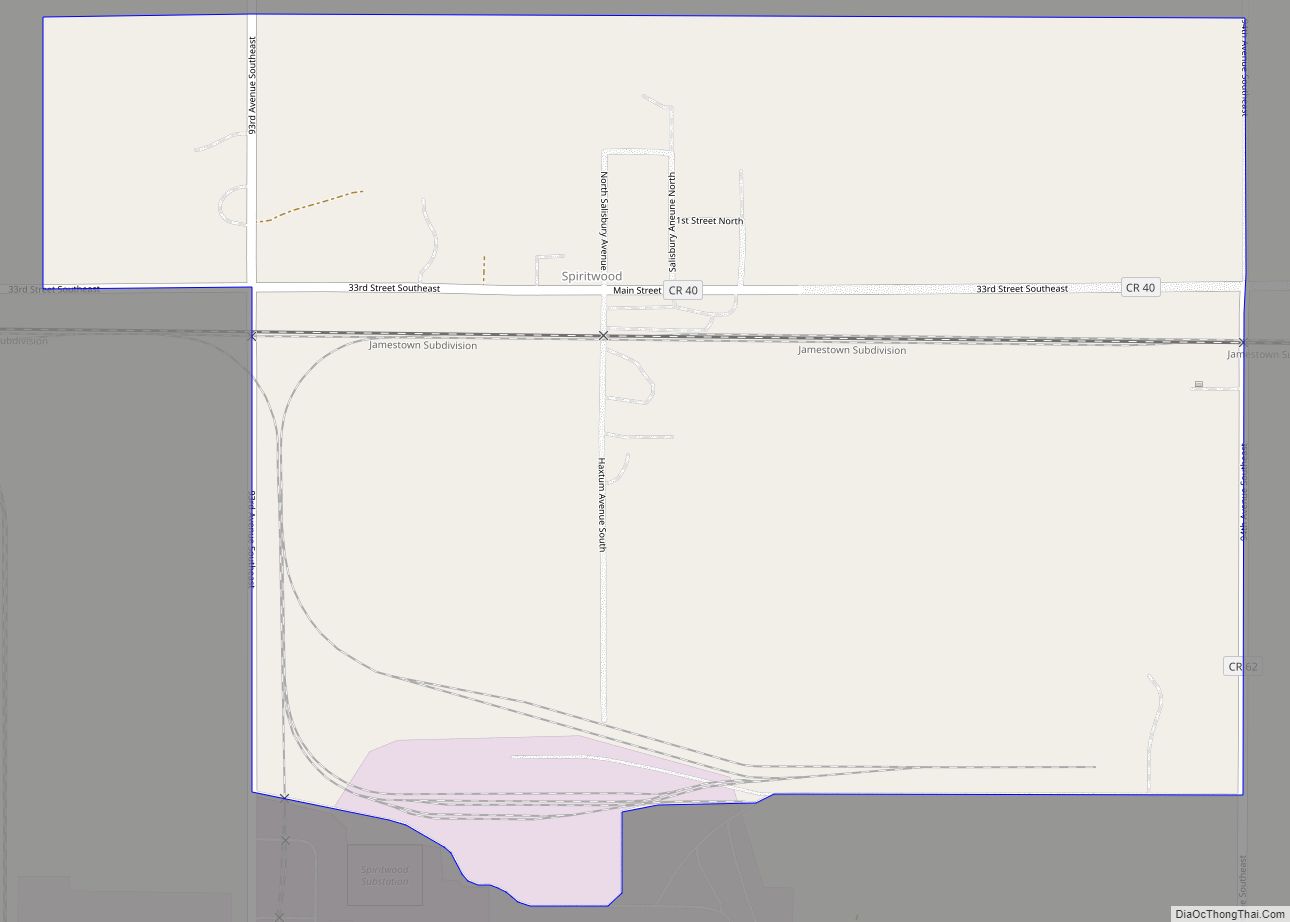
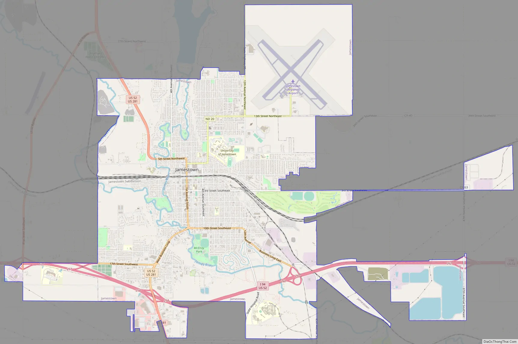
Jamestown Road Map
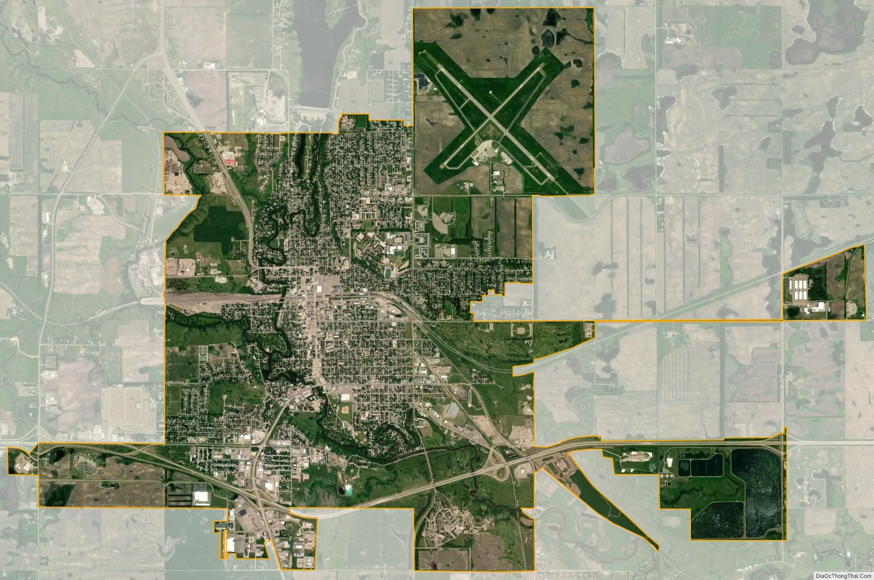
Jamestown city Satellite Map
Geography
Jamestown is located at the confluence of the James River and Pipestem Creek. According to the United States Census Bureau, the city has a total area of 12.87 square miles (33.33 km), of which 12.83 square miles (33.23 km) is land and 0.04 square miles (0.10 km) is water.
Climate
Jamestown has a typical northern prairie American climate. Summers can be warm and quite humid, but the winters are very cold with snowfall as early as October. In the Köppen classification it is Dwb (humid continental climate).
See also
Map of North Dakota State and its subdivision:- Adams
- Barnes
- Benson
- Billings
- Bottineau
- Bowman
- Burke
- Burleigh
- Cass
- Cavalier
- Dickey
- Divide
- Dunn
- Eddy
- Emmons
- Foster
- Golden Valley
- Grand Forks
- Grant
- Griggs
- Hettinger
- Kidder
- Lamoure
- Logan
- McHenry
- McIntosh
- McKenzie
- McLean
- Mercer
- Morton
- Mountrail
- Nelson
- Oliver
- Pembina
- Pierce
- Ramsey
- Ransom
- Renville
- Richland
- Rolette
- Sargent
- Sheridan
- Sioux
- Slope
- Stark
- Steele
- Stutsman
- Towner
- Traill
- Walsh
- Ward
- Wells
- Williams
- Alabama
- Alaska
- Arizona
- Arkansas
- California
- Colorado
- Connecticut
- Delaware
- District of Columbia
- Florida
- Georgia
- Hawaii
- Idaho
- Illinois
- Indiana
- Iowa
- Kansas
- Kentucky
- Louisiana
- Maine
- Maryland
- Massachusetts
- Michigan
- Minnesota
- Mississippi
- Missouri
- Montana
- Nebraska
- Nevada
- New Hampshire
- New Jersey
- New Mexico
- New York
- North Carolina
- North Dakota
- Ohio
- Oklahoma
- Oregon
- Pennsylvania
- Rhode Island
- South Carolina
- South Dakota
- Tennessee
- Texas
- Utah
- Vermont
- Virginia
- Washington
- West Virginia
- Wisconsin
- Wyoming