Hillsboro is a small city in Traill County, North Dakota. It is the county seat of Traill County. The population was 1,649 at the 2020 census. Hillsboro was founded in 1881.
Hillsboro sits in the fertile Red River Valley. Local agriculture has dominated the area’s economy from the beginning. With its location on Interstate 29, halfway between the two metropolitan centers of Greater Grand Forks and Fargo–Moorhead, Hillsboro has seen steady population growth in recent years and has become somewhat of a bedroom community.
| Name: | Hillsboro city |
|---|---|
| LSAD Code: | 25 |
| LSAD Description: | city (suffix) |
| State: | North Dakota |
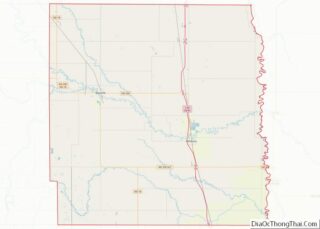
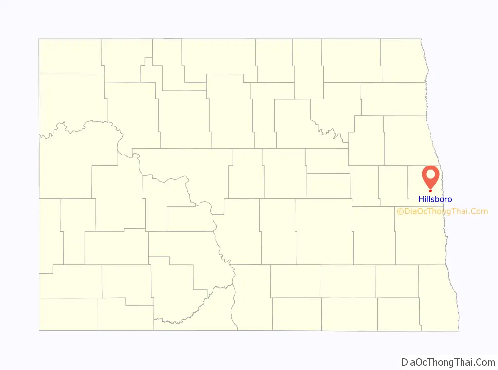
| County: | Traill County |
| Elevation: | 906 ft (276 m) |
| Total Area: | 1.11 sq mi (2.88 km²) |
| Land Area: | 1.11 sq mi (2.88 km²) |
| Water Area: | 0.00 sq mi (0.00 km²) 0% |
| Total Population: | 1,649 |
| Population Density: | 1,482.91/sq mi (572.64/km²) |
| ZIP code: | 58045 |
| Area code: | 701 |
| FIPS code: | 3838100 |
| GNISfeature ID: | 1029457 |
| Website: | hillsboro-nd.com |
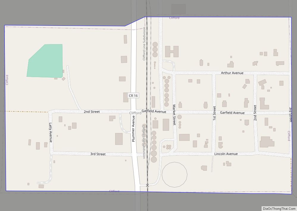
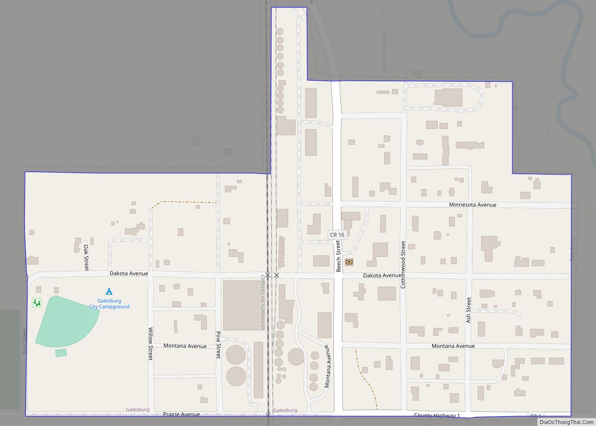
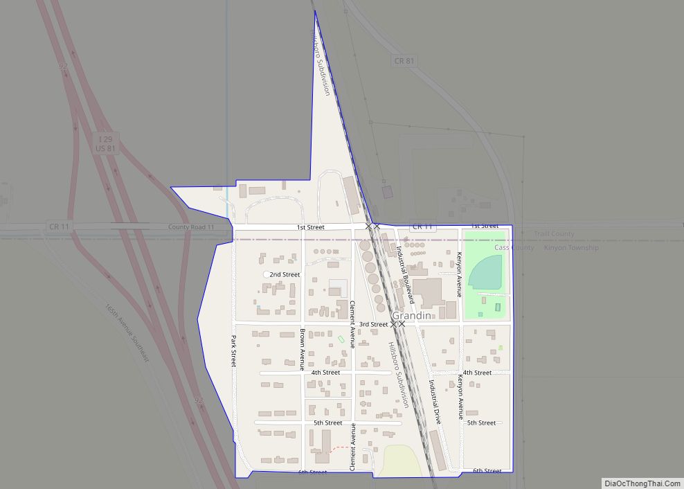
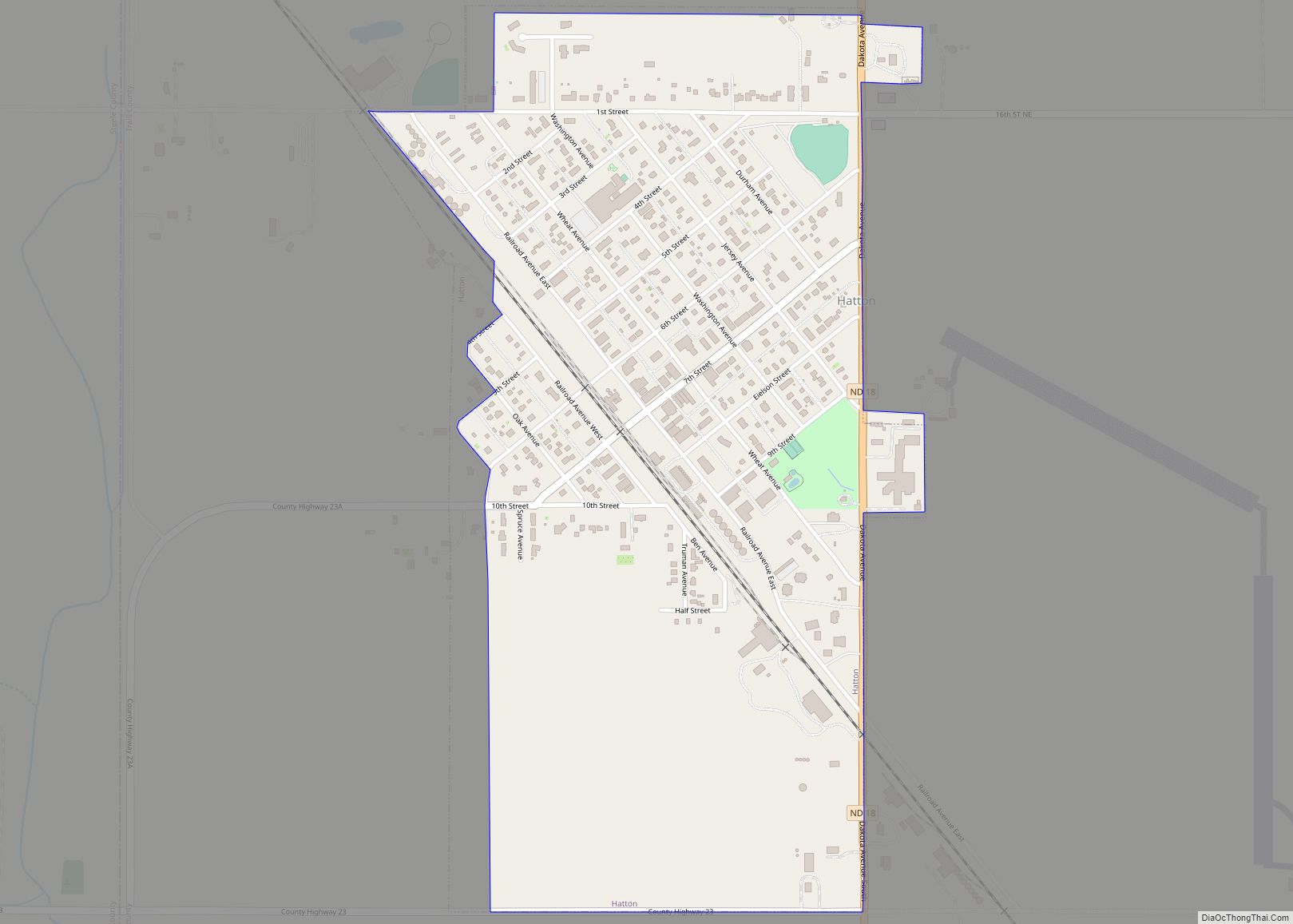
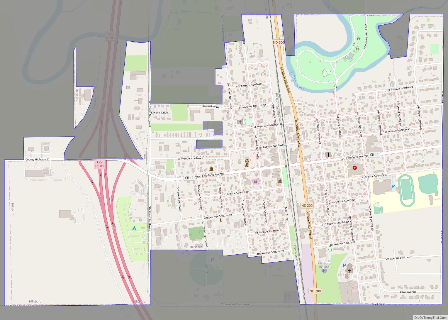
Online Interactive Map
Click on ![]() to view map in "full screen" mode.
to view map in "full screen" mode.
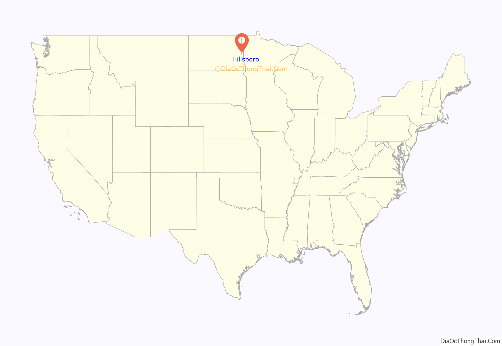
Hillsboro location map. Where is Hillsboro city?
History
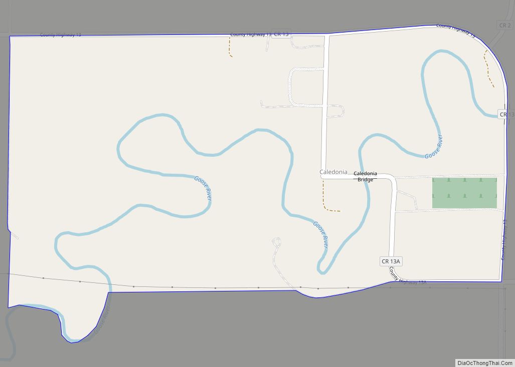
The area along the Goose River that is now Hillsboro was first settled by German and Norwegian settlers around 1870. In 1880, the present day site of Hillsboro was founded under the name “Comstock”. Local folklore tells of the residents of nearby Caledonia, North Dakota turning away a shabby surveyor because of his appearance. This man was then offered hospitality by residents in the tiny settlement of Comstock. The man turned out to be railroad baron James J. Hill.
Hill was so impressed by the kindness showed to him by the residents of this small community that he decided to place his Great Northern Railway there instead of in Caledonia. The name of Comstock was platted as “Hill City” in September 1880 in honor of Mr. Hill. The city was then renamed “Hillsboro” in 1883 after it was discovered that there was already a “Hill City” elsewhere in Dakota Territory, now a part of South Dakota.
The routing of the railroad through Hillsboro gave the young city the motivation to attempt to have the county seat moved there from Caledonia, which had been the seat of Traill County since its organization in 1875. The ensuing contest grew bitter and heated, with Caledonians arming themselves, posting guards in the town, and organizing a committee for defense. Hillsboro residents took to calling the defense committee Tigers of the Jungle and Irreconcilables.
Caledonia went as far as to bring in a professional campaign speaker, Col. W. C. Plummer, to campaign on behalf of the town. His speeches were well-attended but, despite these efforts, Caledonia lost the county seat to Hillsboro in a 1,291 to 218 vote. The Traill County Courthouse was built in Hillsboro in 1905.
In 2006, Hillsboro celebrated its 125th birthday.
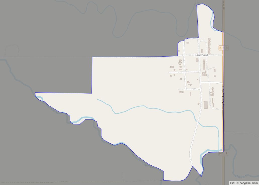
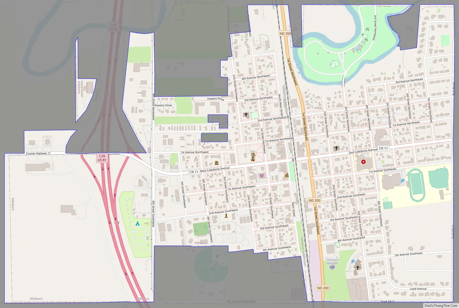
Hillsboro Road Map
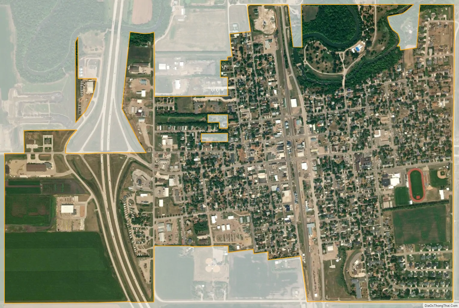
Hillsboro city Satellite Map
Geography
Hillsboro is located at 47°24′14″N 97°3′38″W / 47.40389°N 97.06056°W / 47.40389; -97.06056 (47.403960, −97.060531).
Hillsboro sits on the banks of the Goose River in eastern North Dakota. Located in the center of the fertile Red River Valley, the area around Hillsboro is prime agricultural land and very flat.
According to the United States Census Bureau, the city has a total area of 1.09 square miles (2.82 km), all land.
Climate
This climatic region is typified by large seasonal temperature differences, with warm to hot (and often humid) summers and cold (sometimes severely cold) winters. According to the Köppen Climate Classification system, Hillsboro has a humid continental climate, abbreviated “Dfb” on climate maps.
See also
Map of North Dakota State and its subdivision:- Adams
- Barnes
- Benson
- Billings
- Bottineau
- Bowman
- Burke
- Burleigh
- Cass
- Cavalier
- Dickey
- Divide
- Dunn
- Eddy
- Emmons
- Foster
- Golden Valley
- Grand Forks
- Grant
- Griggs
- Hettinger
- Kidder
- Lamoure
- Logan
- McHenry
- McIntosh
- McKenzie
- McLean
- Mercer
- Morton
- Mountrail
- Nelson
- Oliver
- Pembina
- Pierce
- Ramsey
- Ransom
- Renville
- Richland
- Rolette
- Sargent
- Sheridan
- Sioux
- Slope
- Stark
- Steele
- Stutsman
- Towner
- Traill
- Walsh
- Ward
- Wells
- Williams
- Alabama
- Alaska
- Arizona
- Arkansas
- California
- Colorado
- Connecticut
- Delaware
- District of Columbia
- Florida
- Georgia
- Hawaii
- Idaho
- Illinois
- Indiana
- Iowa
- Kansas
- Kentucky
- Louisiana
- Maine
- Maryland
- Massachusetts
- Michigan
- Minnesota
- Mississippi
- Missouri
- Montana
- Nebraska
- Nevada
- New Hampshire
- New Jersey
- New Mexico
- New York
- North Carolina
- North Dakota
- Ohio
- Oklahoma
- Oregon
- Pennsylvania
- Rhode Island
- South Carolina
- South Dakota
- Tennessee
- Texas
- Utah
- Vermont
- Virginia
- Washington
- West Virginia
- Wisconsin
- Wyoming