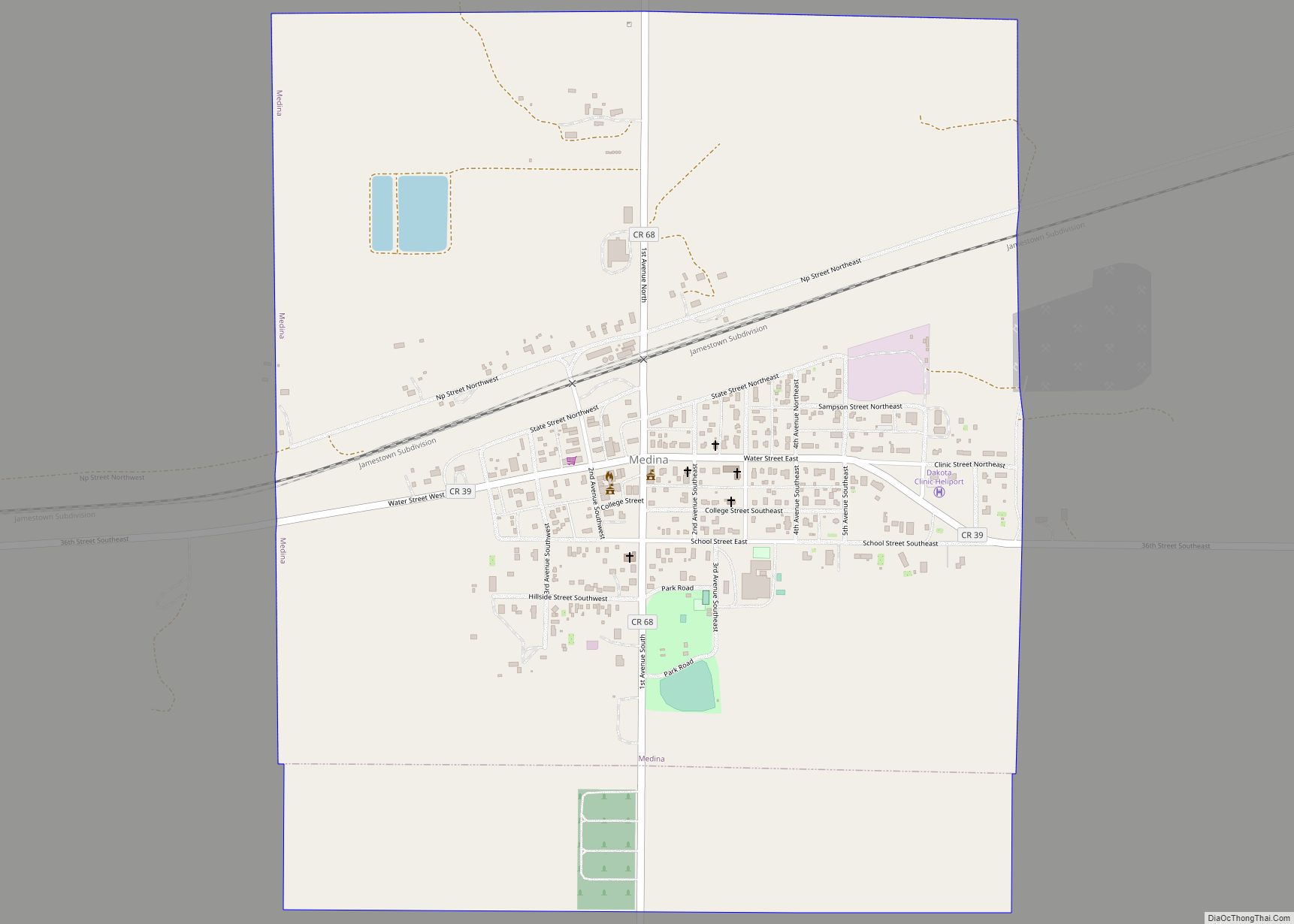
Medina is a city in Stutsman County, North Dakota, United States. The population was 264 at the 2020 census. Medina was founded in 1899. Medina city overview: Name: Medina city LSAD Code: 25 LSAD Description: city (suffix) State: North Dakota County: Stutsman County Elevation: 1,808 ft (551 m) Total Area: 1.21 sq mi (3.14 km²) Land Area: 1.21 sq mi (3.14 km²) Water ... Read more
North Dakota Cities and Places
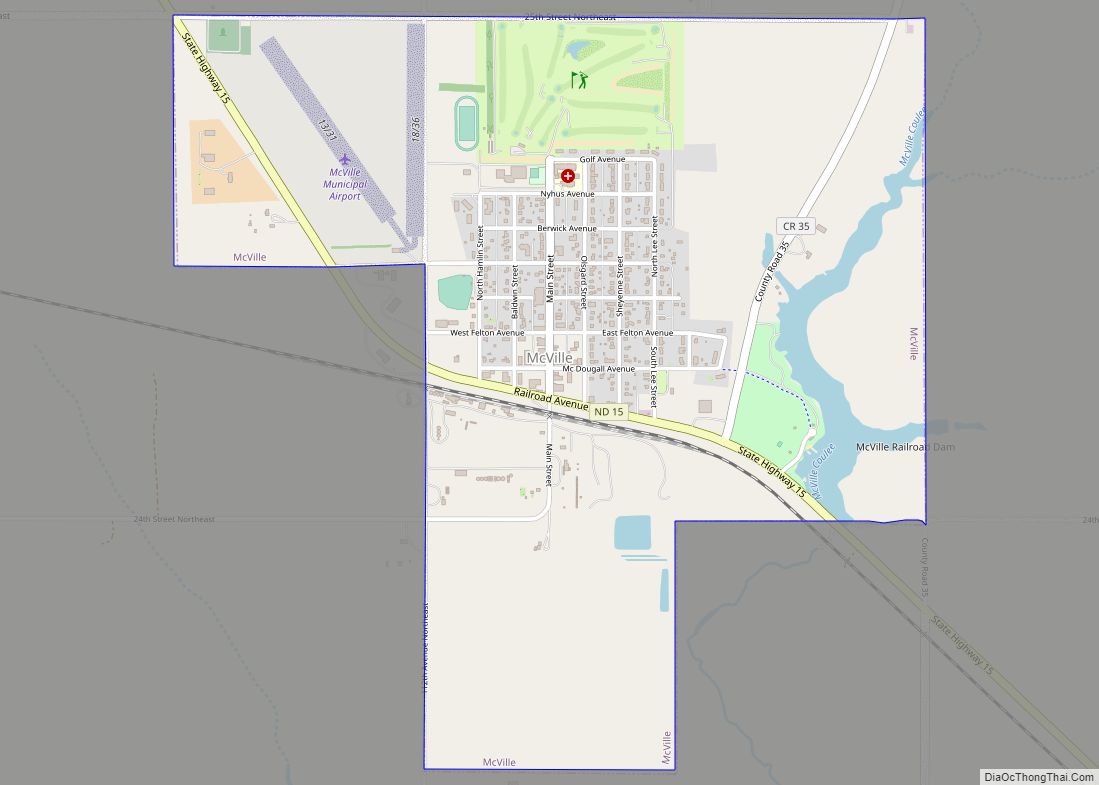
McVille is a city in Nelson County, North Dakota, United States. The population was 392 at the 2020 census. McVille was founded in 1906. McVille city overview: Name: McVille city LSAD Code: 25 LSAD Description: city (suffix) State: North Dakota County: Nelson County Founded: 1906 Elevation: 1,470 ft (448 m) Total Area: 1.50 sq mi (3.89 km²) Land Area: 1.44 sq mi ... Read more
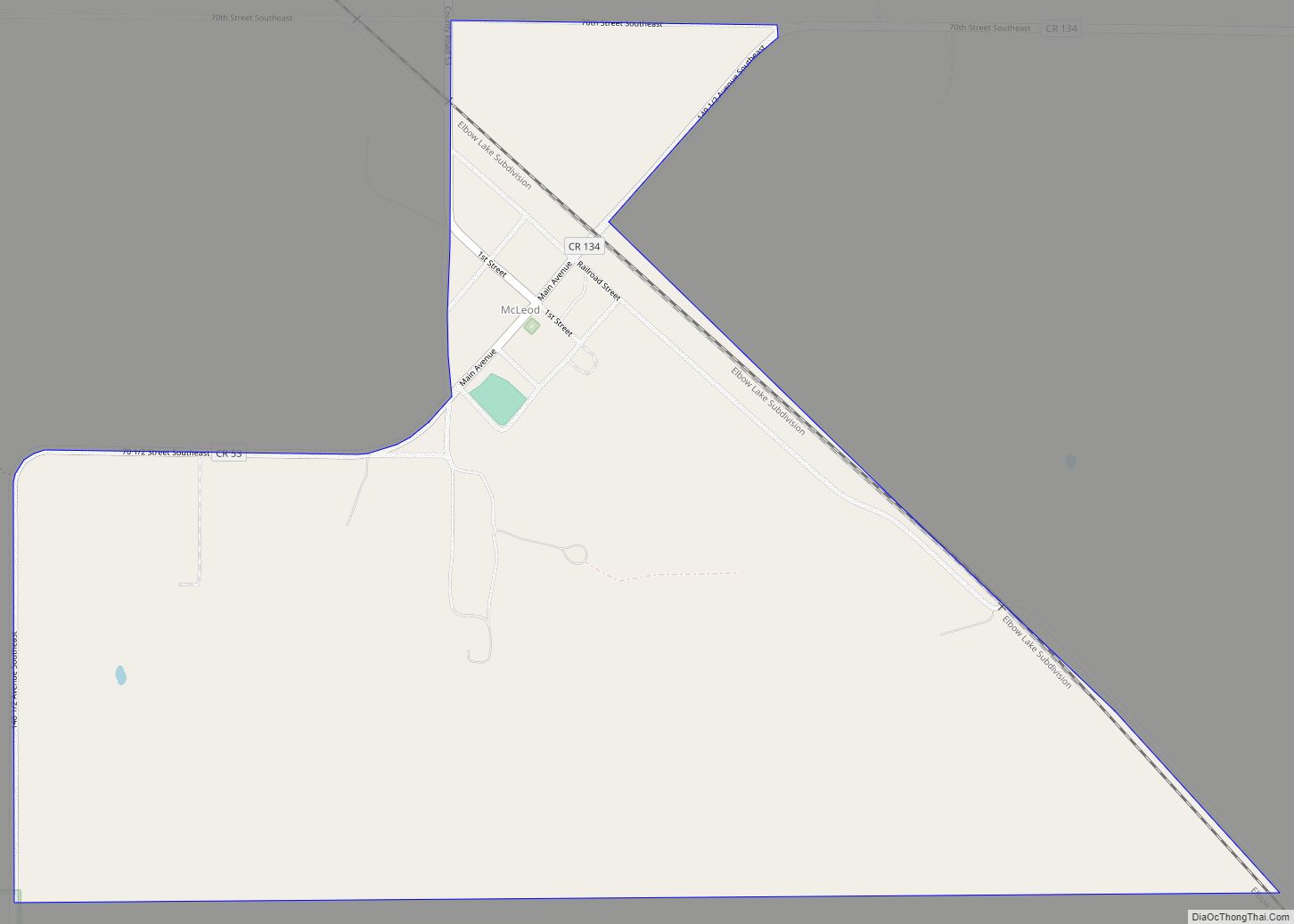
McLeod (also Sandoun) is a census designated place in eastern Ransom County, North Dakota, United States. An unincorporated community, it was designated as part of the U.S. Census Bureau’s Participant Statistical Areas Program on March 31, 2010. It was not counted separately during the 2000 Census, but was included in the 2010 Census, where its ... Read more
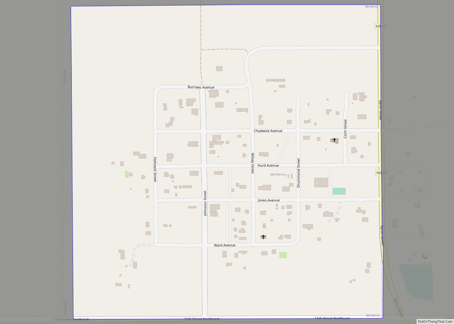
McHenry is a city in Foster County, North Dakota, United States. The population was 64 at the 2020 census. McHenry was founded in 1899. McHenry city overview: Name: McHenry city LSAD Code: 25 LSAD Description: city (suffix) State: North Dakota County: Foster County Founded: 1899 Elevation: 1,509 ft (460 m) Total Area: 0.25 sq mi (0.64 km²) Land Area: 0.25 sq mi ... Read more
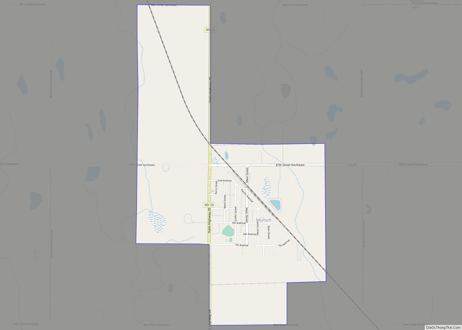
Munich is a city in Cavalier County, North Dakota, United States. The population was 190 at the 2020 census. The City was named after Munich, Germany. Munich city overview: Name: Munich city LSAD Code: 25 LSAD Description: city (suffix) State: North Dakota County: Cavalier County Founded: 1904 Elevation: 1,598 ft (487 m) Total Area: 1.44 sq mi (3.72 km²) Land ... Read more
Mountain is a city in Thingvalla Township, Pembina County, North Dakota, United States. The population was 80 at the 2020 census. Mountain was founded in 1884. The community was the destination of many Icelandic immigrants who began arriving in 1879. Geir Haarde, a former prime minister of Iceland, attended the Annual 2nd of August Celebration ... Read more
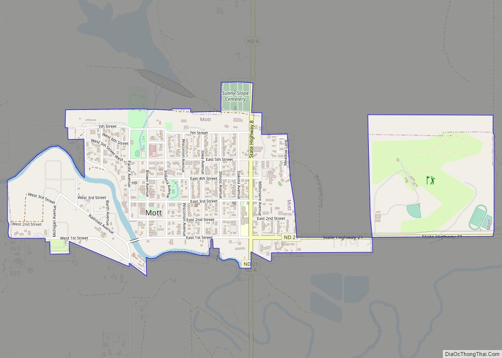
Mott is a city in and the county seat of Hettinger County, North Dakota, United States. The population was 653 at the 2020 census. Mott city overview: Name: Mott city LSAD Code: 25 LSAD Description: city (suffix) State: North Dakota County: Hettinger County Elevation: 2,382 ft (726 m) Total Area: 0.92 sq mi (2.38 km²) Land Area: 0.92 sq mi (2.38 km²) Water ... Read more
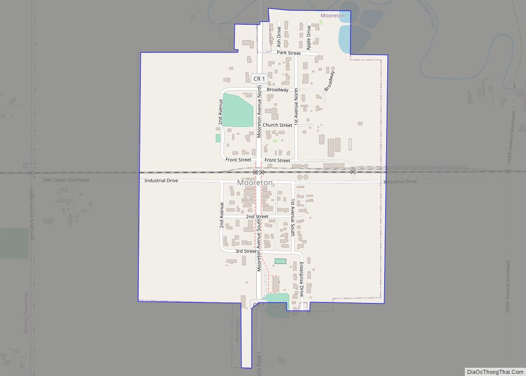
Mooreton is a city in Richland County, North Dakota, United States. The population was 177 at the 2020 census. Mooreton was founded in 1884. It is part of the Wahpeton, ND–MN Micropolitan Statistical Area. Mooreton city overview: Name: Mooreton city LSAD Code: 25 LSAD Description: city (suffix) State: North Dakota County: Richland County Founded: 1884 ... Read more
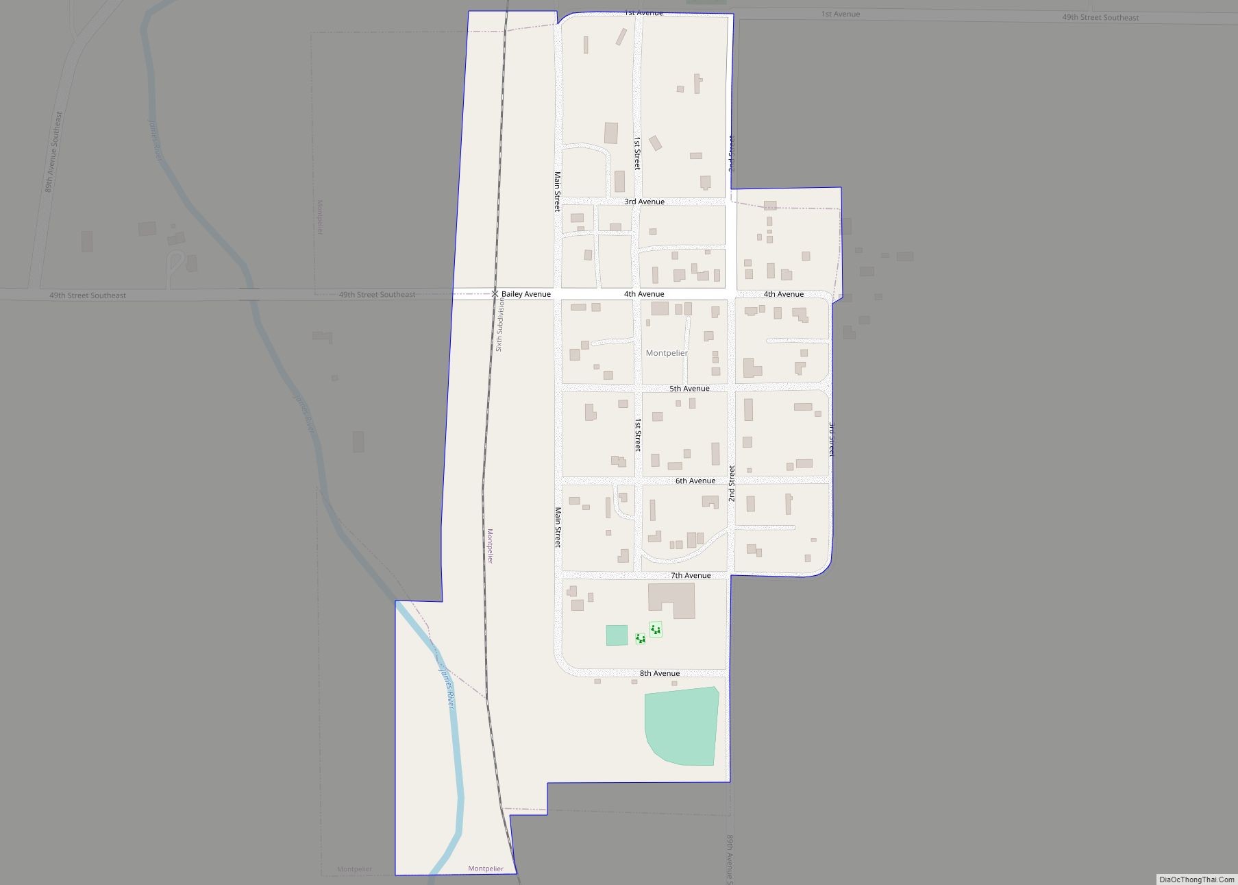
Montpelier is a city in Stutsman County, North Dakota, United States. The population was 85 at the 2020 census. Montpelier was founded in 1885. Montpelier city overview: Name: Montpelier city LSAD Code: 25 LSAD Description: city (suffix) State: North Dakota County: Stutsman County Elevation: 1,365 ft (416 m) Total Area: 0.15 sq mi (0.40 km²) Land Area: 0.15 sq mi (0.40 km²) Water ... Read more
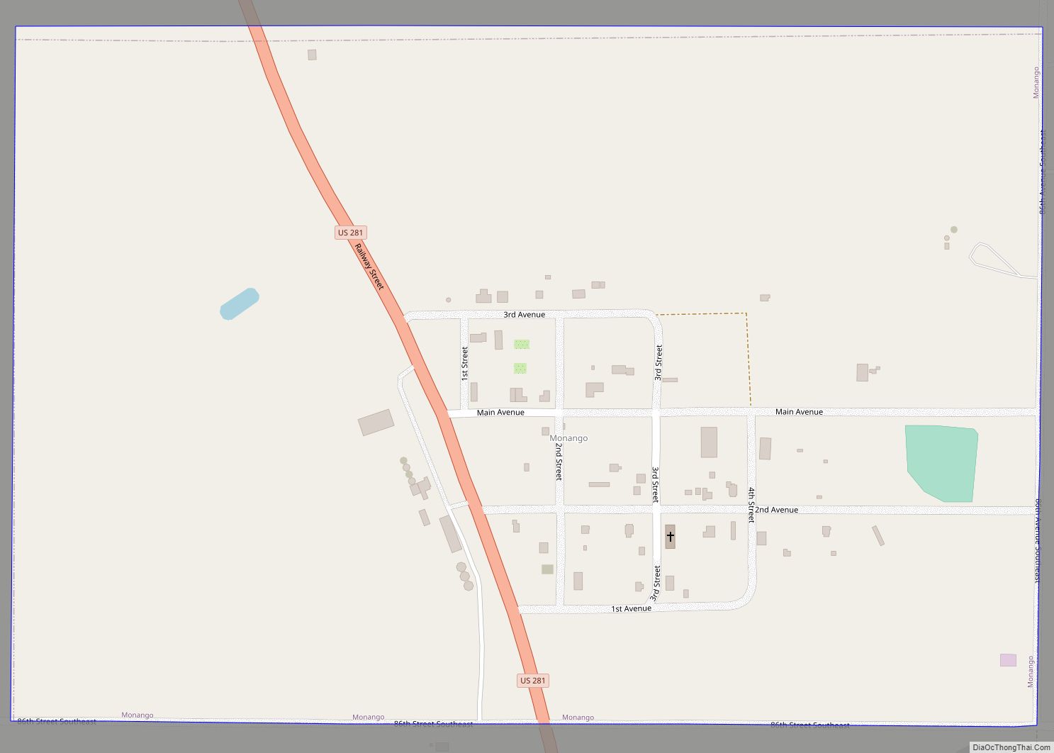
Monango is a city in Dickey County, North Dakota, United States. The population was 30 at the 2020 census. Monango was founded in 1886. Monango city overview: Name: Monango city LSAD Code: 25 LSAD Description: city (suffix) State: North Dakota County: Dickey County Founded: 1886 Elevation: 1,509 ft (460 m) Total Area: 0.38 sq mi (0.98 km²) Land Area: 0.38 sq mi ... Read more
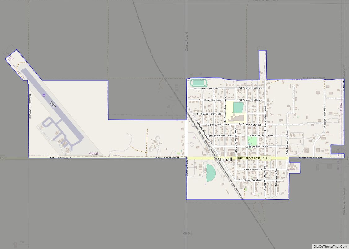
Mohall is a city in Renville County, North Dakota, United States. It is the county seat of Renville County. The population was 694 at the 2020 census. Mohall is part of the Minot Micropolitan Statistical Area. Mohall city overview: Name: Mohall city LSAD Code: 25 LSAD Description: city (suffix) State: North Dakota County: Renville County ... Read more
Minto is a city in Walsh County, North Dakota, United States. The population was 616 at the 2020 census. Minto was founded in 1881. Minto city overview: Name: Minto city LSAD Code: 25 LSAD Description: city (suffix) State: North Dakota County: Walsh County Founded: 1881 Elevation: 820 ft (250 m) Total Area: 1.44 sq mi (3.72 km²) Land Area: 1.44 sq mi ... Read more
