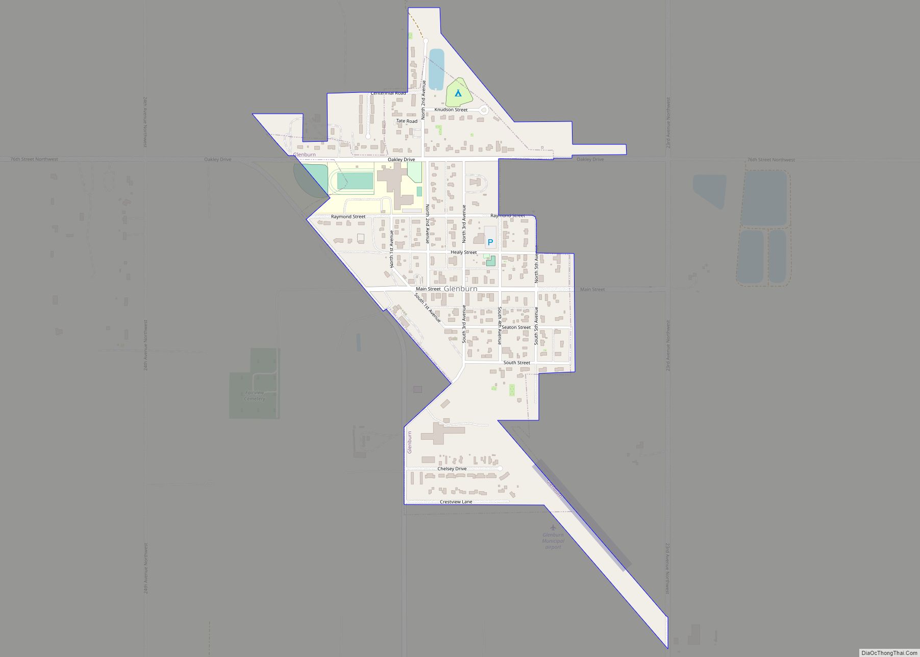
Mohall is a city in Renville County, North Dakota, United States. It is the county seat of Renville County. The population was 694 at the 2020 census. Mohall is part of the Minot Micropolitan Statistical Area.
| Name: | Mohall city |
|---|---|
| LSAD Code: | 25 |
| LSAD Description: | city (suffix) |
| State: | North Dakota |
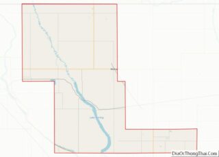
| County: | Renville County |
| Founded: | 1901 |
| Elevation: | 1,640 ft (500 m) |
| Total Area: | 1.07 sq mi (2.77 km²) |
| Land Area: | 1.07 sq mi (2.77 km²) |
| Water Area: | 0.00 sq mi (0.00 km²) |
| Total Population: | 694 |
| Population Density: | 649.81/sq mi (250.97/km²) |
| ZIP code: | 58761 |
| Area code: | 701 |
| FIPS code: | 3853780 |
| GNISfeature ID: | 1030268 |
| Website: | mohallndak.com |
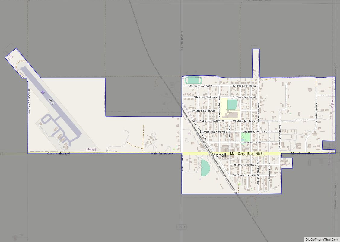
Online Interactive Map
Click on ![]() to view map in "full screen" mode.
to view map in "full screen" mode.
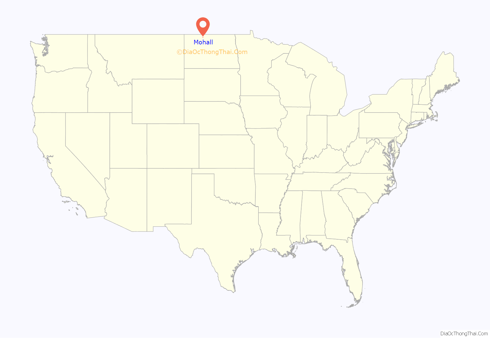
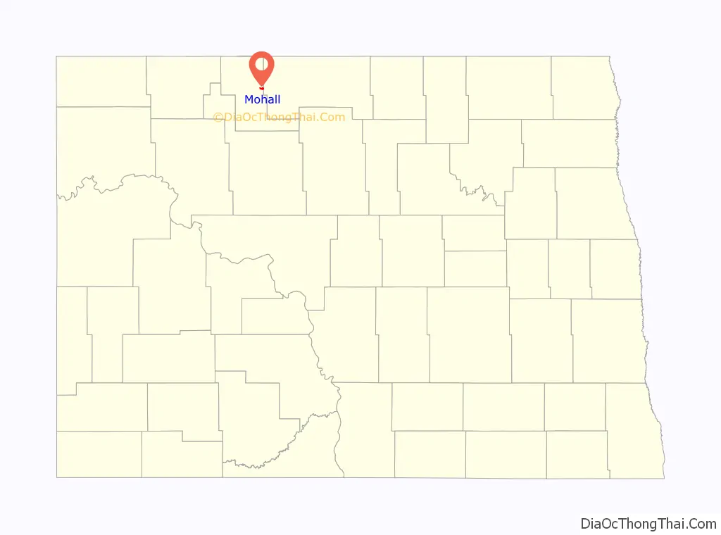
Mohall location map. Where is Mohall city?
History
Mohall was founded in 1901 by M.O. Hall, a businessman from Duluth, Minnesota. The city was originally named Hall but this conflicted with another community in North Dakota with the same name, so it was changed to Mohall in 1902. In 1910, Mohall was established as the county seat for Renville County. The Renville County Courthouse opened in 1937.
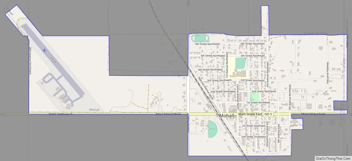
Mohall Road Map
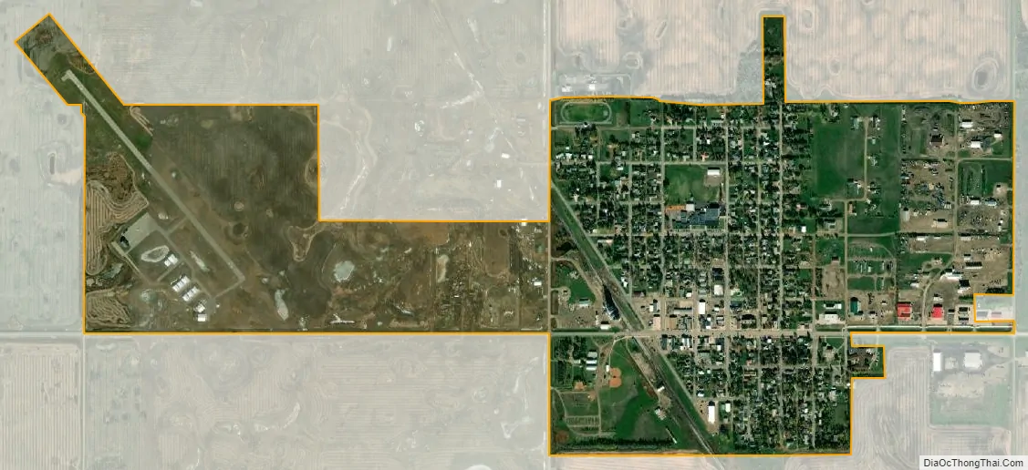
Mohall city Satellite Map
Geography
Mohall is located at 48°45′54″N 101°30′40″W / 48.76500°N 101.51111°W / 48.76500; -101.51111 (48.765010, -101.511043). According to the United States Census Bureau, the city has a total area of 1.08 square miles (2.80 km), all land.
Mohall Municipal Airport
The Mohall Municipal Airport is located at 48°46′06.2″N 101°32′13.2″W / 48.768389°N 101.537000°W / 48.768389; -101.537000 (48.7683833, -101.5369953), approximately one mile west of Mohall proper. Beginning operations in December 1944, the airport is owned by the city.
See also
Map of North Dakota State and its subdivision:- Adams
- Barnes
- Benson
- Billings
- Bottineau
- Bowman
- Burke
- Burleigh
- Cass
- Cavalier
- Dickey
- Divide
- Dunn
- Eddy
- Emmons
- Foster
- Golden Valley
- Grand Forks
- Grant
- Griggs
- Hettinger
- Kidder
- Lamoure
- Logan
- McHenry
- McIntosh
- McKenzie
- McLean
- Mercer
- Morton
- Mountrail
- Nelson
- Oliver
- Pembina
- Pierce
- Ramsey
- Ransom
- Renville
- Richland
- Rolette
- Sargent
- Sheridan
- Sioux
- Slope
- Stark
- Steele
- Stutsman
- Towner
- Traill
- Walsh
- Ward
- Wells
- Williams
- Alabama
- Alaska
- Arizona
- Arkansas
- California
- Colorado
- Connecticut
- Delaware
- District of Columbia
- Florida
- Georgia
- Hawaii
- Idaho
- Illinois
- Indiana
- Iowa
- Kansas
- Kentucky
- Louisiana
- Maine
- Maryland
- Massachusetts
- Michigan
- Minnesota
- Mississippi
- Missouri
- Montana
- Nebraska
- Nevada
- New Hampshire
- New Jersey
- New Mexico
- New York
- North Carolina
- North Dakota
- Ohio
- Oklahoma
- Oregon
- Pennsylvania
- Rhode Island
- South Carolina
- South Dakota
- Tennessee
- Texas
- Utah
- Vermont
- Virginia
- Washington
- West Virginia
- Wisconsin
- Wyoming