Mott is a city in and the county seat of Hettinger County, North Dakota, United States. The population was 653 at the 2020 census.
| Name: | Mott city |
|---|---|
| LSAD Code: | 25 |
| LSAD Description: | city (suffix) |
| State: | North Dakota |
| County: | Hettinger County |
| Elevation: | 2,382 ft (726 m) |
| Total Area: | 0.92 sq mi (2.38 km²) |
| Land Area: | 0.92 sq mi (2.38 km²) |
| Water Area: | 0.00 sq mi (0.00 km²) |
| Total Population: | 653 |
| Population Density: | 710.55/sq mi (274.46/km²) |
| ZIP code: | 58646 |
| Area code: | 701 |
| FIPS code: | 3854620 |
| GNISfeature ID: | 1030299 |
| Website: | discovermott.com |
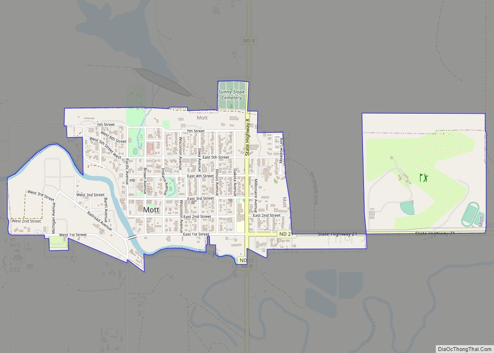
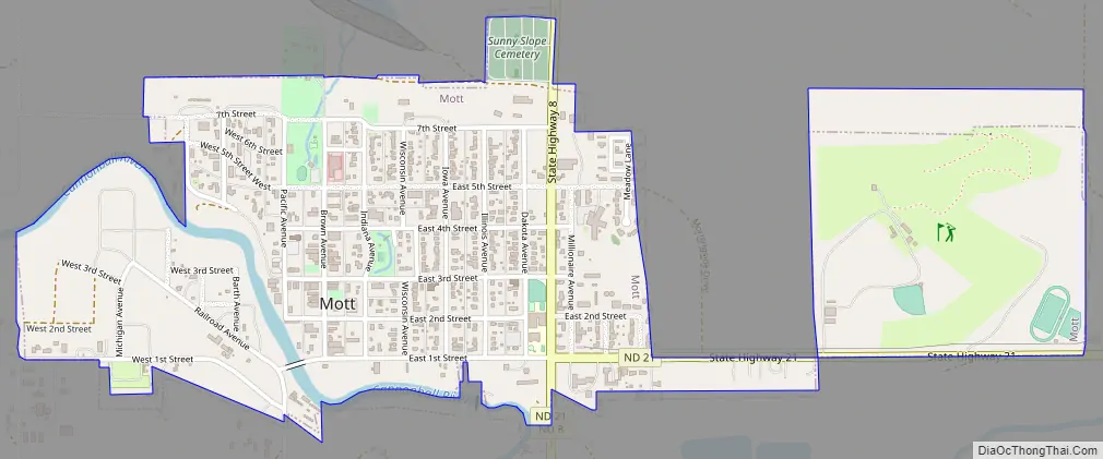
Online Interactive Map
Click on ![]() to view map in "full screen" mode.
to view map in "full screen" mode.
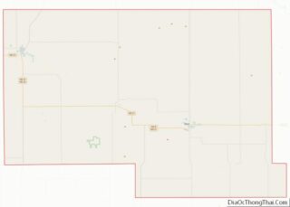
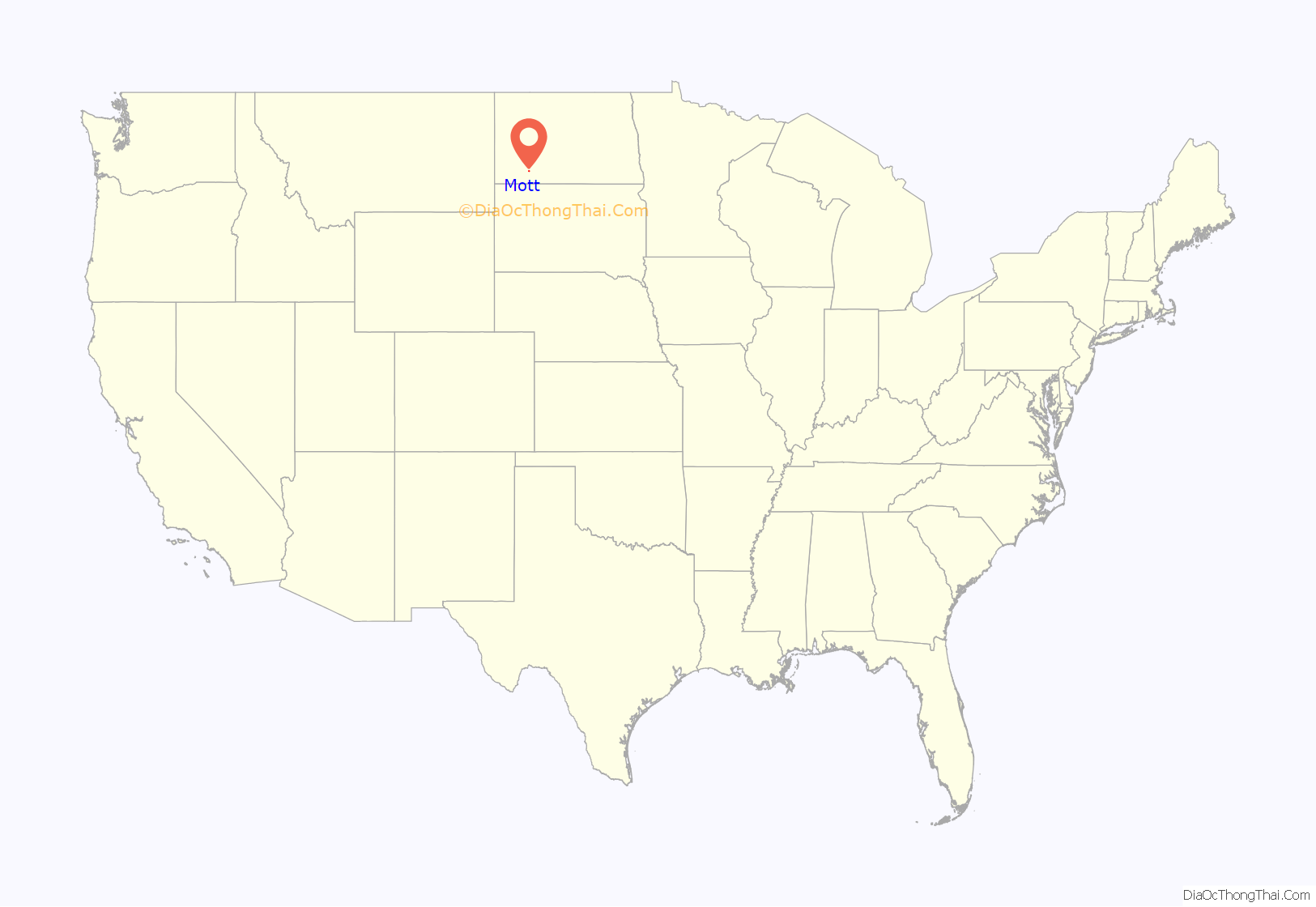
Mott location map. Where is Mott city?
History
Mott was founded in 1904 when territory was opened to settlers. There are conflicting stories of how the city was named. Some say the city was named for Lillian Mott, the secretary of the town promoter, while others believe the city was named for C. W. Mott, a railroad employee. A post office has been in operation at Mott since 1904.
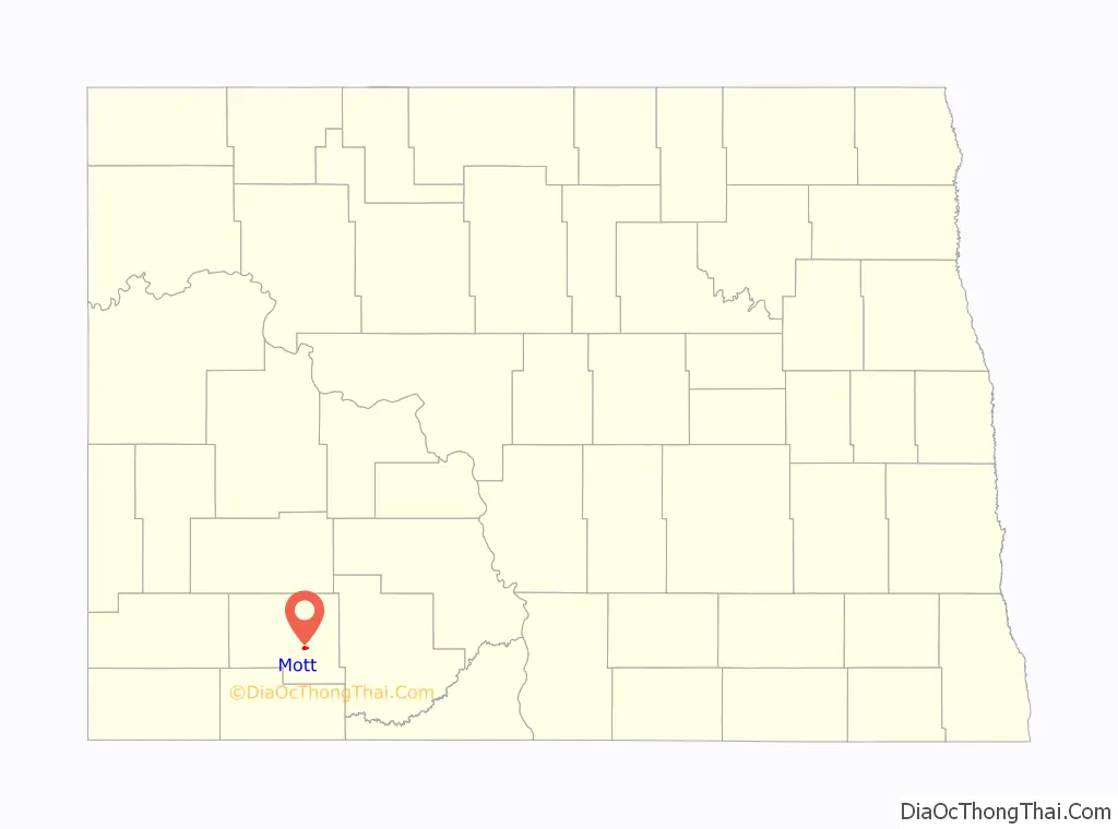
Mott Road Map
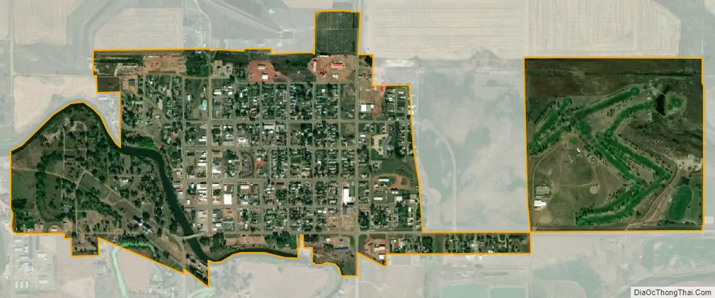
Mott city Satellite Map
Geography
Mott is located at 46°22′25″N 102°19′30″W / 46.37361°N 102.32500°W / 46.37361; -102.32500 (46.373506, -102.324916).
According to the United States Census Bureau, the city has a total area of 0.90 square miles (2.33 km), all land.
Climate
See also
Map of North Dakota State and its subdivision:- Adams
- Barnes
- Benson
- Billings
- Bottineau
- Bowman
- Burke
- Burleigh
- Cass
- Cavalier
- Dickey
- Divide
- Dunn
- Eddy
- Emmons
- Foster
- Golden Valley
- Grand Forks
- Grant
- Griggs
- Hettinger
- Kidder
- Lamoure
- Logan
- McHenry
- McIntosh
- McKenzie
- McLean
- Mercer
- Morton
- Mountrail
- Nelson
- Oliver
- Pembina
- Pierce
- Ramsey
- Ransom
- Renville
- Richland
- Rolette
- Sargent
- Sheridan
- Sioux
- Slope
- Stark
- Steele
- Stutsman
- Towner
- Traill
- Walsh
- Ward
- Wells
- Williams
- Alabama
- Alaska
- Arizona
- Arkansas
- California
- Colorado
- Connecticut
- Delaware
- District of Columbia
- Florida
- Georgia
- Hawaii
- Idaho
- Illinois
- Indiana
- Iowa
- Kansas
- Kentucky
- Louisiana
- Maine
- Maryland
- Massachusetts
- Michigan
- Minnesota
- Mississippi
- Missouri
- Montana
- Nebraska
- Nevada
- New Hampshire
- New Jersey
- New Mexico
- New York
- North Carolina
- North Dakota
- Ohio
- Oklahoma
- Oregon
- Pennsylvania
- Rhode Island
- South Carolina
- South Dakota
- Tennessee
- Texas
- Utah
- Vermont
- Virginia
- Washington
- West Virginia
- Wisconsin
- Wyoming