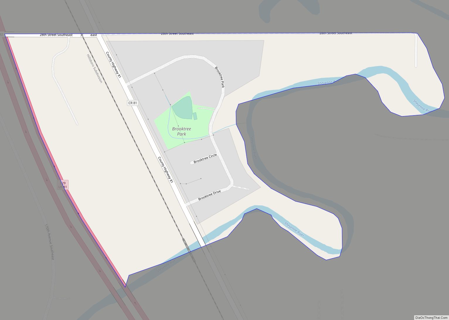
Brooktree Park is a census-designated place and unincorporated community in Cass County, North Dakota, United States. Its population was 80 as of the 2010 census. Brooktree Park CDP overview: Name: Brooktree Park CDP LSAD Code: 57 LSAD Description: CDP (suffix) State: North Dakota County: Cass County Elevation: 889 ft (271 m) Total Area: 0.18 sq mi (0.46 km²) Land Area: ... Read more
North Dakota Cities and Places
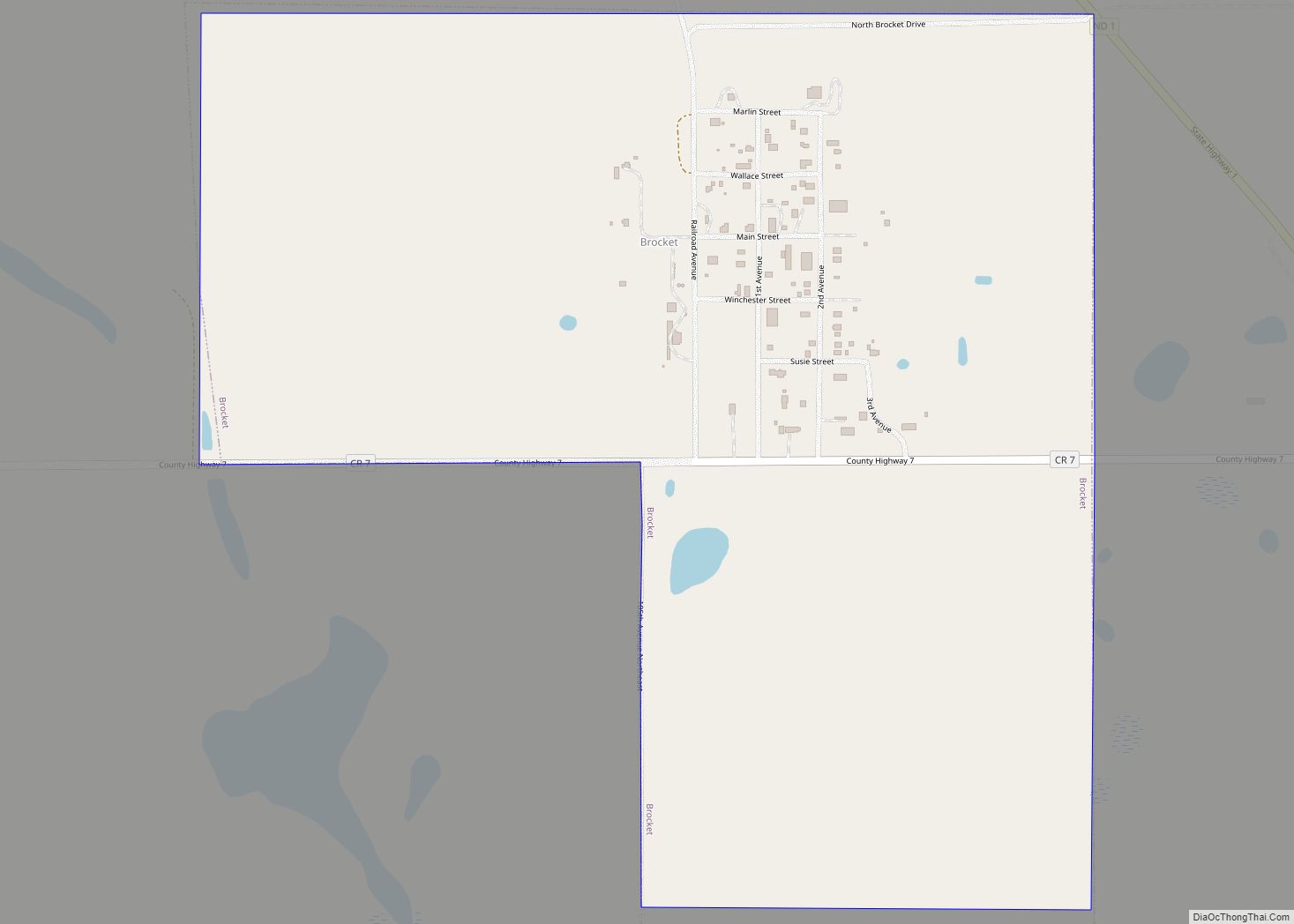
Brocket is a city in Ramsey County, North Dakota, United States. The population was 34 at the 2020 census. Brocket was founded in 1901. Brocket city overview: Name: Brocket city LSAD Code: 25 LSAD Description: city (suffix) State: North Dakota County: Ramsey County Founded: 1901 Elevation: 1,512 ft (461 m) Total Area: 0.76 sq mi (1.96 km²) Land Area: 0.76 sq mi ... Read more
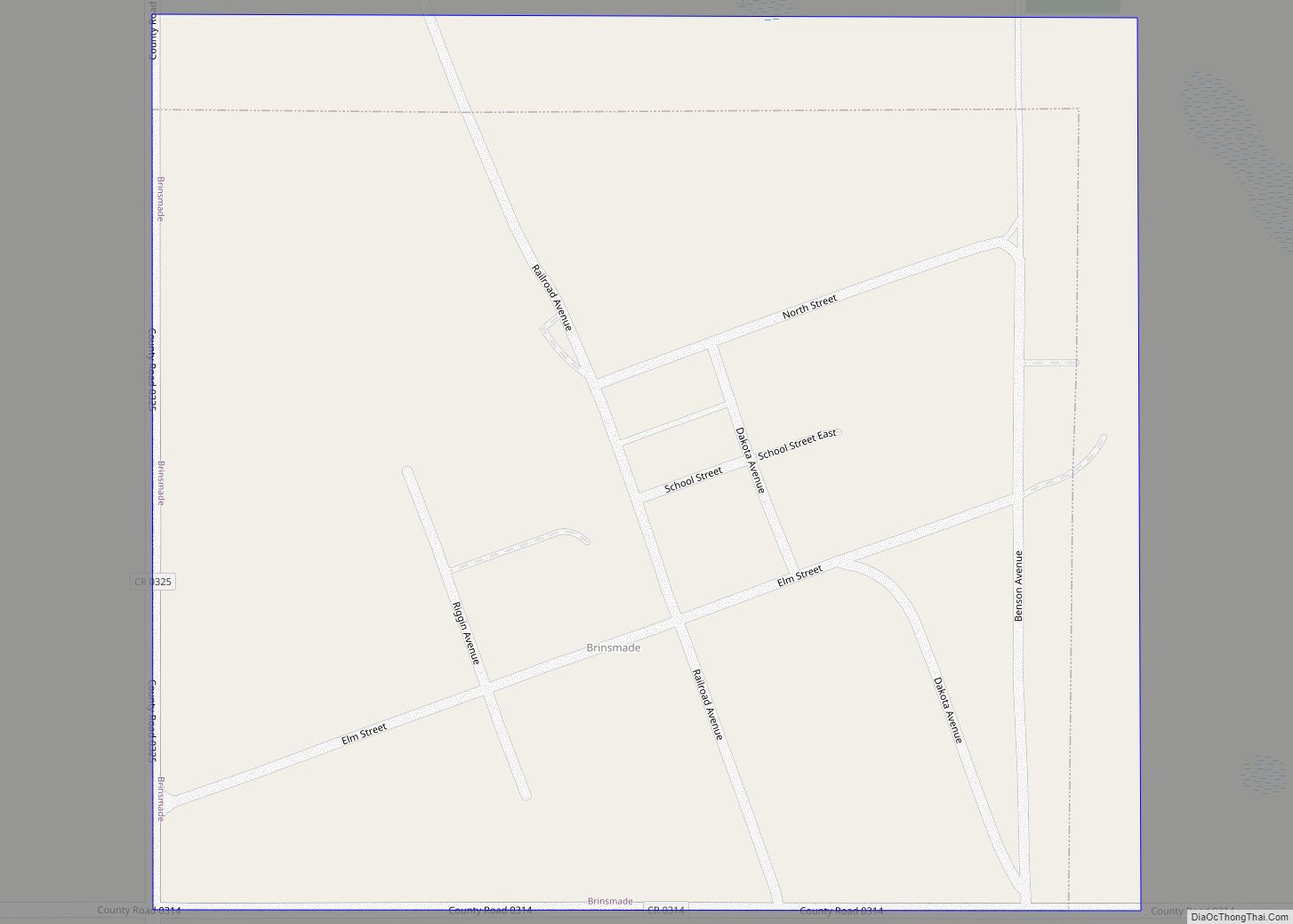
Brinsmade is a city in Benson County, North Dakota, United States. The population was 30 at the 2020 census. Brinsmade was founded in 1889. Brinsmade city overview: Name: Brinsmade city LSAD Code: 25 LSAD Description: city (suffix) State: North Dakota County: Benson County Founded: October 7, 1889 Incorporated: April 4, 1904 Elevation: 1,562 ft (476 m) Total ... Read more
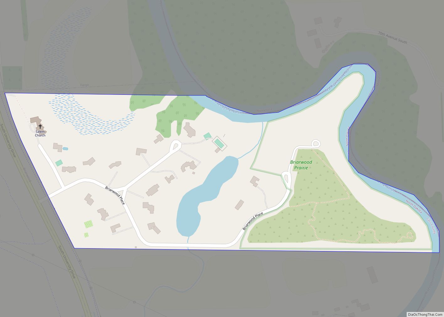
Briarwood is a city in Cass County, North Dakota, United States. The population was 57 at the 2020 census. Briarwood was founded in 1973. It is a suburb directly adjacent to the city of Fargo. Briarwood city overview: Name: Briarwood city LSAD Code: 25 LSAD Description: city (suffix) State: North Dakota County: Cass County Elevation: ... Read more
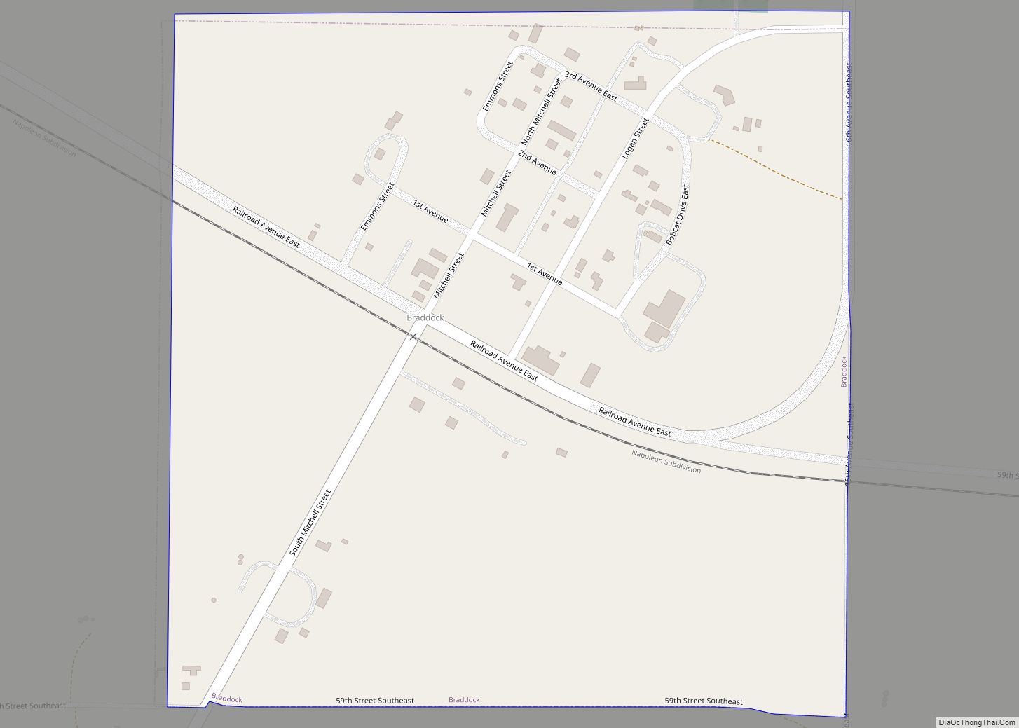
Braddock is a city in Emmons County, North Dakota, United States. The population was 18 at the 2020 census. Braddock was founded in 1898. Braddock city overview: Name: Braddock city LSAD Code: 25 LSAD Description: city (suffix) State: North Dakota County: Emmons County Founded: 1898 Elevation: 1,864 ft (568 m) Total Area: 0.25 sq mi (0.65 km²) Land Area: 0.25 sq mi ... Read more
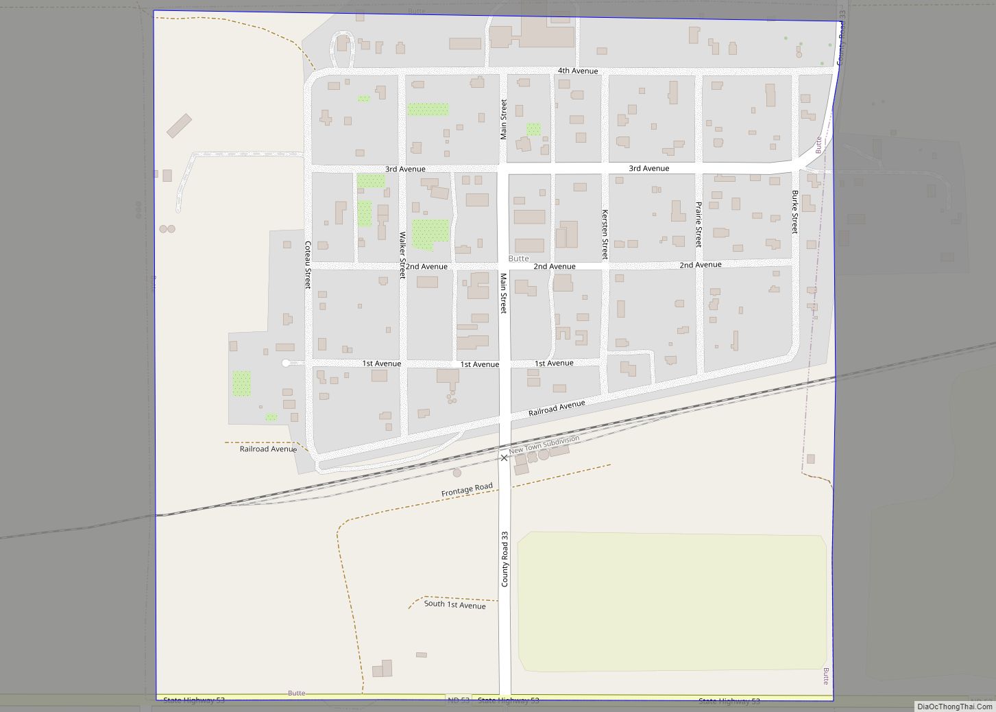
Butte is a city in McLean County, North Dakota, United States. The population was 70 at the 2020 census. Butte was founded in 1906. Butte city overview: Name: Butte city LSAD Code: 25 LSAD Description: city (suffix) State: North Dakota County: McLean County Founded: 1906 Elevation: 1,736 ft (529 m) Total Area: 0.25 sq mi (0.64 km²) Land Area: 0.25 sq mi ... Read more
Burlington is a city in Ward County, North Dakota, United States. It was founded in 1883, the third in a series that included two earlier settlements. Despite this, Burlington is still the oldest city in Ward County, as well as north-western and north central North Dakota. On February 28, 1884, as it was the only ... Read more
Buffalo is a city in Cass County, North Dakota, United States. The population was 195 at the 2020 census. Buffalo was founded in 1878. Buffalo city overview: Name: Buffalo city LSAD Code: 25 LSAD Description: city (suffix) State: North Dakota County: Cass County Elevation: 1,204 ft (367 m) Total Area: 0.48 sq mi (1.25 km²) Land Area: 0.48 sq mi (1.25 km²) Water ... Read more
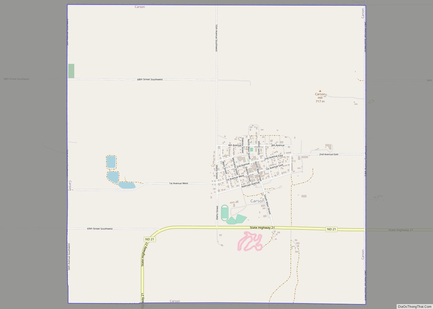
Carson is a city in and the county seat of Grant County, North Dakota, United States. The population was 254 at the 2020 census. Carson city overview: Name: Carson city LSAD Code: 25 LSAD Description: city (suffix) State: North Dakota County: Grant County Founded: 1910 Elevation: 2,300 ft (701 m) Total Area: 3.99 sq mi (10.34 km²) Land Area: 3.99 sq mi ... Read more
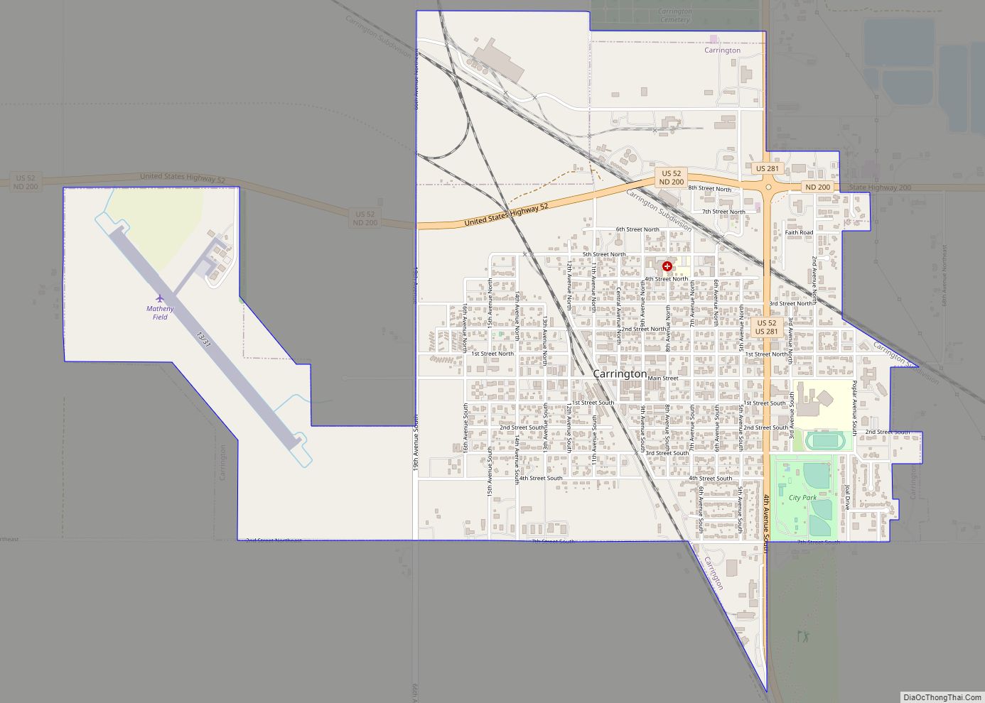
Carrington is a city in Foster County, North Dakota, United States. It is the county seat of Foster County. A part of Carrington Township and Wyard Township The population was 2,080 at the 2020 census. Carrington was founded in 1883. Carrington is home to Dakota Growers Pasta Company, Inc. Carrington city overview: Name: Carrington city ... Read more
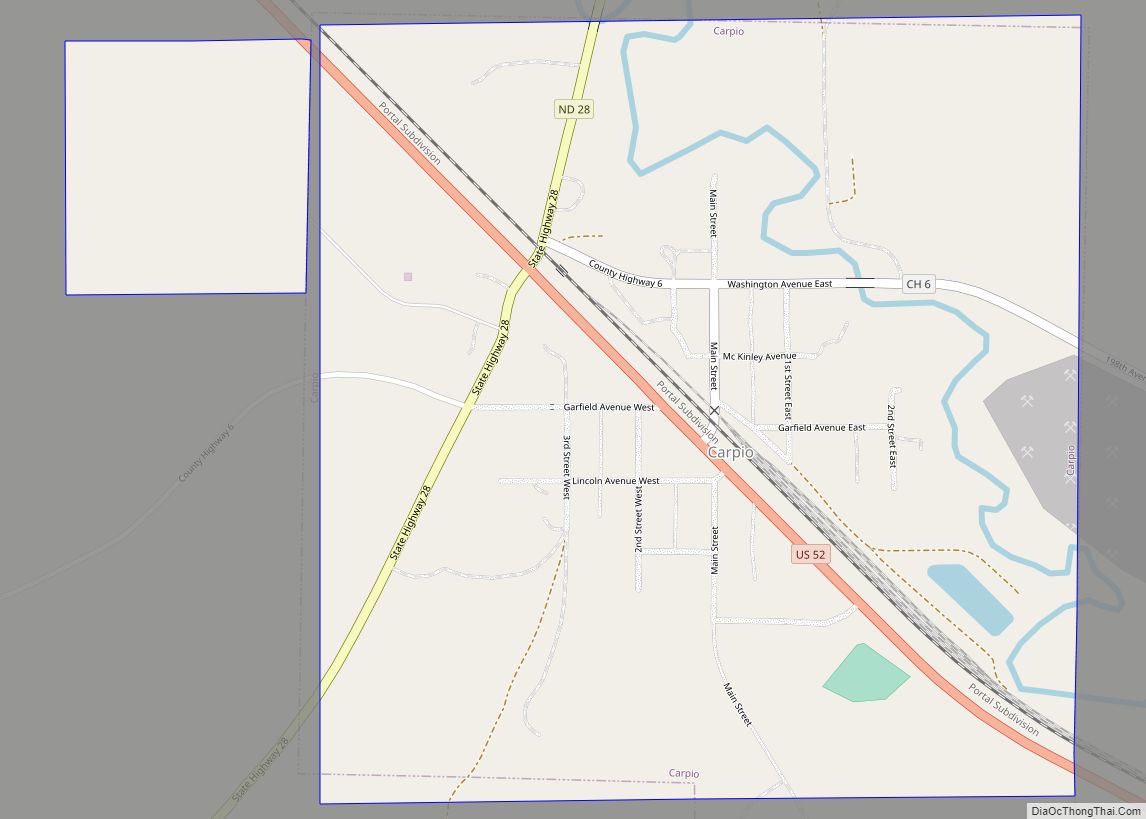
Carpio is a city in Ward County, North Dakota, United States. The population was 144 at the 2020 census. It is part of the Minot Micropolitan Statistical Area. Carpio was founded in 1898. It is commonly believed that the town was named after the first post office which operated out of a railcar – hence ... Read more
Canton City, also known as Hensel, is a town located on the east edge of Park Township in Pembina County, North Dakota, United States. The population was 31 at the 2020 census. The city was founded as Canton Village in 1882. The post office was relocated from a location named Hensel a short distance away, ... Read more
