Cando (/ˈkænduː/ KAN-doo) is a city in Towner County, North Dakota, United States. It is the county seat of Towner County. The population was 1,117 at the 2020 census. Cando was founded in 1884.
| Name: | Cando city |
|---|---|
| LSAD Code: | 25 |
| LSAD Description: | city (suffix) |
| State: | North Dakota |
| County: | Towner County |
| Founded: | 1884 |
| Elevation: | 1,476 ft (450 m) |
| Total Area: | 0.64 sq mi (1.66 km²) |
| Land Area: | 0.64 sq mi (1.66 km²) |
| Water Area: | 0.00 sq mi (0.00 km²) |
| Total Population: | 1,117 |
| Population Density: | 1,739.88/sq mi (671.75/km²) |
| ZIP code: | 58324 |
| Area code: | 701 |
| FIPS code: | 3811860 |
| GNISfeature ID: | 1028267 |
| Website: | candond.com |
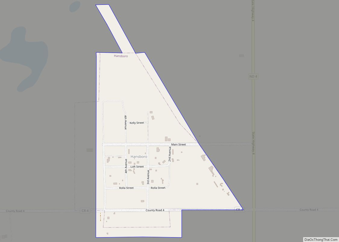
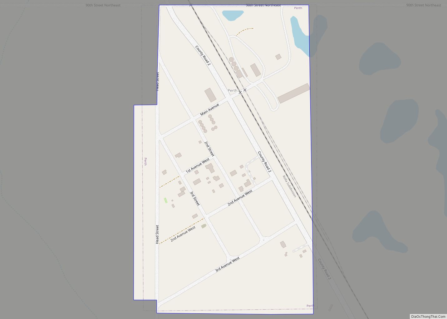
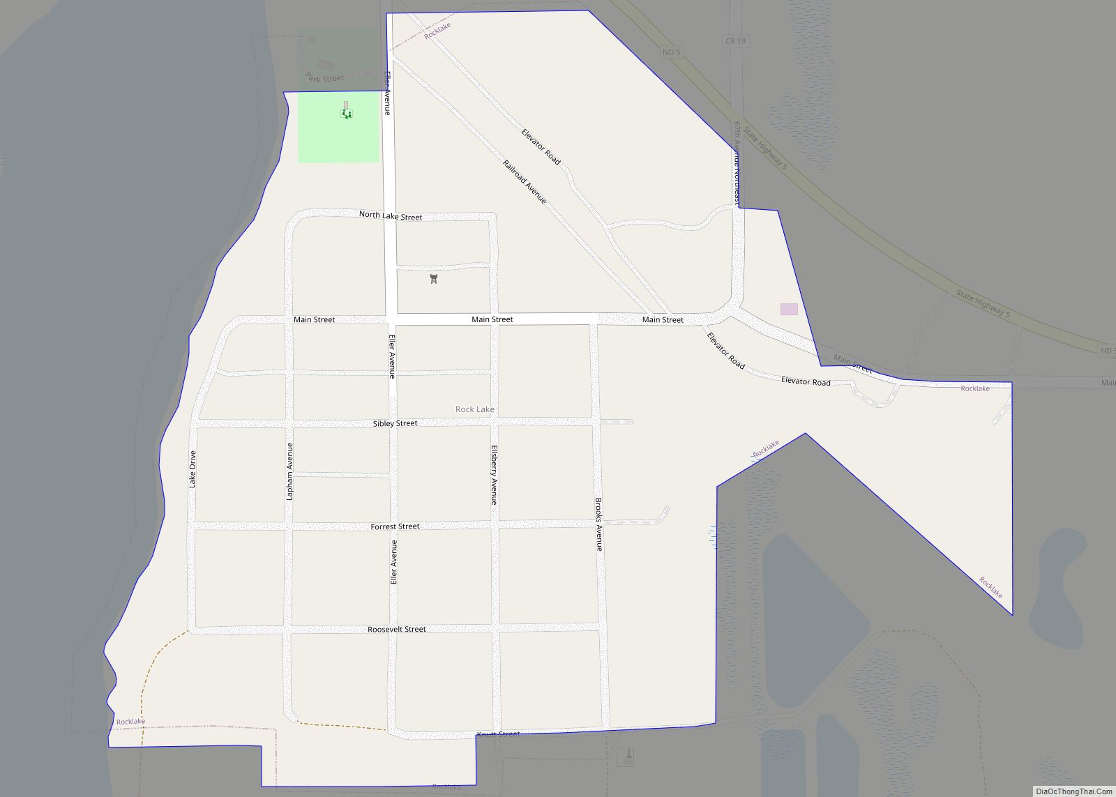
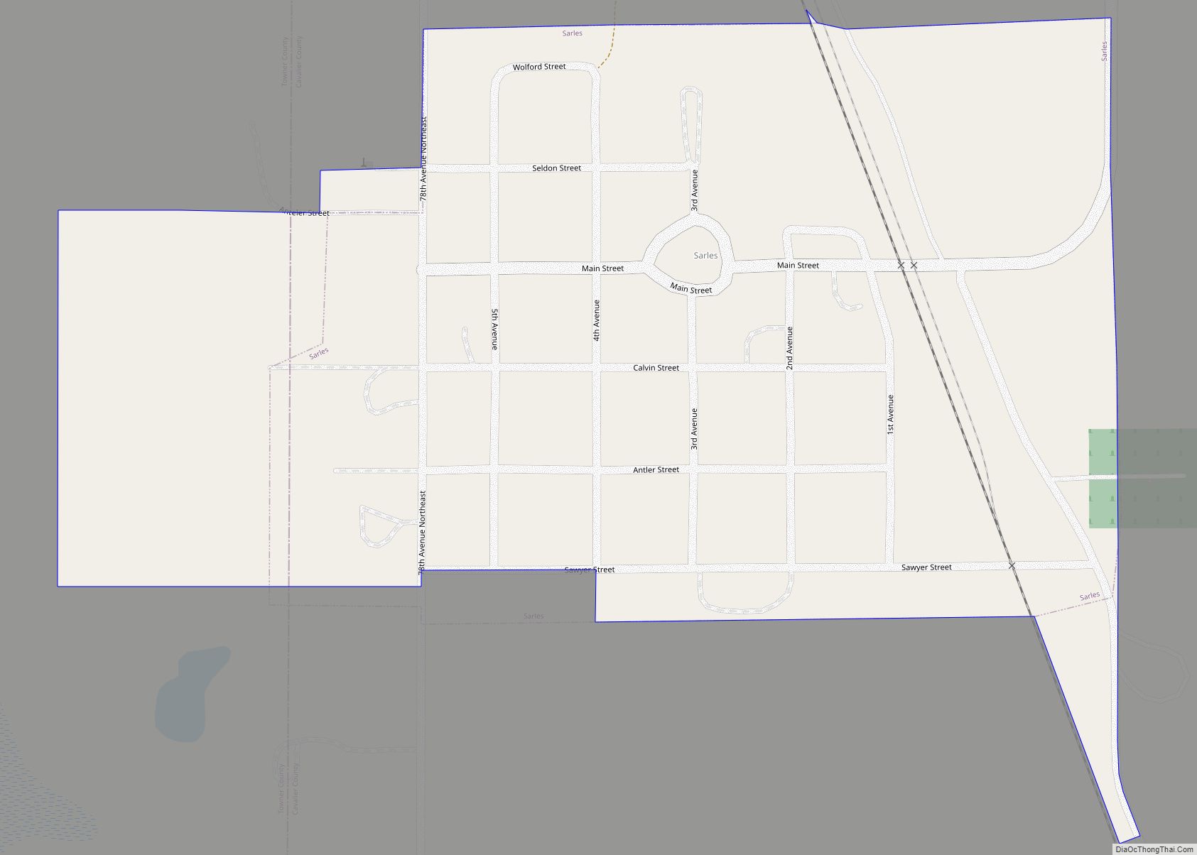
Online Interactive Map
Click on ![]() to view map in "full screen" mode.
to view map in "full screen" mode.
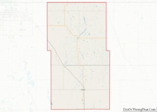
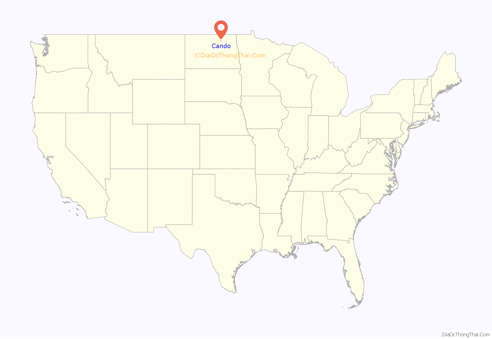
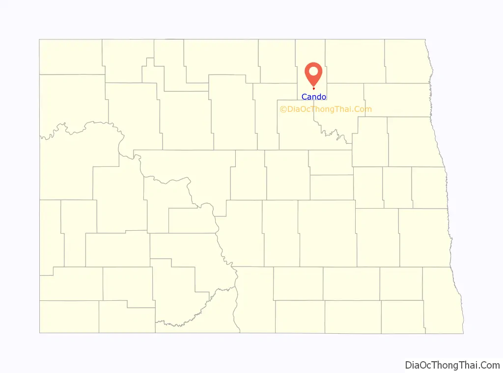
Cando location map. Where is Cando city?
History
Cando was founded in 1884 as the seat of the newly formed Towner County. It was named from the pioneers’ “can do” spirit. The Great Northern Railway was extended to Cando in 1888.
Just west of Cando, Dunkers Colony was founded by settlers from Indiana in 1894. The settlement later changed its name to Zion, and all that is left today is a cemetery west of Cando.
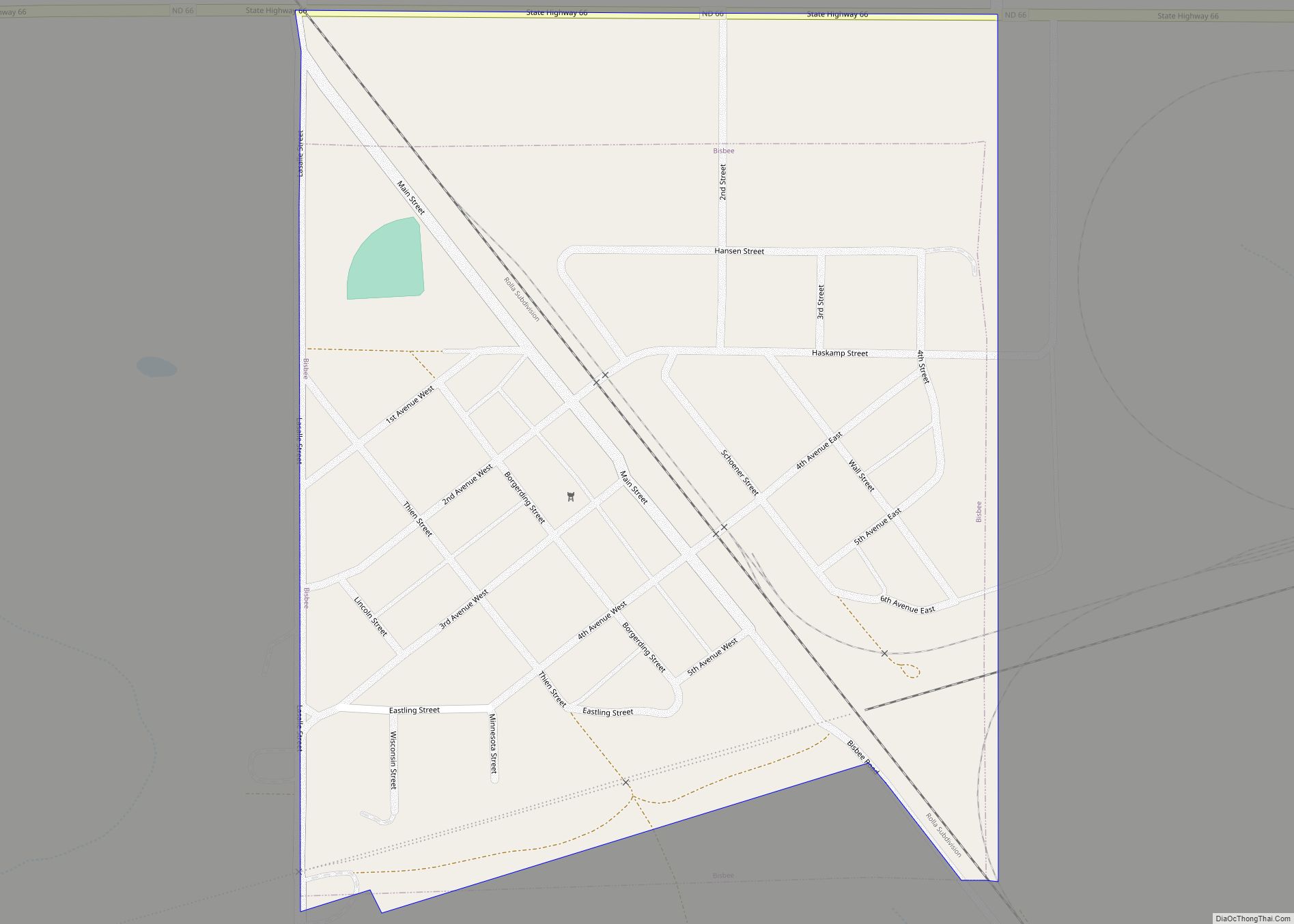
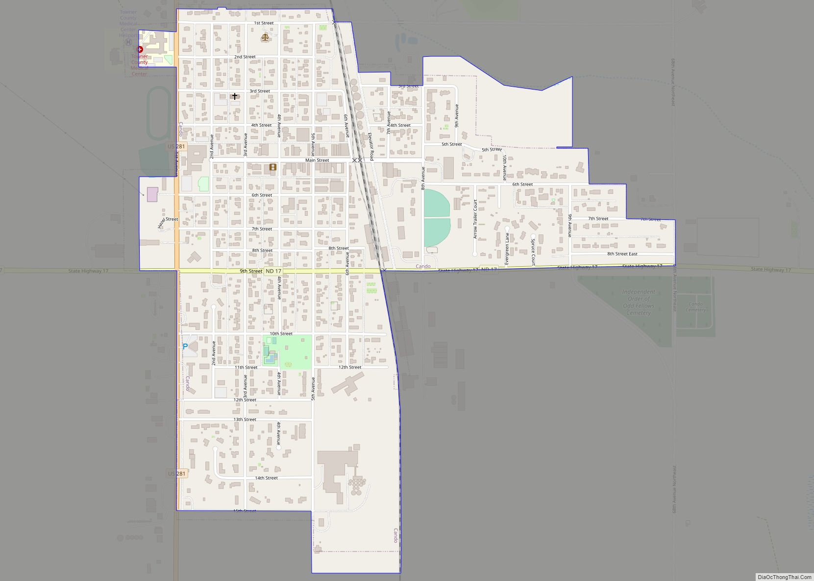
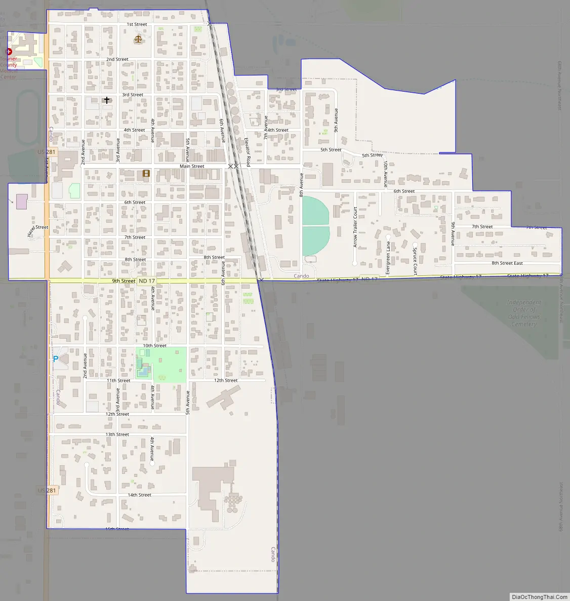
Cando Road Map
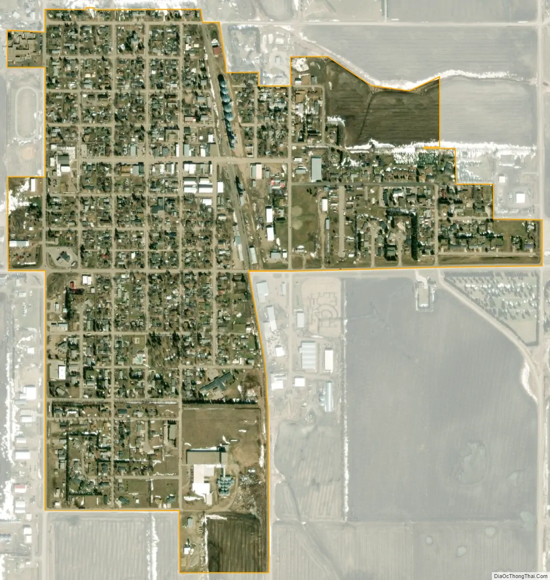
Cando city Satellite Map
Geography
Cando is located at 48°29′19″N 99°12′16″W / 48.488497°N 99.204542°W / 48.488497; -99.204542.
According to the United States Census Bureau, the city has a total area of 0.63 square miles (1.63 km), all land.
See also
Map of North Dakota State and its subdivision:- Adams
- Barnes
- Benson
- Billings
- Bottineau
- Bowman
- Burke
- Burleigh
- Cass
- Cavalier
- Dickey
- Divide
- Dunn
- Eddy
- Emmons
- Foster
- Golden Valley
- Grand Forks
- Grant
- Griggs
- Hettinger
- Kidder
- Lamoure
- Logan
- McHenry
- McIntosh
- McKenzie
- McLean
- Mercer
- Morton
- Mountrail
- Nelson
- Oliver
- Pembina
- Pierce
- Ramsey
- Ransom
- Renville
- Richland
- Rolette
- Sargent
- Sheridan
- Sioux
- Slope
- Stark
- Steele
- Stutsman
- Towner
- Traill
- Walsh
- Ward
- Wells
- Williams
- Alabama
- Alaska
- Arizona
- Arkansas
- California
- Colorado
- Connecticut
- Delaware
- District of Columbia
- Florida
- Georgia
- Hawaii
- Idaho
- Illinois
- Indiana
- Iowa
- Kansas
- Kentucky
- Louisiana
- Maine
- Maryland
- Massachusetts
- Michigan
- Minnesota
- Mississippi
- Missouri
- Montana
- Nebraska
- Nevada
- New Hampshire
- New Jersey
- New Mexico
- New York
- North Carolina
- North Dakota
- Ohio
- Oklahoma
- Oregon
- Pennsylvania
- Rhode Island
- South Carolina
- South Dakota
- Tennessee
- Texas
- Utah
- Vermont
- Virginia
- Washington
- West Virginia
- Wisconsin
- Wyoming