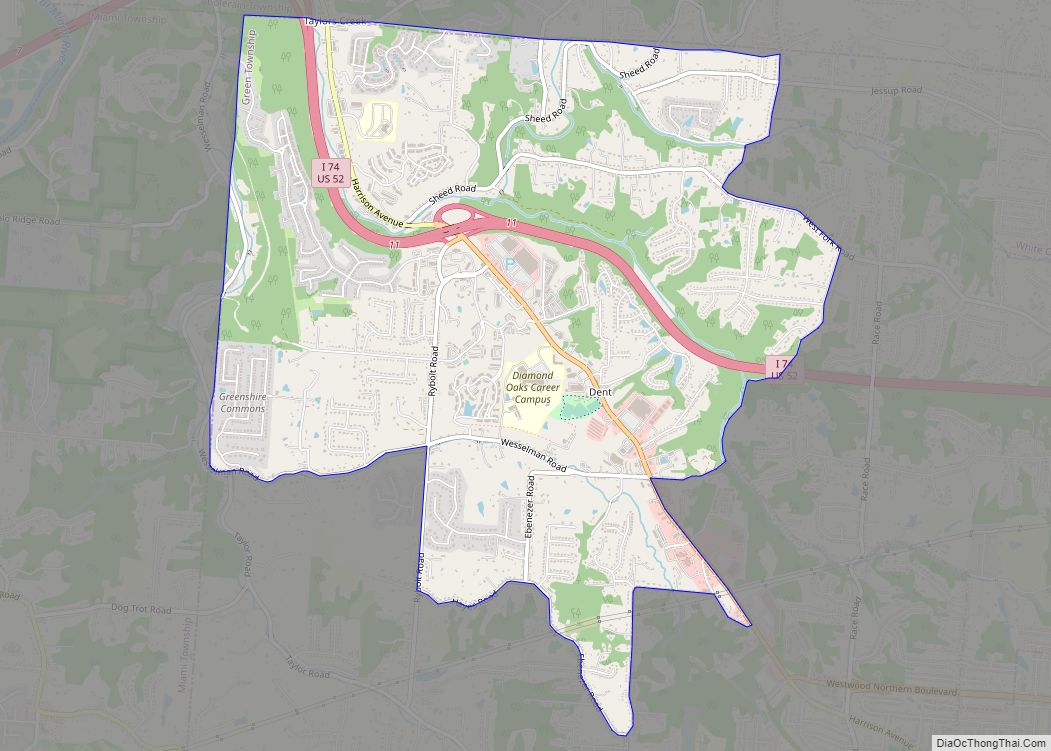
Dent is a census-designated place (CDP) in Green Township, Hamilton County, Ohio, United States. The population was 12,301 at the 2020 census. Dent CDP overview: Name: Dent CDP LSAD Code: 57 LSAD Description: CDP (suffix) State: Ohio County: Hamilton County Elevation: 843 ft (257 m) Total Area: 6.25 sq mi (16.20 km²) Land Area: 6.25 sq mi (16.20 km²) Water Area: 0.00 sq mi (0.00 km²) ... Read more
Ohio Cities and Places
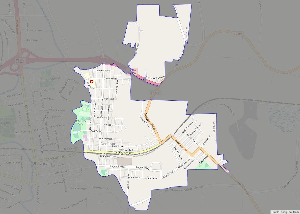
Dennison is a village in Tuscarawas County, Ohio, United States. The population was 2,655 at the 2010 census. Dennison village overview: Name: Dennison village LSAD Code: 47 LSAD Description: village (suffix) State: Ohio County: Tuscarawas County Elevation: 866 ft (264 m) Total Area: 1.38 sq mi (3.57 km²) Land Area: 1.38 sq mi (3.57 km²) Water Area: 0.00 sq mi (0.00 km²) Total Population: 2,709 Population ... Read more
Delta is a village in Fulton County, Ohio, United States. The population was 3,103 at the 2010 census. Delta village overview: Name: Delta village LSAD Code: 47 LSAD Description: village (suffix) State: Ohio County: Fulton County Elevation: 722 ft (220 m) Total Area: 3.16 sq mi (8.17 km²) Land Area: 3.15 sq mi (8.17 km²) Water Area: 0.00 sq mi (0.00 km²) Total Population: 3,316 Population ... Read more
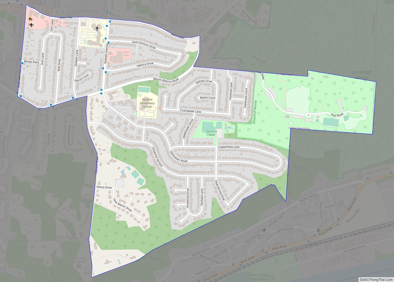
Delshire is a census-designated place (CDP) in Delhi Township, Hamilton County, Ohio, United States. The population was 3,158 at the 2020 census. Delshire CDP overview: Name: Delshire CDP LSAD Code: 57 LSAD Description: CDP (suffix) State: Ohio County: Hamilton County Elevation: 870 ft (270 m) Total Area: 0.70 sq mi (1.81 km²) Land Area: 0.70 sq mi (1.81 km²) Water Area: 0.00 sq mi (0.00 km²) ... Read more
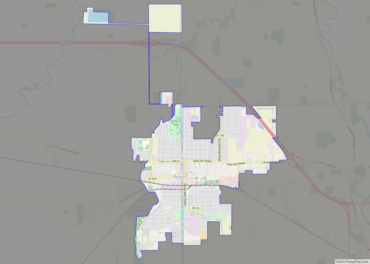
Delphos is a city in Allen and Van Wert counties in the U.S. state of Ohio approximately 14 mi (23 km) northwest of Lima and 13 mi (21 km) east of Van Wert. The population was 7,117 at the 2020 census. The Allen County portion of Delphos is part of the Lima Metropolitan Statistical Area, while the Van Wert ... Read more
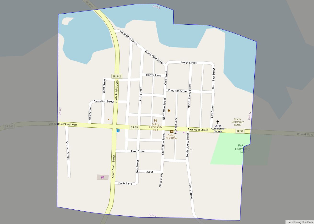
Dellroy is a village in western Carroll County, Ohio, United States. The population was 268 at the 2020 census. It is part of the Canton–Massillon metropolitan area. Dellroy village overview: Name: Dellroy village LSAD Code: 47 LSAD Description: village (suffix) State: Ohio County: Carroll County Elevation: 958 ft (292 m) Total Area: 0.21 sq mi (0.55 km²) Land Area: 0.18 sq mi ... Read more
Delhi Hills is a census-designated place (CDP) in Delhi Township, Hamilton County, Ohio, United States. The population was 5,022 at the 2020 census. Delhi Hills CDP overview: Name: Delhi Hills CDP LSAD Code: 57 LSAD Description: CDP (suffix) State: Ohio County: Hamilton County Elevation: 870 ft (270 m) Total Area: 1.48 sq mi (3.82 km²) Land Area: 1.48 sq mi (3.82 km²) Water ... Read more
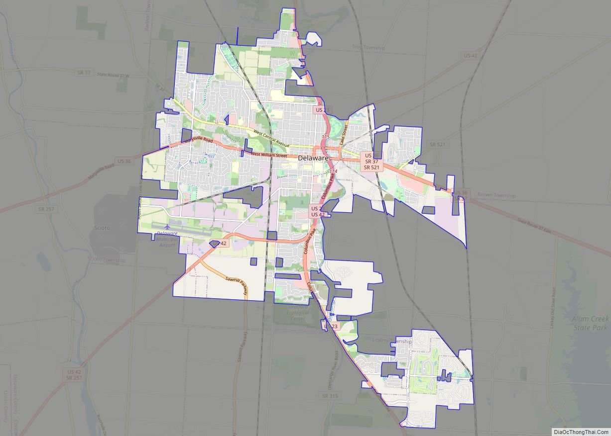
Delaware is a city in and the county seat of Delaware County, Ohio, United States. Delaware was founded in 1808 and was incorporated in 1816. It is located near the center of Ohio, about 30 miles (48 km) north of Columbus as part of the Columbus metropolitan area. The population was 41,302 at the 2020 census. ... Read more
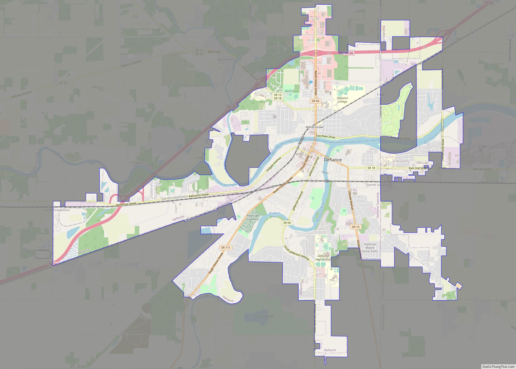
Defiance is a city in and the county seat of Defiance County, Ohio, United States, about 55 miles (89 km) southwest of Toledo and 47 miles (76 km) northeast of Fort Wayne, Indiana, in Ohio’s northwestern corner. The population was 16,494 at the 2010 census. Defiance city overview: Name: Defiance city LSAD Code: 25 LSAD Description: city ... Read more
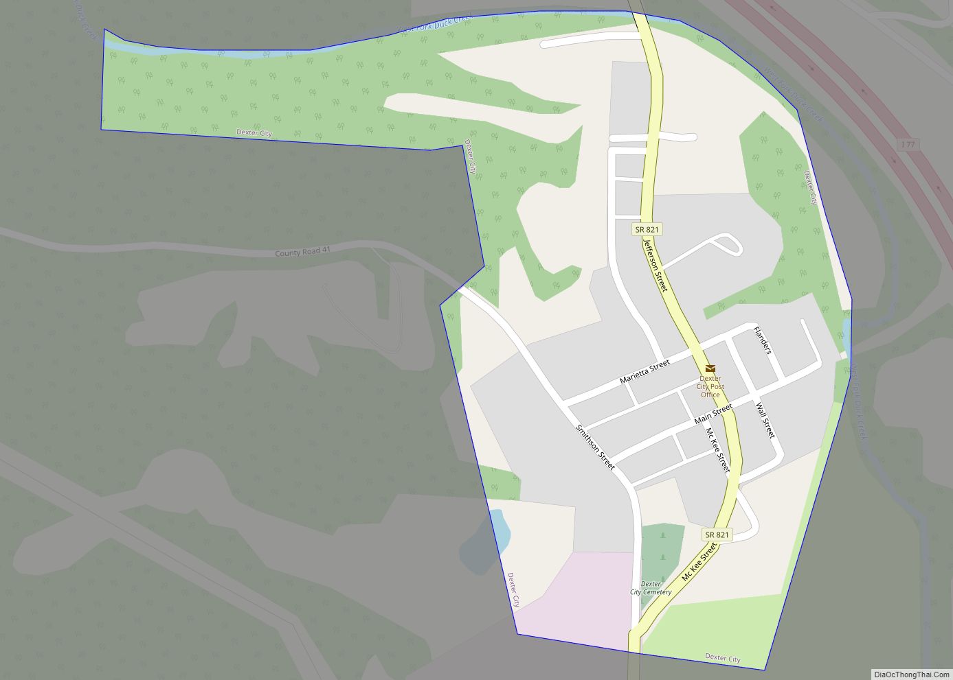
Dexter City is a village in Noble County, Ohio, United States, along the West Fork of Duck Creek. The population was 81 at the 2020 census. Dexter City was laid out in 1870, and named after Dexter W. Sullivan, an early settler. Dexter City village overview: Name: Dexter City village LSAD Code: 47 LSAD Description: ... Read more
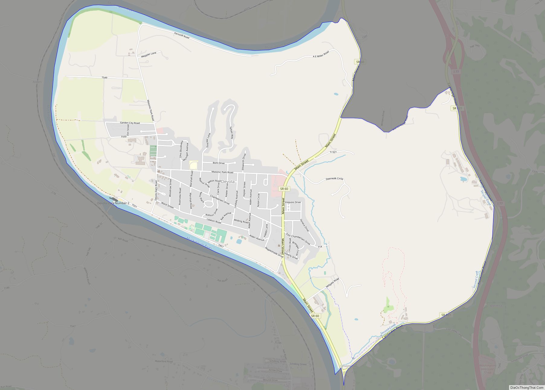
Devola is a census-designated place (CDP) in Washington County, Ohio, United States, along the Muskingum River. It is part of the Parkersburg–Marietta–Vienna, WV-OH Metropolitan Statistical Area. The population was 2,771 at the 2000 census. Devola CDP overview: Name: Devola CDP LSAD Code: 57 LSAD Description: CDP (suffix) State: Ohio County: Washington County Elevation: 682 ft (208 m) ... Read more
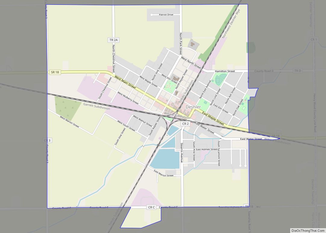
Deshler is a village in Henry County, Ohio, United States. The population was 1,799 at the 2010 census. Deshler village overview: Name: Deshler village LSAD Code: 47 LSAD Description: village (suffix) State: Ohio County: Henry County Elevation: 712 ft (217 m) Total Area: 2.32 sq mi (6.02 km²) Land Area: 2.29 sq mi (5.93 km²) Water Area: 0.04 sq mi (0.09 km²) Total Population: 1,588 Population ... Read more
