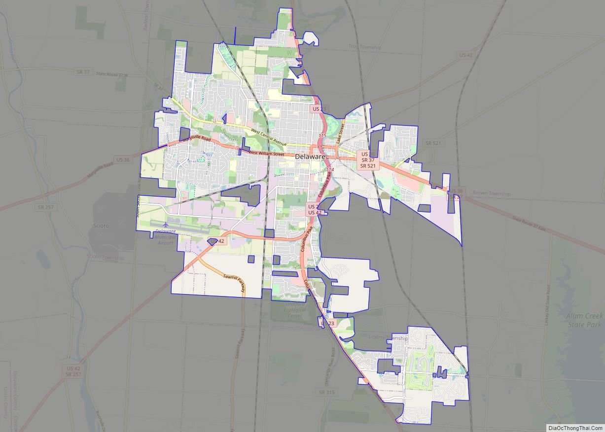
Delaware is a city in and the county seat of Delaware County, Ohio, United States. Delaware was founded in 1808 and was incorporated in 1816. It is located near the center of Ohio, about 30 miles (48 km) north of Columbus as part of the Columbus metropolitan area. The population was 41,302 at the 2020 census.
| Name: | Delaware city |
|---|---|
| LSAD Code: | 25 |
| LSAD Description: | city (suffix) |
| State: | Ohio |
| County: | Delaware County |
| Founded: | 1808 |
| Total Area: | 20.23 sq mi (52.39 km²) |
| Land Area: | 20.10 sq mi (52.07 km²) |
| Water Area: | 0.12 sq mi (0.32 km²) |
| Total Population: | 41,302 |
| Population Density: | 2,054.42/sq mi (793.20/km²) |
| ZIP code: | 43015 |
| Area code: | 740, 220 |
| FIPS code: | 3921434 |
| Website: | www.delawareohio.net |
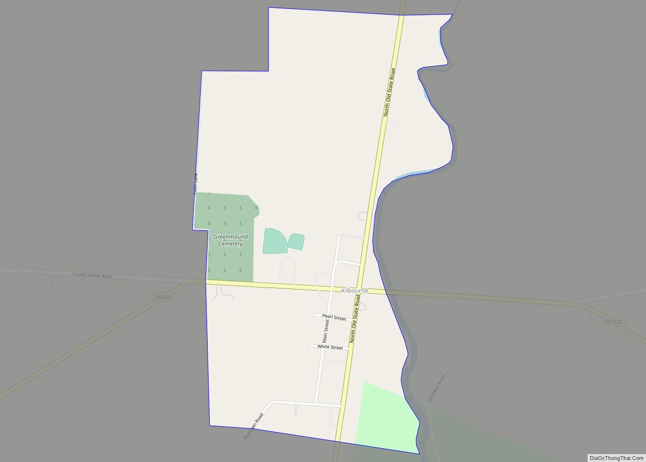
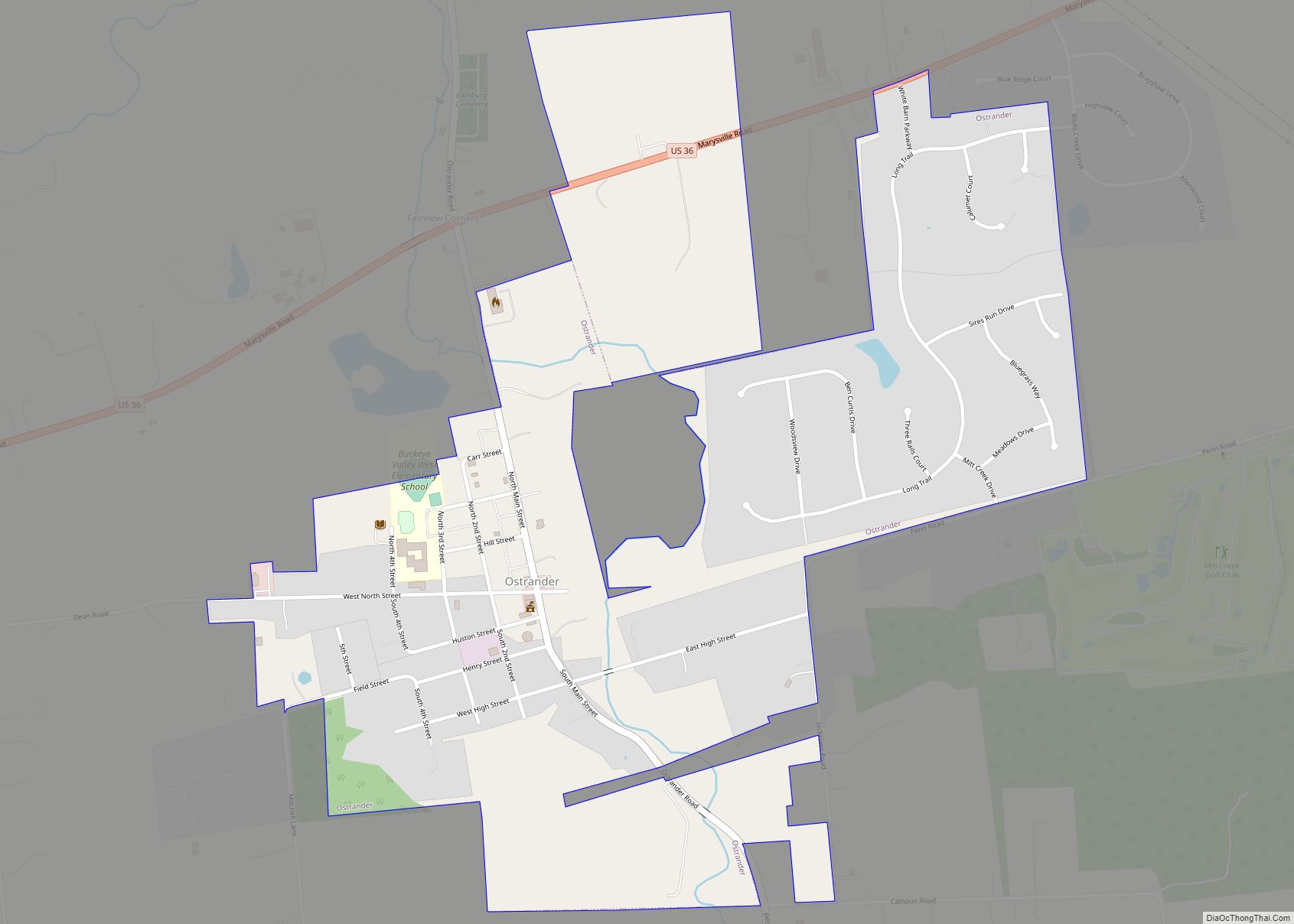
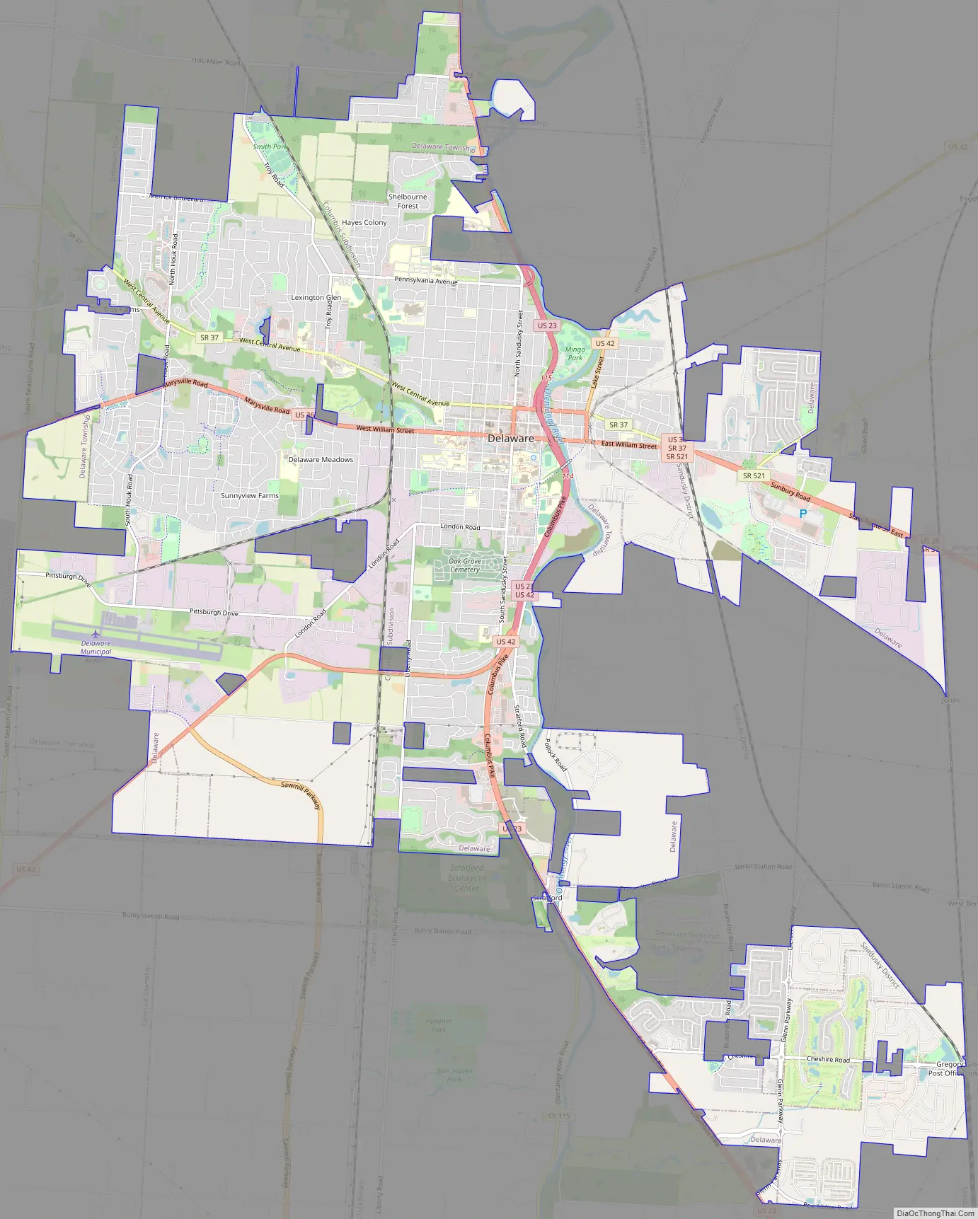
Online Interactive Map
Click on ![]() to view map in "full screen" mode.
to view map in "full screen" mode.
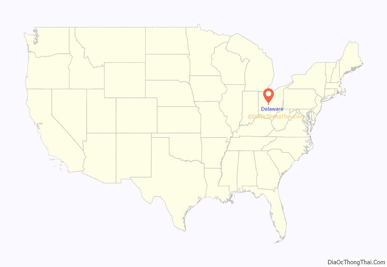
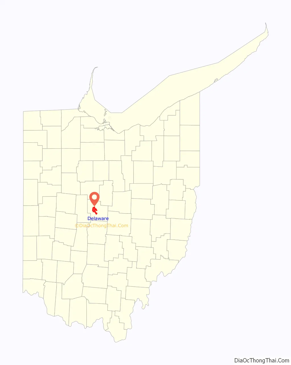
Delaware location map. Where is Delaware city?
History
While the city and county of Delaware are named for the Delaware tribe, the city of Delaware itself was founded on a Mingo village called Pluggy’s Town. The first recorded settler was Joseph Barber in 1807. Shortly afterward, other men started settling in the area (according to the Delaware Historical Society); namely: Moses Byxbe, William Little, Solomon Smith, Elder Jacob Drake, Thomas Butler, and Ira Carpenter. In 1808, Moses Byxbe built the first framed house on William Street. Born in Delaware County in 1808, Charles Sweetser went on to become a member of the United States House of Representatives from 1849 to 1853. On March 11, 1808, a plan of the city was filed, marking the official founding of the town. Byxbe and the others planned the city to be originally on the east bank of the river, but it was switched to the west bank only a few days after the first plan was filed.
Even though Delaware was still a small community, in 1812, when the capital of Ohio was moved from Chillicothe, Delaware and Columbus were both in the running and Delaware lost by a single vote to Columbus. However, following the War of 1812, settlers began arriving in Delaware in greater numbers. Among some of the earliest settlers were the parents of Rutherford B. Hayes, the 19th President of the United States. The Hayes home no longer stands, but a historical marker in front of a BP station marks the location. As of 2018, the Rutherford B. Hayes Comes Home committee is trying to raise $125,000 to get a statue of Hayes placed at the corners of William and Sandusky streets and a bust of Hayes to be placed at Rutherford B. Hayes High School. The statue would be a 125% scale depiction of the president, which would stand at about 10 feet with its pedestal. Committee Chairman Bill Rietz said that the committee would like to raise the money by October 4, 2019, Hayes’ 197th birthday.
In the early days of the town, a sulfur spring was discovered northwest of Joseph Barber’s cabin. By 1833, a hotel was built as a health spa near the spring. However, the Mansion House Hotel was a failure, and by 1841, citizens began raising funds to purchase the hotel property with the intent of giving it to the Ohio and North Ohio Methodist Episcopal Conference of the Methodist Church for the purpose of a Methodist college. With that effort, Ohio Wesleyan University was founded in 1844.
Railroads came to the area in April, 1851 as Delaware served as a stop on the Cleveland Columbus and Cincinnati Railroad. Additional rail lines were added to serve Delaware providing access to major cities and markets throughout the country by the late 1890s. At the turn of the century, Delaware could boast of its own electric street railway system. In the early 1930s, electric inter-urban service was provided by the Columbus, Delaware and Marion system.
During the Civil War
During the Civil War, Delaware was the home to two Union training camps. The first on the west side of the river for white recruits of the 96th and 121st Ohio Volunteer Infantry were mustered into service. The second, on the east side of the river was for African-Americans joining the army in Ohio in the 127th Regiment of Ohio Volunteer Infantry – later renamed the 5th Regiment United States Colored Troops.
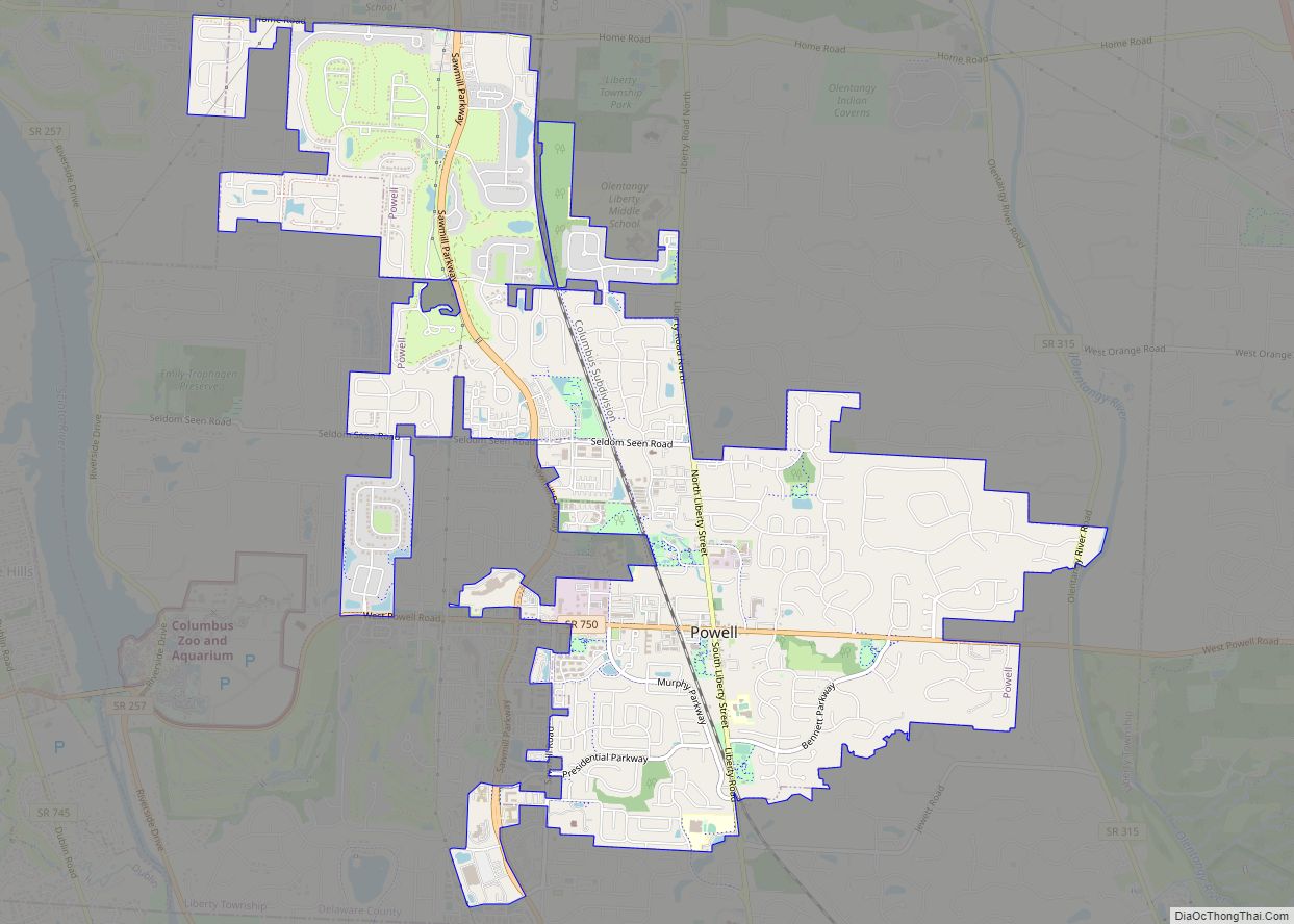
Delaware Road Map
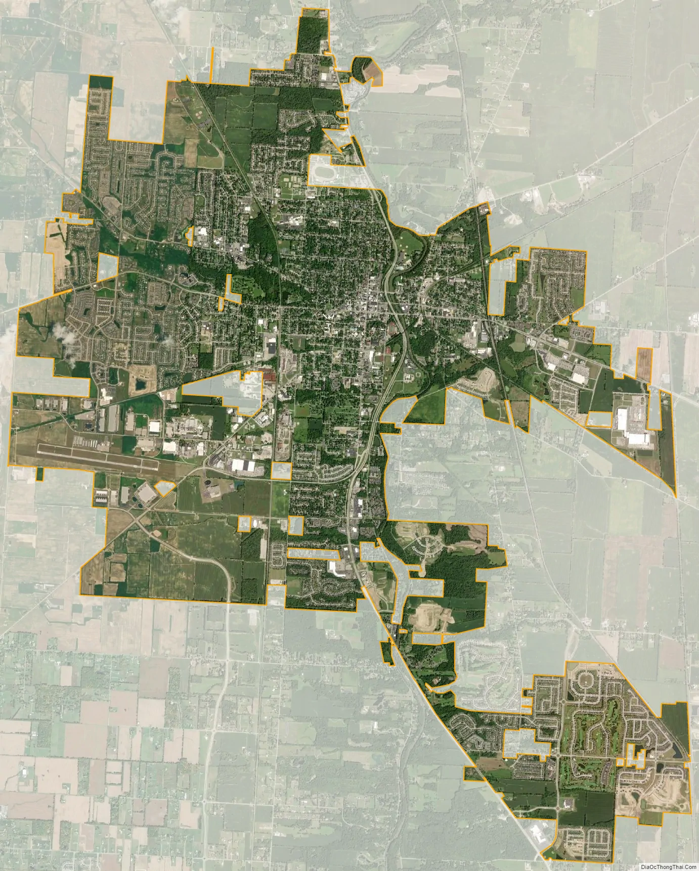
Delaware city Satellite Map
Geography
Delaware is located at 40°17′56″N 83°4′19″W / 40.29889°N 83.07194°W / 40.29889; -83.07194 (40.298898, -83.072007).
The city is located approximately 24 miles north of Ohio’s capital city, Columbus, due north along U.S. Route 23.
According to the United States Census Bureau, the city has a total area of 19.07 square miles (49.39 km), of which 18.95 square miles (49.08 km) are land and 0.12 square miles (0.31 km) is water.
The Olentangy River runs through the city.
See also
Map of Ohio State and its subdivision:- Adams
- Allen
- Ashland
- Ashtabula
- Athens
- Auglaize
- Belmont
- Brown
- Butler
- Carroll
- Champaign
- Clark
- Clermont
- Clinton
- Columbiana
- Coshocton
- Crawford
- Cuyahoga
- Darke
- Defiance
- Delaware
- Erie
- Fairfield
- Fayette
- Franklin
- Fulton
- Gallia
- Geauga
- Greene
- Guernsey
- Hamilton
- Hancock
- Hardin
- Harrison
- Henry
- Highland
- Hocking
- Holmes
- Huron
- Jackson
- Jefferson
- Knox
- Lake
- Lake Erie
- Lawrence
- Licking
- Logan
- Lorain
- Lucas
- Madison
- Mahoning
- Marion
- Medina
- Meigs
- Mercer
- Miami
- Monroe
- Montgomery
- Morgan
- Morrow
- Muskingum
- Noble
- Ottawa
- Paulding
- Perry
- Pickaway
- Pike
- Portage
- Preble
- Putnam
- Richland
- Ross
- Sandusky
- Scioto
- Seneca
- Shelby
- Stark
- Summit
- Trumbull
- Tuscarawas
- Union
- Van Wert
- Vinton
- Warren
- Washington
- Wayne
- Williams
- Wood
- Wyandot
- Alabama
- Alaska
- Arizona
- Arkansas
- California
- Colorado
- Connecticut
- Delaware
- District of Columbia
- Florida
- Georgia
- Hawaii
- Idaho
- Illinois
- Indiana
- Iowa
- Kansas
- Kentucky
- Louisiana
- Maine
- Maryland
- Massachusetts
- Michigan
- Minnesota
- Mississippi
- Missouri
- Montana
- Nebraska
- Nevada
- New Hampshire
- New Jersey
- New Mexico
- New York
- North Carolina
- North Dakota
- Ohio
- Oklahoma
- Oregon
- Pennsylvania
- Rhode Island
- South Carolina
- South Dakota
- Tennessee
- Texas
- Utah
- Vermont
- Virginia
- Washington
- West Virginia
- Wisconsin
- Wyoming