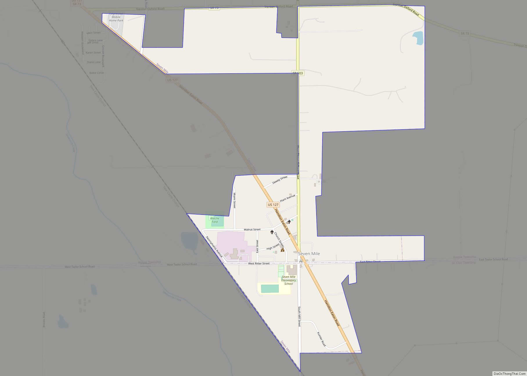
Seven Mile is a village in Butler County, Ohio, United States. The population was 712 at the 2020 census. Seven Mile is served by Edgewood Local School District. Seven Mile Elementary School is the only school located within the village limits. Seven Mile village overview: Name: Seven Mile village LSAD Code: 47 LSAD Description: village ... Read more
Ohio Cities and Places
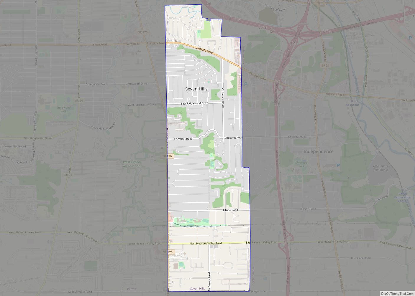
Seven Hills is a city in Cuyahoga County, Ohio, United States. The population was 11,720 at the 2020 census. Seven Hills city overview: Name: Seven Hills city LSAD Code: 25 LSAD Description: city (suffix) State: Ohio County: Cuyahoga County Elevation: 883 ft (269 m) Total Area: 4.91 sq mi (12.71 km²) Land Area: 4.90 sq mi (12.69 km²) Water Area: 0.01 sq mi (0.02 km²) Total ... Read more
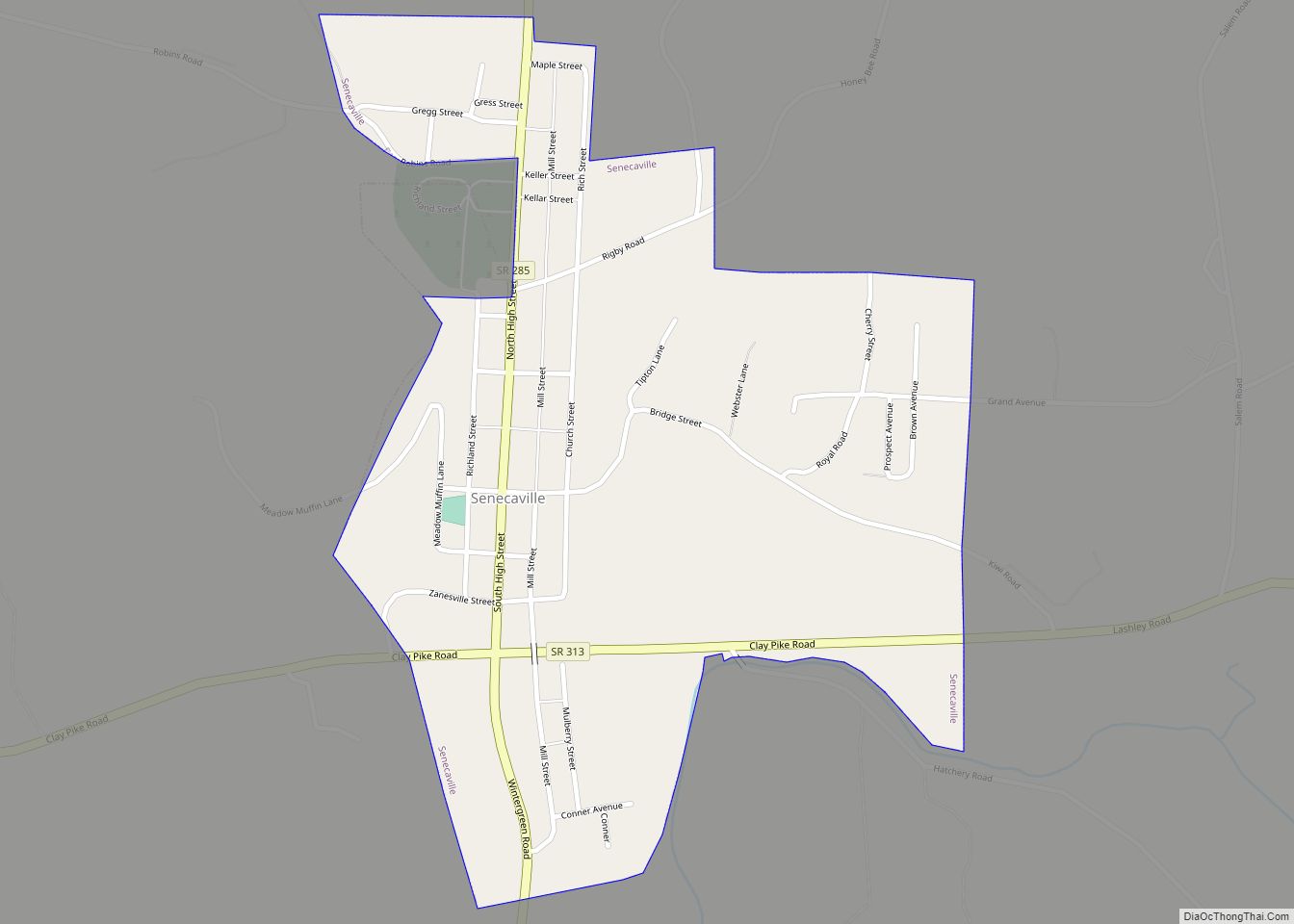
Senecaville is a village in Guernsey County, Ohio, United States. The population was 457 at the 2010 census. Senecaville village overview: Name: Senecaville village LSAD Code: 47 LSAD Description: village (suffix) State: Ohio County: Guernsey County Elevation: 892 ft (272 m) Total Area: 0.47 sq mi (1.23 km²) Land Area: 0.47 sq mi (1.23 km²) Water Area: 0.00 sq mi (0.00 km²) Total Population: 422 Population ... Read more
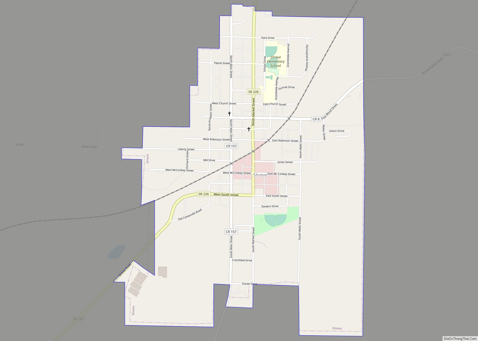
Shreve is a village in Clinton Township, Wayne County, Ohio, United States. The population was 1,514 at the 2010 census. Shreve is served by a branch of the Wayne County Public Library. Shreve village overview: Name: Shreve village LSAD Code: 47 LSAD Description: village (suffix) State: Ohio County: Wayne County Elevation: 902 ft (275 m) Total Area: ... Read more
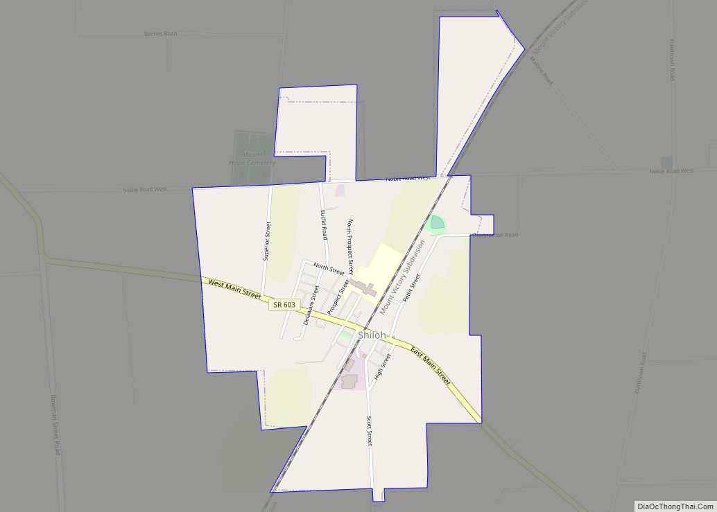
Shiloh is a village in Richland County in the U.S. state of Ohio. It is part of the Mansfield, Ohio Metropolitan Statistical Area. The population was 649 at the 2010 census. Shiloh village overview: Name: Shiloh village LSAD Code: 47 LSAD Description: village (suffix) State: Ohio County: Richland County Founded: 1852 Incorporated: 1874 (village) Elevation: ... Read more
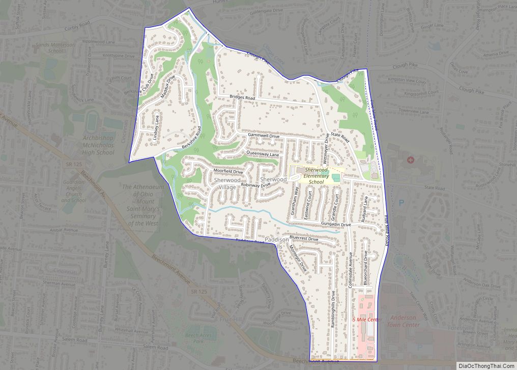
Sherwood is a census-designated place (CDP) in Hamilton County, Ohio, United States. The population was 3,633 at the 2020 census. Sherwood CDP overview: Name: Sherwood CDP LSAD Code: 57 LSAD Description: CDP (suffix) State: Ohio County: Hamilton County Total Area: 1.1 sq mi (2.9 km²) Land Area: 1.1 sq mi (2.9 km²) Water Area: 0.0 sq mi (0.0 km²) Total Population: 3,633 FIPS code: ... Read more
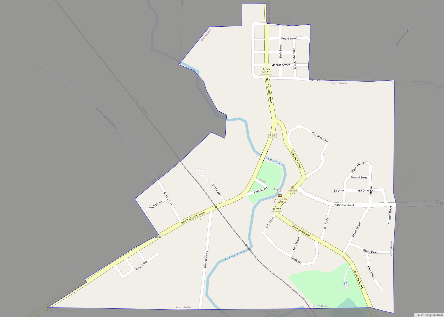
Sherrodsville (/ˈʃɛrɒdzvɪl/ SHERR-odz-vil) is a village in southwestern Carroll County, Ohio, United States. The population was 222 at the 2020 census. It is part of the Canton–Massillon metropolitan area. Sherrodsville village overview: Name: Sherrodsville village LSAD Code: 47 LSAD Description: village (suffix) State: Ohio County: Carroll County Elevation: 909 ft (277 m) Total Area: 0.32 sq mi (0.82 km²) Land ... Read more
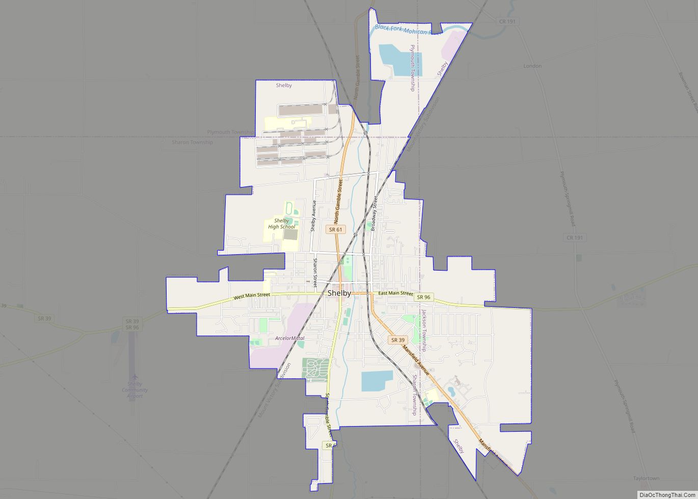
Shelby is a city in Richland County in the U.S. state of Ohio, northwest of the city of Mansfield. It is part of the Mansfield, Ohio Metropolitan Statistical Area. The population was 9,317 as of the 2010 census. Shelby city overview: Name: Shelby city LSAD Code: 25 LSAD Description: city (suffix) State: Ohio County: Richland ... Read more
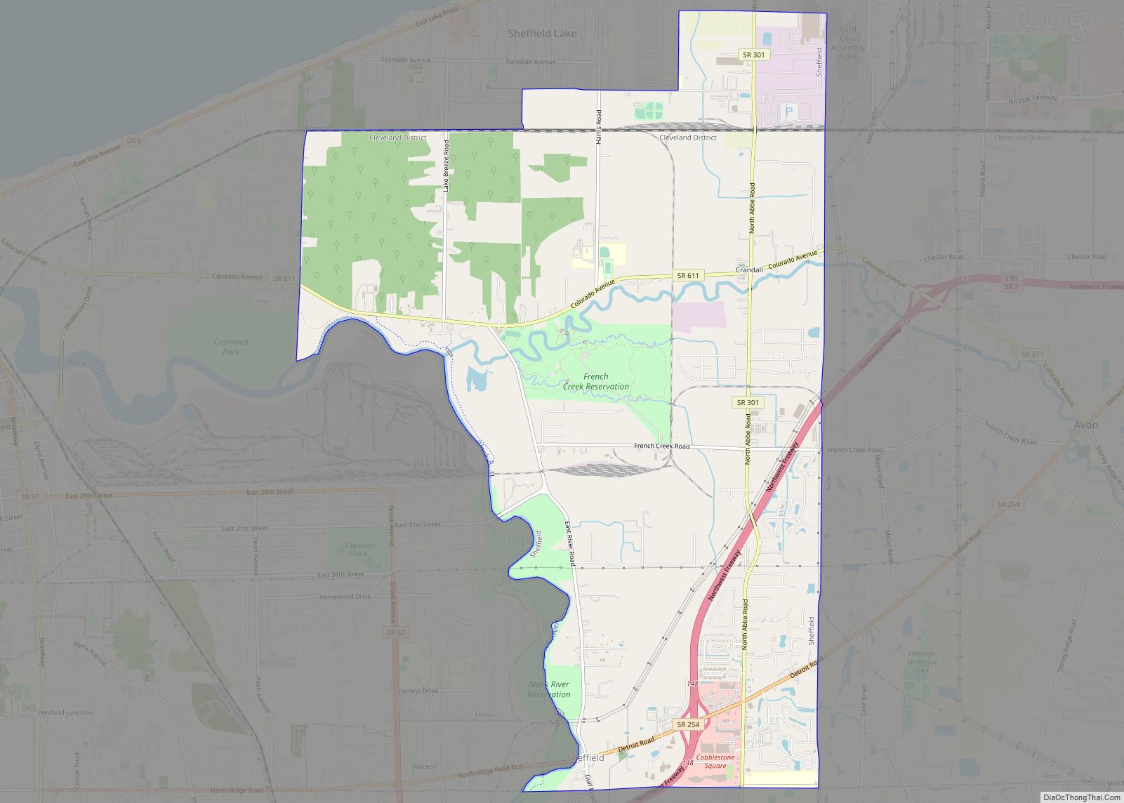
Sheffield is a village in Lorain County, Ohio, United States, along the Black River. The population was 4,135 at the 2020 census. It is part of the Cleveland metropolitan area. Sheffield village overview: Name: Sheffield village LSAD Code: 47 LSAD Description: village (suffix) State: Ohio County: Lorain County Elevation: 633 ft (193 m) Total Area: 10.84 sq mi (28.08 km²) ... Read more
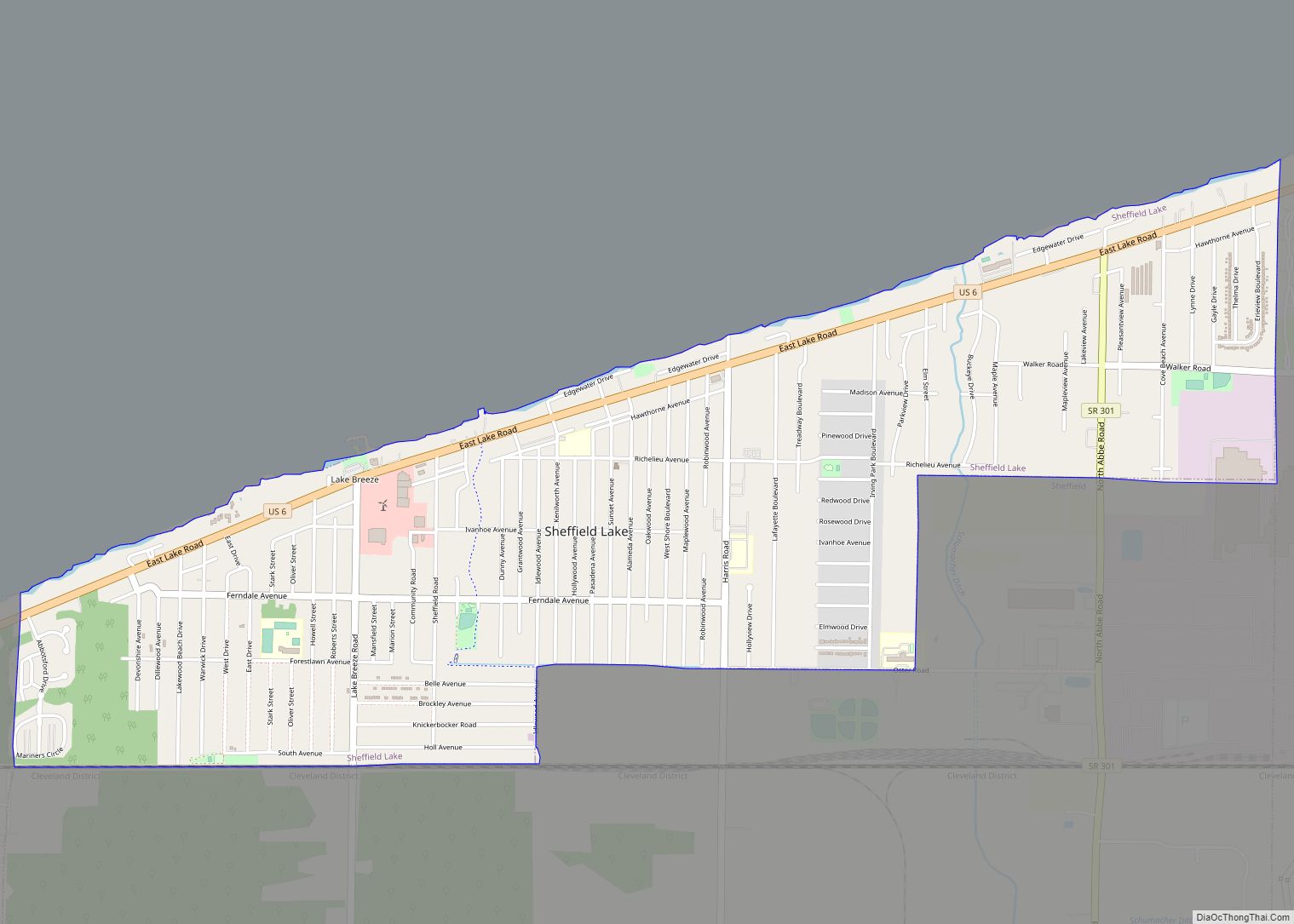
Sheffield Lake is a city in Lorain County, Ohio, United States. The population was 8,957 at the 2020 census. It is part of the Cleveland metropolitan area. Sheffield Lake city overview: Name: Sheffield Lake city LSAD Code: 25 LSAD Description: city (suffix) State: Ohio County: Lorain County Elevation: 600 ft (183 m) Total Area: 2.49 sq mi (6.46 km²) Land ... Read more
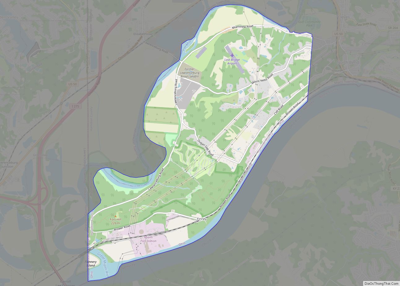
Shawnee is a census-designated place (CDP) in Miami Township, Hamilton County, Ohio, United States, 21 miles (34 km) west of downtown Cincinnati. The population of Shawnee was 747 at the 2020 census. Shawnee CDP overview: Name: Shawnee CDP LSAD Code: 57 LSAD Description: CDP (suffix) State: Ohio County: Hamilton County Elevation: 730 ft (220 m) Total Area: 6.94 sq mi ... Read more
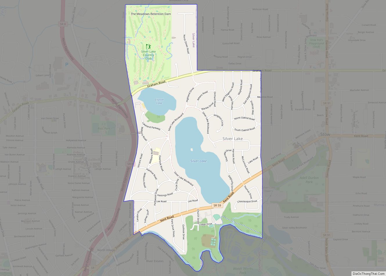
Silver Lake is a village in Summit County, Ohio, United States. The population was 2,516 at the 2020 census. It is a suburb of Akron and is part of the Akron Akron metropolitan area. Silver Lake is between and surrounded by the cities of Stow and Cuyahoga Falls. Silver Lake village overview: Name: Silver Lake ... Read more
