Sebring is a village in southwestern Mahoning County, Ohio, United States. The population was 4,191 as of the 2020 census. It is part of the Youngstown–Warren metropolitan area.
| Name: | Sebring village |
|---|---|
| LSAD Code: | 47 |
| LSAD Description: | village (suffix) |
| State: | Ohio |
| County: | Mahoning County |
| Elevation: | 1,099 ft (335 m) |
| Total Area: | 2.51 sq mi (6.51 km²) |
| Land Area: | 2.50 sq mi (6.46 km²) |
| Water Area: | 0.02 sq mi (0.04 km²) |
| Total Population: | 4,191 |
| Population Density: | 1,679.76/sq mi (648.48/km²) |
| ZIP code: | 44672 |
| Area code: | 234/330 |
| FIPS code: | 3971220 |
| GNISfeature ID: | 1049163 |
| Website: | http://www.sebringohio.net/ |
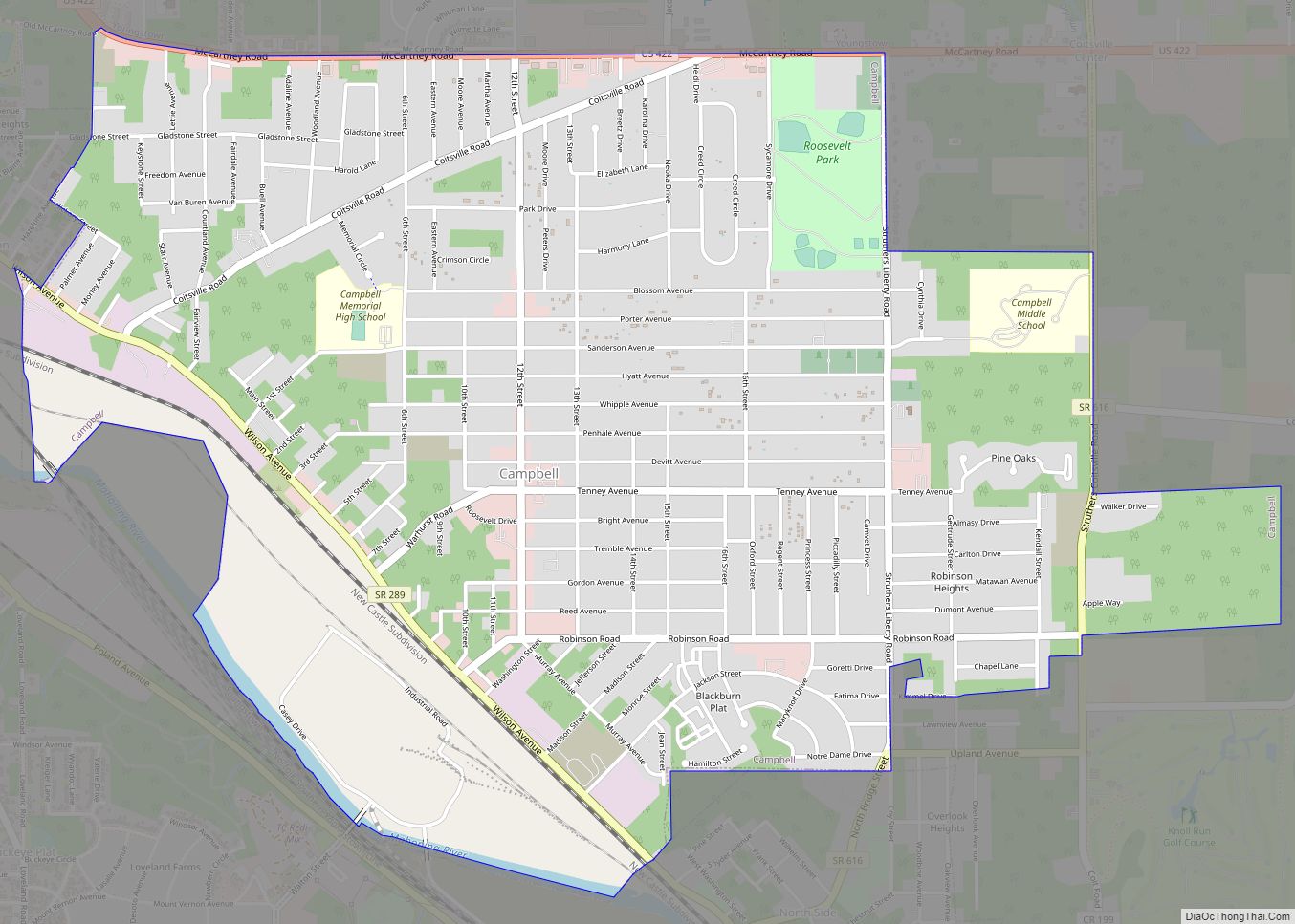
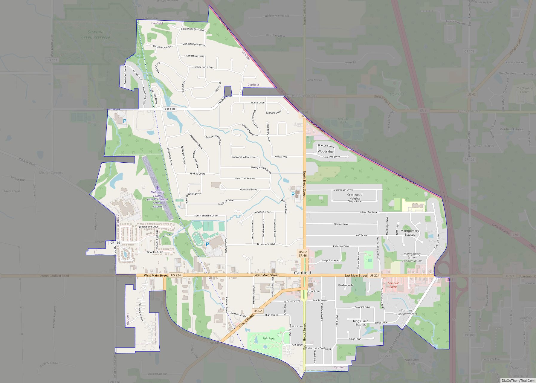
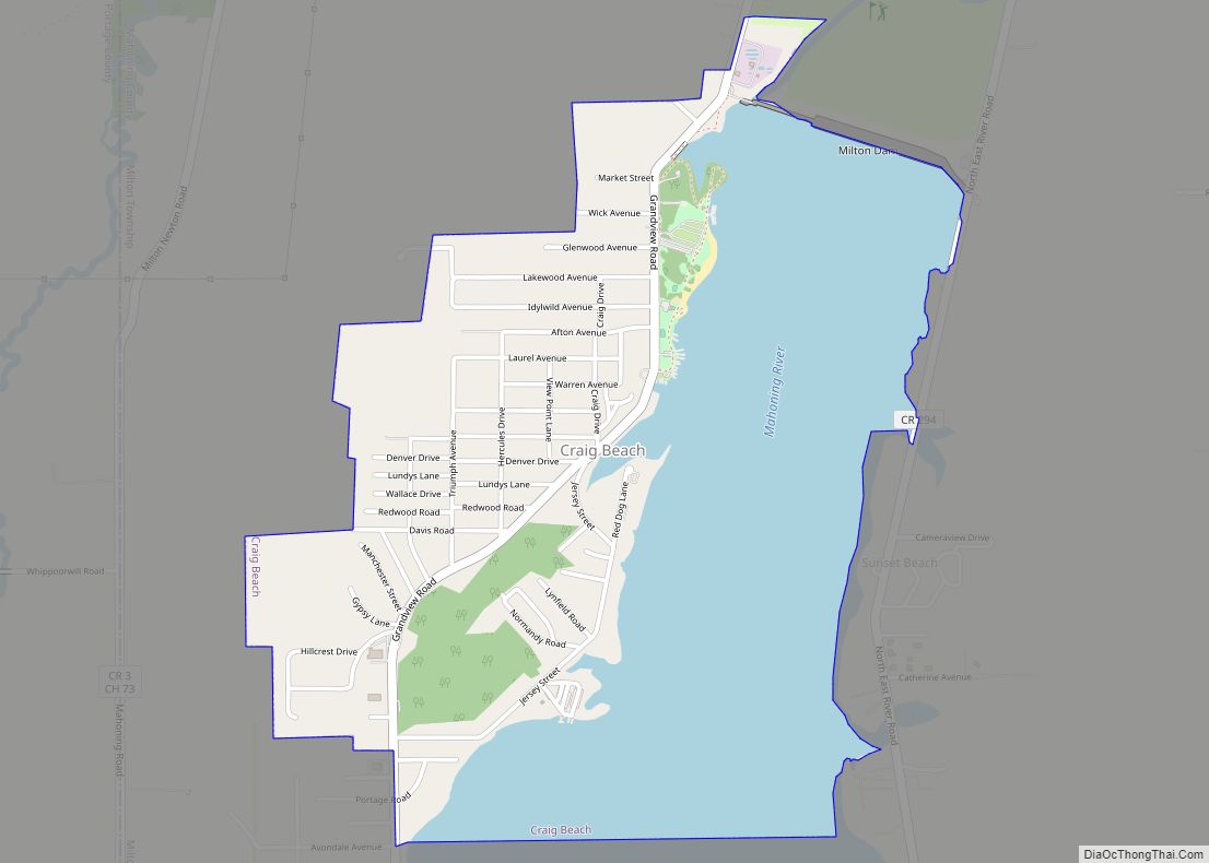
Online Interactive Map
Click on ![]() to view map in "full screen" mode.
to view map in "full screen" mode.
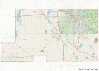
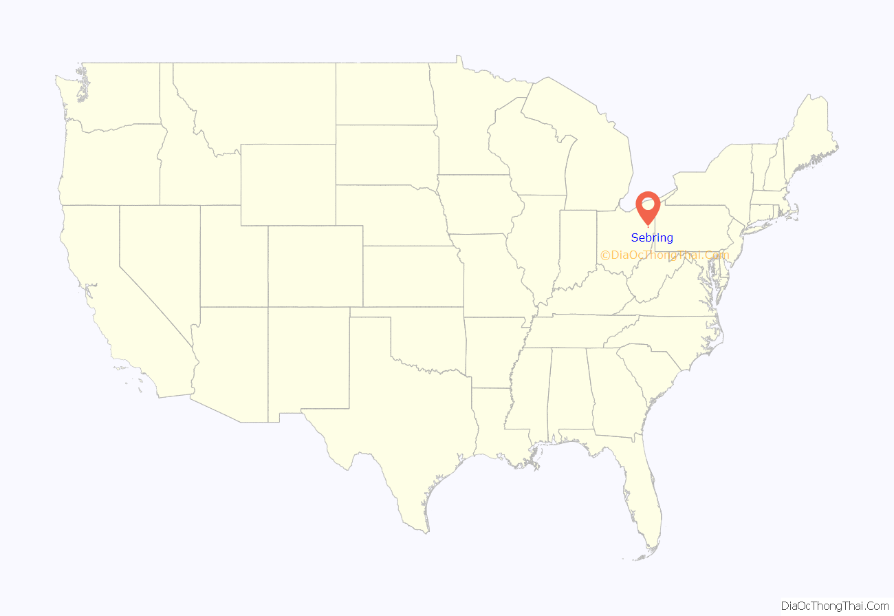
Sebring location map. Where is Sebring village?

History
Sebring was founded by the Sebring family from East Liverpool, Ohio, who were successful pottery owners that sought to establish their own pottery town. Sebring was incorporated 1899. Much of the original family built the establishing houses and factories in the town, which at their high employed approximately 3,300 workers. Only a few pottery decorating factories still exist, amongst other industries.
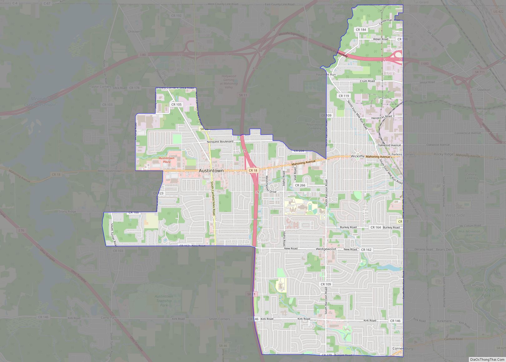
Sebring Road Map

Sebring city Satellite Map

Geography
Sebring is located at 40°55′25″N 81°1′27″W / 40.92361°N 81.02417°W / 40.92361; -81.02417 (40.923552, -81.024233).
According to the United States Census Bureau, the village has a total area of 2.52 square miles (6.53 km), of which 2.50 square miles (6.47 km) is land and 0.02 square miles (0.05 km) is water.
See also
Map of Ohio State and its subdivision:- Adams
- Allen
- Ashland
- Ashtabula
- Athens
- Auglaize
- Belmont
- Brown
- Butler
- Carroll
- Champaign
- Clark
- Clermont
- Clinton
- Columbiana
- Coshocton
- Crawford
- Cuyahoga
- Darke
- Defiance
- Delaware
- Erie
- Fairfield
- Fayette
- Franklin
- Fulton
- Gallia
- Geauga
- Greene
- Guernsey
- Hamilton
- Hancock
- Hardin
- Harrison
- Henry
- Highland
- Hocking
- Holmes
- Huron
- Jackson
- Jefferson
- Knox
- Lake
- Lake Erie
- Lawrence
- Licking
- Logan
- Lorain
- Lucas
- Madison
- Mahoning
- Marion
- Medina
- Meigs
- Mercer
- Miami
- Monroe
- Montgomery
- Morgan
- Morrow
- Muskingum
- Noble
- Ottawa
- Paulding
- Perry
- Pickaway
- Pike
- Portage
- Preble
- Putnam
- Richland
- Ross
- Sandusky
- Scioto
- Seneca
- Shelby
- Stark
- Summit
- Trumbull
- Tuscarawas
- Union
- Van Wert
- Vinton
- Warren
- Washington
- Wayne
- Williams
- Wood
- Wyandot
- Alabama
- Alaska
- Arizona
- Arkansas
- California
- Colorado
- Connecticut
- Delaware
- District of Columbia
- Florida
- Georgia
- Hawaii
- Idaho
- Illinois
- Indiana
- Iowa
- Kansas
- Kentucky
- Louisiana
- Maine
- Maryland
- Massachusetts
- Michigan
- Minnesota
- Mississippi
- Missouri
- Montana
- Nebraska
- Nevada
- New Hampshire
- New Jersey
- New Mexico
- New York
- North Carolina
- North Dakota
- Ohio
- Oklahoma
- Oregon
- Pennsylvania
- Rhode Island
- South Carolina
- South Dakota
- Tennessee
- Texas
- Utah
- Vermont
- Virginia
- Washington
- West Virginia
- Wisconsin
- Wyoming