Silver Lake is a village in Summit County, Ohio, United States. The population was 2,516 at the 2020 census. It is a suburb of Akron and is part of the Akron Akron metropolitan area. Silver Lake is between and surrounded by the cities of Stow and Cuyahoga Falls.
| Name: | Silver Lake village |
|---|---|
| LSAD Code: | 47 |
| LSAD Description: | village (suffix) |
| State: | Ohio |
| County: | Summit County |
| Founded: | 1918 |
| Incorporated: | 1918 |
| Elevation: | 1,053 ft (321 m) |
| Total Area: | 1.60 sq mi (4.15 km²) |
| Land Area: | 1.42 sq mi (3.68 km²) |
| Water Area: | 0.18 sq mi (0.47 km²) |
| Total Population: | 2,516 |
| Population Density: | 1,769.34/sq mi (682.92/km²) |
| ZIP code: | 44224 |
| Area code: | 330 |
| FIPS code: | 3972494 |
| GNISfeature ID: | 1065326 |
| Website: | http://www.villageofsilverlake.com |
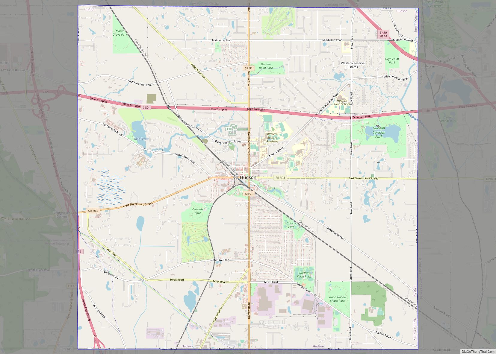
Online Interactive Map
Click on ![]() to view map in "full screen" mode.
to view map in "full screen" mode.
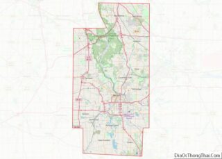
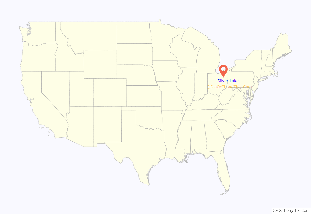
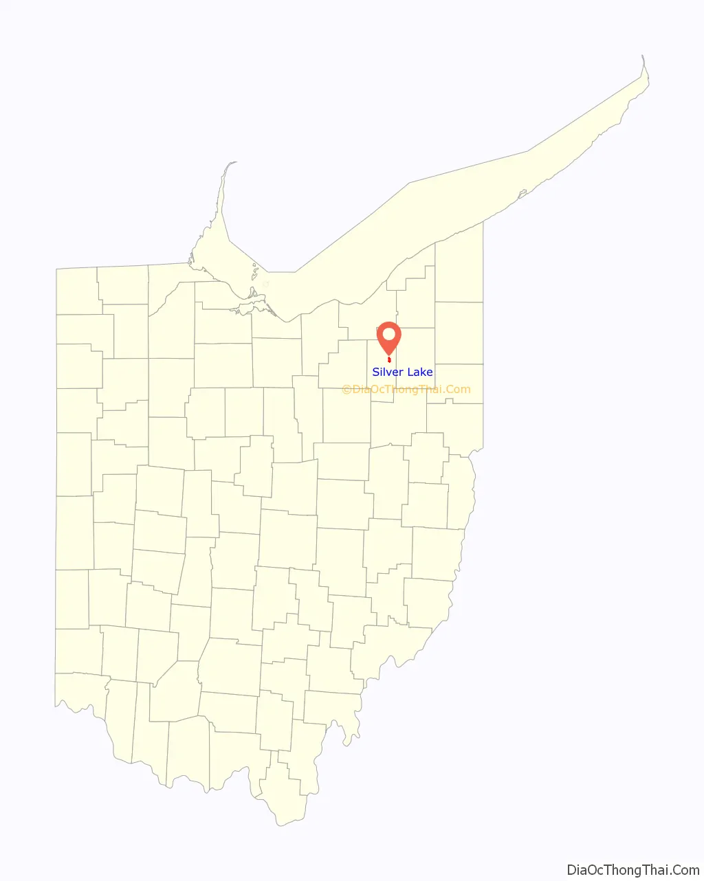
Silver Lake location map. Where is Silver Lake village?
History
Beginning in 1874, the lake and the land surrounding it was a popular amusement park in the Akron area. The lake was acquired in 1874 by Ralph H. Lodge, and he subsequently also purchased the land surrounding the body of water. It was originally a picnicking and swimming area, but before it closed, the 600-acre Silver Lake Amusement Park featured animal exhibits, a roller coaster, sport facilities, a dance hall, and a hotel, becoming one of the “biggest attractions in Ohio.” In its prime, the Silver Lake Amusement Park received over 10,000 visitors per day. It was sold in 1917 and subdivided for residential development, leading to the incorporation of the village in 1918.
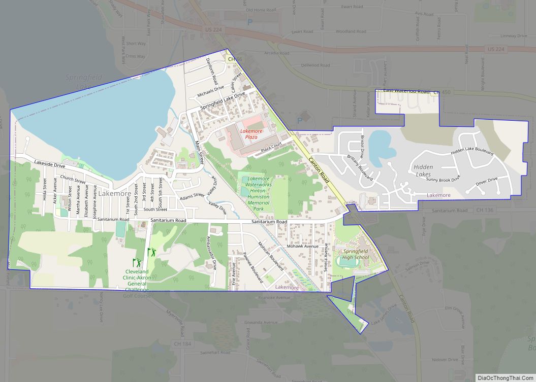
Silver Lake Road Map

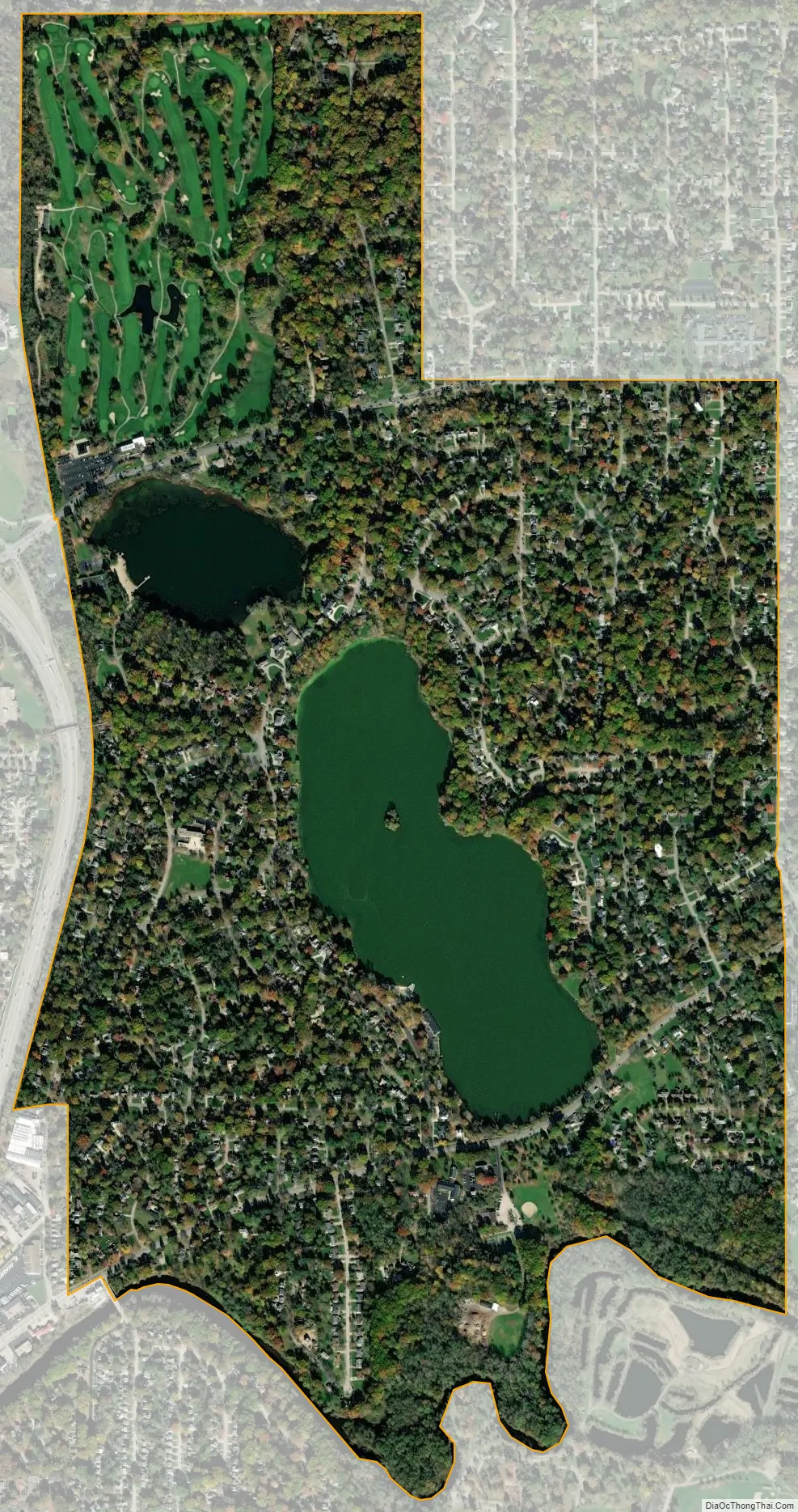
Silver Lake city Satellite Map
Geography
Silver Lake is located at 41°9′13″N 81°27′39″W / 41.15361°N 81.46083°W / 41.15361; -81.46083 (41.153556, -81.460860).
According to the United States Census Bureau, the village has a total area of 1.60 square miles (4.14 km), of which 0.18 square miles (0.47 km) is covered by water.
The village includes two lakes: Silver Lake and Crystal Lake.
See also
Map of Ohio State and its subdivision:- Adams
- Allen
- Ashland
- Ashtabula
- Athens
- Auglaize
- Belmont
- Brown
- Butler
- Carroll
- Champaign
- Clark
- Clermont
- Clinton
- Columbiana
- Coshocton
- Crawford
- Cuyahoga
- Darke
- Defiance
- Delaware
- Erie
- Fairfield
- Fayette
- Franklin
- Fulton
- Gallia
- Geauga
- Greene
- Guernsey
- Hamilton
- Hancock
- Hardin
- Harrison
- Henry
- Highland
- Hocking
- Holmes
- Huron
- Jackson
- Jefferson
- Knox
- Lake
- Lake Erie
- Lawrence
- Licking
- Logan
- Lorain
- Lucas
- Madison
- Mahoning
- Marion
- Medina
- Meigs
- Mercer
- Miami
- Monroe
- Montgomery
- Morgan
- Morrow
- Muskingum
- Noble
- Ottawa
- Paulding
- Perry
- Pickaway
- Pike
- Portage
- Preble
- Putnam
- Richland
- Ross
- Sandusky
- Scioto
- Seneca
- Shelby
- Stark
- Summit
- Trumbull
- Tuscarawas
- Union
- Van Wert
- Vinton
- Warren
- Washington
- Wayne
- Williams
- Wood
- Wyandot
- Alabama
- Alaska
- Arizona
- Arkansas
- California
- Colorado
- Connecticut
- Delaware
- District of Columbia
- Florida
- Georgia
- Hawaii
- Idaho
- Illinois
- Indiana
- Iowa
- Kansas
- Kentucky
- Louisiana
- Maine
- Maryland
- Massachusetts
- Michigan
- Minnesota
- Mississippi
- Missouri
- Montana
- Nebraska
- Nevada
- New Hampshire
- New Jersey
- New Mexico
- New York
- North Carolina
- North Dakota
- Ohio
- Oklahoma
- Oregon
- Pennsylvania
- Rhode Island
- South Carolina
- South Dakota
- Tennessee
- Texas
- Utah
- Vermont
- Virginia
- Washington
- West Virginia
- Wisconsin
- Wyoming