Sidney is a city in Shelby County, Ohio, located approximately 36 mi (58 km) north of Dayton and 100 mi (161 km) south of Toledo. The population was 20,421 at the time of the 2020 census. It is named after English poet Philip Sidney and is the county seat of Shelby County. Many of the city’s elementary schools are also named after famous writers, including Ralph Waldo Emerson, Henry Wadsworth Longfellow, and John Greenleaf Whittier. Sidney was the recipient of the 1964 All-America City Award. In 2009, it was the subject of the documentary film 45365.
| Name: | Sidney city |
|---|---|
| LSAD Code: | 25 |
| LSAD Description: | city (suffix) |
| State: | Ohio |
| County: | Shelby County |
| Elevation: | 951 ft (290 m) |
| Total Area: | 12.10 sq mi (31.34 km²) |
| Land Area: | 11.97 sq mi (31.00 km²) |
| Water Area: | 0.13 sq mi (0.34 km²) |
| Total Population: | 20,589 |
| Population Density: | 1,720.05/sq mi (664.10/km²) |
| ZIP code: | 45365, 45367 |
| Area code: | 937, 326 |
| FIPS code: | 3972424 |
| GNISfeature ID: | 1065321 |
| Website: | www.sidneyoh.com |
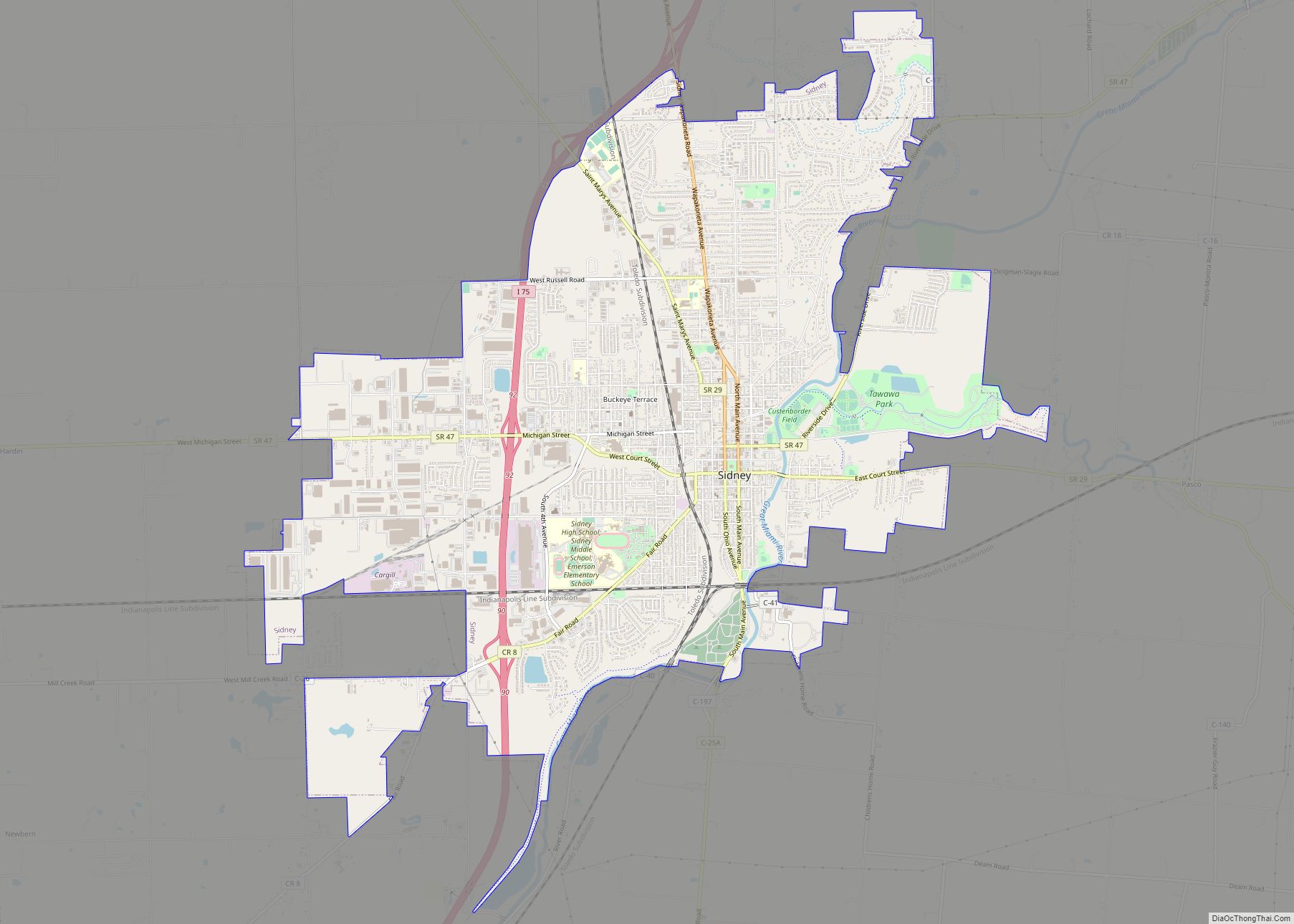
Online Interactive Map
Click on ![]() to view map in "full screen" mode.
to view map in "full screen" mode.
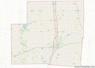
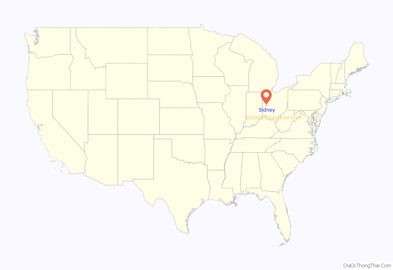
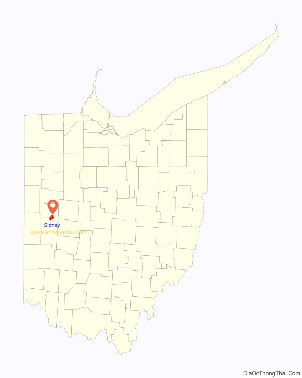
Sidney location map. Where is Sidney city?
History
From the 1840s to 1913, canal boats carried Shelby County’s products to Cincinnati or Toledo. Sidney was crossed by the Miami and Erie Canal’s Sidney or Port Jefferson Feeder Branch. Before railroads came to Sidney, the canal provided most transportation, as roads were unpaved and not usable in all seasons. Part of the canal remains south of Water Street.
The City of Sidney, named after Sir Philip Sidney, a well-known poet and member of British Parliament, was originally a 70-acre (280,000 m) parcel of land located along the west side of the Great Miami River. This land was donated by Charles Starrett to be used as the site of a new town designated to be the county seat of Shelby County. The area around Sidney was once the richly forested hunting ground of the Shawnee and Miami Indian nations. This fertile area was developed as agricultural lands over time.
The construction of the Miami-Erie Canal between 1825 and 1837 connected Sidney in a north–south direction with the major trade centers in Ohio. In addition to opening the first significant “outside” trade for Sidney, the construction of the canal attracted an influx of settlers to the area.
As the influence of the canal declined, another transportation element, railroads, began to develop in Sidney. East–west rail began to be laid in 1851, followed by north–south rail in 1856. Sidney is still served by these railroad lines.
In the 1950s, the Interstate Highway contributed to the development of Sidney. It was named as “All-America City” in 1964. Today, Interstate 75 connects Sidney with Canada to the north, and Florida to the south. Sidney has four interchanges with Interstate 75, providing access for both commercial and industrial users.
Sidney is located 40 miles (64 km) north of Dayton, 85 miles (137 km) west of Columbus, 100 miles (160 km) south of Toledo, and 120 miles (190 km) east of Indianapolis. Sidney offers an historic downtown featuring the famous Louis Sullivan-designed People’s Savings & Loan building, the Monumental Building (erected as a memorial to county residents who had died in the Civil War), and the Shelby County Courthouse. The Courthouse, which occupies one city-block known as Court Square, was recently named by the National Trust for Historic Preservation as one of the “Great American Public Places”.
Sidney has an extensive parks and recreation system. When the city’s first comprehensive plan was being developed in the mid-1950s, the city decided to have a park or recreation area within a half-mile of every residence. This goal has resulted in a system of 14 neighborhood parks, a baseball complex, softball complex, soccer complex, municipal swimming pool, and the 180-acre (0.73 km) Tawawa Park, a nature and picnic area.
Sidney is the hometown of Paul Lauterbur, a renowned scientist and Nobel Prize winner who helped develop the MRI.
In 1984, President Ronald Reagan visited the city of Sidney on a train (the same train that President Franklin D. Roosevelt used during his visit to Sidney in 1944) while touring the country. President George W. Bush visited the town in 2004, eating at the Spot Restaurant in downtown Sidney. Republican presidential candidate Mitt Romney visited the Shelby County Fairgrounds in Sidney in 2012.
Sidney, Iowa, derives its name from the community.
The town of Buckeye, Arizona, was originally named after Sidney. Malin M. Jackson, who built Arizona‘s Buckeye Canal, was from Sidney.
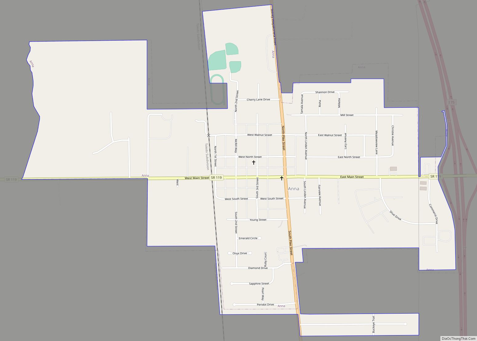
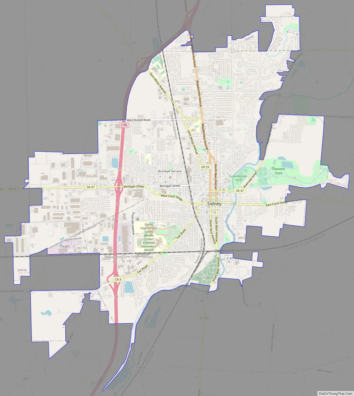
Sidney Road Map
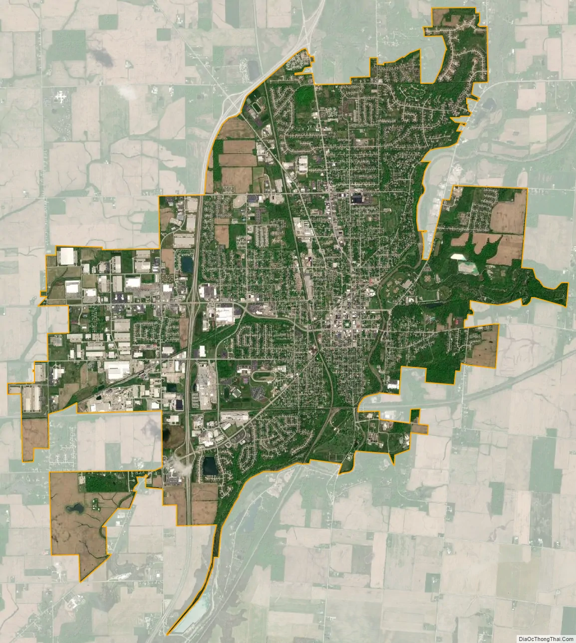
Sidney city Satellite Map
Geography
According to the United States Census Bureau, the city has a total area of 12.15 square miles (31.47 km), of which 12.02 square miles (31.13 km) is land and 0.13 square miles (0.34 km) is water.
See also
Map of Ohio State and its subdivision:- Adams
- Allen
- Ashland
- Ashtabula
- Athens
- Auglaize
- Belmont
- Brown
- Butler
- Carroll
- Champaign
- Clark
- Clermont
- Clinton
- Columbiana
- Coshocton
- Crawford
- Cuyahoga
- Darke
- Defiance
- Delaware
- Erie
- Fairfield
- Fayette
- Franklin
- Fulton
- Gallia
- Geauga
- Greene
- Guernsey
- Hamilton
- Hancock
- Hardin
- Harrison
- Henry
- Highland
- Hocking
- Holmes
- Huron
- Jackson
- Jefferson
- Knox
- Lake
- Lake Erie
- Lawrence
- Licking
- Logan
- Lorain
- Lucas
- Madison
- Mahoning
- Marion
- Medina
- Meigs
- Mercer
- Miami
- Monroe
- Montgomery
- Morgan
- Morrow
- Muskingum
- Noble
- Ottawa
- Paulding
- Perry
- Pickaway
- Pike
- Portage
- Preble
- Putnam
- Richland
- Ross
- Sandusky
- Scioto
- Seneca
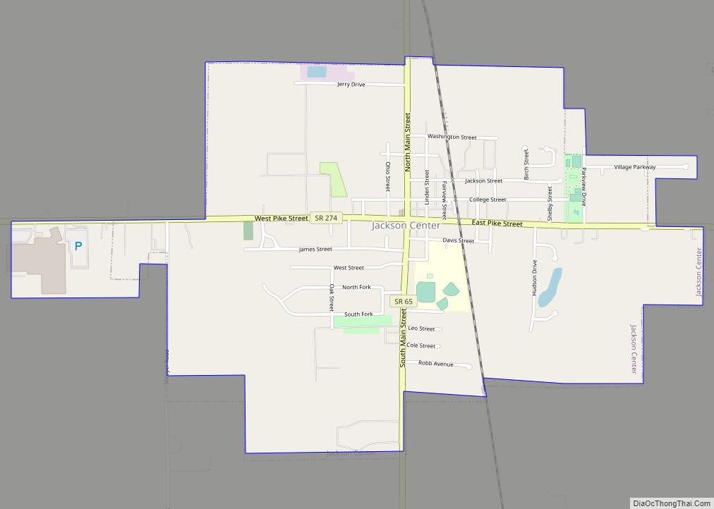
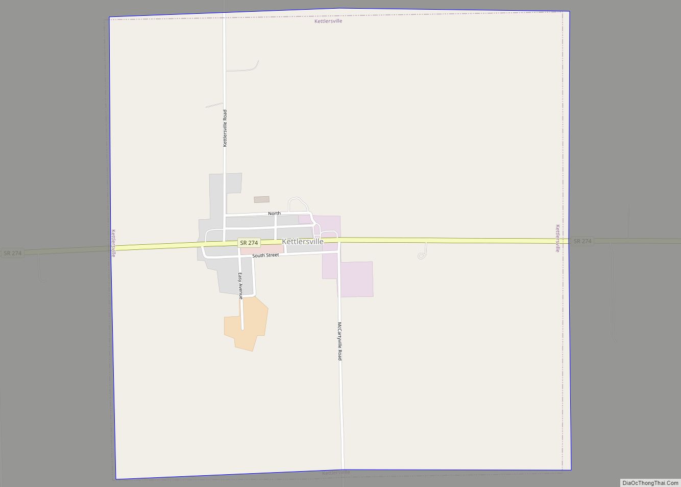
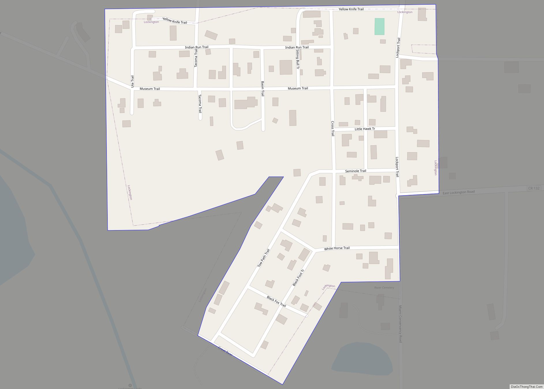
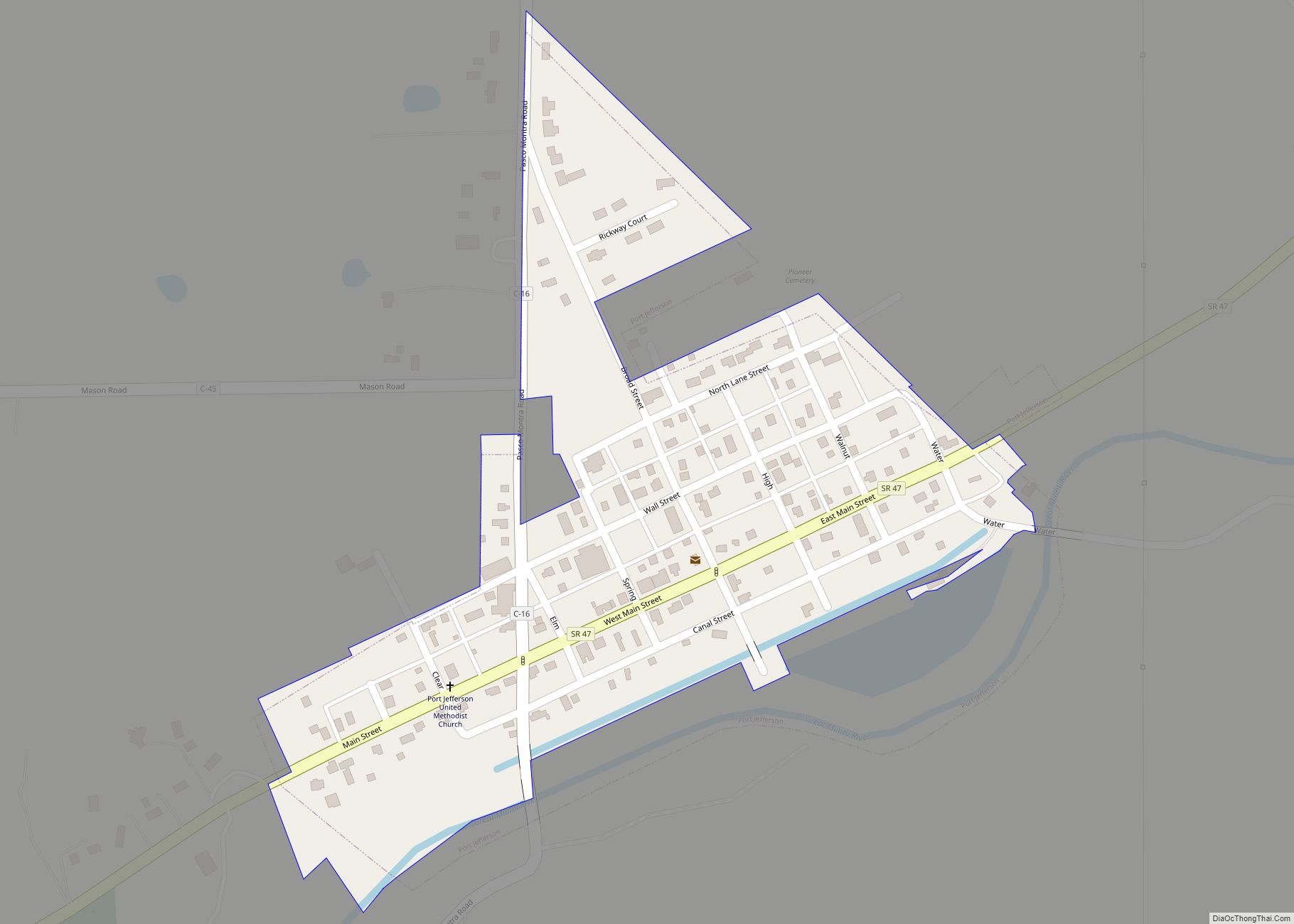
- Shelby
- Stark
- Summit
- Trumbull
- Tuscarawas
- Union
- Van Wert
- Vinton
- Warren
- Washington
- Wayne
- Williams
- Wood
- Wyandot
- Alabama
- Alaska
- Arizona
- Arkansas
- California
- Colorado
- Connecticut
- Delaware
- District of Columbia
- Florida
- Georgia
- Hawaii
- Idaho
- Illinois
- Indiana
- Iowa
- Kansas
- Kentucky
- Louisiana
- Maine
- Maryland
- Massachusetts
- Michigan
- Minnesota
- Mississippi
- Missouri
- Montana
- Nebraska
- Nevada
- New Hampshire
- New Jersey
- New Mexico
- New York
- North Carolina
- North Dakota
- Ohio
- Oklahoma
- Oregon
- Pennsylvania
- Rhode Island
- South Carolina
- South Dakota
- Tennessee
- Texas
- Utah
- Vermont
- Virginia
- Washington
- West Virginia
- Wisconsin
- Wyoming