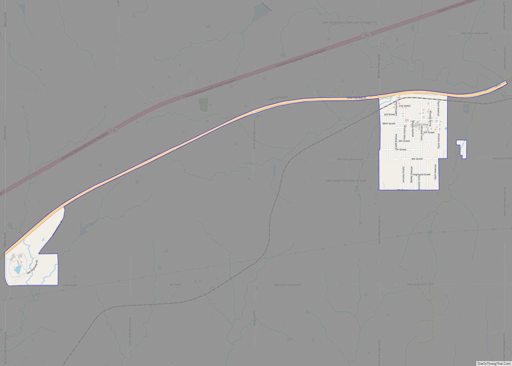
Depew is a town in Creek County, Oklahoma, United States. It is 41 miles southwest of Tulsa. The population was 476 at the 2010 census, a decline of 15.6 percent from the figure of 564 recorded in 2000. The town was named in honor of New York Senator Chauncey Depew. Depew town overview: Name: Depew ... Read more
Oklahoma Cities and Places
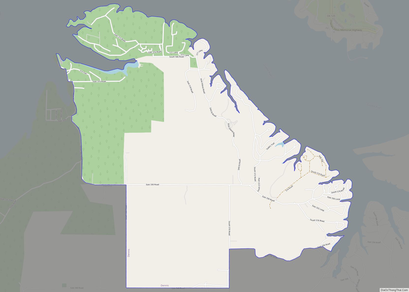
Dennis is an unincorporated community and census-designated place (CDP) in Delaware County, Oklahoma, near Grand Lake. The population was 195 at the 2010 census. The Dennis Post Office existed from March 25, 1914, until January 31, 1956. It is said to be named for a local resident, Peter Dennis. Dennis CDP overview: Name: Dennis CDP ... Read more
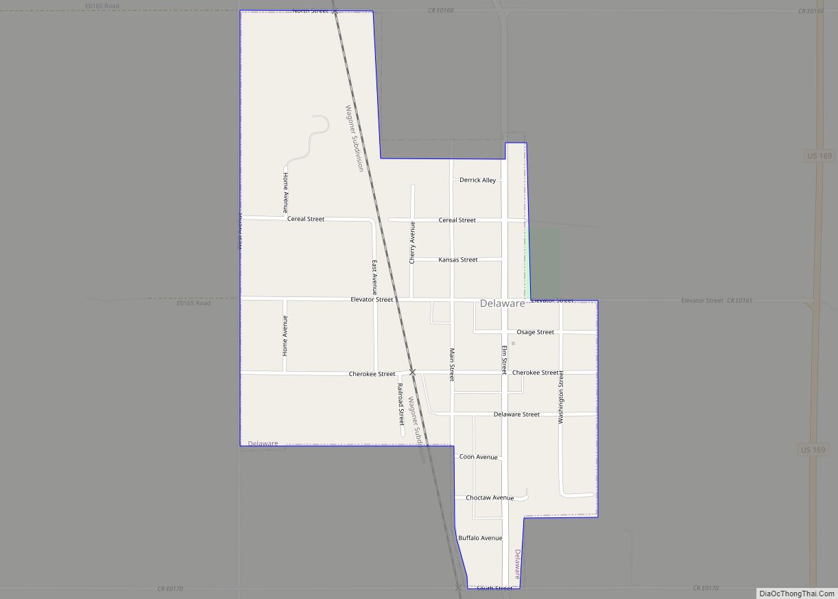
Delaware is a town in Nowata County, Oklahoma, United States. The population was 267 at the 2020 census, a decline of 35.9 percent from the figure of 417 recorded in 2010. The town is named for the Eastern Delaware tribe that moved into this area from Kansas after signing a treaty with the Cherokee Nation ... Read more
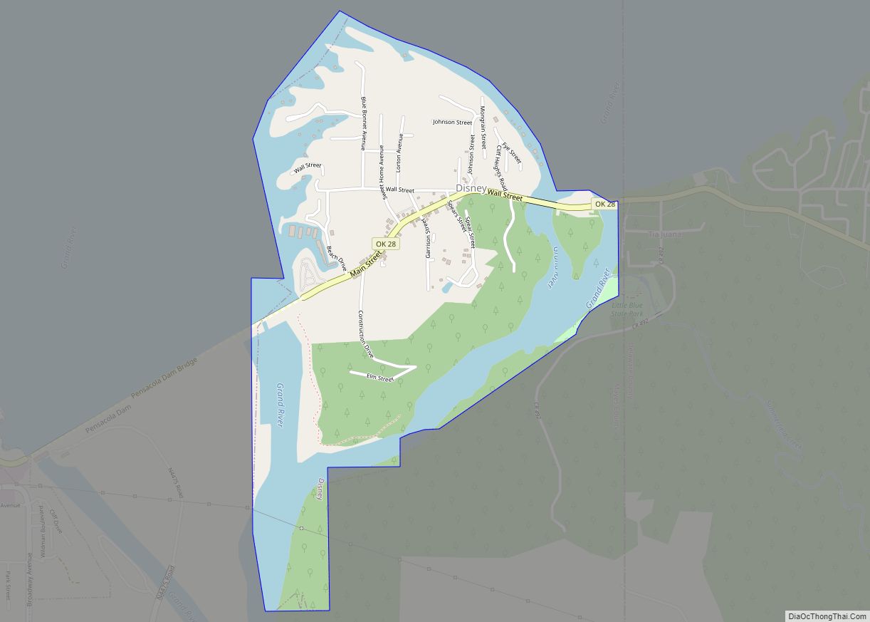
Disney is a town in Mayes County, Oklahoma, United States. The population was 311 at the 2010 census. The town is named for former Oklahoma U.S. Congressman Wesley E. Disney and has no affiliation with The Walt Disney Company or Walt Disney. Disney town overview: Name: Disney town LSAD Code: 43 LSAD Description: town (suffix) ... Read more
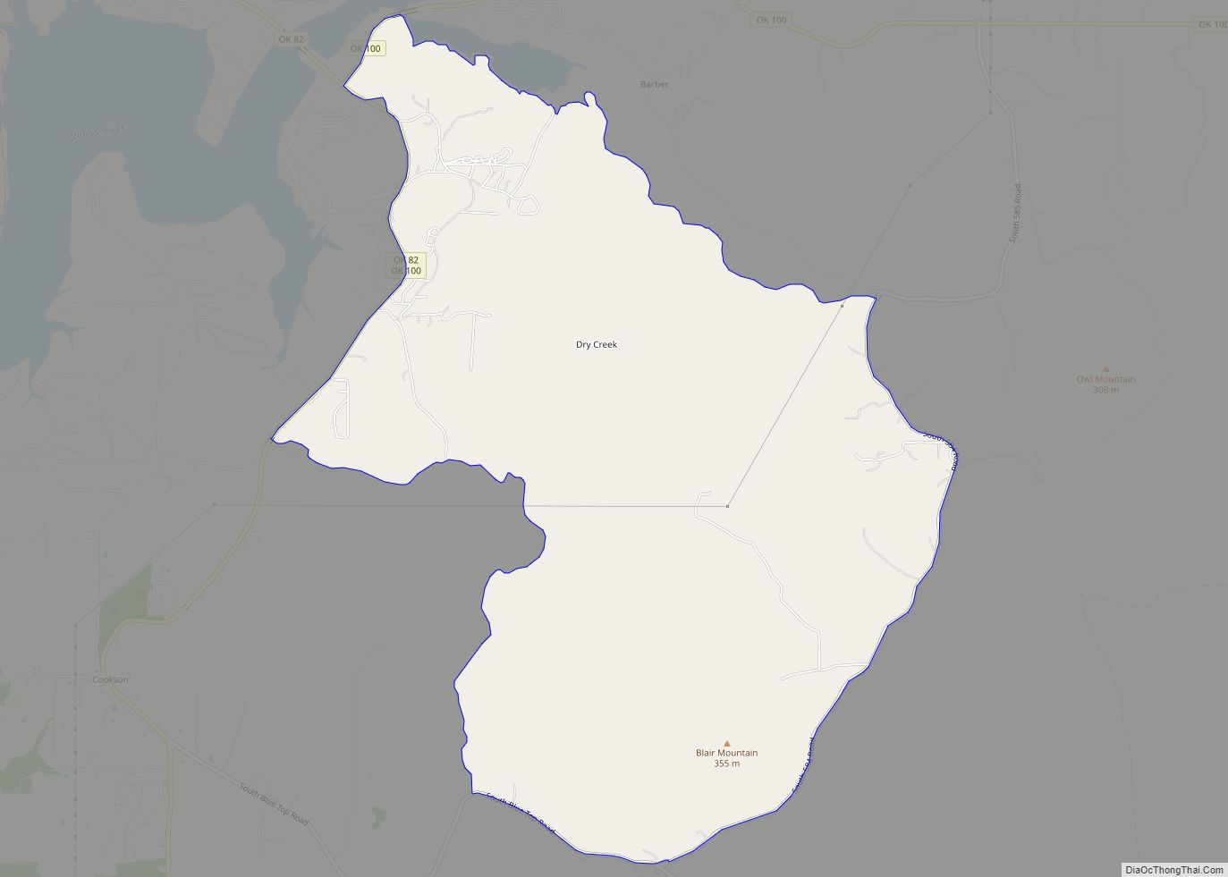
Dry Creek is an unincorporated community and census-designated place (CDP) in Cherokee County, Oklahoma, United States. The population was 227 at the 2010 census. Dry Creek CDP overview: Name: Dry Creek CDP LSAD Code: 57 LSAD Description: CDP (suffix) State: Oklahoma County: Cherokee County Total Area: 8.70 sq mi (22.53 km²) Land Area: 8.69 sq mi (22.51 km²) Water Area: 0.01 sq mi ... Read more
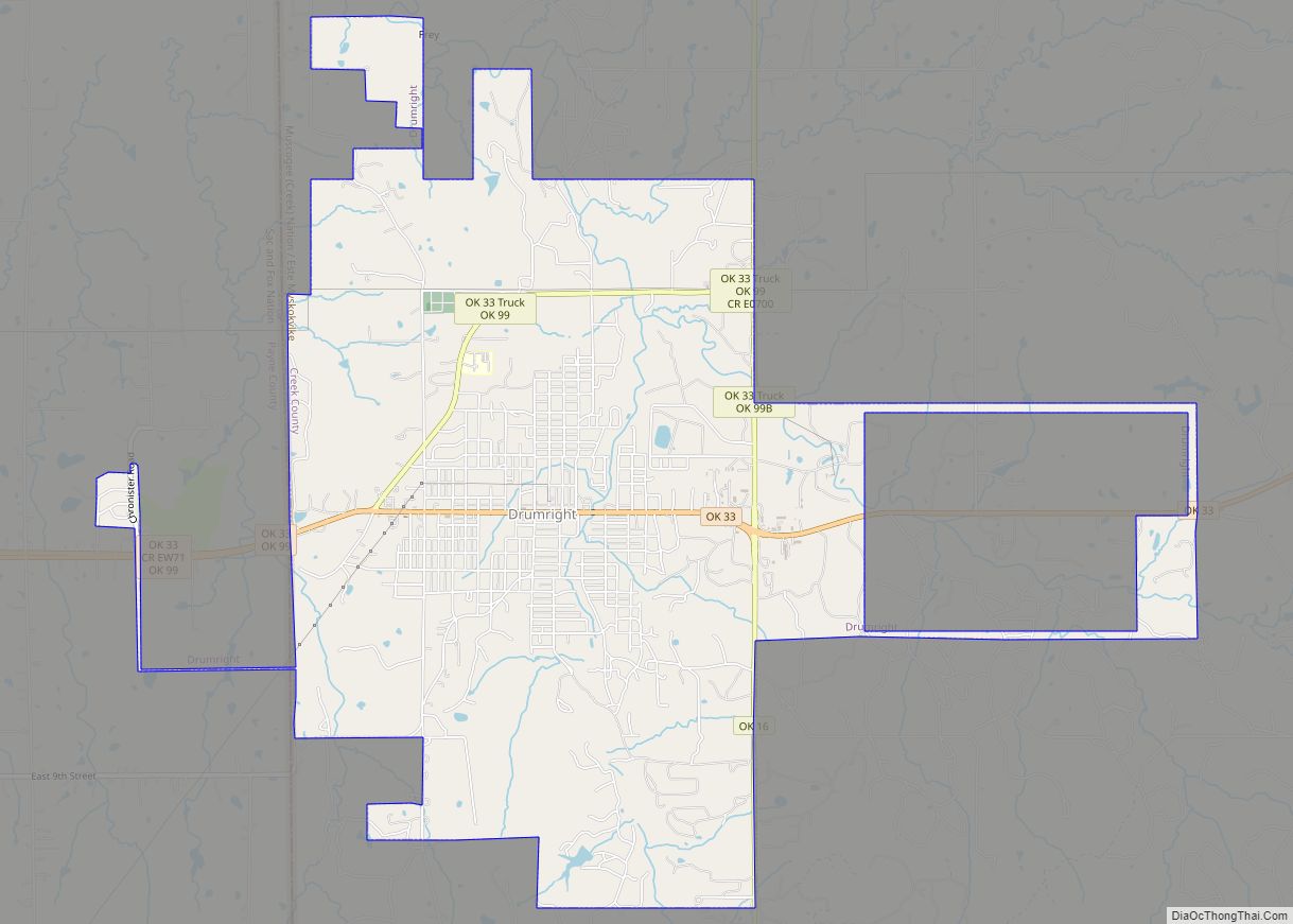
Drumright is a city in Creek and Payne counties in the U.S. state of Oklahoma. It began as an oil boom town. However, the population has declined as oil production has waned in the area. The population was 2,907 at the 2010 census, a figure almost unchanged from 2,905 in 2000. Drumright and nearby Cushing ... Read more
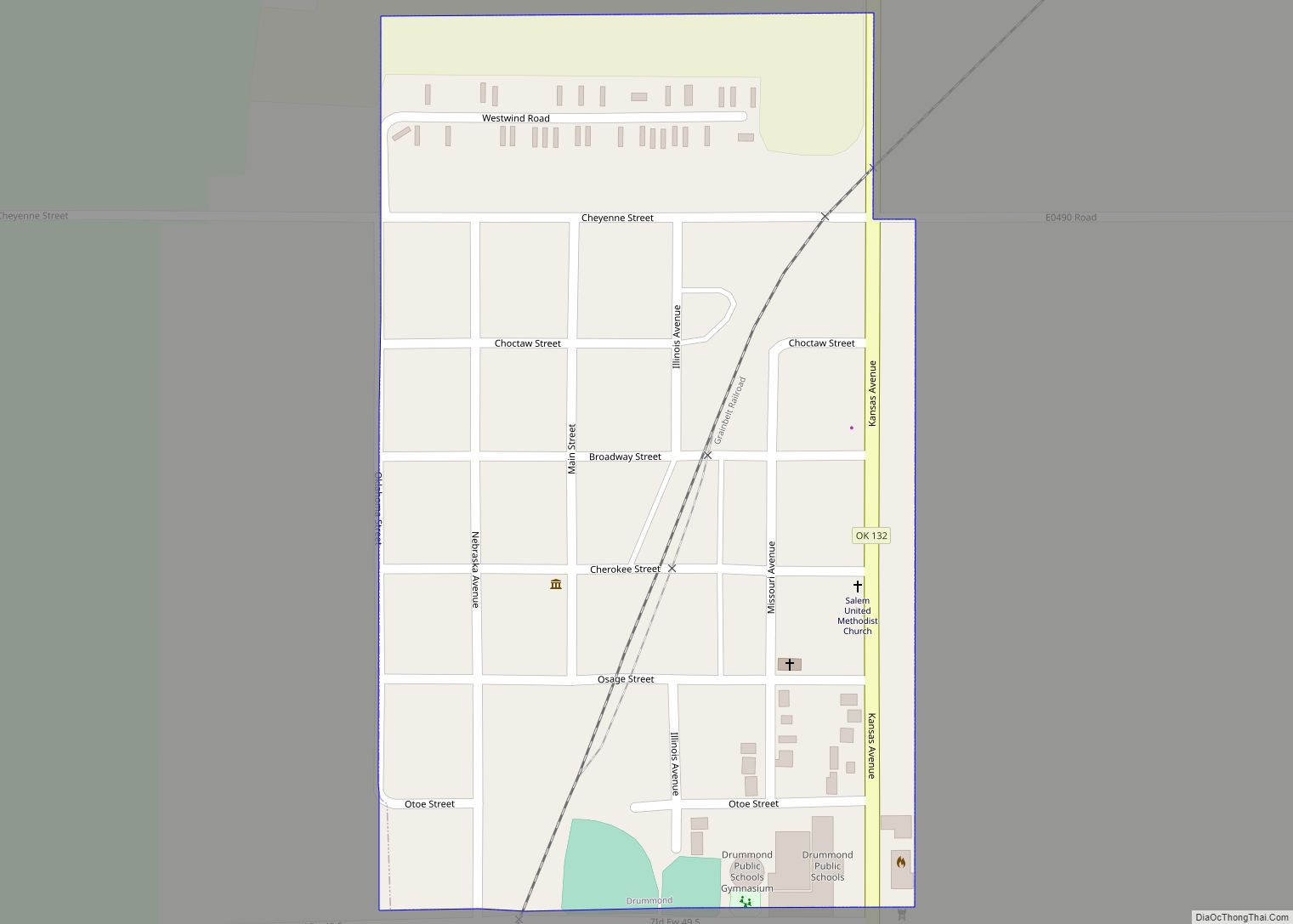
Drummond is a town in Garfield County, Oklahoma, United States. The population was 455 at the 2010 census, up from 405 in 2000. Drummond town overview: Name: Drummond town LSAD Code: 43 LSAD Description: town (suffix) State: Oklahoma County: Garfield County Elevation: 1,224 ft (373 m) Total Area: 0.27 sq mi (0.71 km²) Land Area: 0.27 sq mi (0.71 km²) Water Area: 0.00 sq mi ... Read more
Drowning Creek is an unincorporated community and census-designated place (CDP) in Delaware County, Oklahoma, United States. The population was 155 at the 2010 census. Drowning Creek CDP overview: Name: Drowning Creek CDP LSAD Code: 57 LSAD Description: CDP (suffix) State: Oklahoma County: Delaware County Elevation: 756 ft (230 m) Total Area: 0.89 sq mi (2.30 km²) Land Area: 0.89 sq mi (2.30 km²) ... Read more
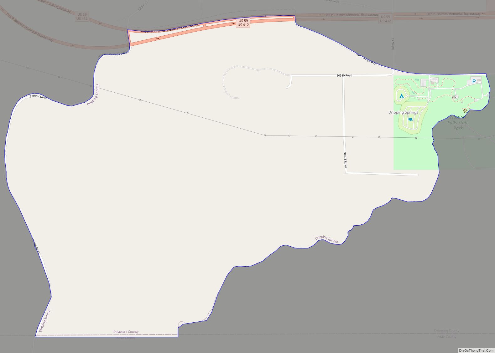
Dripping Springs is an unincorporated community and census-designated place (CDP) in Delaware County, Oklahoma, United States. The population was 50 at the 2010 census, up from the figure of 41 recorded in 2000. Dripping Springs CDP overview: Name: Dripping Springs CDP LSAD Code: 57 LSAD Description: CDP (suffix) State: Oklahoma County: Delaware County Elevation: 1,100 ft ... Read more
Dover is a town in Kingfisher County, Oklahoma, United States. The population was 464 at the 2010 census. a 26.4 percent gain over the figure of 367 in 2000. Dover town overview: Name: Dover town LSAD Code: 43 LSAD Description: town (suffix) State: Oklahoma County: Kingfisher County Elevation: 1,037 ft (316 m) Total Area: 0.31 sq mi (0.80 km²) Land ... Read more
Douglas is a town in Garfield County, Oklahoma, United States. The population was 32 at the 2010 census. Douglas town overview: Name: Douglas town LSAD Code: 43 LSAD Description: town (suffix) State: Oklahoma County: Garfield County Elevation: 1,145 ft (349 m) Total Area: 0.25 sq mi (0.66 km²) Land Area: 0.25 sq mi (0.66 km²) Water Area: 0.00 sq mi (0.00 km²) Total Population: 51 Population ... Read more
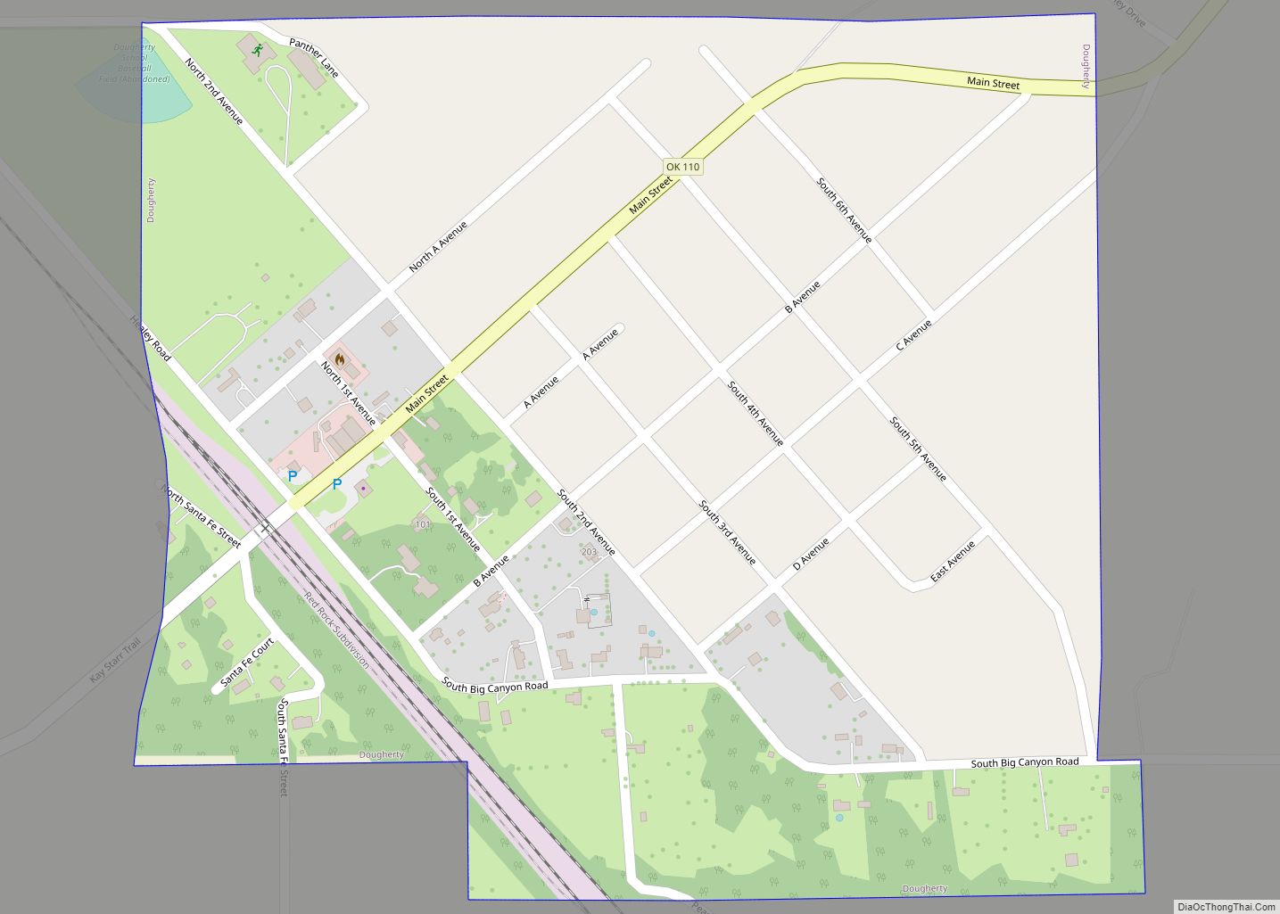
Dougherty is a town in Murray County, Oklahoma, United States. The population was 224 at the 2000 census. American jazz and pop singer Kay Starr was born in Dougherty. Dougherty town overview: Name: Dougherty town LSAD Code: 43 LSAD Description: town (suffix) State: Oklahoma County: Murray County Elevation: 774 ft (236 m) Total Area: 0.38 sq mi (0.98 km²) Land ... Read more
