Dover is a town in Kingfisher County, Oklahoma, United States. The population was 464 at the 2010 census. a 26.4 percent gain over the figure of 367 in 2000.
| Name: | Dover town |
|---|---|
| LSAD Code: | 43 |
| LSAD Description: | town (suffix) |
| State: | Oklahoma |
| County: | Kingfisher County |
| Elevation: | 1,037 ft (316 m) |
| Total Area: | 0.31 sq mi (0.80 km²) |
| Land Area: | 0.31 sq mi (0.80 km²) |
| Water Area: | 0.00 sq mi (0.00 km²) |
| Total Population: | 400 |
| Population Density: | 1,286.17/sq mi (497.19/km²) |
| ZIP code: | 73734 |
| Area code: | 405/572 |
| FIPS code: | 4021350 |
| GNISfeature ID: | 2412447 |
Online Interactive Map
Click on ![]() to view map in "full screen" mode.
to view map in "full screen" mode.
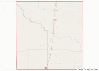
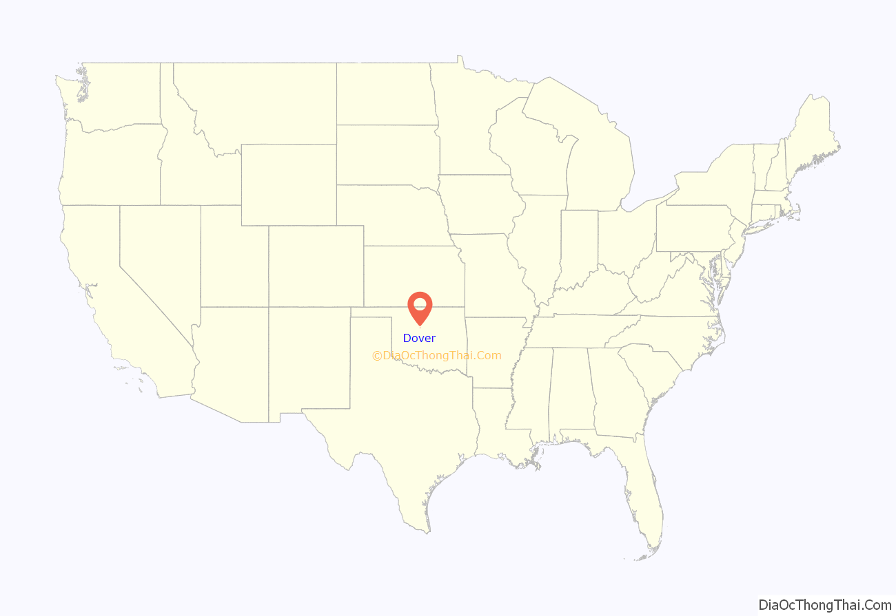
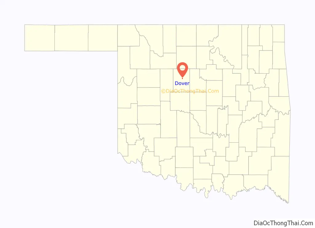
Dover location map. Where is Dover town?
History
The area around Dover was ideal for cattle grazing, By 1884, all the land had been leased to cattlemen. The Red Fork Traders’ Ranch had been established near the Chisholm Trail. The land was opened for settlement by the Land Run of 1889, and the trading post was well-placed to benefit from the farmers that settled nearby.
The Rock Island built a track through the Traders’ Ranch and constructed abridge across the Cimarron River in October, 1889. A settlement called Red Wing grew up around the ranch. In 1890, a post office designated “Dover” was established, and the community took that name. By 1893, the community had an estimated 150 residents, growing to about 500 by 1910.
Dover was the site on April 3, 1895, where the outlaw gang known as the Wild Bunch held up a Rock Island train. The gang was unable to open the safe containing $50,000 in army payroll, so they robbed the passengers instead. A posse surprised and scattered the gang around noon. Thus Dover has the distinction of being the place of the last robbery by the Wild Bunch as a gang, although its individual members kept up the robberies and killings until their own demises.
On September 18, 1906, a bridge across the Cimarron River near Dover collapsed beneath a Rock Island train bound for Fort Worth, Texas from Chicago. The bridge was a temporary structure unable to withstand the pressure of debris and high water. Replacement with a permanent structure had been delayed by the railroad for financial reasons. Several sources report that over 100 persons were killed, although this figure is disputed. The true number may be as low as 4.
A tornado in May 1999 destroyed about one-third of the town, killing one.
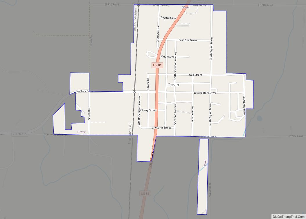
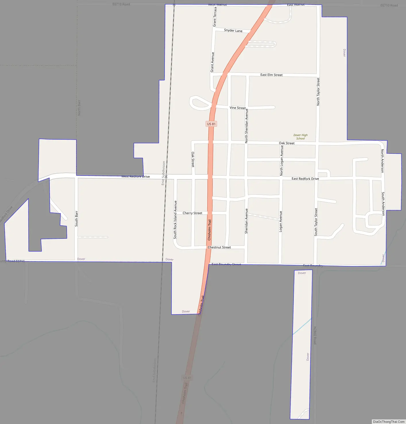
Dover Road Map
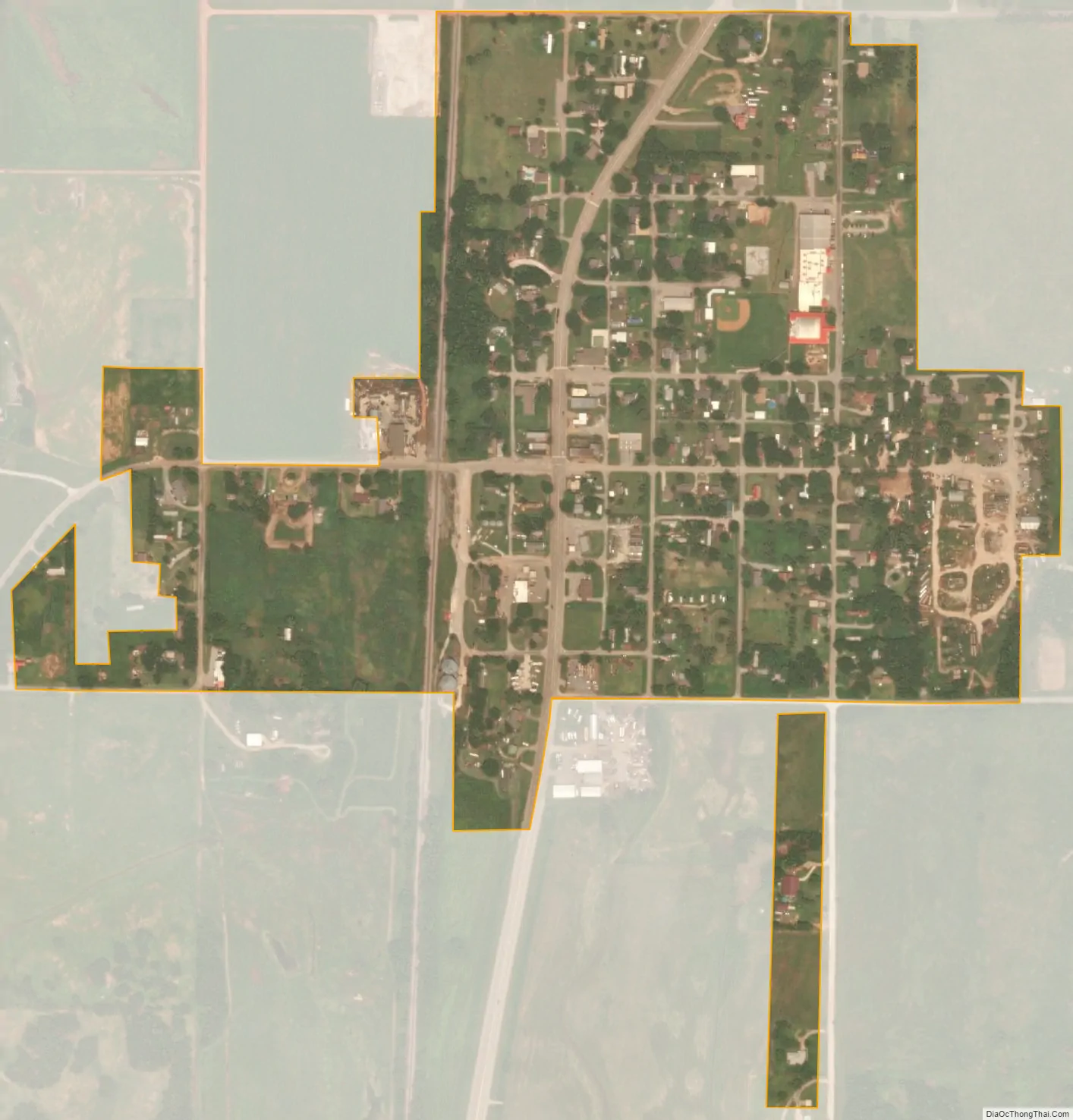
Dover city Satellite Map
Geography
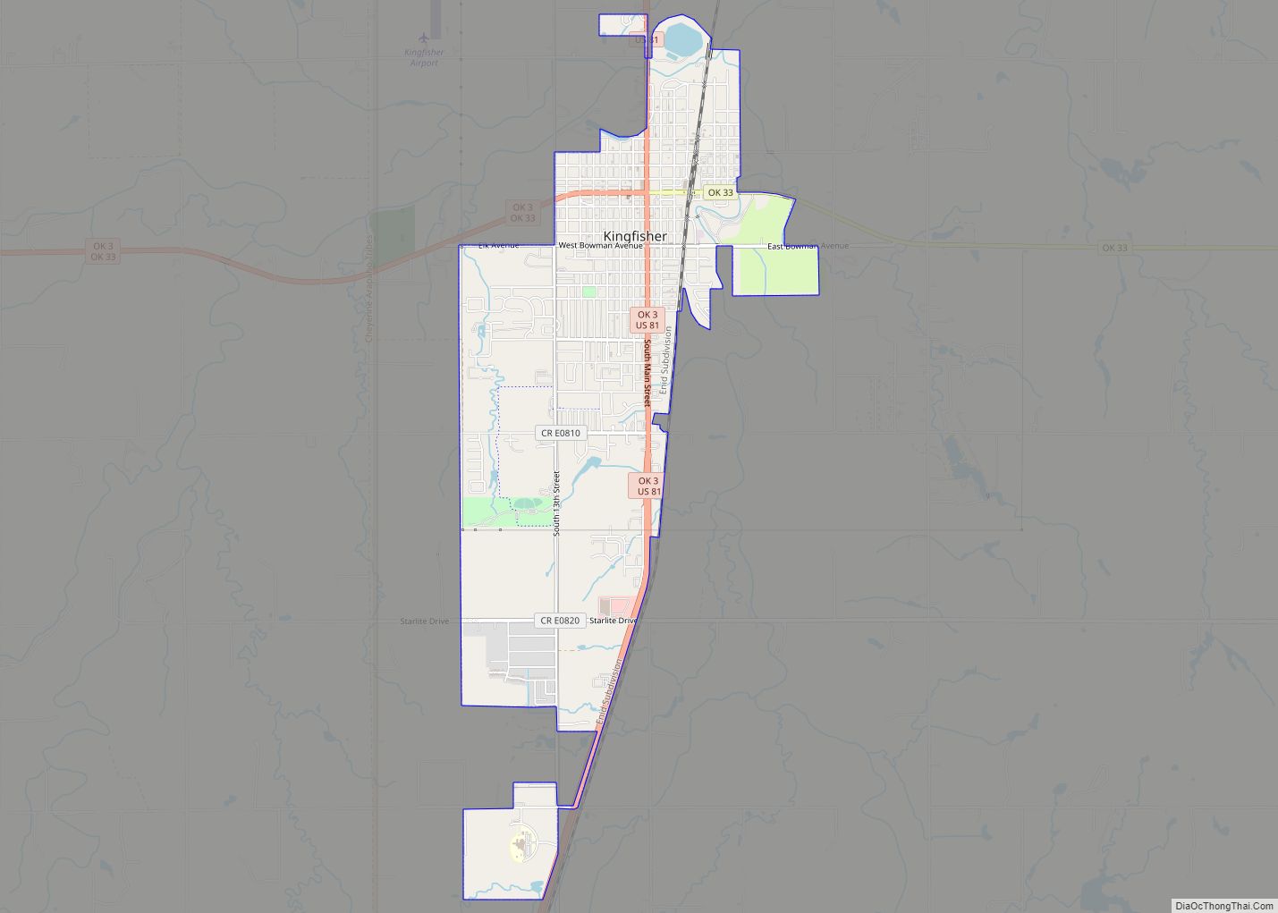
Dover is located 9 miles (14 km) north of Kingfisher.
According to the United States Census Bureau, the town has a total area of 0.3 square miles (0.78 km), all land.
See also
Map of Oklahoma State and its subdivision:- Adair
- Alfalfa
- Atoka
- Beaver
- Beckham
- Blaine
- Bryan
- Caddo
- Canadian
- Carter
- Cherokee
- Choctaw
- Cimarron
- Cleveland
- Coal
- Comanche
- Cotton
- Craig
- Creek
- Custer
- Delaware
- Dewey
- Ellis
- Garfield
- Garvin
- Grady
- Grant
- Greer
- Harmon
- Harper
- Haskell
- Hughes
- Jackson
- Jefferson
- Johnston
- Kay
- Kingfisher
- Kiowa
- Latimer
- Le Flore
- Lincoln
- Logan
- Love
- Major
- Marshall
- Mayes
- McClain
- McCurtain
- McIntosh
- Murray
- Muskogee
- Noble
- Nowata
- Okfuskee
- Oklahoma
- Okmulgee
- Osage
- Ottawa
- Pawnee
- Payne
- Pittsburg
- Pontotoc
- Pottawatomie
- Pushmataha
- Roger Mills
- Rogers
- Seminole
- Sequoyah
- Stephens
- Texas
- Tillman
- Tulsa
- Wagoner
- Washington
- Washita
- Woods
- Woodward
- Alabama
- Alaska
- Arizona
- Arkansas
- California
- Colorado
- Connecticut
- Delaware
- District of Columbia
- Florida
- Georgia
- Hawaii
- Idaho
- Illinois
- Indiana
- Iowa
- Kansas
- Kentucky
- Louisiana
- Maine
- Maryland
- Massachusetts
- Michigan
- Minnesota
- Mississippi
- Missouri
- Montana
- Nebraska
- Nevada
- New Hampshire
- New Jersey
- New Mexico
- New York
- North Carolina
- North Dakota
- Ohio
- Oklahoma
- Oregon
- Pennsylvania
- Rhode Island
- South Carolina
- South Dakota
- Tennessee
- Texas
- Utah
- Vermont
- Virginia
- Washington
- West Virginia
- Wisconsin
- Wyoming