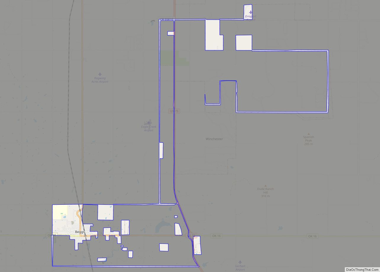
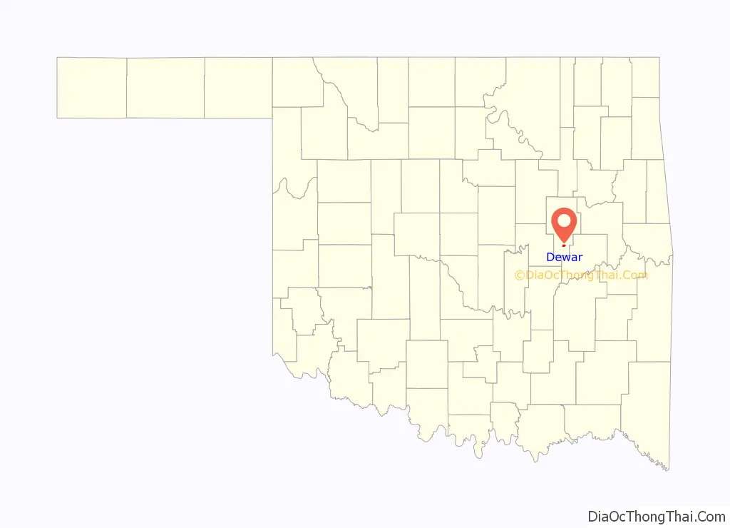
Dewar is a town in Okmulgee County, Oklahoma, United States. The population was 818 at the 2010 census, a decline of 11.0 percent from the figure of 919 recorded in 2000. Founded in 1909 by workers for the Missouri, Oklahoma and Gulf Railway (MO&G), it was named for William Peter Dewar, a railroad official. It incorporated in 1909.
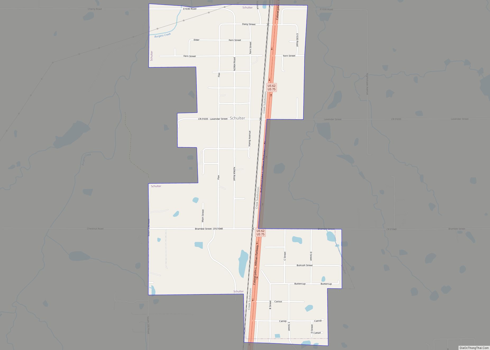
Dewar has a history with coal in the large Henryetta Coal Formation: the Thirty-sixth annual report of the Department of Mines and Minerals from 1943 shows production by four coal companies in Dewar— Berkey Coal Company, Coal Creek Coal Company, Dewar Coal Company, and Martin-Geary Coal Company—with a combined total of over 13,600 tons of coal annually. Dewar was along the route of the shortline Coalton Railway, later called the Okmulgee Northern Railway, which operated from Okmulgee south along the Deep Fork River carrying the coal out of the Dewar, Coalton and Schulter producing areas from 1916 to 1964.
| Name: | Dewar town |
|---|---|
| LSAD Code: | 43 |
| LSAD Description: | town (suffix) |
| State: | Oklahoma |
| County: | Okmulgee County |
| Elevation: | 669 ft (204 m) |
| Total Area: | 1.02 sq mi (2.64 km²) |
| Land Area: | 1.01 sq mi (2.62 km²) |
| Water Area: | 0.01 sq mi (0.02 km²) |
| Total Population: | 763 |
| Population Density: | 753.95/sq mi (291.17/km²) |
| ZIP code: | 74431 |
| Area code: | 539/918 |
| FIPS code: | 4020500 |
| GNISfeature ID: | 1092066 |
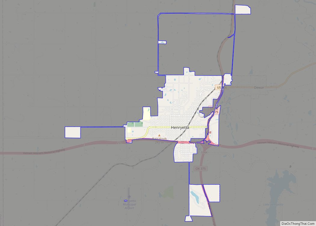
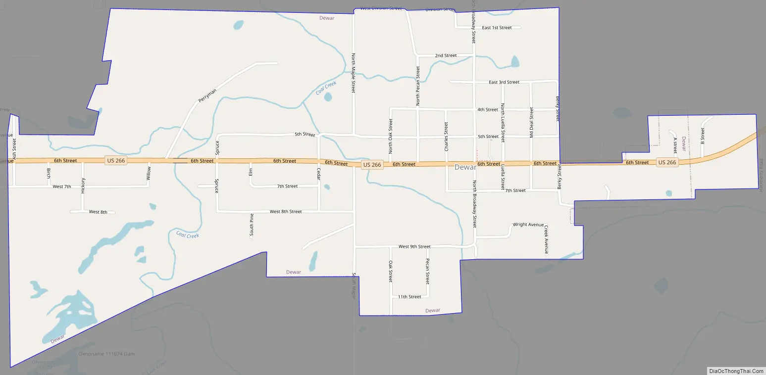
Online Interactive Map
Click on ![]() to view map in "full screen" mode.
to view map in "full screen" mode.
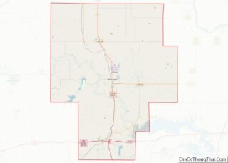
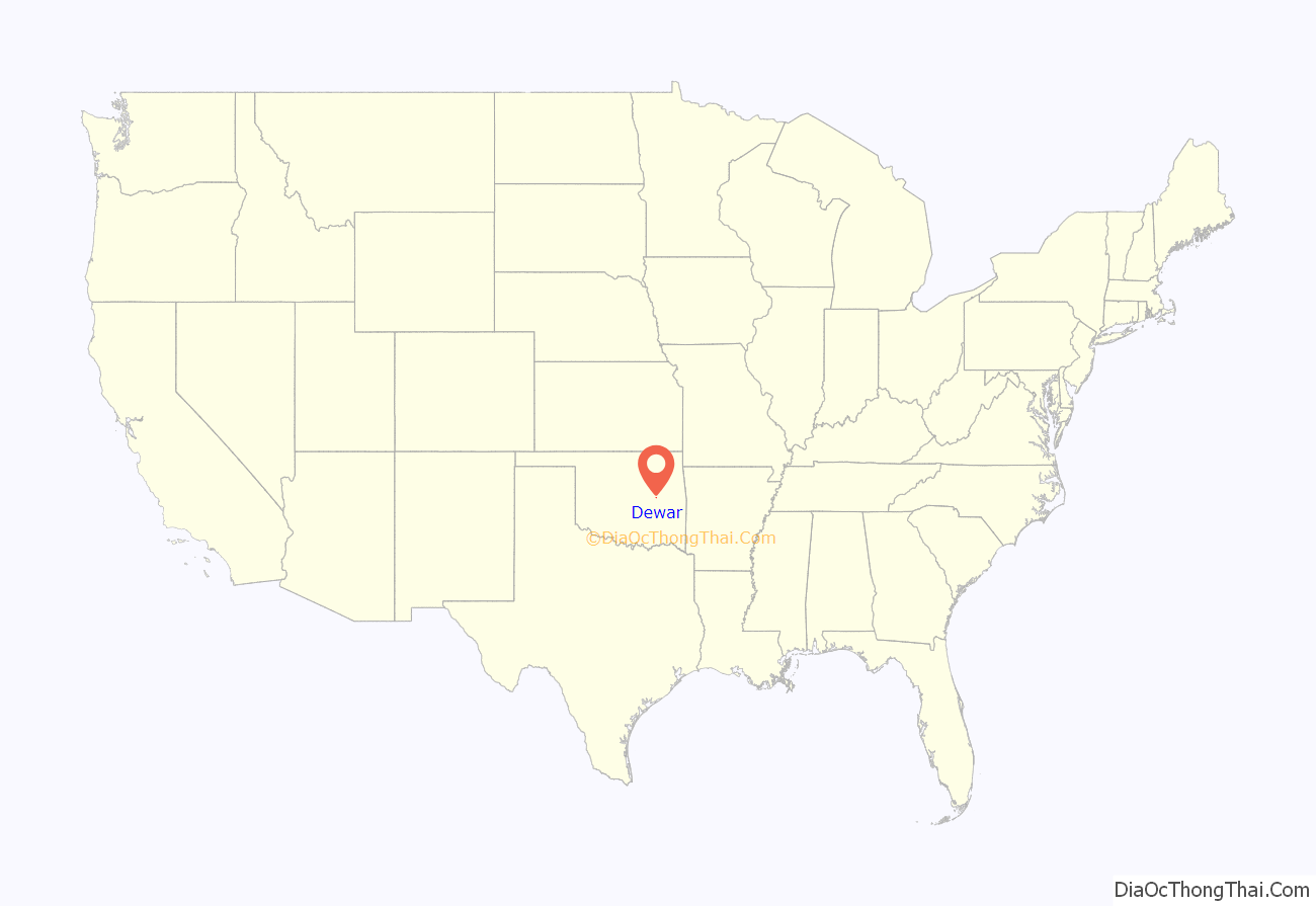
Dewar location map. Where is Dewar town?
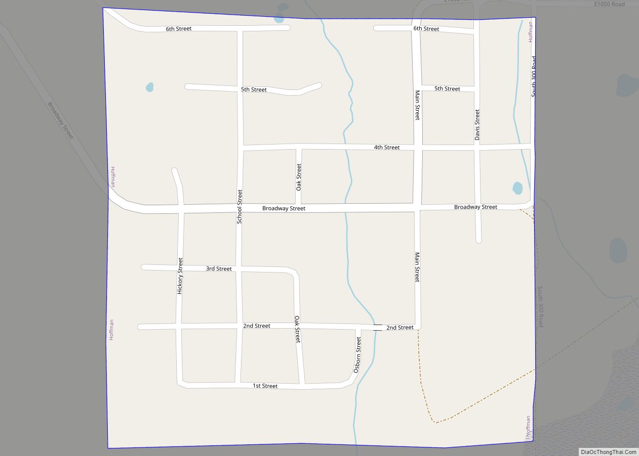
Dewar Road Map
Dewar city Satellite Map

Geography
Dewar is located at 35°27′32″N 95°56′46″W / 35.45889°N 95.94611°W / 35.45889; -95.94611 (35.458946, -95.945973).
According to the United States Census Bureau, the town has a total area of 0.9 square miles (2.3 km), of which 0.9 square miles (2.3 km) is land and 1.08% is water.
See also
Map of Oklahoma State and its subdivision:- Adair
- Alfalfa
- Atoka
- Beaver
- Beckham
- Blaine
- Bryan
- Caddo
- Canadian
- Carter
- Cherokee
- Choctaw
- Cimarron
- Cleveland
- Coal
- Comanche
- Cotton
- Craig
- Creek
- Custer
- Delaware
- Dewey
- Ellis
- Garfield
- Garvin
- Grady
- Grant
- Greer
- Harmon
- Harper
- Haskell
- Hughes
- Jackson
- Jefferson
- Johnston
- Kay
- Kingfisher
- Kiowa
- Latimer
- Le Flore
- Lincoln
- Logan
- Love
- Major
- Marshall
- Mayes
- McClain
- McCurtain
- McIntosh
- Murray
- Muskogee
- Noble
- Nowata
- Okfuskee
- Oklahoma
- Okmulgee
- Osage
- Ottawa
- Pawnee
- Payne
- Pittsburg
- Pontotoc
- Pottawatomie
- Pushmataha
- Roger Mills
- Rogers
- Seminole
- Sequoyah
- Stephens
- Texas
- Tillman
- Tulsa
- Wagoner
- Washington
- Washita
- Woods
- Woodward
- Alabama
- Alaska
- Arizona
- Arkansas
- California
- Colorado
- Connecticut
- Delaware
- District of Columbia
- Florida
- Georgia
- Hawaii
- Idaho
- Illinois
- Indiana
- Iowa
- Kansas
- Kentucky
- Louisiana
- Maine
- Maryland
- Massachusetts
- Michigan
- Minnesota
- Mississippi
- Missouri
- Montana
- Nebraska
- Nevada
- New Hampshire
- New Jersey
- New Mexico
- New York
- North Carolina
- North Dakota
- Ohio
- Oklahoma
- Oregon
- Pennsylvania
- Rhode Island
- South Carolina
- South Dakota
- Tennessee
- Texas
- Utah
- Vermont
- Virginia
- Washington
- West Virginia
- Wisconsin
- Wyoming