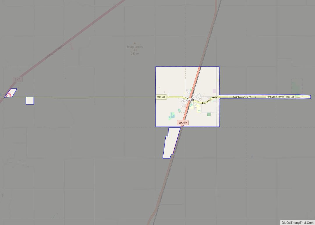
Adair is a town in Mayes County, Oklahoma, United States. The population was 790 at the 2010 census, compared to the figure of 704 recorded in 2000. Named for two prominent Cherokee brothers, the town was established in 1883. It opened a Cherokee school. Adair town overview: Name: Adair town LSAD Code: 43 LSAD Description: ... Read more
Oklahoma Cities and Places
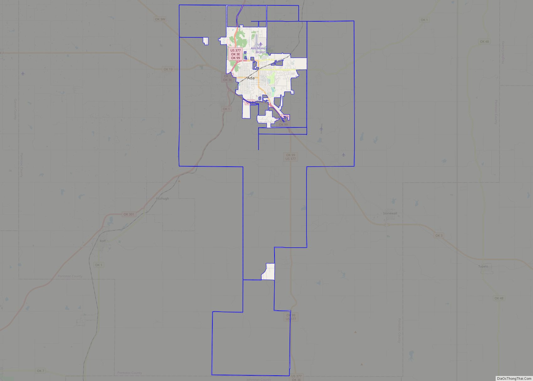
Ada is a city in and the county seat of Pontotoc County, Oklahoma, United States. The population was 16,481 at the 2020 United States Census. The city was named for Ada Reed, the daughter of an early settler, and was incorporated in 1901. Ada is home to East Central University, and is the headquarters of ... Read more
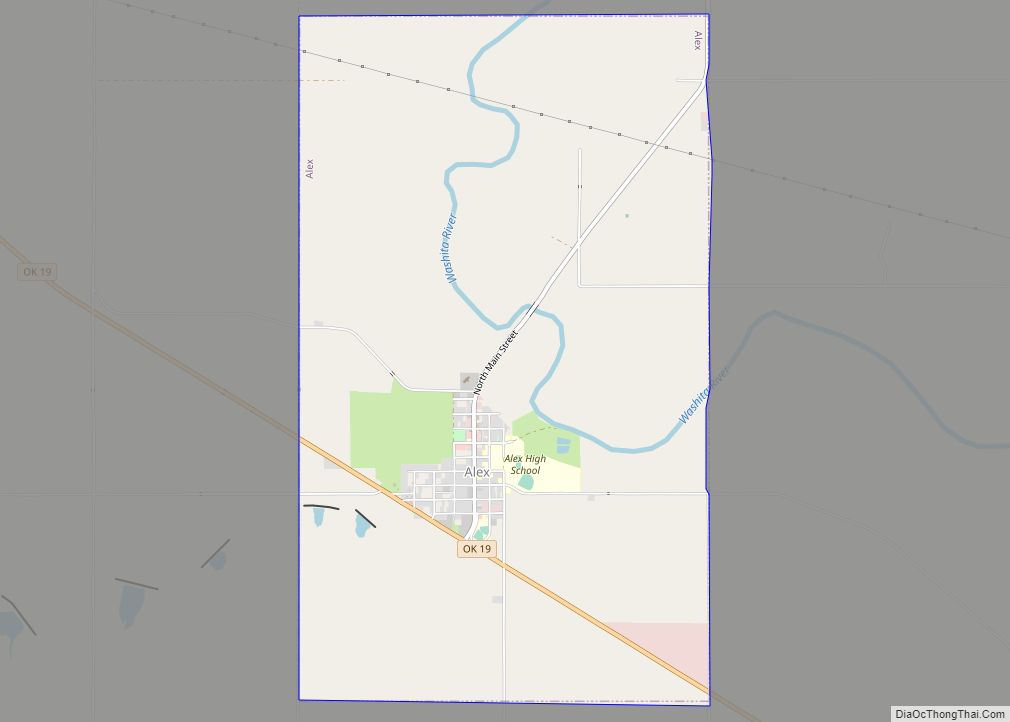
Alex is a town in Grady County, Oklahoma, United States. The population was 482 at the 2020 census. Alex town overview: Name: Alex town LSAD Code: 43 LSAD Description: town (suffix) State: Oklahoma County: Grady County Elevation: 1,033 ft (315 m) Total Area: 6.65 sq mi (17.22 km²) Land Area: 6.65 sq mi (17.22 km²) Water Area: 0.00 sq mi (0.00 km²) Total Population: 482 Population ... Read more
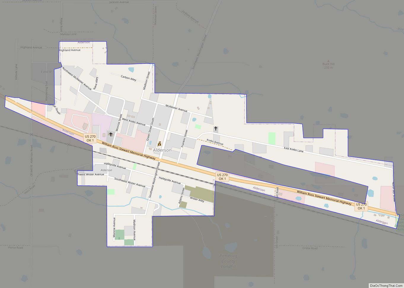
Alderson is a town in Pittsburg County, Oklahoma, United States. The population was 304 at the 2010 census. Alderson town overview: Name: Alderson town LSAD Code: 43 LSAD Description: town (suffix) State: Oklahoma County: Pittsburg County Elevation: 689 ft (210 m) Total Area: 0.58 sq mi (1.51 km²) Land Area: 0.58 sq mi (1.51 km²) Water Area: 0.00 sq mi (0.00 km²) Total Population: 220 Population ... Read more
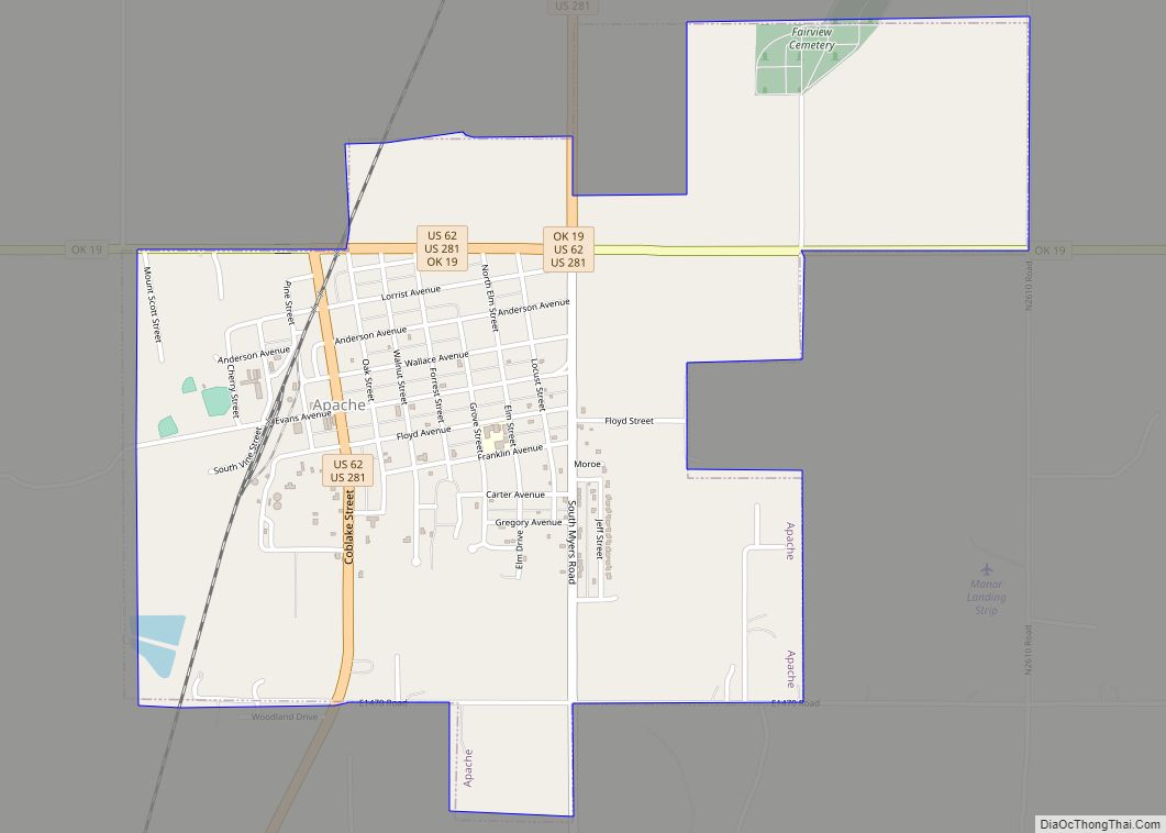
Apache is a town in Caddo County, Oklahoma, United States. The population was 1,444 at the 2010 census. Apache town overview: Name: Apache town LSAD Code: 43 LSAD Description: town (suffix) State: Oklahoma County: Caddo County Elevation: 1,293 ft (394 m) Total Area: 2.16 sq mi (5.59 km²) Land Area: 2.15 sq mi (5.56 km²) Water Area: 0.01 sq mi (0.03 km²) Total Population: 1,034 Population ... Read more
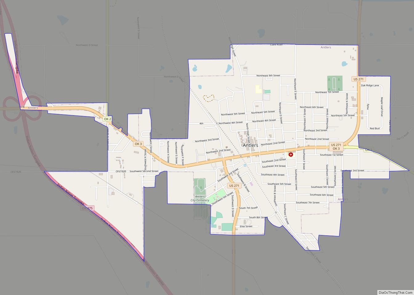
Antlers is a city in and the county seat of Pushmataha County, Oklahoma, United States. The population was 2,453 at the 2010 census, a 3.9 percent decline from 2,552 in 2000. The town was named for a kind of tree that becomes festooned with antlers shed by deer, and is taken as a sign of ... Read more
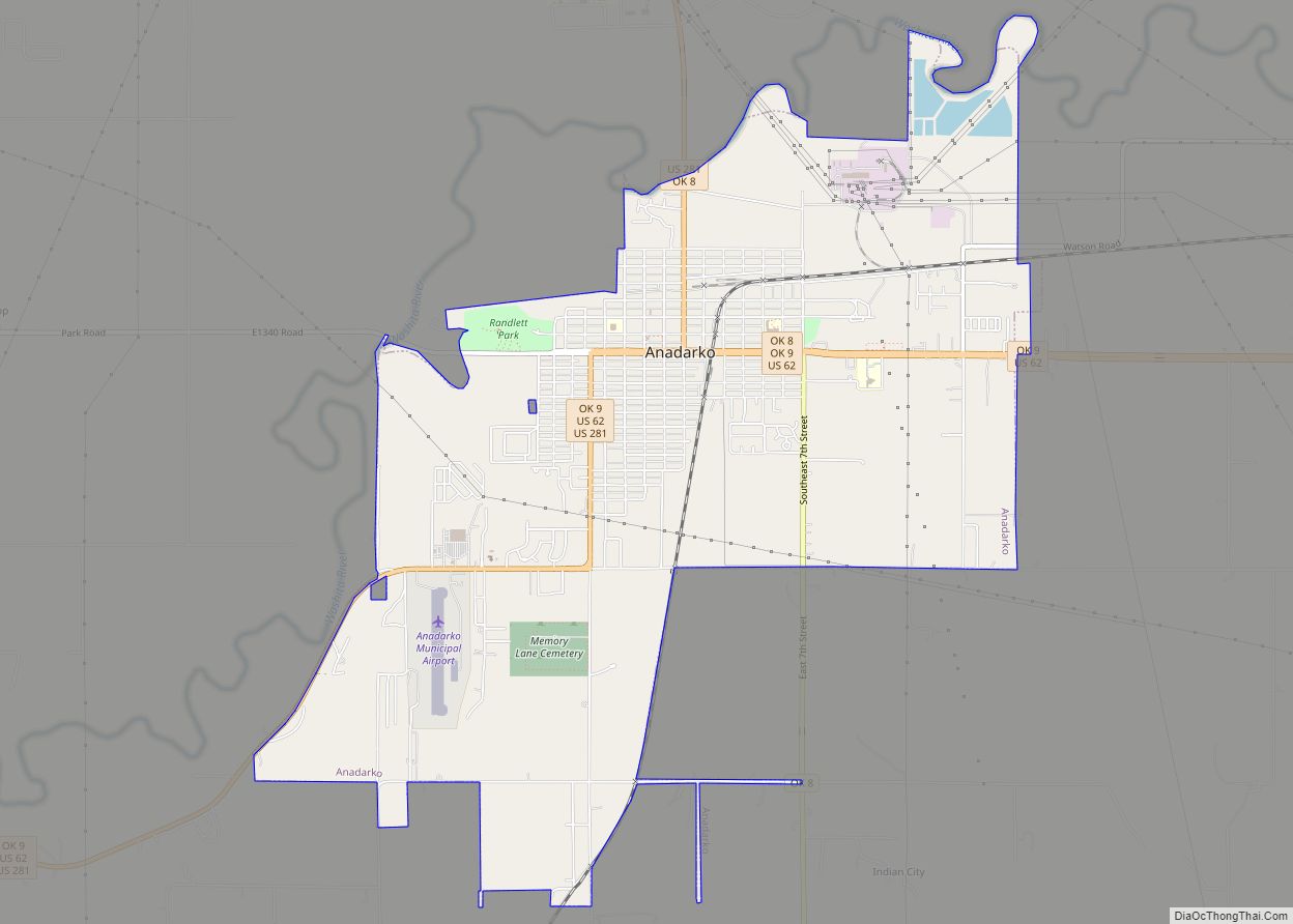
Anadarko is a city in Caddo County, Oklahoma, United States. The city is fifty miles southwest of Oklahoma City. The population was 5,745 at the 2020 census. It is the county seat of Caddo County. Anadarko city overview: Name: Anadarko city LSAD Code: 25 LSAD Description: city (suffix) State: Oklahoma County: Caddo County Elevation: 1,180 ft ... Read more
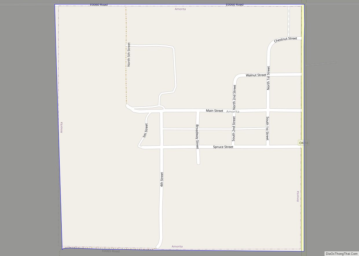
Amorita is a town in Alfalfa County, Oklahoma, United States. The population was 37 at the time of the 2010 census. Amorita town overview: Name: Amorita town LSAD Code: 43 LSAD Description: town (suffix) State: Oklahoma County: Alfalfa County Elevation: 1,207 ft (368 m) Total Area: 0.25 sq mi (0.65 km²) Land Area: 0.25 sq mi (0.65 km²) Water Area: 0.00 sq mi (0.00 km²) Total ... Read more
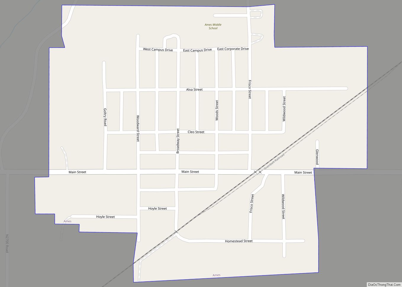
Ames is a town in southeastern Major County, Oklahoma, United States. The population was 239 at the 2010 census. This was a 20.1 percent increase from the figure of 199 in 2000. Ames is best known for being located within the boundary of a geological structure that is called the Ames crater or the Ames ... Read more
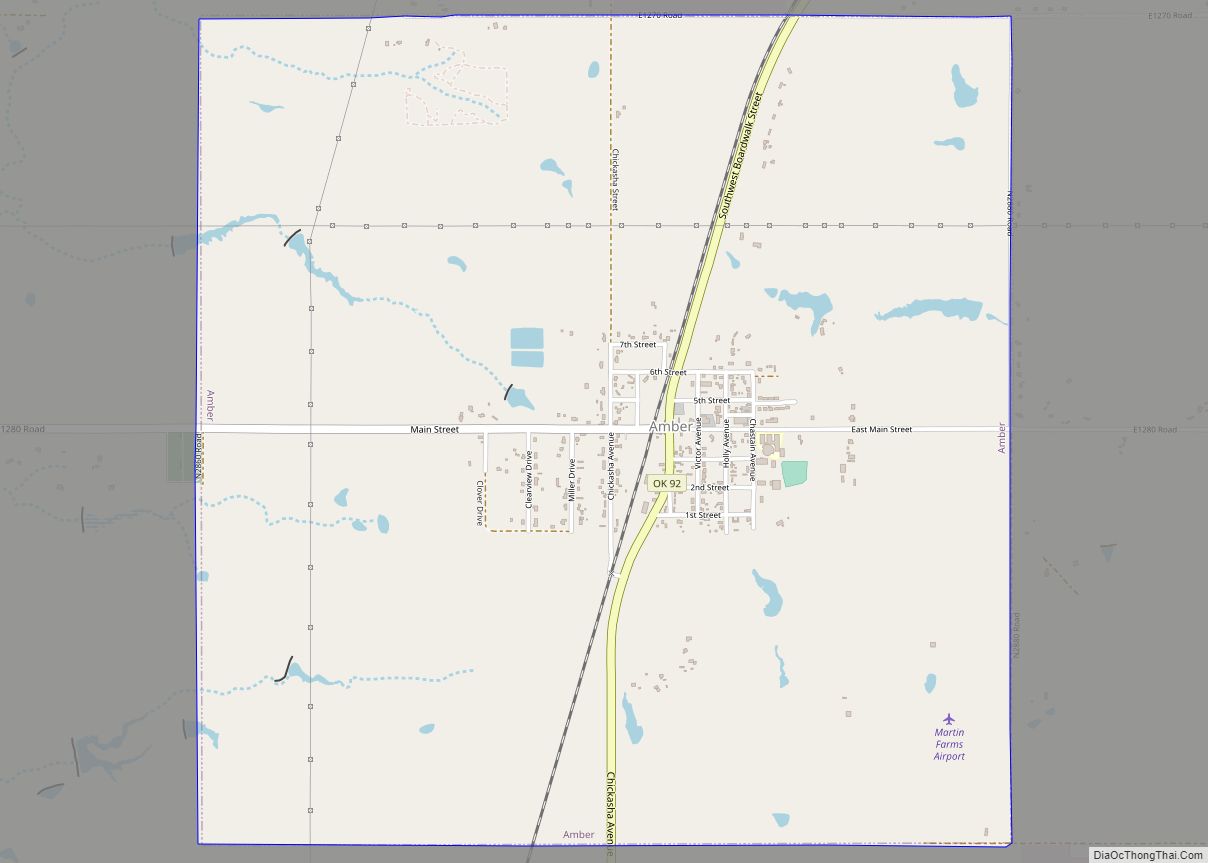
Amber is a town in Grady County, Oklahoma, United States. The population was 413 at the 2020 census, a 1.4% decrease from 2010. Amber town overview: Name: Amber town LSAD Code: 43 LSAD Description: town (suffix) State: Oklahoma County: Grady County Elevation: 1,257 ft (383 m) Total Area: 3.95 sq mi (10.23 km²) Land Area: 3.95 sq mi (10.23 km²) Water Area: 0.00 sq mi ... Read more
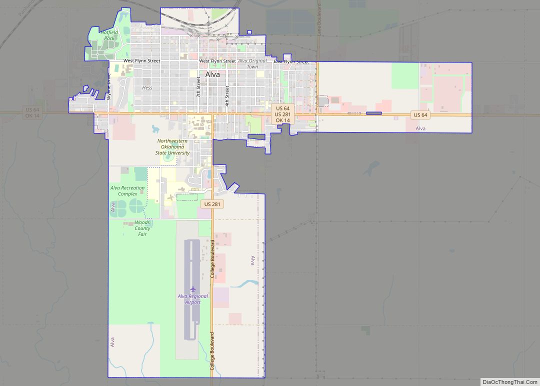
Alva is a city in and the county seat of Woods County, Oklahoma, United States, along the Salt Fork Arkansas River. The population was 4,945 at the 2010 census. Northwestern Oklahoma State University is located in Alva. Alva city overview: Name: Alva city LSAD Code: 25 LSAD Description: city (suffix) State: Oklahoma County: Woods County ... Read more
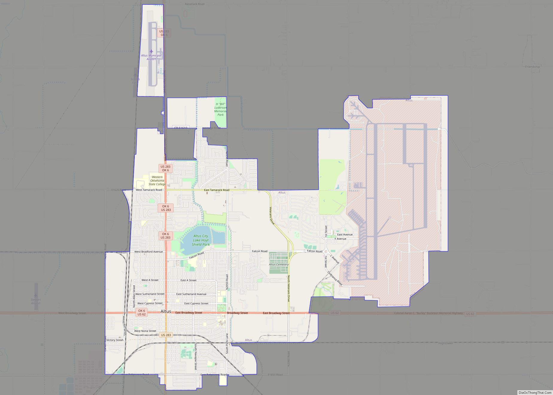
Altus (/ˈæltəs/) is a city in and the county seat of Jackson County, Oklahoma, United States. The population was 18,729 at the 2020 census. Altus is home to Altus Air Force Base, the United States Air Force training base for C-17, KC-46 and KC-135 aircrews. It is also home to Western Oklahoma State College and ... Read more
