Amorita is a town in Alfalfa County, Oklahoma, United States. The population was 37 at the time of the 2010 census.
| Name: | Amorita town |
|---|---|
| LSAD Code: | 43 |
| LSAD Description: | town (suffix) |
| State: | Oklahoma |
| County: | Alfalfa County |
| Elevation: | 1,207 ft (368 m) |
| Total Area: | 0.25 sq mi (0.65 km²) |
| Land Area: | 0.25 sq mi (0.65 km²) |
| Water Area: | 0.00 sq mi (0.00 km²) |
| Total Population: | 38 |
| Population Density: | 150.20/sq mi (58.07/km²) |
| ZIP code: | 73719 |
| Area code: | 580 |
| FIPS code: | 4002000 |
| GNISfeature ID: | 1089616 |
Online Interactive Map
Click on ![]() to view map in "full screen" mode.
to view map in "full screen" mode.
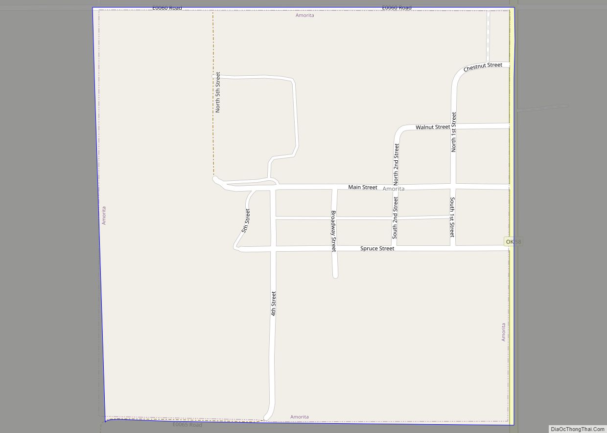
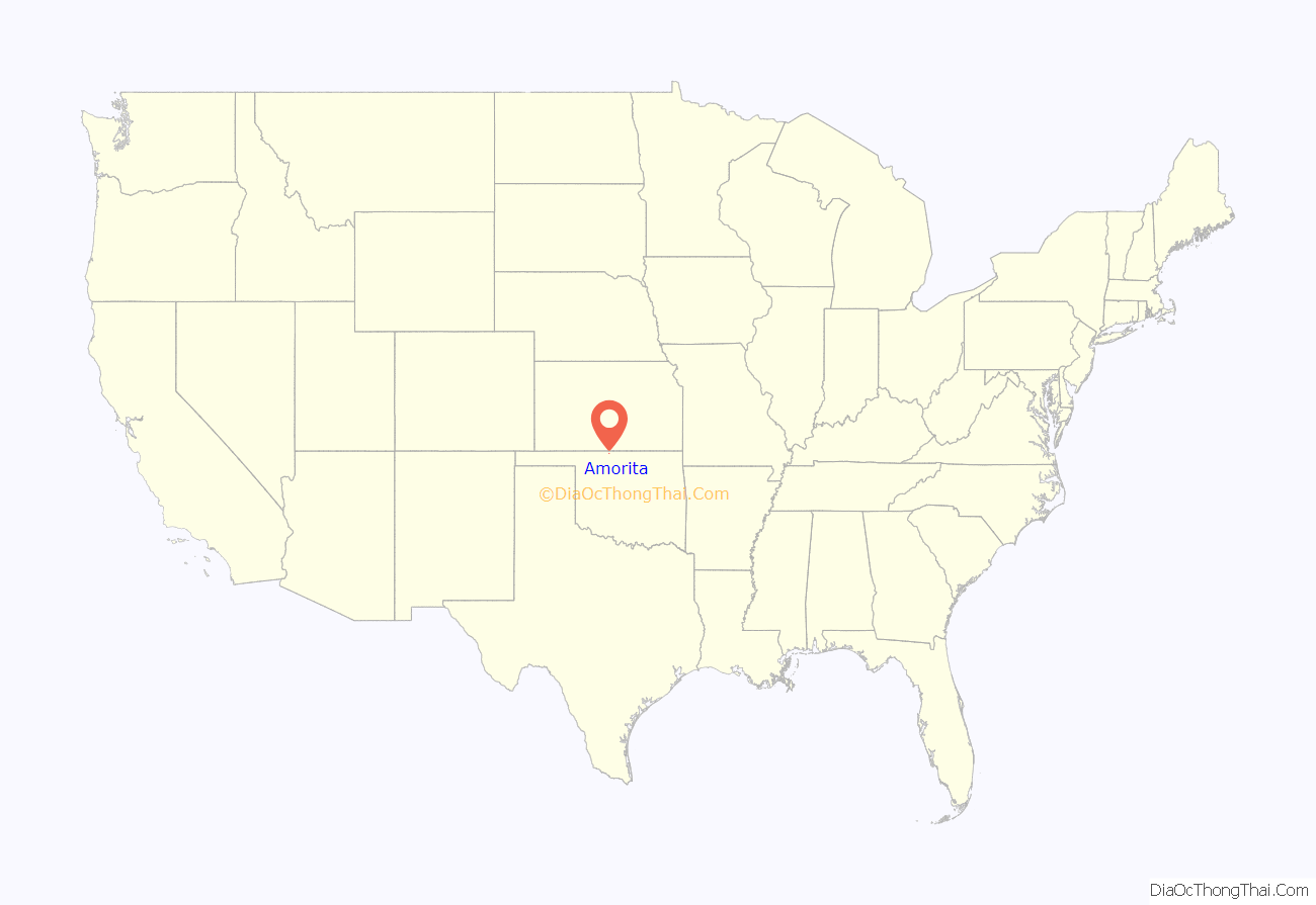
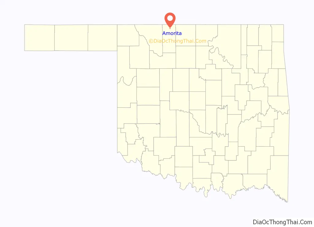
Amorita location map. Where is Amorita town?
History
Amorita was founded in September, 1901. It is speculated that Amorita was likely named after the wife of railroad owner, Charles E. Ingersoll. At the time of its founding, the area was part of the much larger Woods county. It did not become part of present-day Alfalfa county until the time of statehood in 1907.
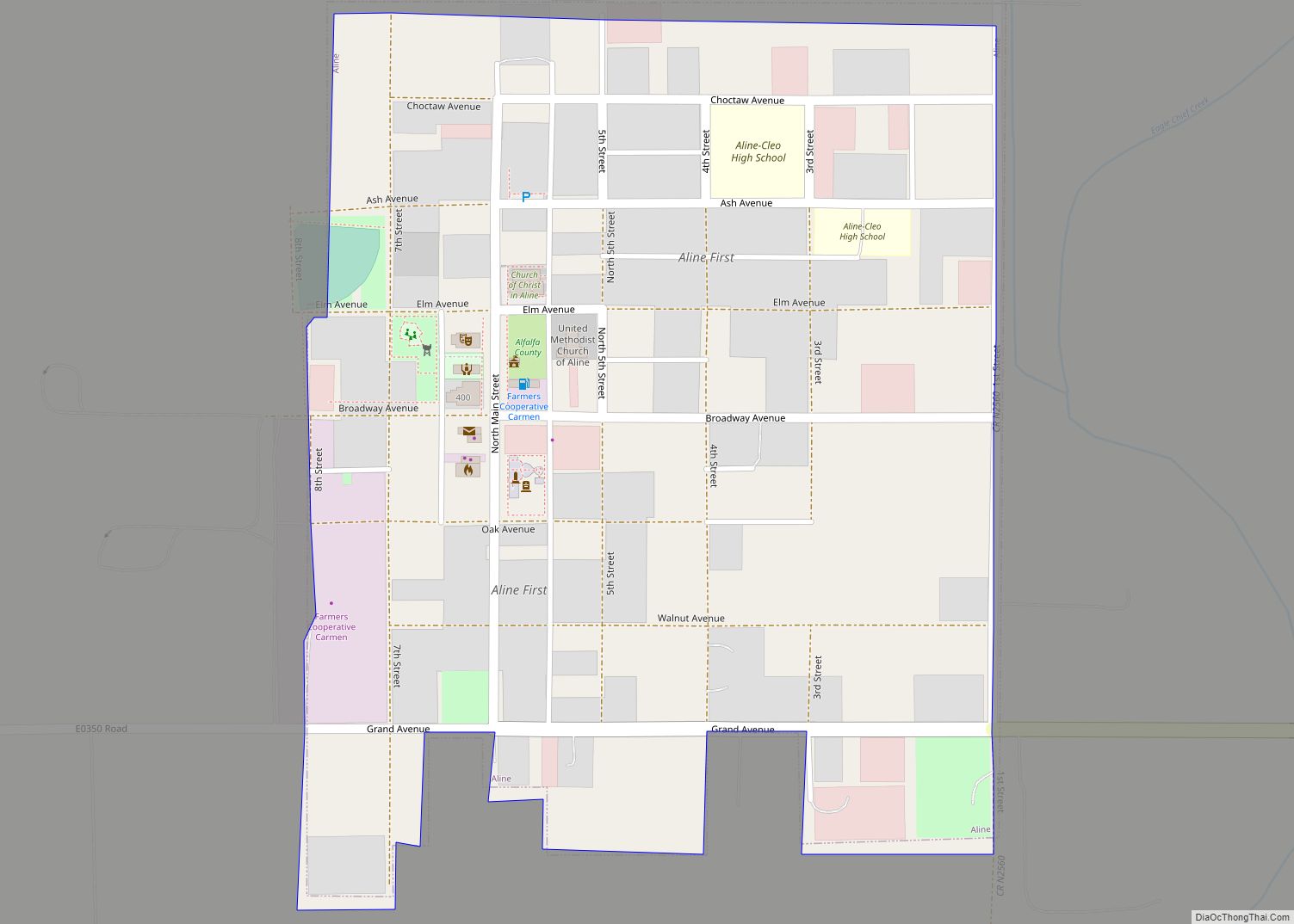
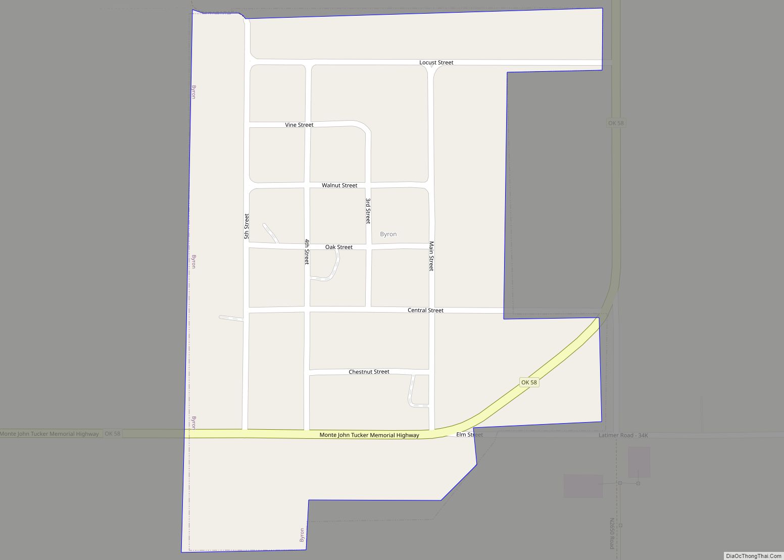
The town was established in Byron township in 1901 approximately two miles north of the existing town of Byron, by what was then known as the Choctaw Northern Railroad, later owned by the Chicago, Rock Island and Pacific. In that year, the railroad became the county’s first, connecting Amorita to the other Alfalfa county towns of Aline, Augusta, Ingersoll, Lambert, Driftwood, and on into Kansas. City lots were sold when the railroad completed its rail line through the county in November 1901.
Although the initial sale of lots in November was small, within a month a butcher shop and a coal and grain business were established, and by February of the following year, two grain elevators were also opened. Farming was the predominant economic activity in the area at the time. The town was temporarily given a competitive advantage as a transportation hub because nearby Byron did not acquire its own competing railroad access (the Kansas City, Mexico and Orient Railway) until October 1902.
Residents voted to incorporate their town in May 1912. In 1919 a fifty-thousand-dollar bond was approved to construct a new school building for the consolidated schools of Amorita and two other districts. In 1921, voters of both Byron and Amorita jointly approved the construction of power lines extending from Kansas to supply electricity to both their towns.
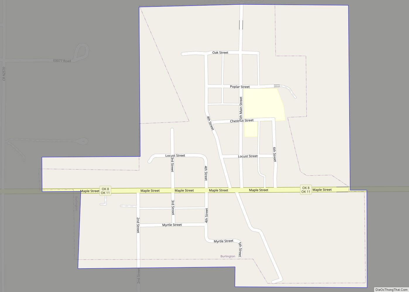
The railroad abandoned its line through the town in 1936. In the 1960s, the Amorita school was consolidated into a single entity along with the nearby districts of Burlington, Byron, and Driftwood, which was located in Burlington. By 1970, the population had fallen to 63 persons and by 2010, it had declined to just 37 residents.
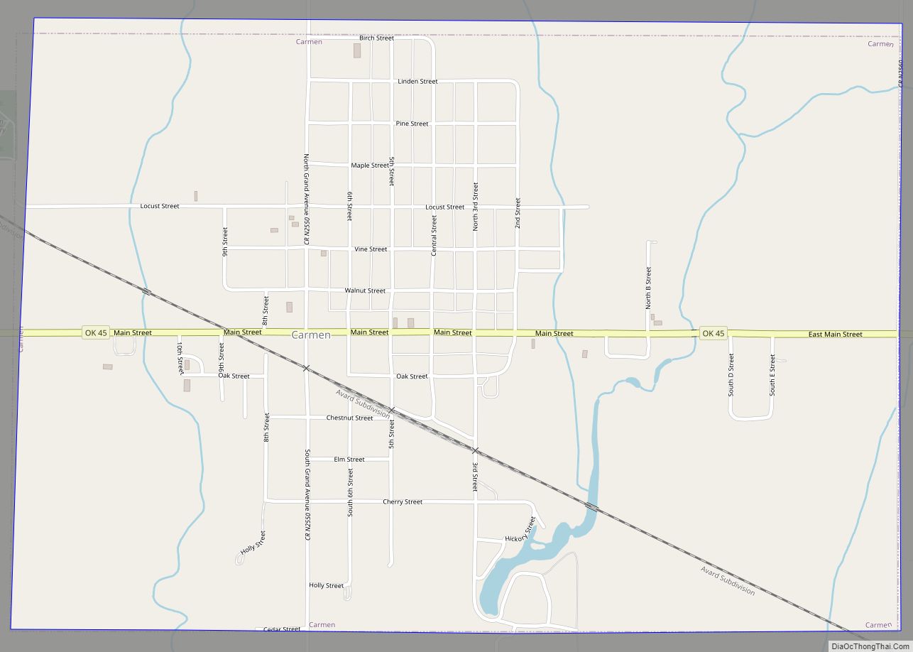
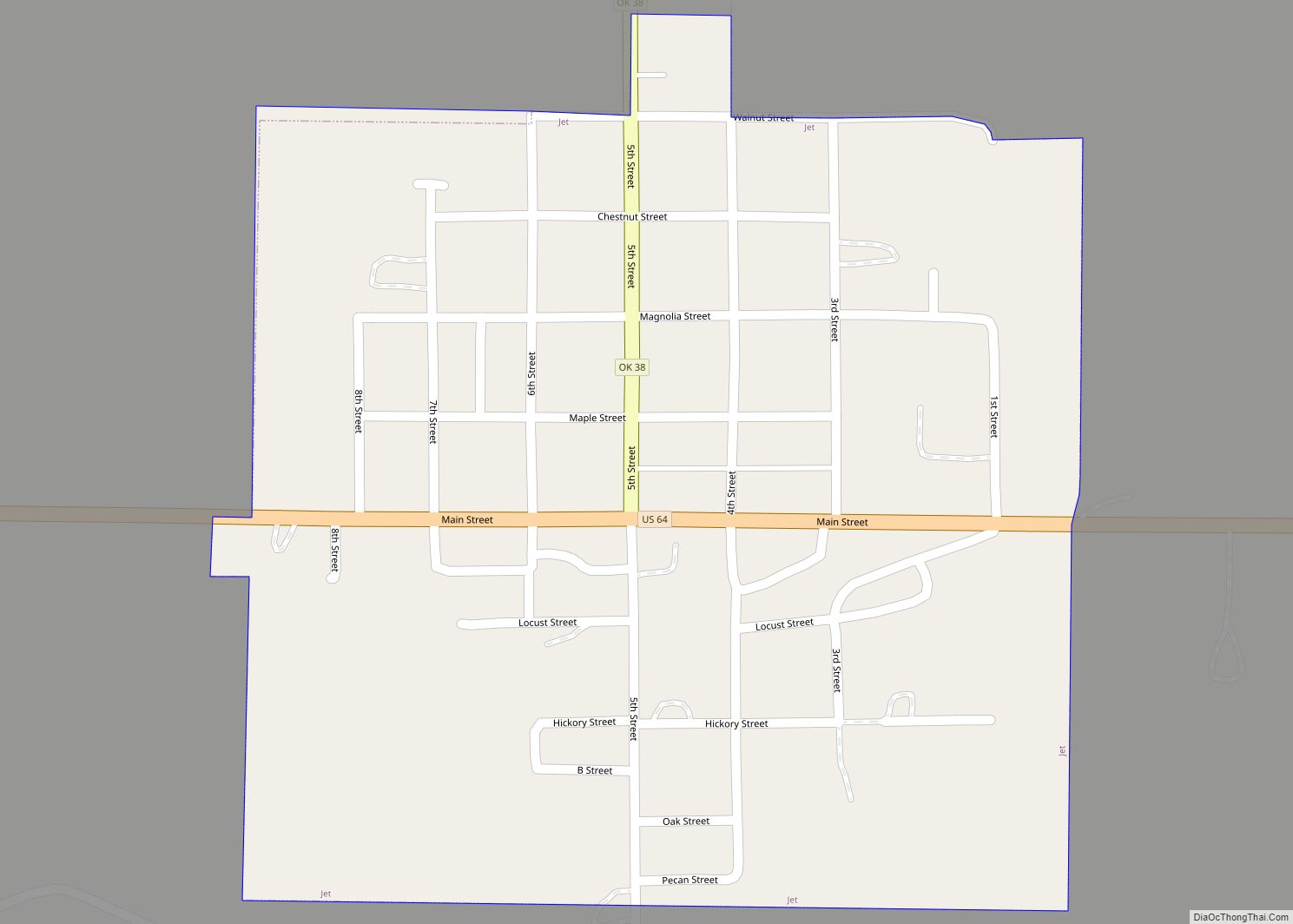
Amorita Road Map
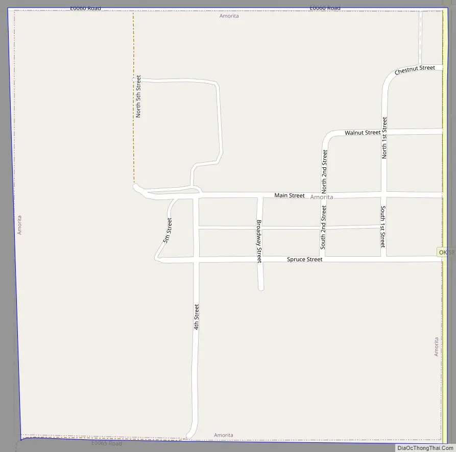
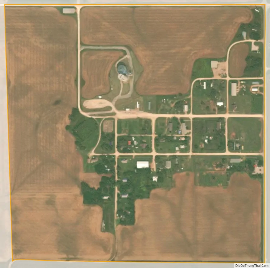
Amorita city Satellite Map
Geography
Amorita lies along State Highway 58, between Byron to the south and the Kansas border to the north.
The town has a total area of 0.26 square miles (0.67 km), all land, with a population density of 153 people per square mile.
See also
Map of Oklahoma State and its subdivision:- Adair
- Alfalfa
- Atoka
- Beaver
- Beckham
- Blaine
- Bryan
- Caddo
- Canadian
- Carter
- Cherokee
- Choctaw
- Cimarron
- Cleveland
- Coal
- Comanche
- Cotton
- Craig
- Creek
- Custer
- Delaware
- Dewey
- Ellis
- Garfield
- Garvin
- Grady
- Grant
- Greer
- Harmon
- Harper
- Haskell
- Hughes
- Jackson
- Jefferson
- Johnston
- Kay
- Kingfisher
- Kiowa
- Latimer
- Le Flore
- Lincoln
- Logan
- Love
- Major
- Marshall
- Mayes
- McClain
- McCurtain
- McIntosh
- Murray
- Muskogee
- Noble
- Nowata
- Okfuskee
- Oklahoma
- Okmulgee
- Osage
- Ottawa
- Pawnee
- Payne
- Pittsburg
- Pontotoc
- Pottawatomie
- Pushmataha
- Roger Mills
- Rogers
- Seminole
- Sequoyah
- Stephens
- Texas
- Tillman
- Tulsa
- Wagoner
- Washington
- Washita
- Woods
- Woodward
- Alabama
- Alaska
- Arizona
- Arkansas
- California
- Colorado
- Connecticut
- Delaware
- District of Columbia
- Florida
- Georgia
- Hawaii
- Idaho
- Illinois
- Indiana
- Iowa
- Kansas
- Kentucky
- Louisiana
- Maine
- Maryland
- Massachusetts
- Michigan
- Minnesota
- Mississippi
- Missouri
- Montana
- Nebraska
- Nevada
- New Hampshire
- New Jersey
- New Mexico
- New York
- North Carolina
- North Dakota
- Ohio
- Oklahoma
- Oregon
- Pennsylvania
- Rhode Island
- South Carolina
- South Dakota
- Tennessee
- Texas
- Utah
- Vermont
- Virginia
- Washington
- West Virginia
- Wisconsin
- Wyoming