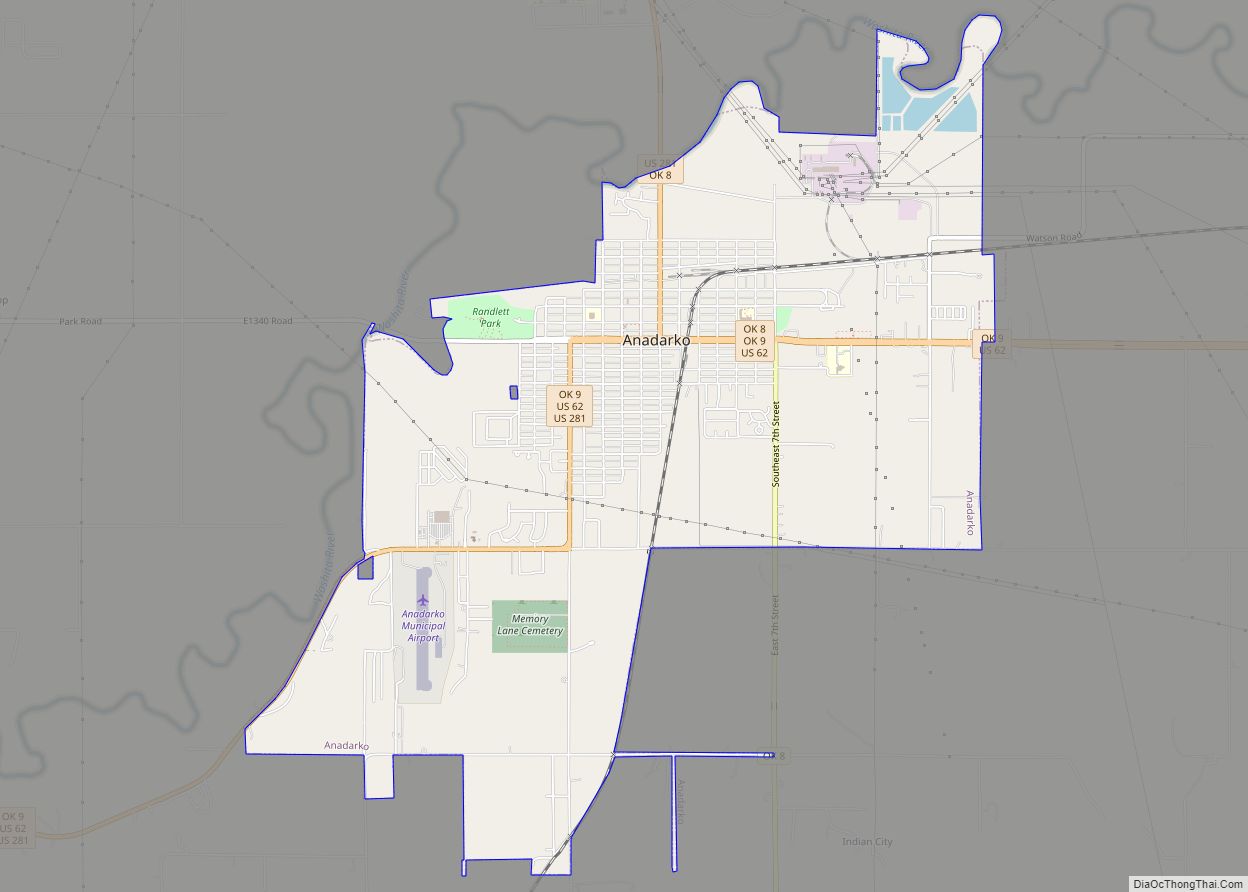
Anadarko is a city in Caddo County, Oklahoma, United States. The city is fifty miles southwest of Oklahoma City. The population was 5,745 at the 2020 census. It is the county seat of Caddo County.
| Name: | Anadarko city |
|---|---|
| LSAD Code: | 25 |
| LSAD Description: | city (suffix) |
| State: | Oklahoma |
| County: | Caddo County |
| Elevation: | 1,180 ft (360 m) |
| Total Area: | 7.18 sq mi (18.59 km²) |
| Land Area: | 7.11 sq mi (18.40 km²) |
| Water Area: | 0.07 sq mi (0.19 km²) |
| Total Population: | 5,745 |
| Population Density: | 808.59/sq mi (312.20/km²) |
| ZIP code: | 73005 |
| Area code: | 405/572 |
| FIPS code: | 4002050 |
| GNISfeature ID: | 1089618 |
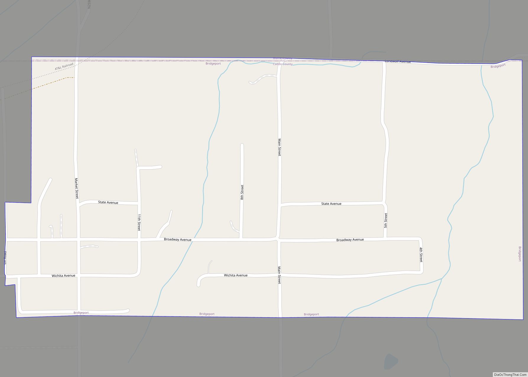
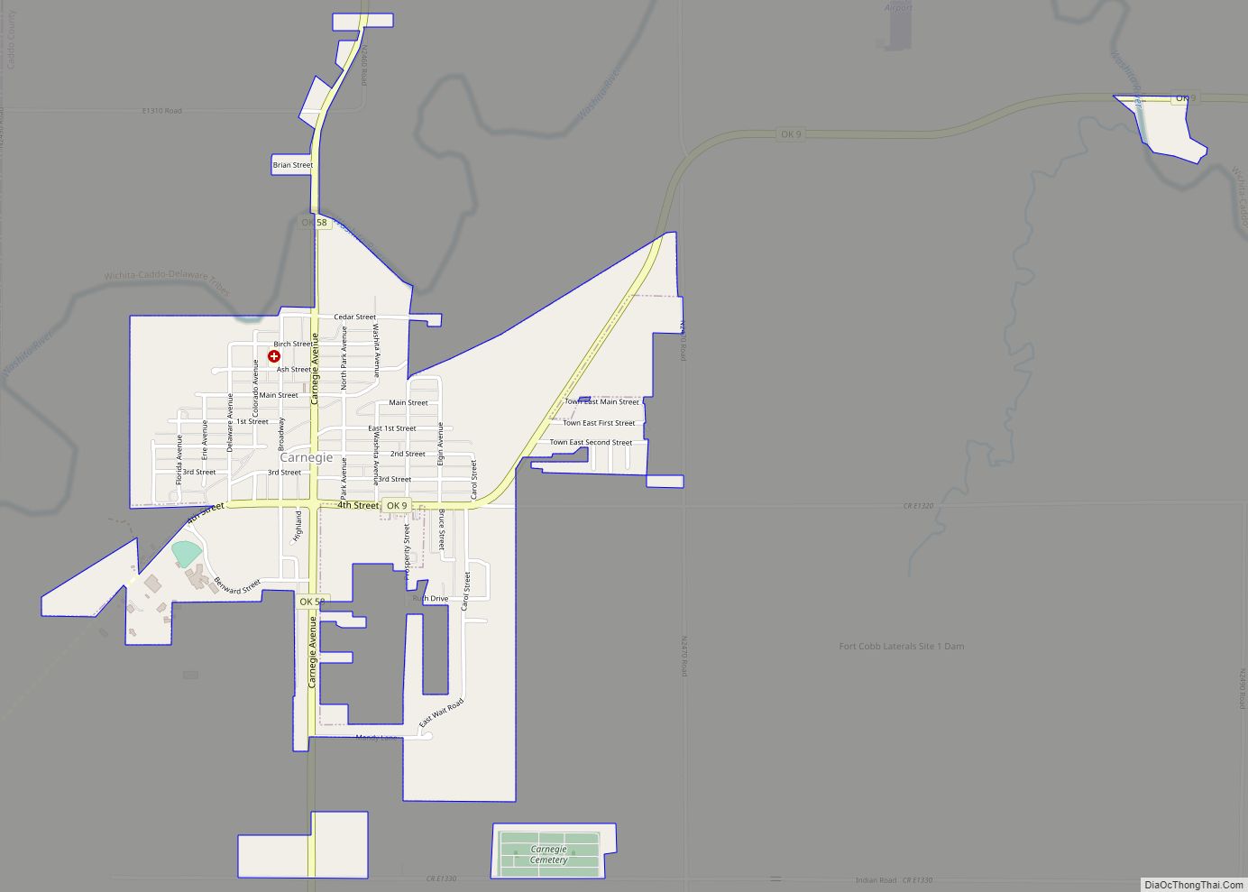
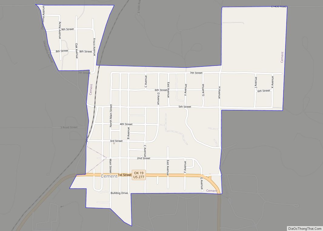
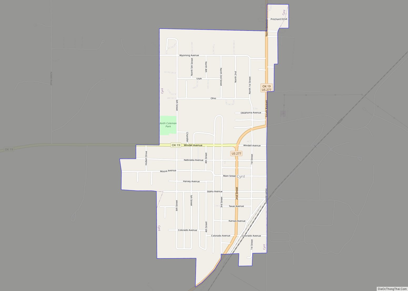
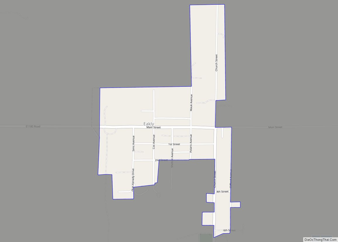
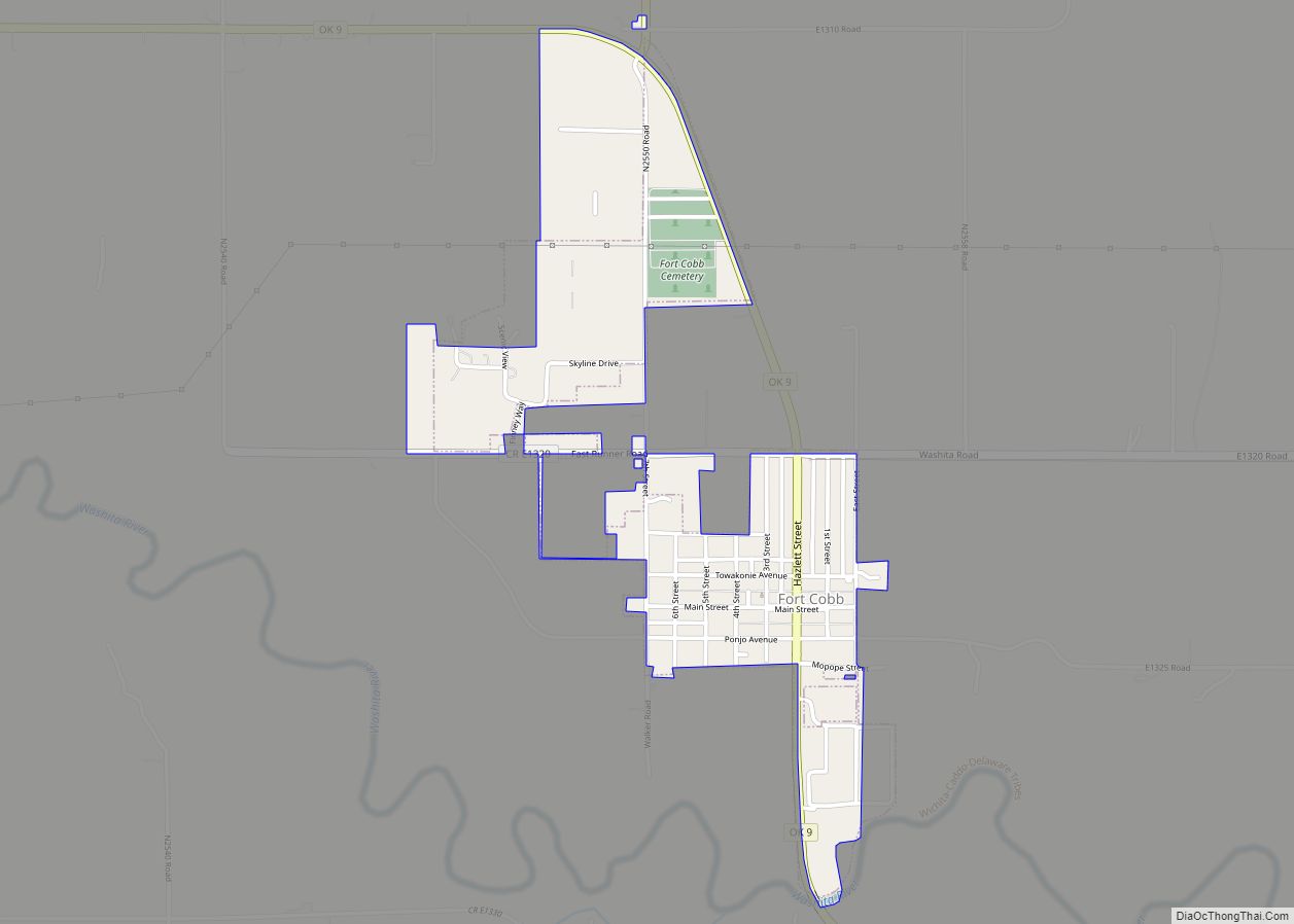
Online Interactive Map
Click on ![]() to view map in "full screen" mode.
to view map in "full screen" mode.
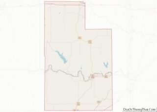
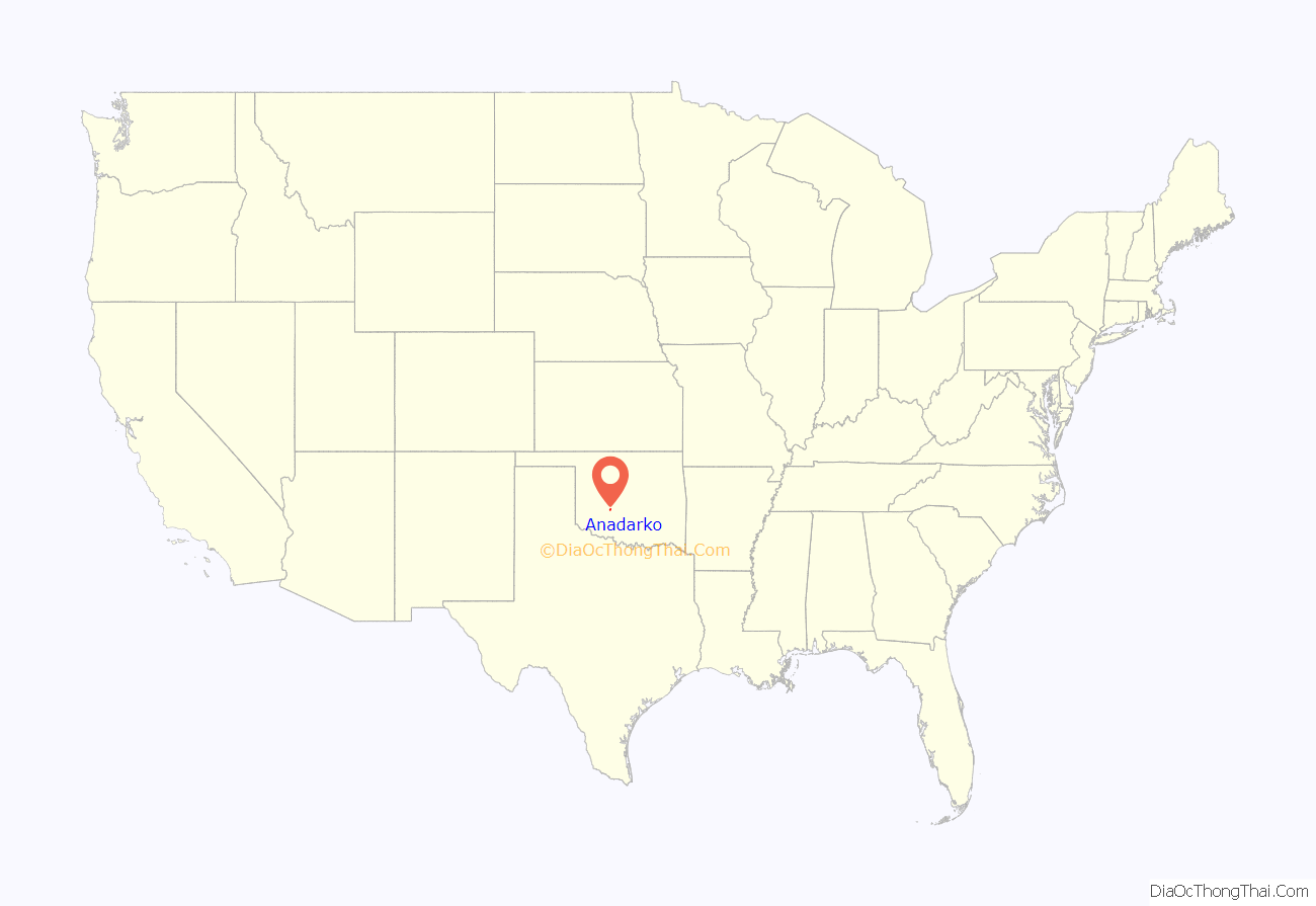
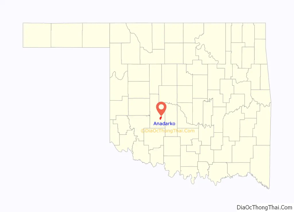
Anadarko location map. Where is Anadarko city?
History
Anadarko got its name when its post office was established in 1873. The designation came from the Nadaco Native Americans, a branch of the Caddo Nation, and the “A” was added due to a clerical error.
In 1871, the Wichita Agency was reestablished on the north bank of the Washita River after being destroyed in the American Civil War. The Wichita Agency administered the affairs of the Wichita, Caddo and other tribes. In 1878, the Kiowa-Comanche Agency at Fort Sill was consolidated with the Wichita Agency.
In 1901, the federal government allotted the lands of the Kiowa, Comanche and Arapaho Reservations, and opened the surplus land to white settlement. On August 6, 1901, an auction was held for homesteads and town lots. Around 5,000 people were living in “Rag Town” on the east edge of Anadarko awaiting the auction. Although 20,000 people were present for auction day, Anadarko’s population dwindled to 2,190 in 1907.
Agriculture has been the principal driver of the local economy, since the Washita Valley has been good for crops and livestock. The second pillar of the local economy has been Native American affairs.
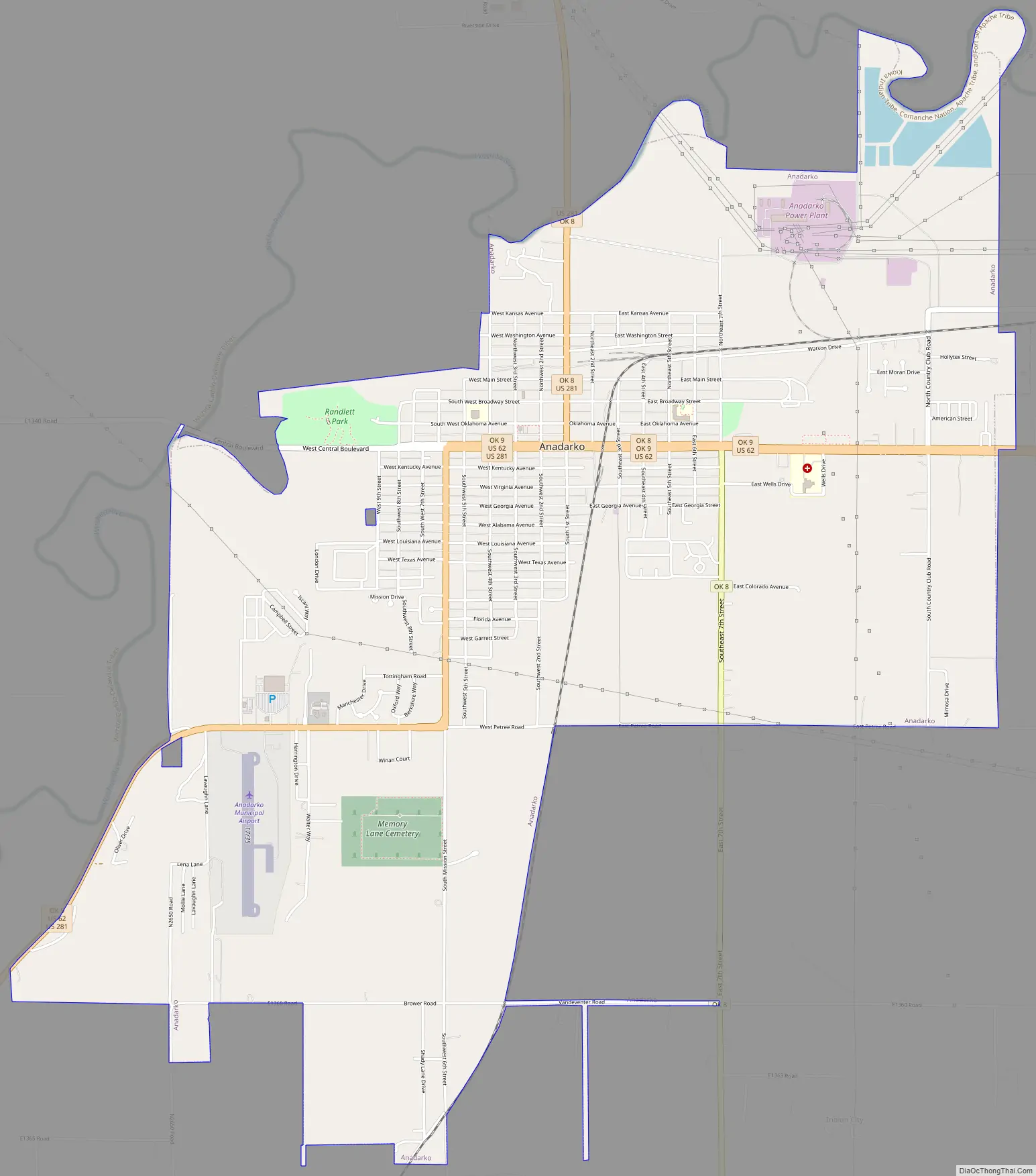
Anadarko Road Map
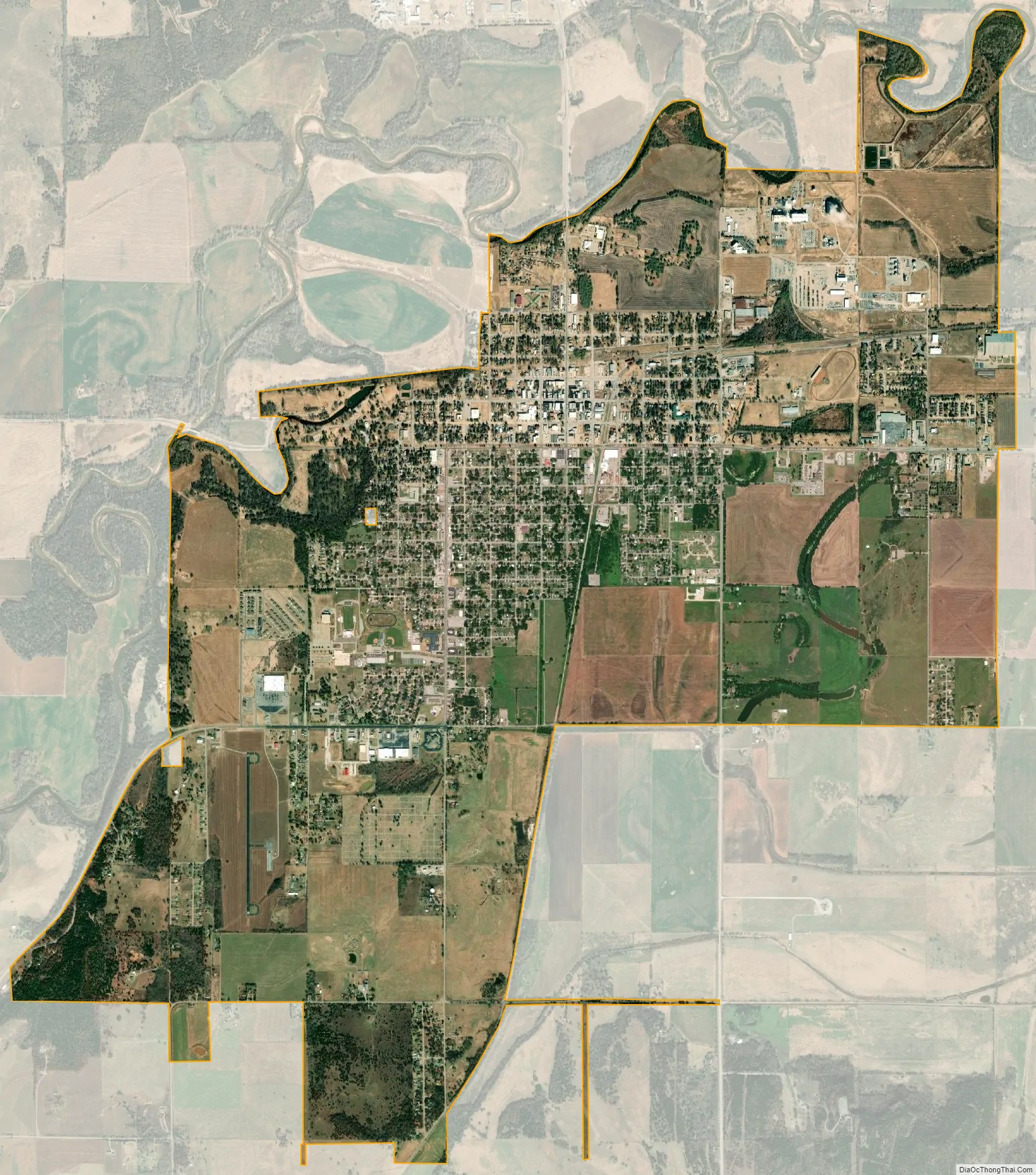
Anadarko city Satellite Map
Geography
Climate
See also
Map of Oklahoma State and its subdivision:- Adair
- Alfalfa
- Atoka
- Beaver
- Beckham
- Blaine
- Bryan
- Caddo
- Canadian
- Carter
- Cherokee
- Choctaw
- Cimarron
- Cleveland
- Coal
- Comanche
- Cotton
- Craig
- Creek
- Custer
- Delaware
- Dewey
- Ellis
- Garfield
- Garvin
- Grady
- Grant
- Greer
- Harmon
- Harper
- Haskell
- Hughes
- Jackson
- Jefferson
- Johnston
- Kay
- Kingfisher
- Kiowa
- Latimer
- Le Flore
- Lincoln
- Logan
- Love
- Major
- Marshall
- Mayes
- McClain
- McCurtain
- McIntosh
- Murray
- Muskogee
- Noble
- Nowata
- Okfuskee
- Oklahoma
- Okmulgee
- Osage
- Ottawa
- Pawnee
- Payne
- Pittsburg
- Pontotoc
- Pottawatomie
- Pushmataha
- Roger Mills
- Rogers
- Seminole
- Sequoyah
- Stephens
- Texas
- Tillman
- Tulsa
- Wagoner
- Washington
- Washita
- Woods
- Woodward
- Alabama
- Alaska
- Arizona
- Arkansas
- California
- Colorado
- Connecticut
- Delaware
- District of Columbia
- Florida
- Georgia
- Hawaii
- Idaho
- Illinois
- Indiana
- Iowa
- Kansas
- Kentucky
- Louisiana
- Maine
- Maryland
- Massachusetts
- Michigan
- Minnesota
- Mississippi
- Missouri
- Montana
- Nebraska
- Nevada
- New Hampshire
- New Jersey
- New Mexico
- New York
- North Carolina
- North Dakota
- Ohio
- Oklahoma
- Oregon
- Pennsylvania
- Rhode Island
- South Carolina
- South Dakota
- Tennessee
- Texas
- Utah
- Vermont
- Virginia
- Washington
- West Virginia
- Wisconsin
- Wyoming