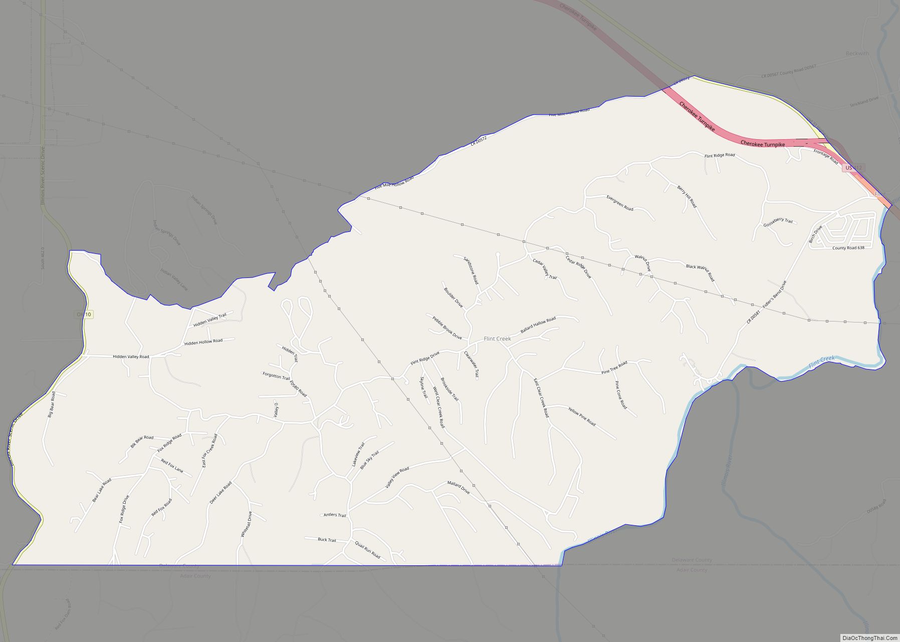
Flint Creek is an unincorporated area and census-designated place (CDP) in Delaware County, Oklahoma, United States. The population was 732 at the 2010 census, up from 580 in 2000. Flint Creek CDP overview: Name: Flint Creek CDP LSAD Code: 57 LSAD Description: CDP (suffix) State: Oklahoma County: Delaware County Elevation: 1,100 ft (300 m) Total Area: 6.37 sq mi ... Read more
Oklahoma Cities and Places
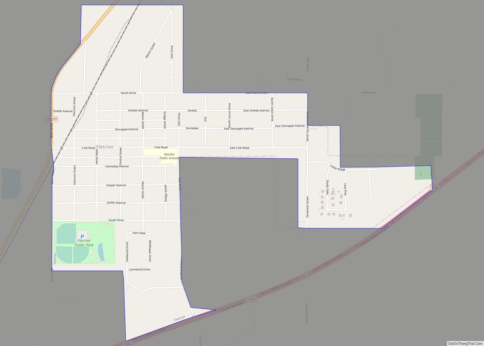
Fletcher is a town in Comanche County, Oklahoma, United States. The population was 1,177 at the 2010 census. It is included in the Lawton, Oklahoma Metropolitan Statistical Area. Fletcher town overview: Name: Fletcher town LSAD Code: 43 LSAD Description: town (suffix) State: Oklahoma County: Comanche County Elevation: 1,381 ft (421 m) Total Area: 1.94 sq mi (5.01 km²) Land Area: ... Read more
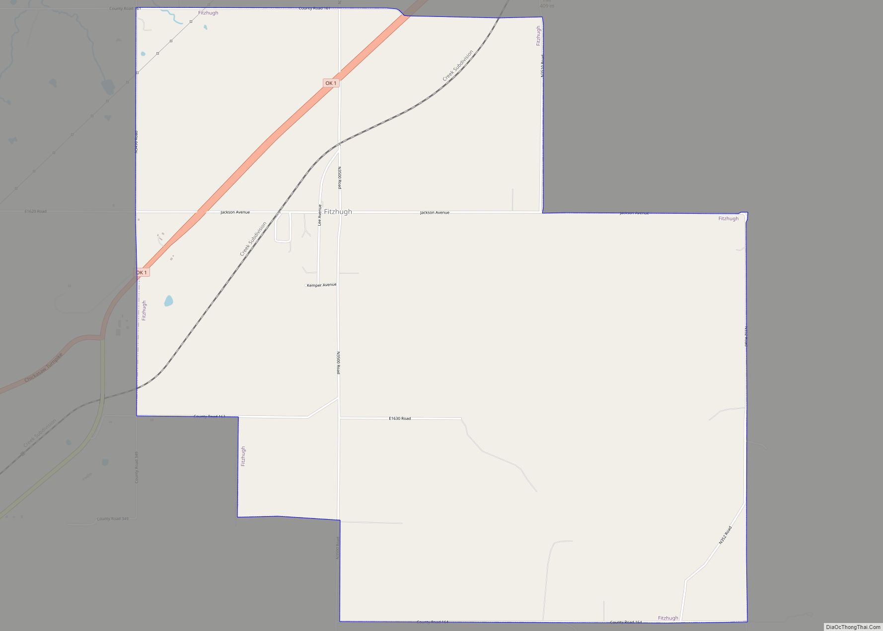
Fitzhugh is a town in Pontotoc County, Oklahoma, United States. The population was 204 at the 2000 census. Fitzhugh town overview: Name: Fitzhugh town LSAD Code: 43 LSAD Description: town (suffix) State: Oklahoma County: Pontotoc County Elevation: 1,250 ft (381 m) Total Area: 7.27 sq mi (18.83 km²) Land Area: 7.27 sq mi (18.83 km²) Water Area: 0.00 sq mi (0.00 km²) Total Population: 183 Population ... Read more
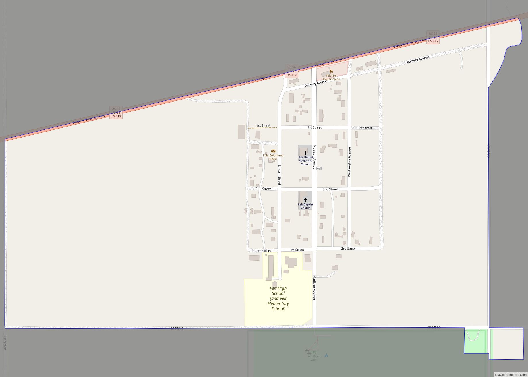
Felt is a small unincorporated community and census-designated place (CDP) in Cimarron County, Oklahoma, United States. As of the 2010 census it had a population of 93. It was named for C.F.W. Felt of the Santa Fe Railroad. Nearby is the Cedar Breaks Archeological District, included on the National Register of Historic Places listings in ... Read more
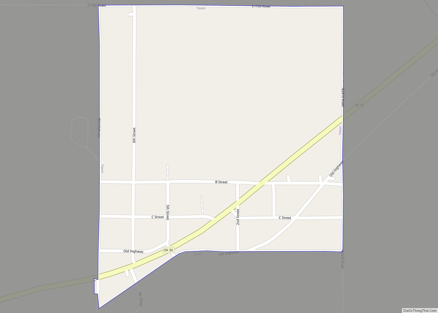
Faxon is a town in Comanche County, Oklahoma, United States. It is located on Oklahoma State Highway 36 about 18.3 driving miles southwest of Lawton. The population was 136 at the 2010 census. It is included in the Lawton, Oklahoma Metropolitan Statistical Area. Faxon town overview: Name: Faxon town LSAD Code: 43 LSAD Description: town ... Read more
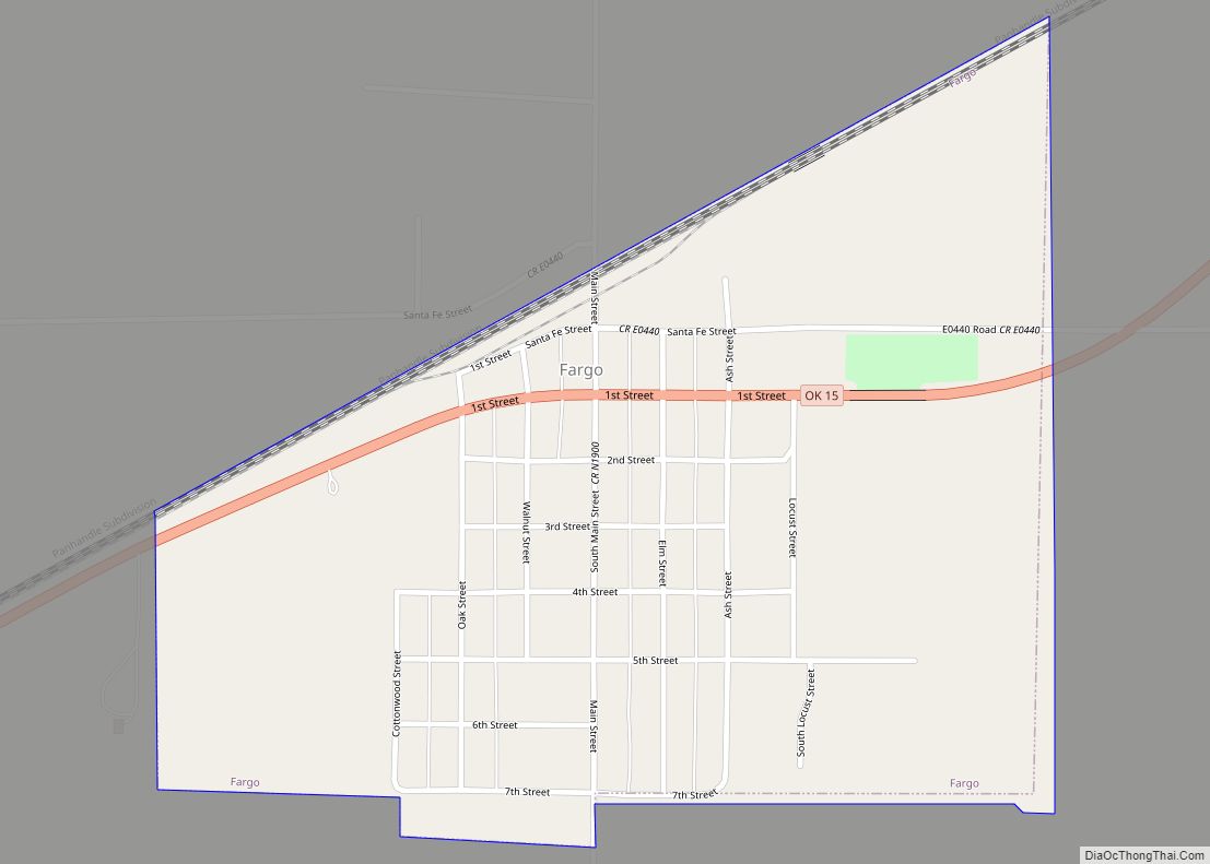
Fargo is a town in Ellis County, Oklahoma, United States. The population was 364 at the 2010 census. Fargo, like many towns in the region, has never fully recovered from the Dust Bowl years. Fargo town overview: Name: Fargo town LSAD Code: 43 LSAD Description: town (suffix) State: Oklahoma County: Ellis County Elevation: 2,110 ft (643 m) ... Read more
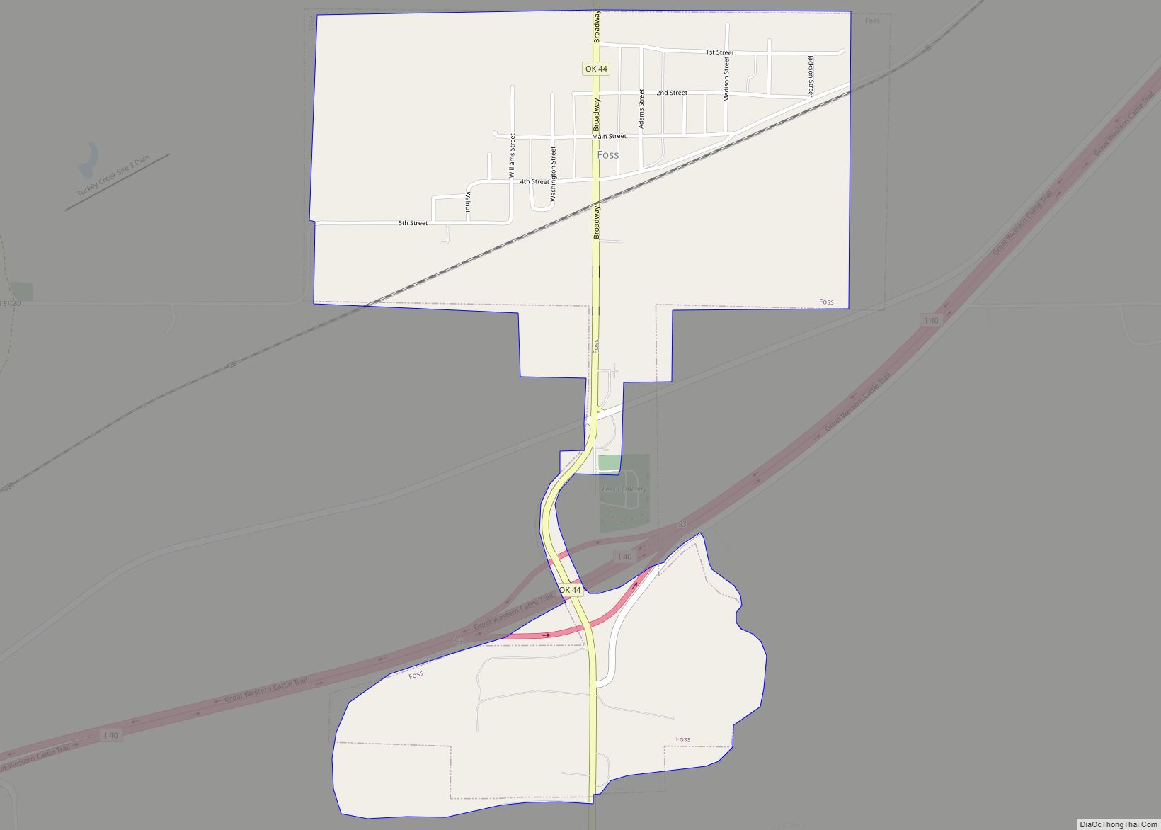
Foss is a town in Washita County, Oklahoma, United States. As of the 2010 census, the town population was 151, an 18.9 percent increase from 127 at the 2000 census. Foss town overview: Name: Foss town LSAD Code: 43 LSAD Description: town (suffix) State: Oklahoma County: Washita County Elevation: 1,640 ft (500 m) Total Area: 0.74 sq mi (1.91 km²) ... Read more
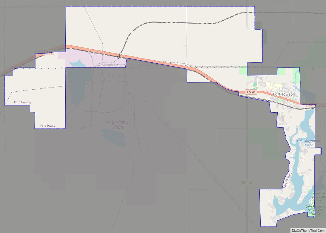
Fort Towson is a town in Choctaw County, Oklahoma, United States. The population was 510 at the 2010 census, a 15.1 percent decline from the figure of 611 recorded in 2000. It was named for nearby Fort Towson, which had been established in May 1824 and named for General Nathan Towson, a hero of the ... Read more
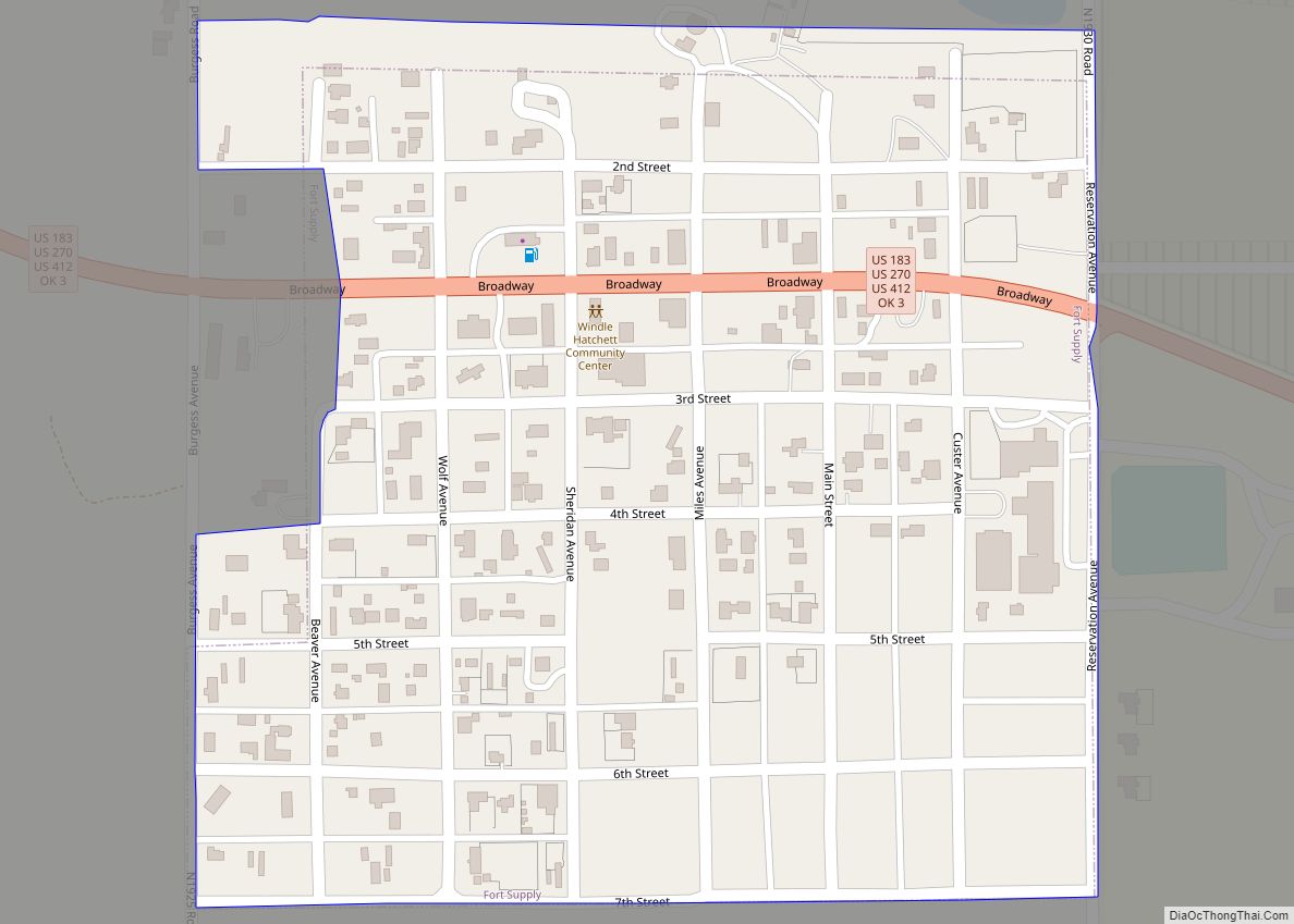
Fort Supply is a town in Woodward County, Oklahoma, United States, 13 kilometres (8.1 mi) northwest of the city of Woodward, the county seat. The population was 330 at the 2010 census. Fort Supply town overview: Name: Fort Supply town LSAD Code: 43 LSAD Description: town (suffix) State: Oklahoma County: Woodward County Elevation: 2,001 ft (610 m) Total ... Read more
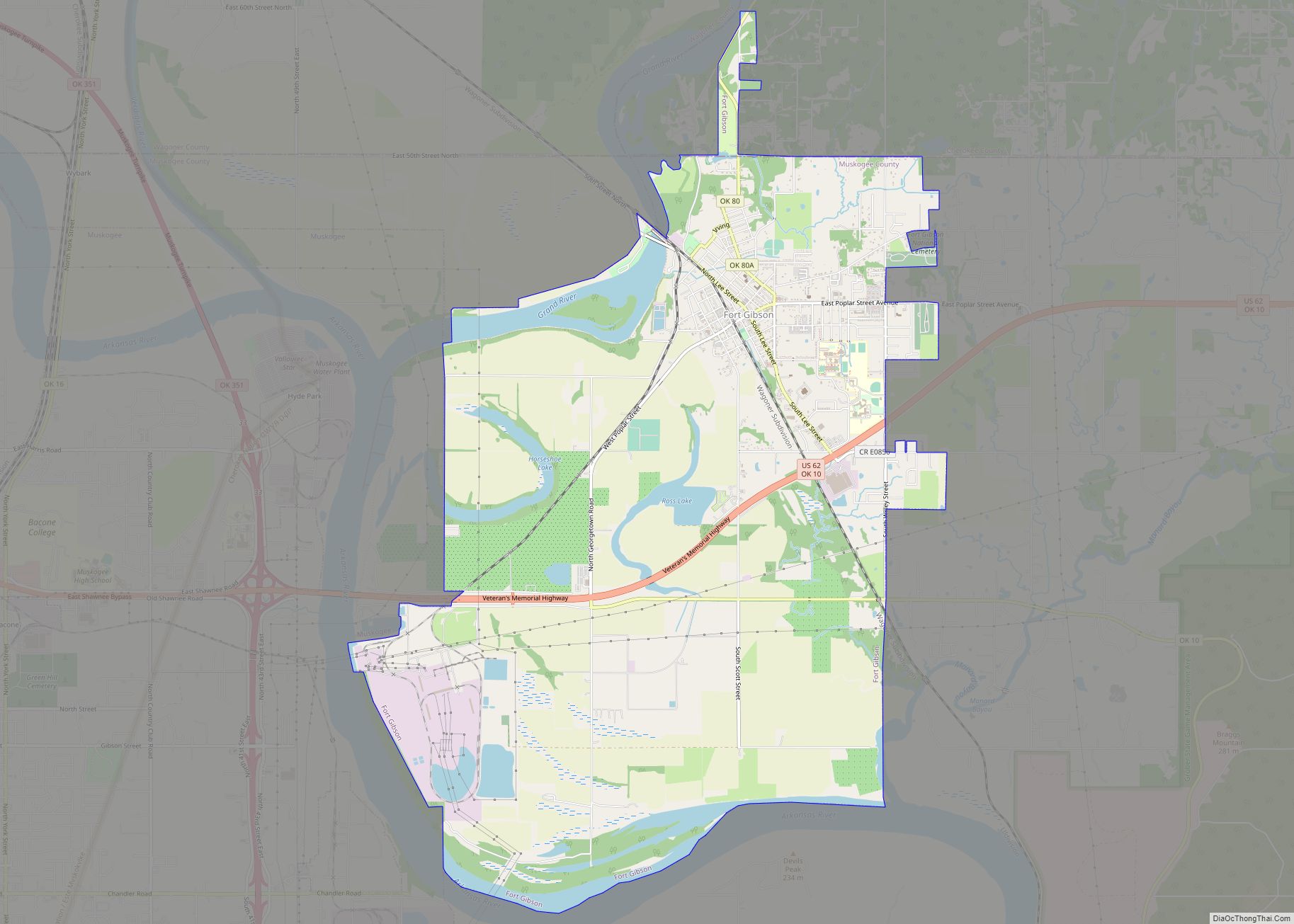
Fort Gibson is a town in Cherokee and Muskogee counties in the U.S. state of Oklahoma. The population was 4,154 at the 2010 census, an increase of 2.5 percent over the figure of 4,054 recorded in 2000. It is the location of Fort Gibson Historical Site and Fort Gibson National Cemetery and is located near ... Read more
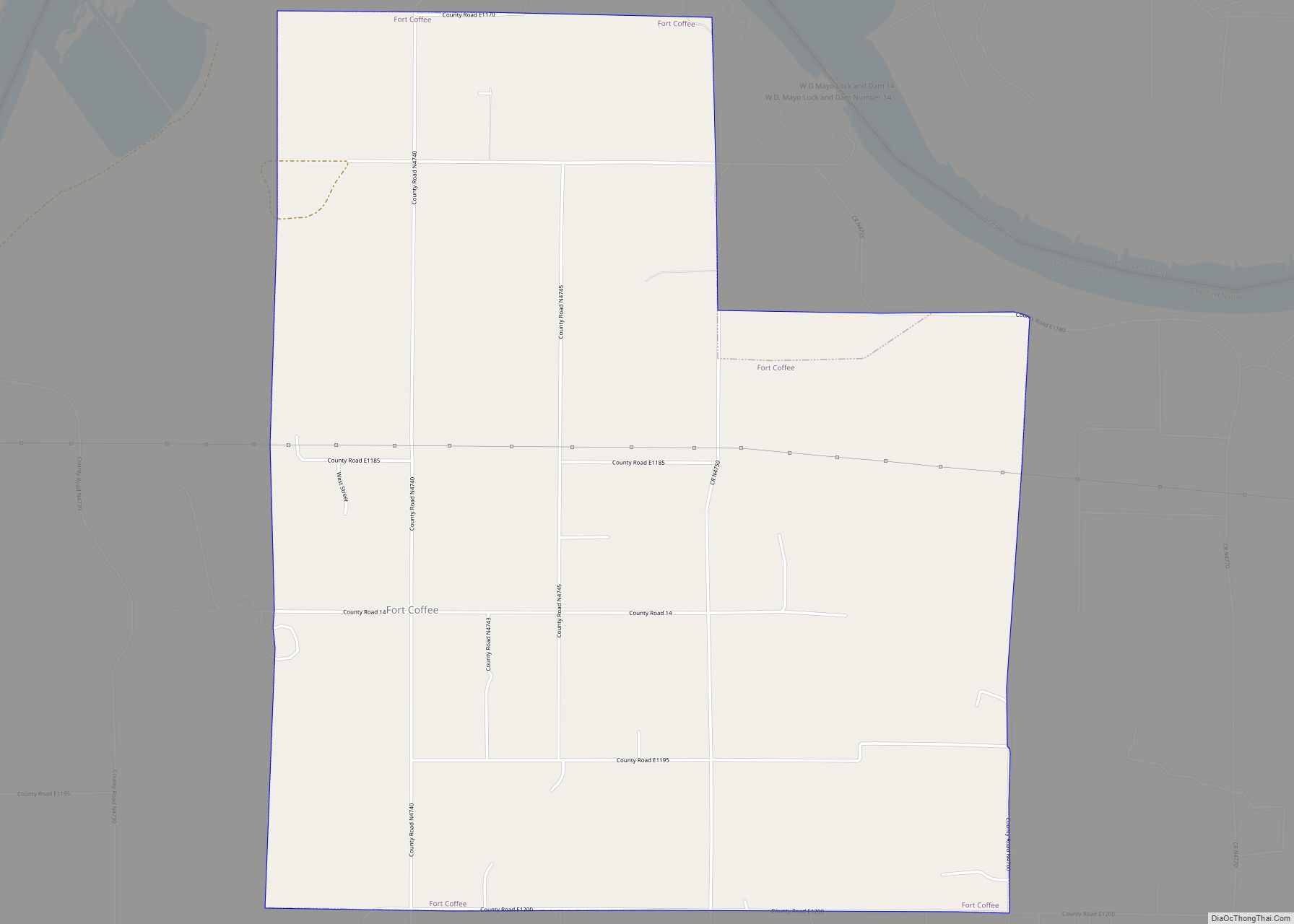
Fort Coffee is a town in Le Flore County, Oklahoma, United States. Originally constructed as a U. S. Army fort in 1834, it was named for U. S. General John Coffee, a veteran of the Seminole Wars. It is part of the Fort Smith, Arkansas-Oklahoma Metropolitan Statistical Area. The population was 424 at the 2010 ... Read more
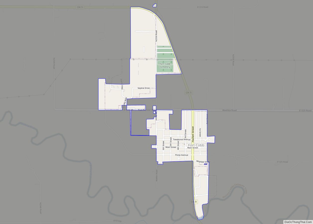
Fort Cobb is a town in Caddo County, Oklahoma, United States. The population was 634 at the 2010 census. Fort Cobb town overview: Name: Fort Cobb town LSAD Code: 43 LSAD Description: town (suffix) State: Oklahoma County: Caddo County Elevation: 1,253 ft (382 m) Total Area: 0.72 sq mi (1.87 km²) Land Area: 0.71 sq mi (1.84 km²) Water Area: 0.01 sq mi (0.02 km²) Total ... Read more
