Fallis is a town in Lincoln County, Oklahoma, United States. The population was 27 at the 2010 census, a decline of 3.6 percent from the figure of 28 in 2000.
| Name: | Fallis town |
|---|---|
| LSAD Code: | 43 |
| LSAD Description: | town (suffix) |
| State: | Oklahoma |
| County: | Lincoln County |
| Elevation: | 971 ft (296 m) |
| Total Area: | 0.34 sq mi (0.88 km²) |
| Land Area: | 0.34 sq mi (0.88 km²) |
| Water Area: | 0.00 sq mi (0.00 km²) |
| Total Population: | 21 |
| Population Density: | 61.40/sq mi (23.73/km²) |
| FIPS code: | 4025250 |
| GNISfeature ID: | 1092753 |
Online Interactive Map
Click on ![]() to view map in "full screen" mode.
to view map in "full screen" mode.
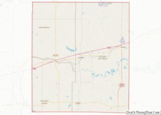
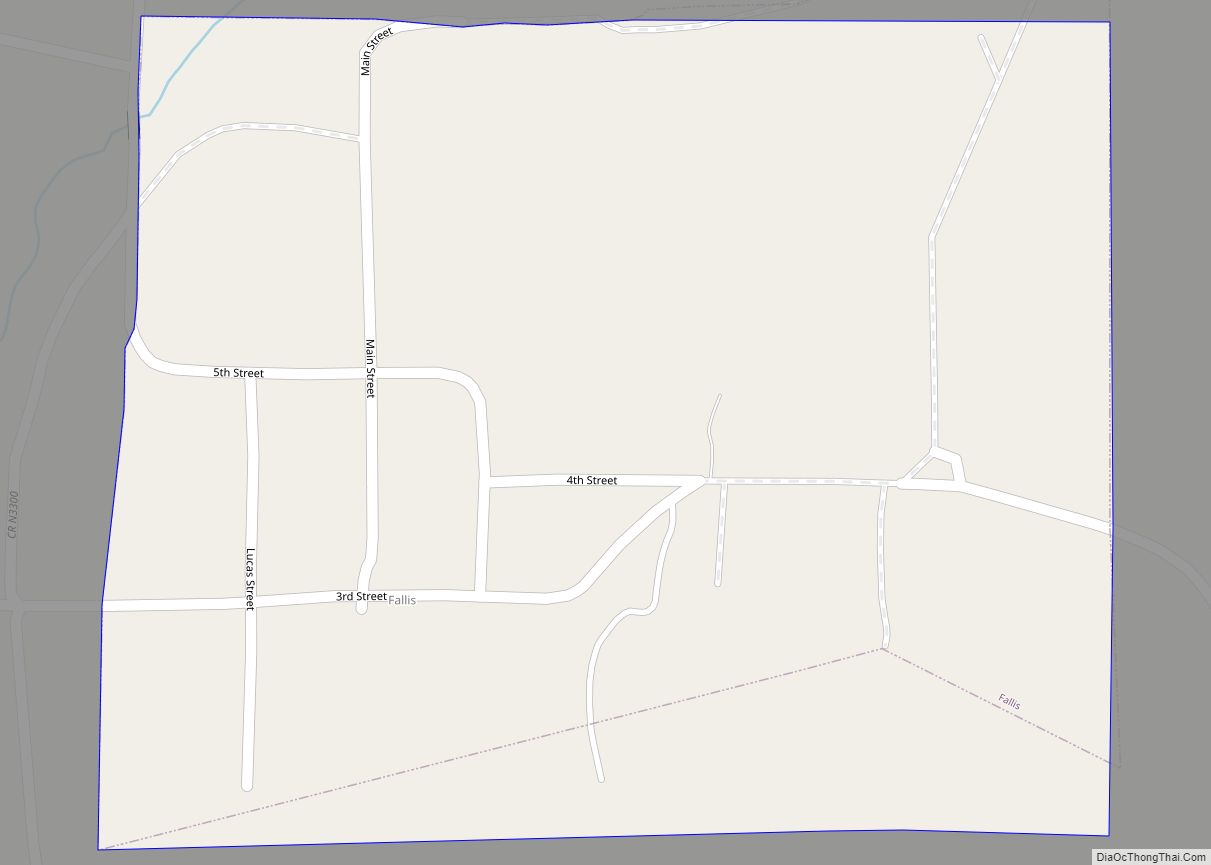
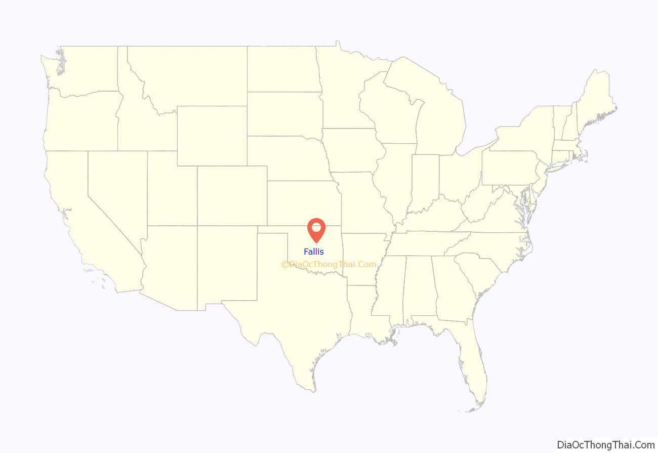
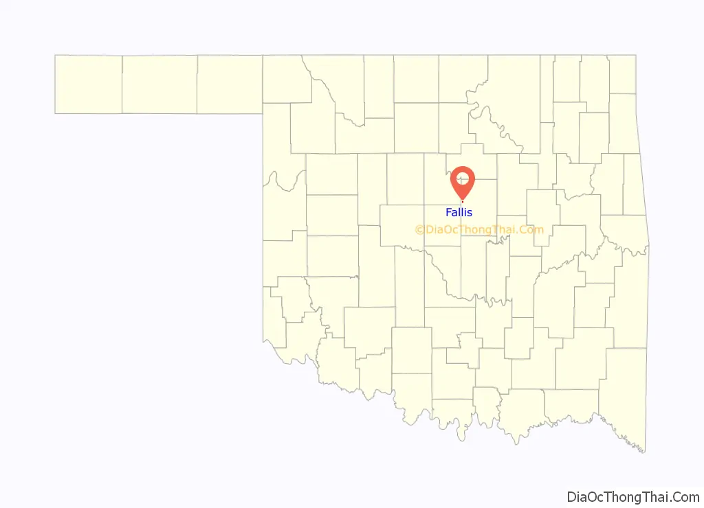
Fallis location map. Where is Fallis town?
History
Fallis was founded in 1892, just south of an Indian village on the western edge of the Iowa Reservation, in a wooded area and “on a long red hill.” Originally named Mission 1892–1894, it was renamed in 1894 for its prime developer and first postmaster, Judge William Henry Fallis. Although the town is mostly abandoned today, and is nearly a ghost town, during the early 1900s Fallis was a whistle-stop for several railroad lines, and was a thriving little community with stores, hotels, banks, lumber yards, and other businesses, as well as a city hall. The population may have reached 400 during this time. Fallis was the home of several accomplished authors and poets.
After the Great Depression, the Dust Bowl, and the decline of the railroad, by 1950 the population had fallen to just 105 residents, and much of the town was destroyed by fire in 1960. Very little of the old town was ever rebuilt, and only a handful of buildings remain.
However, Fallis still maintains a volunteer firestation, and a community center was built in 1999.
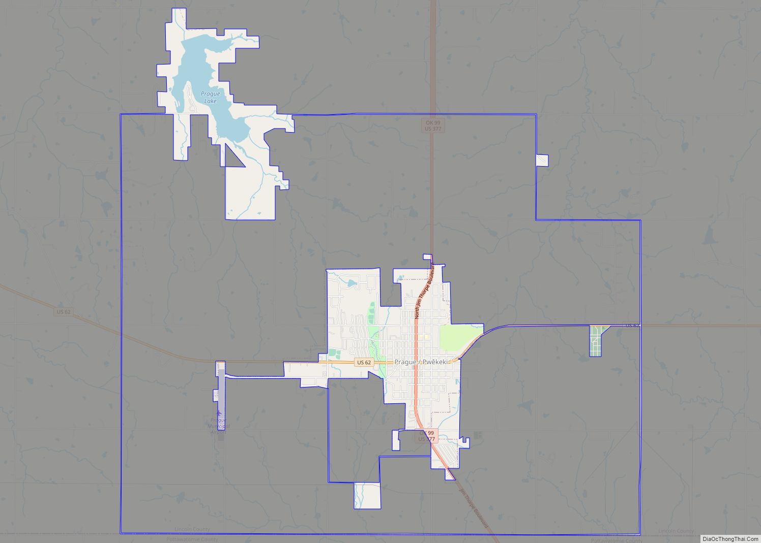
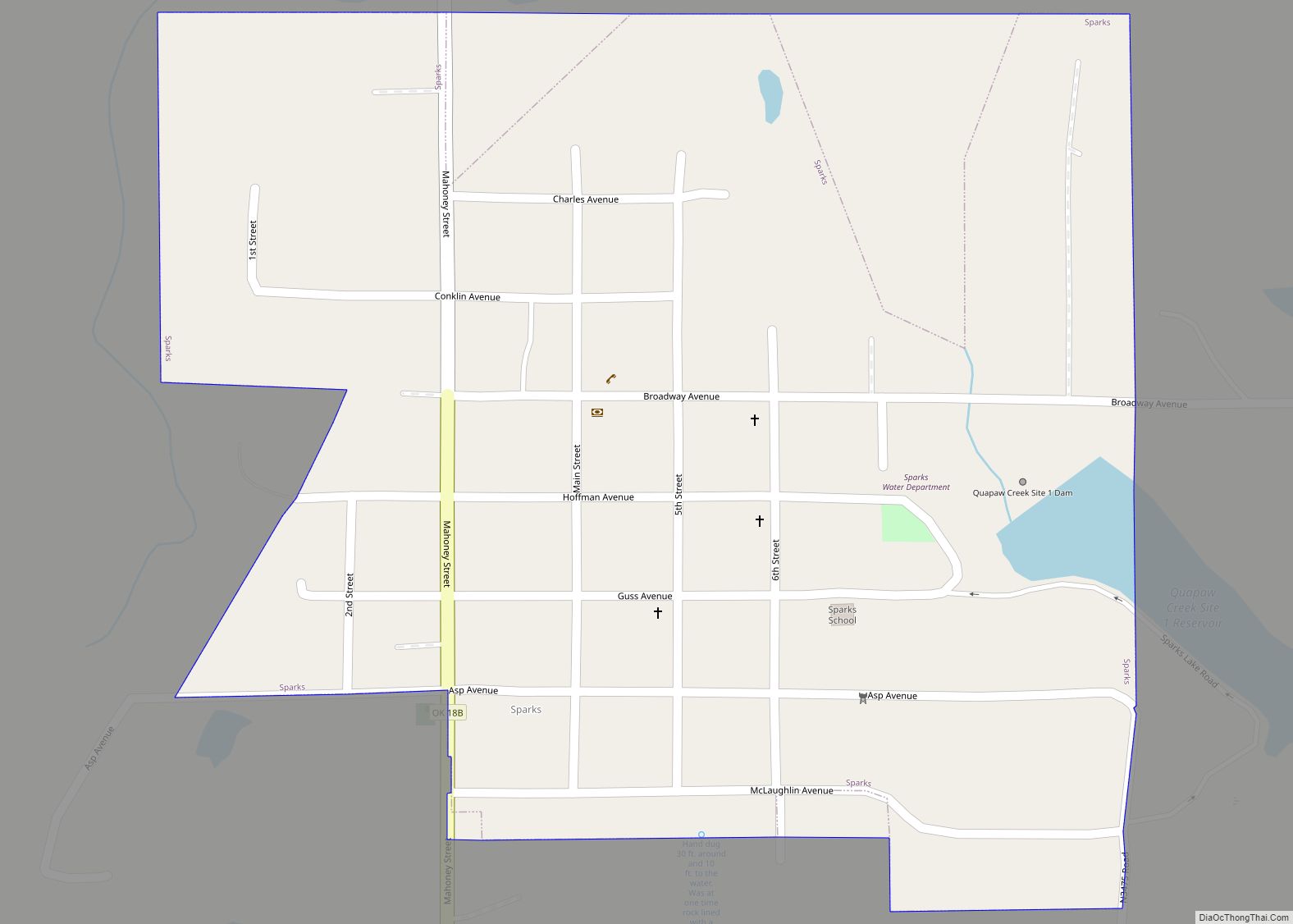
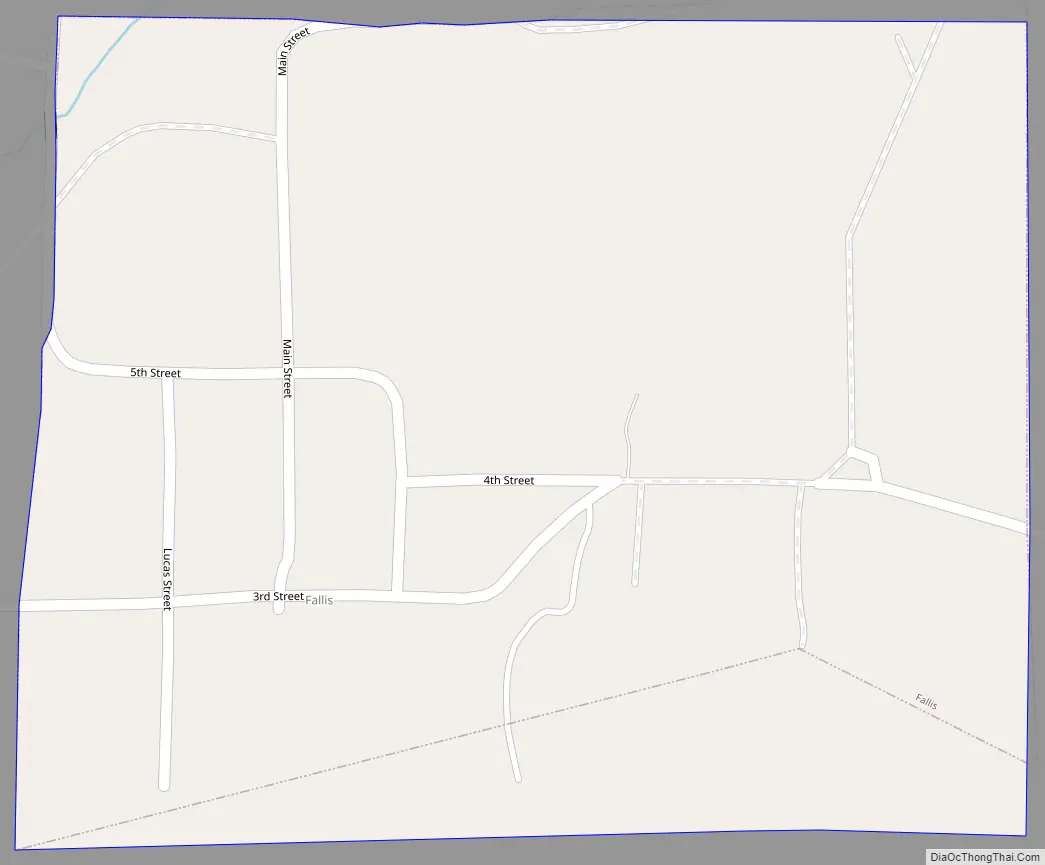
Fallis Road Map
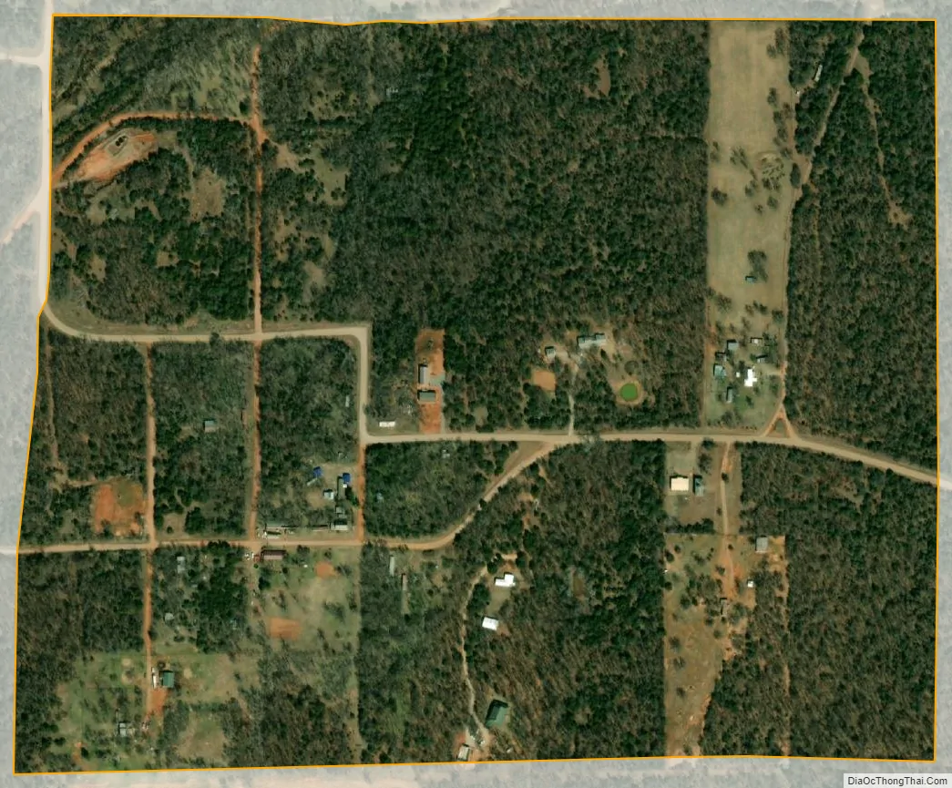
Fallis city Satellite Map
Geography
Fallis is located at 35°44′58″N 97°7′18″W / 35.74944°N 97.12167°W / 35.74944; -97.12167 (35.749471, -97.121665). Located in western Lincoln County, Fallis is situated on a paved county road five miles northwest of Wellston.
According to the United States Census Bureau, the town has a total area of 0.3 square miles (0.78 km), all land.
See also
Map of Oklahoma State and its subdivision:- Adair
- Alfalfa
- Atoka
- Beaver
- Beckham
- Blaine
- Bryan
- Caddo
- Canadian
- Carter
- Cherokee
- Choctaw
- Cimarron
- Cleveland
- Coal
- Comanche
- Cotton
- Craig
- Creek
- Custer
- Delaware
- Dewey
- Ellis
- Garfield
- Garvin
- Grady
- Grant
- Greer
- Harmon
- Harper
- Haskell
- Hughes
- Jackson
- Jefferson
- Johnston
- Kay
- Kingfisher
- Kiowa
- Latimer
- Le Flore
- Lincoln
- Logan
- Love
- Major
- Marshall
- Mayes
- McClain
- McCurtain
- McIntosh
- Murray
- Muskogee
- Noble
- Nowata
- Okfuskee
- Oklahoma
- Okmulgee
- Osage
- Ottawa
- Pawnee
- Payne
- Pittsburg
- Pontotoc
- Pottawatomie
- Pushmataha
- Roger Mills
- Rogers
- Seminole
- Sequoyah
- Stephens
- Texas
- Tillman
- Tulsa
- Wagoner
- Washington
- Washita
- Woods
- Woodward
- Alabama
- Alaska
- Arizona
- Arkansas
- California
- Colorado
- Connecticut
- Delaware
- District of Columbia
- Florida
- Georgia
- Hawaii
- Idaho
- Illinois
- Indiana
- Iowa
- Kansas
- Kentucky
- Louisiana
- Maine
- Maryland
- Massachusetts
- Michigan
- Minnesota
- Mississippi
- Missouri
- Montana
- Nebraska
- Nevada
- New Hampshire
- New Jersey
- New Mexico
- New York
- North Carolina
- North Dakota
- Ohio
- Oklahoma
- Oregon
- Pennsylvania
- Rhode Island
- South Carolina
- South Dakota
- Tennessee
- Texas
- Utah
- Vermont
- Virginia
- Washington
- West Virginia
- Wisconsin
- Wyoming