Forgan is a town in Beaver County, Oklahoma, United States. The population was 547 at the 2010 census.
| Name: | Forgan town |
|---|---|
| LSAD Code: | 43 |
| LSAD Description: | town (suffix) |
| State: | Oklahoma |
| County: | Beaver County |
| Elevation: | 2,592 ft (790 m) |
| Total Area: | 0.39 sq mi (1.02 km²) |
| Land Area: | 0.39 sq mi (1.02 km²) |
| Water Area: | 0.00 sq mi (0.00 km²) |
| Total Population: | 450 |
| Population Density: | 1,145.04/sq mi (441.87/km²) |
| ZIP code: | 73938 |
| Area code: | 580 |
| FIPS code: | 4026900 |
| GNISfeature ID: | 1092944 |
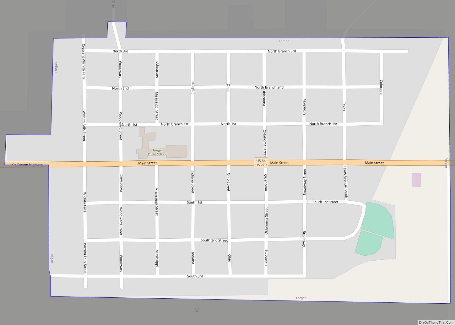
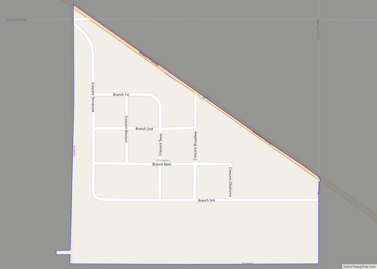
Online Interactive Map
Click on ![]() to view map in "full screen" mode.
to view map in "full screen" mode.
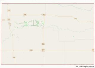
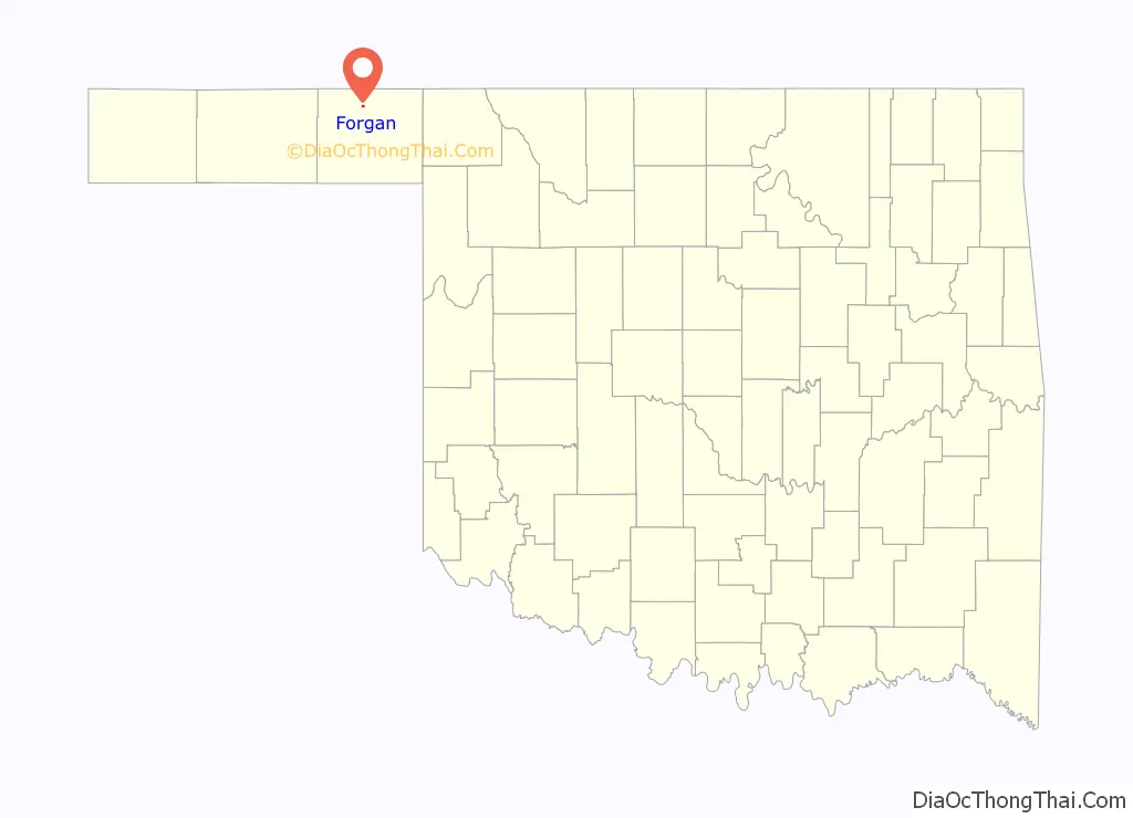
Forgan location map. Where is Forgan town?

History
The town name honors James B. Forgan, a Chicago banker and financier. L. B. Tooker established the first newspaper, the Forgan Enterprise, on June 6, 1912. A total of fifty-three businesses and four medical doctors were in the town at that time. As the town was located in a wheat-producing area, grain elevators were built to store wheat prior to shipment. The population dropped to 428 in 1940 after an exodus due to the Dust Bowl.
At the turn of the twenty-first century the economy was based on wheat and milo farming, ranching, the oil and gas industry, and corporate hog farms.
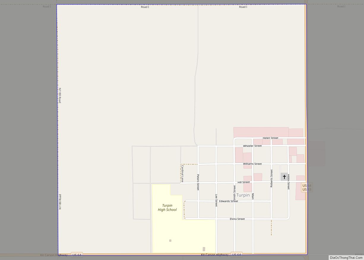
Forgan Road Map
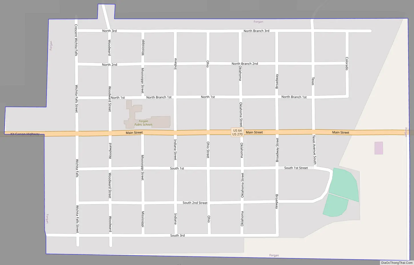
Forgan city Satellite Map

Geography
Forgan is located at 36°54′27″N 100°32′21″W / 36.90750°N 100.53917°W / 36.90750; -100.53917 (36.907505, -100.539253). Forgan lies between the Cimarron and Beaver rivers. According to the United States Census Bureau, the town has a total area of 0.4 square miles (1.0 km), all land.
See also
Map of Oklahoma State and its subdivision:- Adair
- Alfalfa
- Atoka
- Beaver
- Beckham
- Blaine
- Bryan
- Caddo
- Canadian
- Carter
- Cherokee
- Choctaw
- Cimarron
- Cleveland
- Coal
- Comanche
- Cotton
- Craig
- Creek
- Custer
- Delaware
- Dewey
- Ellis
- Garfield
- Garvin
- Grady
- Grant
- Greer
- Harmon
- Harper
- Haskell
- Hughes
- Jackson
- Jefferson
- Johnston
- Kay
- Kingfisher
- Kiowa
- Latimer
- Le Flore
- Lincoln
- Logan
- Love
- Major
- Marshall
- Mayes
- McClain
- McCurtain
- McIntosh
- Murray
- Muskogee
- Noble
- Nowata
- Okfuskee
- Oklahoma
- Okmulgee
- Osage
- Ottawa
- Pawnee
- Payne
- Pittsburg
- Pontotoc
- Pottawatomie
- Pushmataha
- Roger Mills
- Rogers
- Seminole
- Sequoyah
- Stephens
- Texas
- Tillman
- Tulsa
- Wagoner
- Washington
- Washita
- Woods
- Woodward
- Alabama
- Alaska
- Arizona
- Arkansas
- California
- Colorado
- Connecticut
- Delaware
- District of Columbia
- Florida
- Georgia
- Hawaii
- Idaho
- Illinois
- Indiana
- Iowa
- Kansas
- Kentucky
- Louisiana
- Maine
- Maryland
- Massachusetts
- Michigan
- Minnesota
- Mississippi
- Missouri
- Montana
- Nebraska
- Nevada
- New Hampshire
- New Jersey
- New Mexico
- New York
- North Carolina
- North Dakota
- Ohio
- Oklahoma
- Oregon
- Pennsylvania
- Rhode Island
- South Carolina
- South Dakota
- Tennessee
- Texas
- Utah
- Vermont
- Virginia
- Washington
- West Virginia
- Wisconsin
- Wyoming