Map of Tupelo city, Oklahoma
Tupelo is a city in Coal County, Oklahoma, United States. The population was 329 at the 2010 census. Tupelo city overview: Name: Tupelo city LSAD Code: 25 LSAD Description: city (suffix) State: Oklahoma County: Coal County Elevation: 689 ft (210 m) Total Area: 0.41 sq mi (1.08 km²) Land Area: 0.41 sq mi (1.08 km²) Water Area: 0.00 sq mi (0.00 km²) Total Population: 327 Population ... Read more
Map of Tupelo city, Oklahoma
Map of Tullahassee town
Tullahassee is a town in Wagoner County, Oklahoma, United States. The population was 106 in both the 2010 and the 2000 censuses. It was the location of Tullahassee Mission, an Indian boarding school that burned in 1880. Because their population in the community had declined, the Muscogee Creek gave the school to Creek Freedmen, paying ... Read more
Map of Tullahassee town
Map of Tryon town, Oklahoma
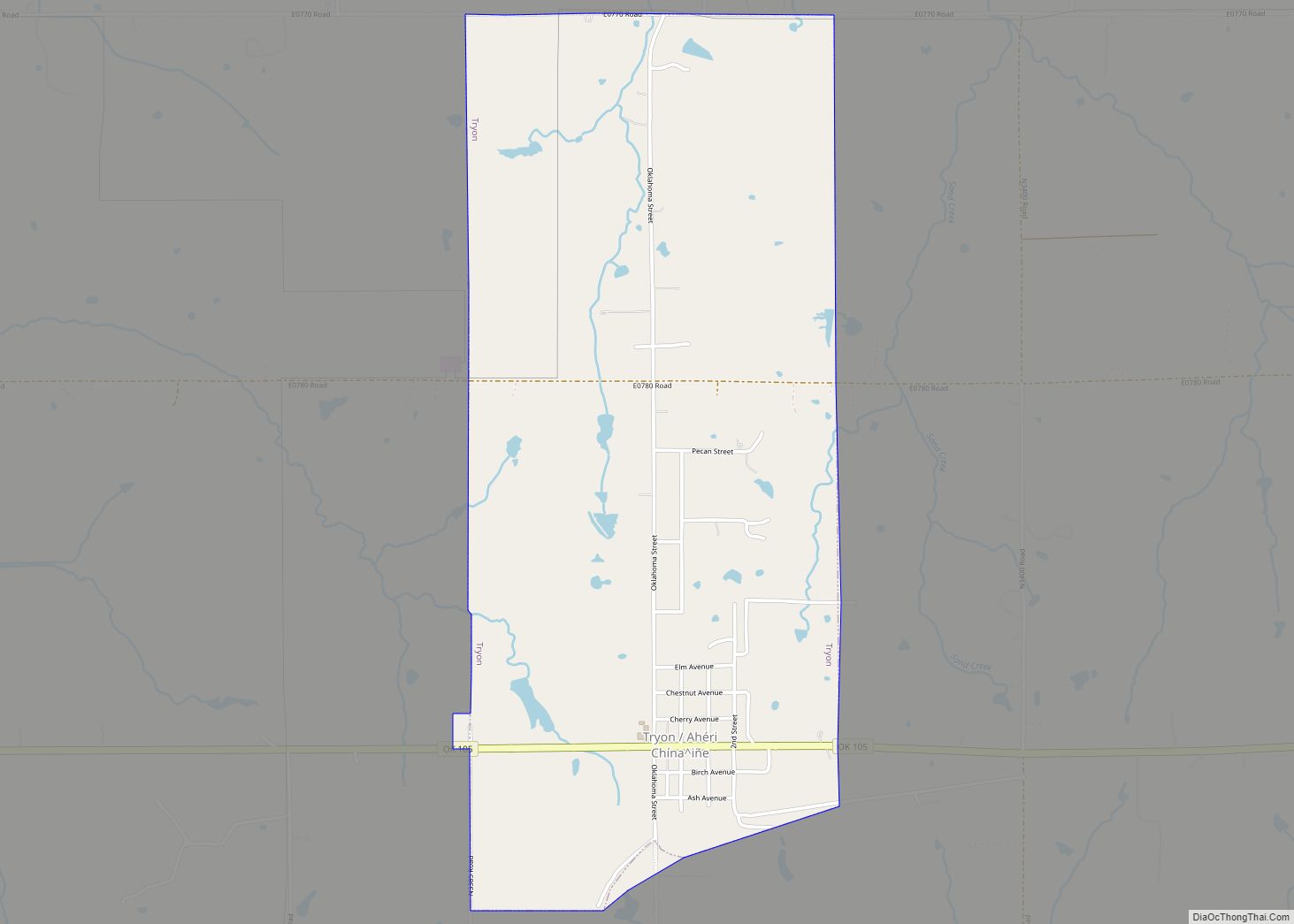
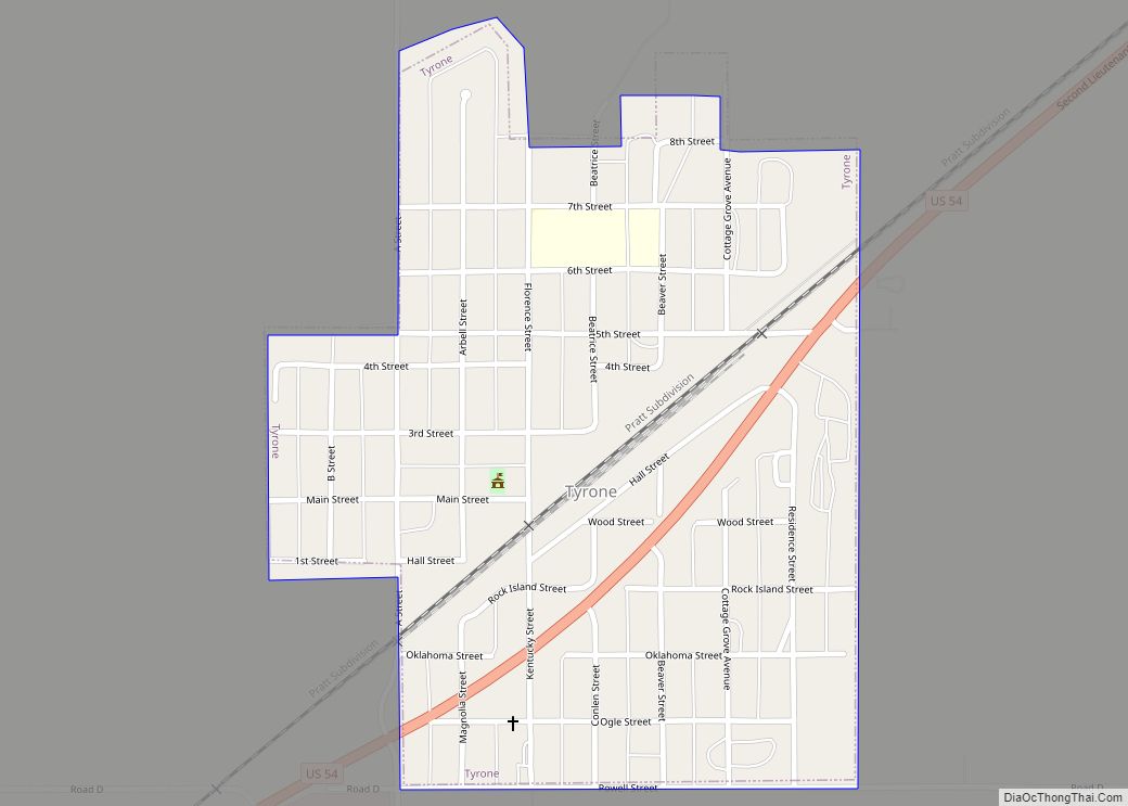
Tryon (Iowa-Oto: Ahéri Chína^iñe, meaning: “On-hill town little”) is a town in Lincoln County, Oklahoma, United States. The population was 491 at the 2010 census. The community is named after early land owner Fred S. Tryon. Tryon town overview: Name: Tryon town LSAD Code: 43 LSAD Description: town (suffix) State: Oklahoma County: Lincoln County Elevation: ... Read more
Map of Tryon town, Oklahoma
Map of Tribbey town
Tribbey is a town in Pottawatomie County, Oklahoma, United States.The community was named for Alpheus M. Tribbey, landowner. The population was 391 at the 2010 census, a 43.2 percent gain from the figure of 273 in 2000. Tribbey town overview: Name: Tribbey town LSAD Code: 43 LSAD Description: town (suffix) State: Oklahoma County: Pottawatomie County ... Read more
Map of Tribbey town
Map of Tonkawa city
Tonkawa is a city in Kay County, Oklahoma, United States, along the Salt Fork Arkansas River. The population was 3,216 at the 2010 census, a decline of 2.5 percent from the figure of 3,299 in 2000. Tonkawa city overview: Name: Tonkawa city LSAD Code: 25 LSAD Description: city (suffix) State: Oklahoma County: Kay County Elevation: ... Read more
Map of Tonkawa city
Map of Titanic CDP
Titanic is a census-designated place (CDP) in Adair County, Oklahoma, United States. The population was 356 at the 2010 census. It was presumably named after the famous ocean liner RMS Titanic. A post office was established in Titanic, on January 3, 1916, but discontinued on December 31, 1927, with mail to Stilwell. Titanic CDP overview: ... Read more
Map of Titanic CDP
Map of Valley Park town, Oklahoma
Valley Park is a town in Rogers County, Oklahoma, United States. The population was 77 at the 2010 census, up 221 percent from the figure of 24 recorded in 2000. Valley Park town overview: Name: Valley Park town LSAD Code: 43 LSAD Description: town (suffix) State: Oklahoma County: Rogers County Elevation: 715 ft (218 m) Total Area: ... Read more
Map of Valley Park town, Oklahoma
Map of Valley Brook town
Valley Brook is a town in Oklahoma County, Oklahoma, United States, and is part of the Oklahoma City Metropolitan Area. The population was 765 at the 2010 census. Valley Brook town overview: Name: Valley Brook town LSAD Code: 43 LSAD Description: town (suffix) State: Oklahoma County: Oklahoma County Elevation: 1,260 ft (380 m) Total Area: 0.26 sq mi (0.68 km²) ... Read more
Map of Valley Brook town
Map of Union City town, Oklahoma
Union City is a town in Canadian County, Oklahoma, United States. The population was 1,645 at the 2010 census, a 19.6 percent increase from 1,375 in 2000. It is part of the Oklahoma City metropolitan statistical area. Union City town overview: Name: Union City town LSAD Code: 43 LSAD Description: town (suffix) State: Oklahoma County: ... Read more
Map of Union City town, Oklahoma
Map of Tyrone town, Oklahoma
Tyrone is a town in northeastern Texas County, Oklahoma, United States. The population was 762 at the 2010 census. Tyrone town overview: Name: Tyrone town LSAD Code: 43 LSAD Description: town (suffix) State: Oklahoma County: Texas County Elevation: 2,920 ft (890 m) Total Area: 0.42 sq mi (1.09 km²) Land Area: 0.42 sq mi (1.09 km²) Water Area: 0.00 sq mi (0.00 km²) Total Population: 729 ... Read more
Map of Tyrone town, Oklahoma
Map of Twin Oaks CDP, Oklahoma
Twin Oaks is an unincorporated community and census-designated place (CDP) in Delaware County, Oklahoma, United States. The population was 198 at the 2010 census. A tornado hit the town on March 12, 2006, destroying 36 homes and damaging 31 others. 8 people were injured. Twin Oaks CDP overview: Name: Twin Oaks CDP LSAD Code: 57 ... Read more
Map of Twin Oaks CDP, Oklahoma
Map of Tuttle city, Oklahoma
Tuttle is a city in Grady County, Oklahoma, United States. The population was 7,413 with the close of the 2020 census, seeing a 23.2% increase from 6,010 in 2010. Tuttle city overview: Name: Tuttle city LSAD Code: 25 LSAD Description: city (suffix) State: Oklahoma County: Grady County Elevation: 1,319 ft (402 m) Total Area: 29.49 sq mi (76.37 km²) Land ... Read more
Map of Tuttle city, Oklahoma