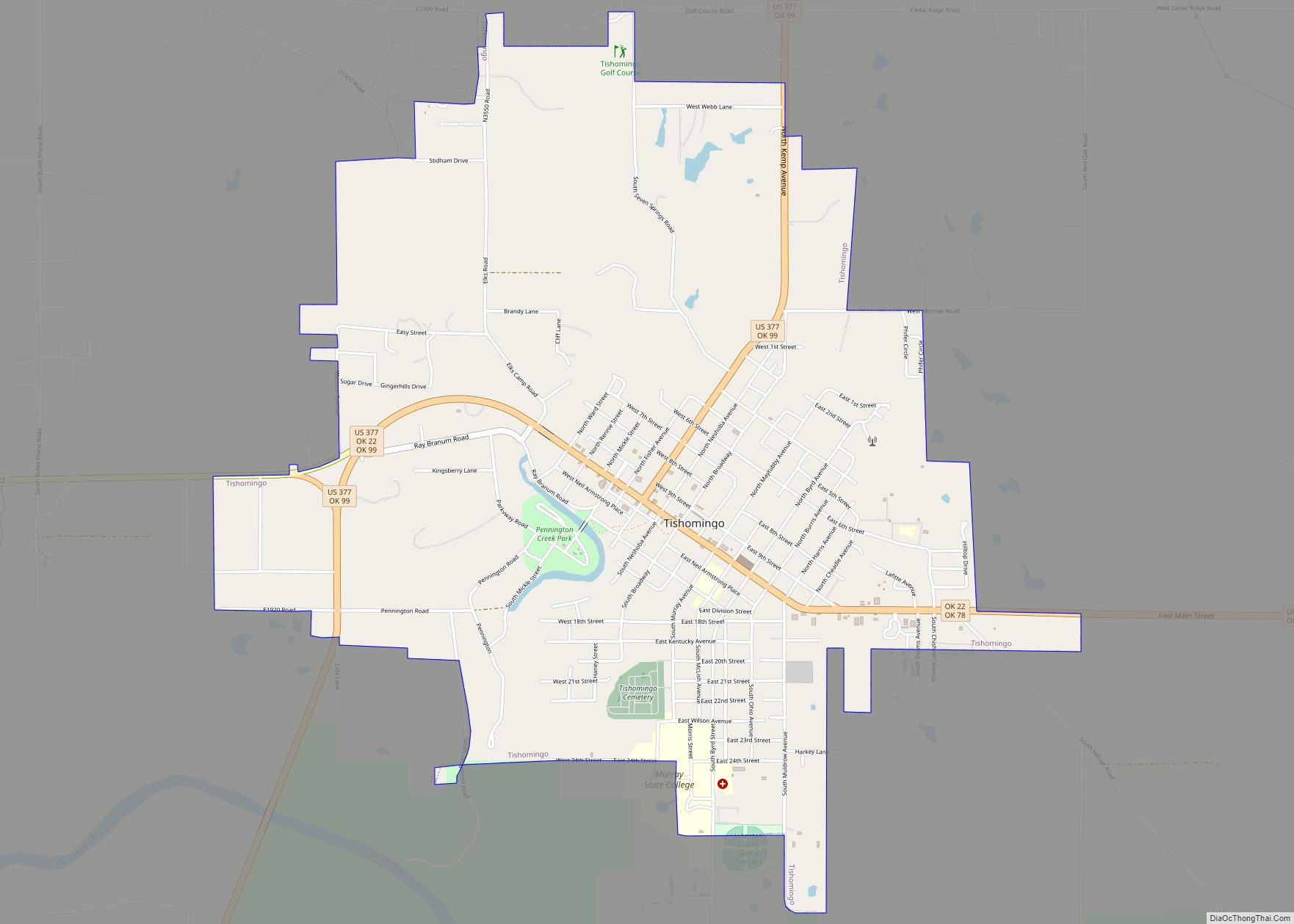
Tishomingo is the largest city in, and the county seat of, Johnston County, Oklahoma, United States. The population was 3,034 at the 2010 census, a decline of 4.1 percent from the figure of 3,162 in 2000. It was the first capital of the Chickasaw Nation, from 1856 until Oklahoma statehood in 1907. The city is home to Murray State College, a community college with an annual enrollment of 3,015 students. Tishomingo is part of the Texoma region.
| Name: | Tishomingo city |
|---|---|
| LSAD Code: | 25 |
| LSAD Description: | city (suffix) |
| State: | Oklahoma |
| County: | Johnston County |
| Elevation: | 669 ft (204 m) |
| Total Area: | 5.34 sq mi (13.84 km²) |
| Land Area: | 5.26 sq mi (13.62 km²) |
| Water Area: | 0.09 sq mi (0.22 km²) |
| Total Population: | 3,101 |
| Population Density: | 589.66/sq mi (227.66/km²) |
| ZIP code: | 73460 |
| Area code: | 580 |
| FIPS code: | 4073900 |
| GNISfeature ID: | 1098926 |
Online Interactive Map
Click on ![]() to view map in "full screen" mode.
to view map in "full screen" mode.
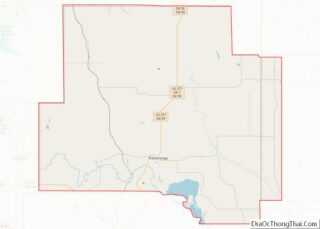
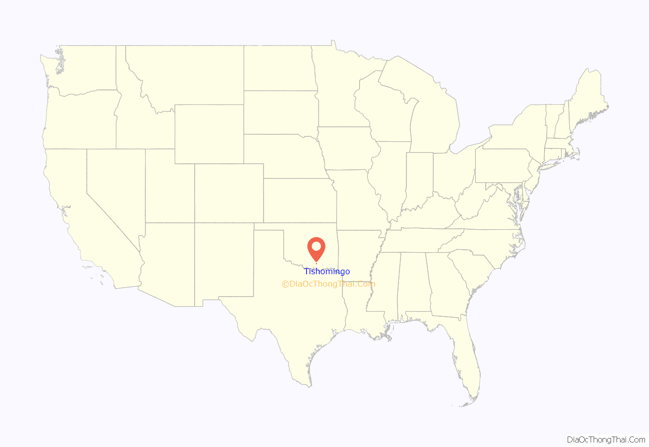
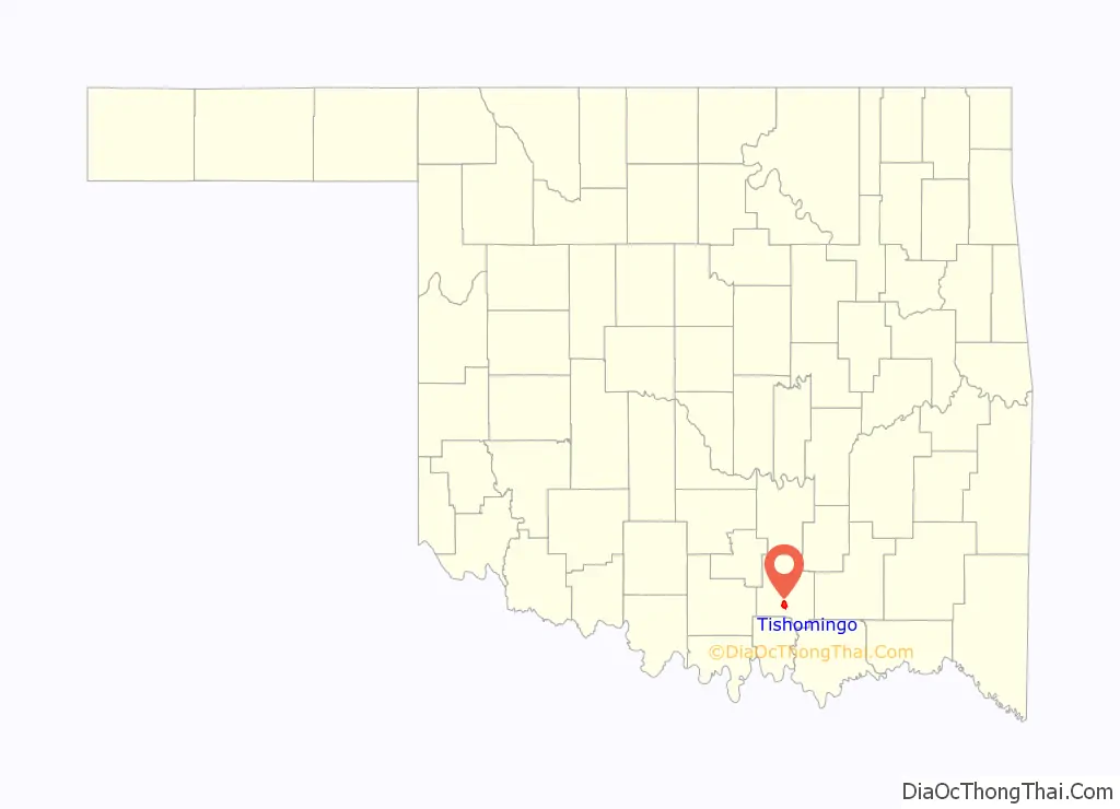
Tishomingo location map. Where is Tishomingo city?
History
Tishomingo was named for Tishomingo, who died of smallpox on the Trail of Tears near Little Rock, Arkansas, after the Chickasaws had been removed from their original homelands in and around Tishomingo, Mississippi.
Before the founding of Tishomingo in 1852, the area was known as “Good Springs”, for the presence of several springs that made the area a suitable campsite along the road between Fort Washita and Fort Arbuckle. A small town had replaced the old campsites with permanent structures and had been renamed “Tishomingo” by 1856, when it was designated as the Chickasaw capital. A post office was established in 1857.
The Chickasaw Capitol Building was constructed in 1897 from local red granite and officially dedicated in 1898. It housed the tribal governor, the bicameral legislature and other government officials and clerks. The territorial court also met there from time to time. The territorial government was dissolved at statehood. In 1910, the building was sold to Johnston County, becoming the county court house.
The Western Oklahoma Railroad was built from Haileyville to Ardmore via Tishomingo in 1902, and bought by the Chicago, Rock Island and Pacific Railway in the same year. It was abandoned in 1938.
Tishomingo Cemetery dates back to at least 1832. Notables buried there include two former Oklahoma governors, William H. Murray and Johnston Murray, and Chickasaw Nation governors Douglas H. Johnson and Robert M. Harris.
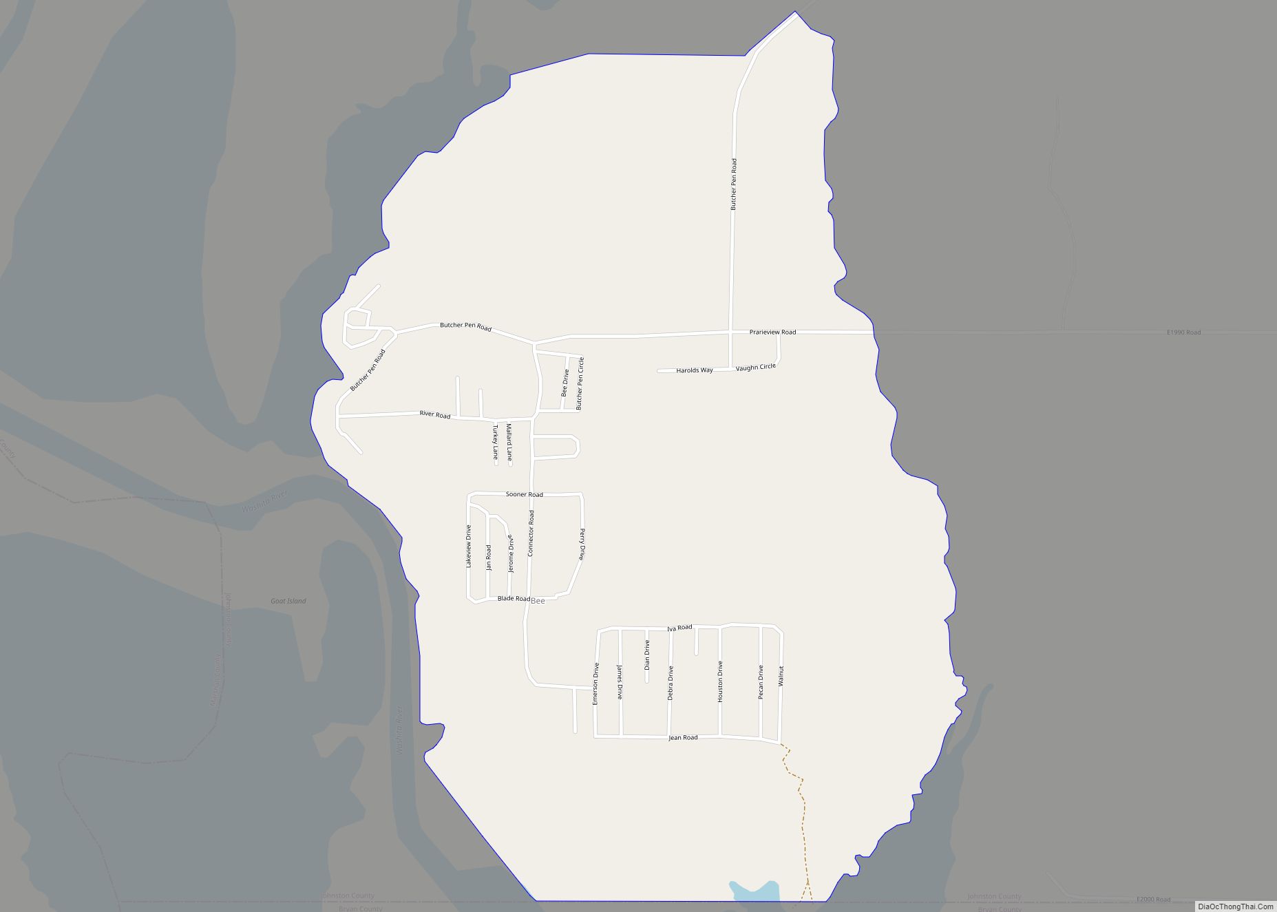
Tishomingo Road Map
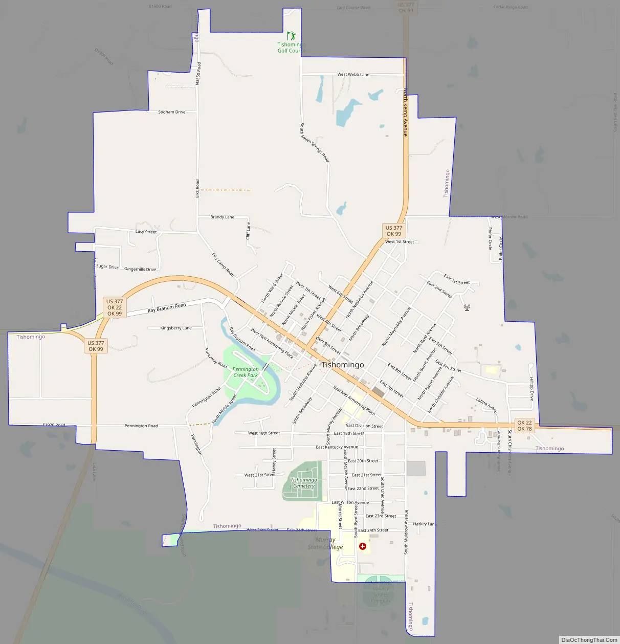
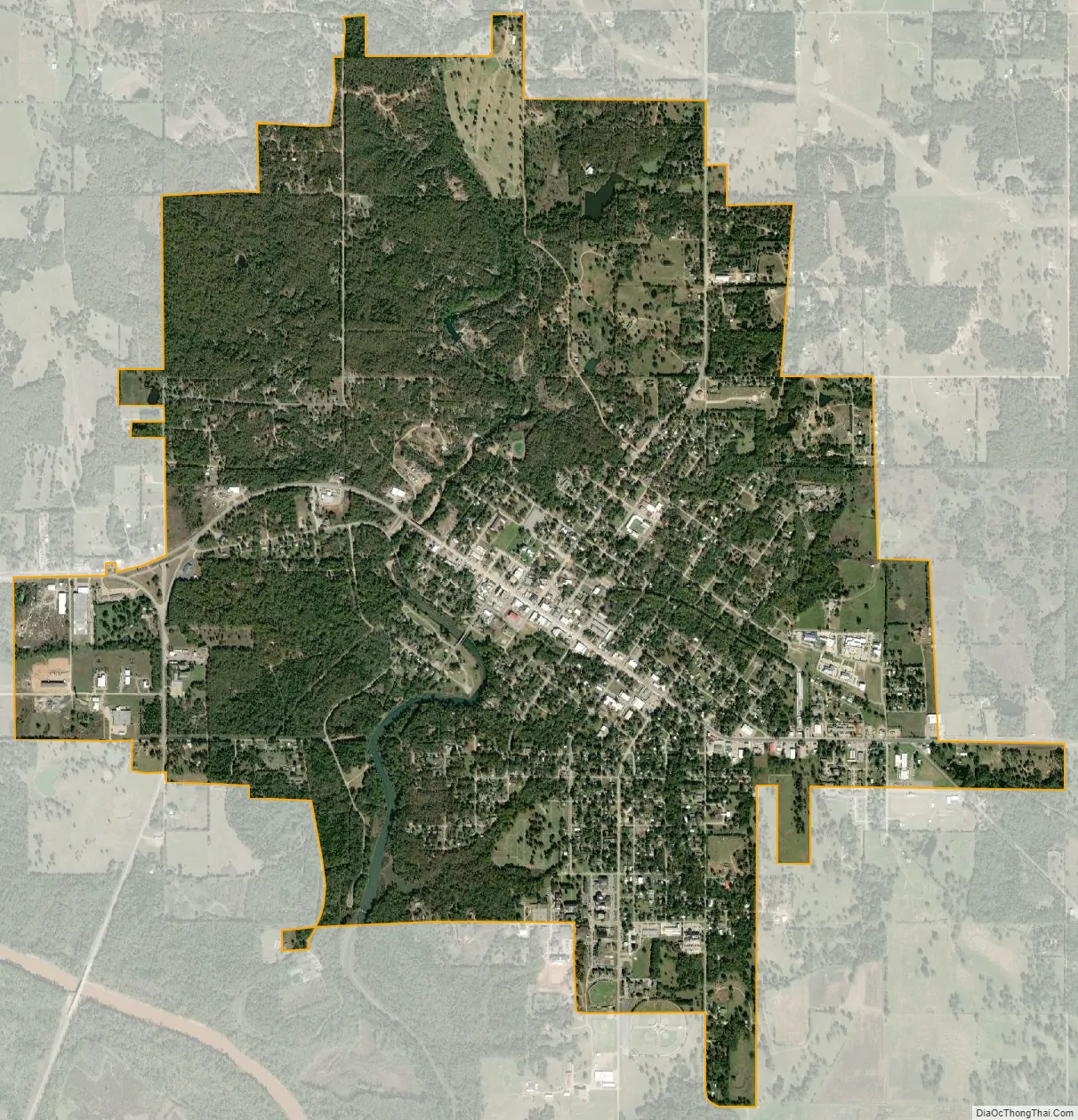
Tishomingo city Satellite Map
Geography
Tishomingo is located in south-central Johnston County at 34°14′8″N 96°40′39″W / 34.23556°N 96.67750°W / 34.23556; -96.67750 (34.235575, -96.677542). U.S. Route 377 runs through the center of the city, leading south 13 miles (21 km) to Madill and north 40 miles (64 km) to Ada. Oklahoma State Highway 22 also passes through the center of Tishomingo, leading southeast 23 miles (37 km) to Kenefic and west 4 miles (6 km) to Ravia. Ardmore is 31 miles (50 km) west of Tishomingo, and Oklahoma City is 116 miles (187 km) to the northwest.
According to the United States Census Bureau, Tishomingo has a total area of 4.5 square miles (11.6 km), of which 4.4 square miles (11.3 km) are land and 0.1 square miles (0.3 km), or 2.38%, are water. Pennington Creek flows through the west side of the city, leading south 2 miles (3 km) to the Washita River where it becomes an arm of Lake Texoma. The Tishomingo National Wildlife Refuge, covering the bottomlands of the river and creek valleys, borders the city to the south.
See also
Map of Oklahoma State and its subdivision:- Adair
- Alfalfa
- Atoka
- Beaver
- Beckham
- Blaine
- Bryan
- Caddo
- Canadian
- Carter
- Cherokee
- Choctaw
- Cimarron
- Cleveland
- Coal
- Comanche
- Cotton
- Craig
- Creek
- Custer
- Delaware
- Dewey
- Ellis
- Garfield
- Garvin
- Grady
- Grant
- Greer
- Harmon
- Harper
- Haskell
- Hughes
- Jackson
- Jefferson
- Johnston
- Kay
- Kingfisher
- Kiowa
- Latimer
- Le Flore
- Lincoln
- Logan
- Love
- Major
- Marshall
- Mayes
- McClain
- McCurtain
- McIntosh
- Murray
- Muskogee
- Noble
- Nowata
- Okfuskee
- Oklahoma
- Okmulgee
- Osage
- Ottawa
- Pawnee
- Payne
- Pittsburg
- Pontotoc
- Pottawatomie
- Pushmataha
- Roger Mills
- Rogers
- Seminole
- Sequoyah
- Stephens
- Texas
- Tillman
- Tulsa
- Wagoner
- Washington
- Washita
- Woods
- Woodward
- Alabama
- Alaska
- Arizona
- Arkansas
- California
- Colorado
- Connecticut
- Delaware
- District of Columbia
- Florida
- Georgia
- Hawaii
- Idaho
- Illinois
- Indiana
- Iowa
- Kansas
- Kentucky
- Louisiana
- Maine
- Maryland
- Massachusetts
- Michigan
- Minnesota
- Mississippi
- Missouri
- Montana
- Nebraska
- Nevada
- New Hampshire
- New Jersey
- New Mexico
- New York
- North Carolina
- North Dakota
- Ohio
- Oklahoma
- Oregon
- Pennsylvania
- Rhode Island
- South Carolina
- South Dakota
- Tennessee
- Texas
- Utah
- Vermont
- Virginia
- Washington
- West Virginia
- Wisconsin
- Wyoming