Valliant is a town in McCurtain County, Oklahoma, United States. The population was 754 at the 2010 census.
| Name: | Valliant town |
|---|---|
| LSAD Code: | 43 |
| LSAD Description: | town (suffix) |
| State: | Oklahoma |
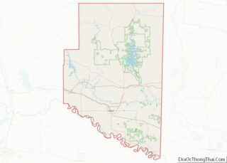
| County: | McCurtain County |
| Elevation: | 518 ft (158 m) |
| Total Area: | 1.94 sq mi (5.01 km²) |
| Land Area: | 1.93 sq mi (5.00 km²) |
| Water Area: | 0.01 sq mi (0.02 km²) |
| Total Population: | 819 |
| Population Density: | 424.57/sq mi (163.91/km²) |
| ZIP code: | 74764 |
| Area code: | 580 |
| FIPS code: | 4076650 |
Online Interactive Map
Click on ![]() to view map in "full screen" mode.
to view map in "full screen" mode.
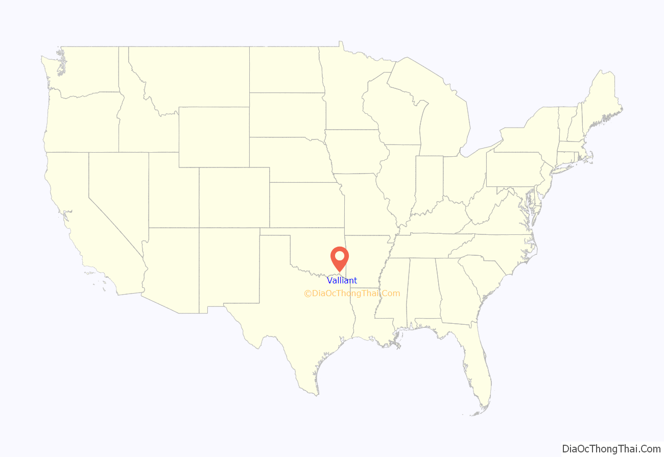
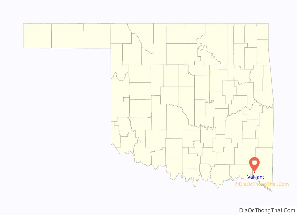
Valliant location map. Where is Valliant town?
History
Valliant was founded June 2, 1902, in what was the Choctaw Nation, Indian Territory, and named for Frank W. Valliant, a chief divisional engineer for the Arkansas and Choctaw Railway then being constructed in the area. At the time of its founding, Valliant was located in Towson County, a part of the Apukshunnubbee District, one of three administrative super-regions comprising the Choctaw Nation.
A cotton gin opened in 1903, and continued operation until the 1930s. In 1904, the town incorporated and elected its first mayor. A newspaper began publishing in 1905. Before 1920, the community had two banks, three hotels and nearly 20 other businesses.
Dierks Forests, Inc., known until 1954 as the Dierks Lumber and Coal Company and originally known as Choctaw Lumber Co., was a timber harvesting and processing company primarily in Oklahoma and Arkansas which started with a purchase of forest in 1903 near Valliant. The company grew to own 1.75 million acres of timberland, making it one of the largest family-owned landholding entities in the United States before it was sold to the Weyerhaeuser Company in 1969.
Pine Creek Dam was built nearby in the 1960s to control flooding along the stream. Pine Creek Lake and the Pine Creek Wildlife Management Area, directly north of town, have attracted vacationers.
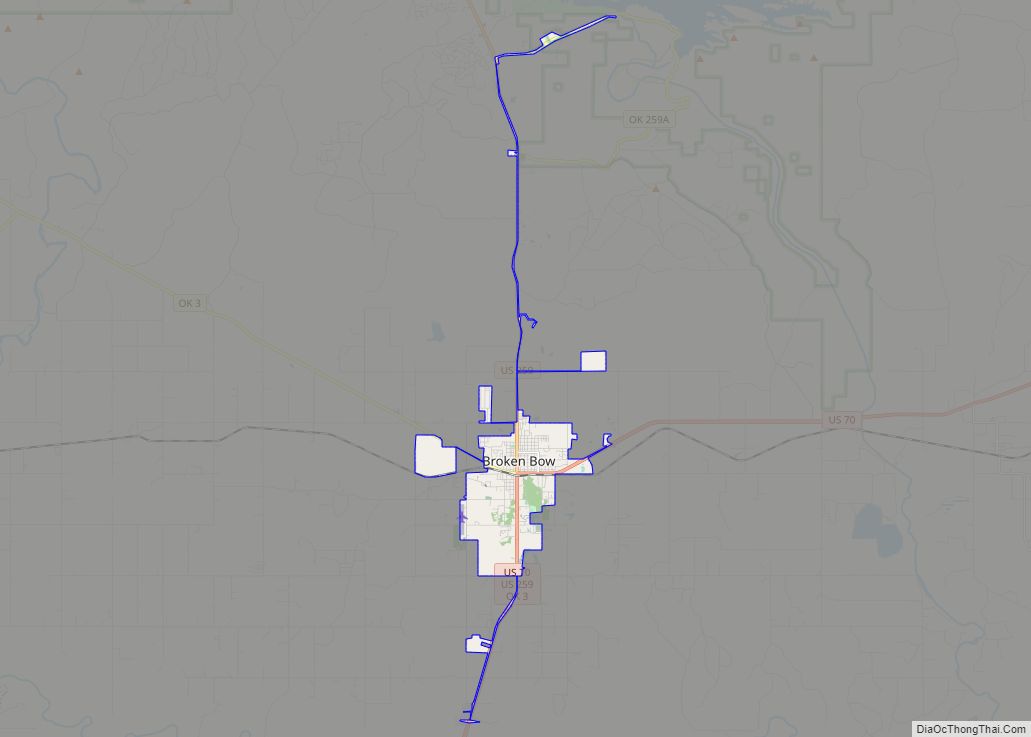
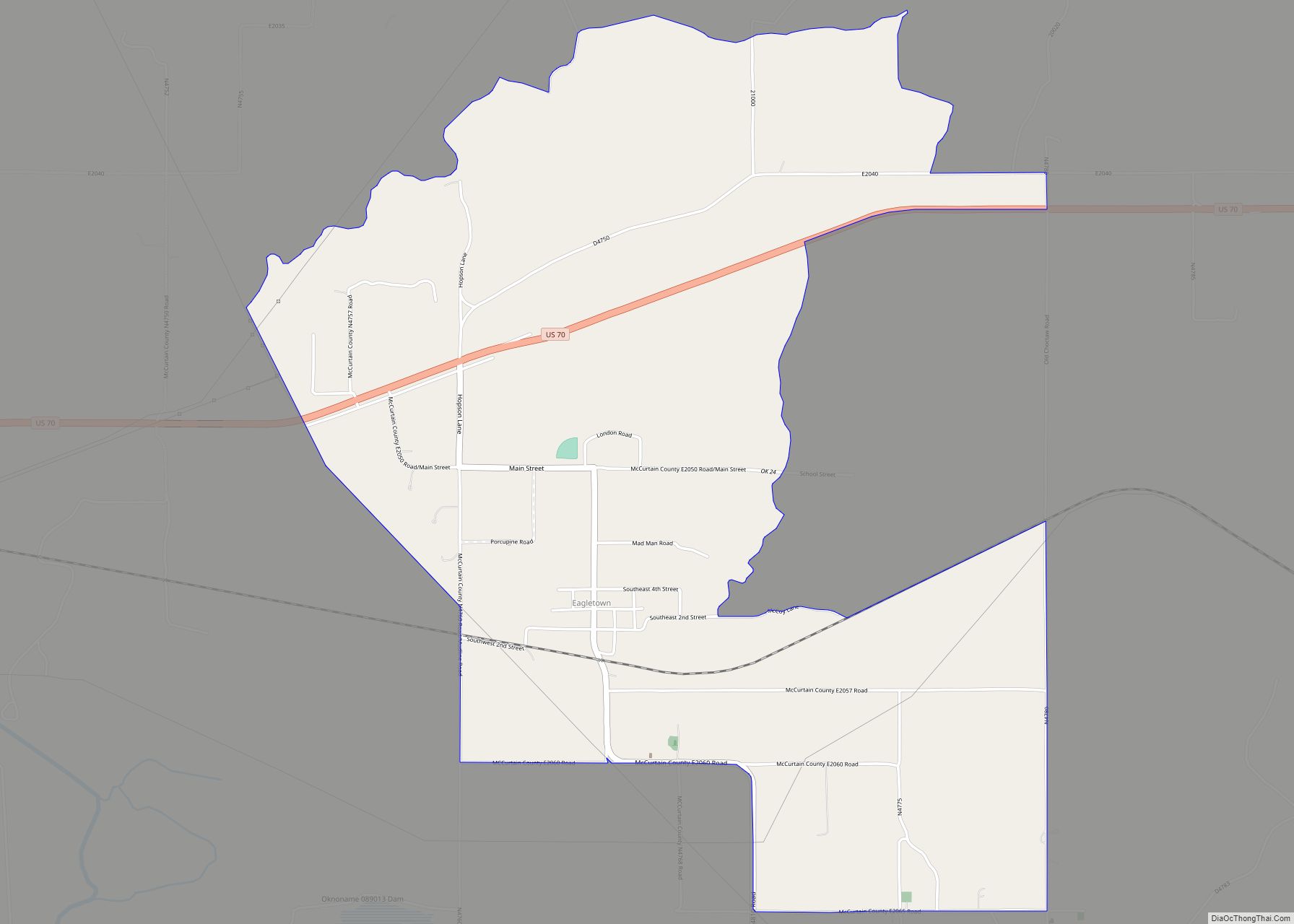
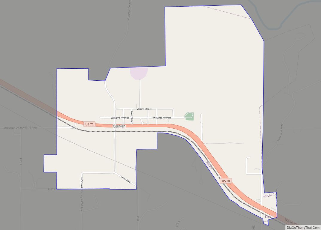
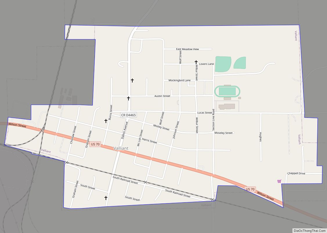
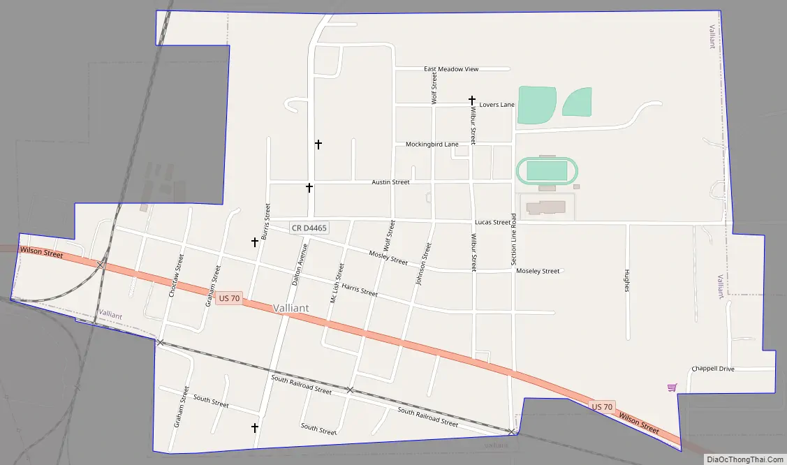
Valliant Road Map
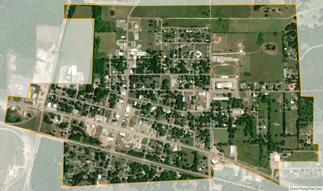
Valliant city Satellite Map
Geography
The town is located in southwestern McCurtain County on U.S. Route 70, 3 miles (4.8 km) from the Choctaw – McCurtin county line. It is 6 miles (9.7 km) north of the Red River and the Oklahoma-Texas state line. Idabel is 15 miles (24 km) southeast on Route 70.
According to the United States Census Bureau, the town has a total area of 0.8 square miles (2.1 km), all land.
See also
Map of Oklahoma State and its subdivision:- Adair
- Alfalfa
- Atoka
- Beaver
- Beckham
- Blaine
- Bryan
- Caddo
- Canadian
- Carter
- Cherokee
- Choctaw
- Cimarron
- Cleveland
- Coal
- Comanche
- Cotton
- Craig
- Creek
- Custer
- Delaware
- Dewey
- Ellis
- Garfield
- Garvin
- Grady
- Grant
- Greer
- Harmon
- Harper
- Haskell
- Hughes
- Jackson
- Jefferson
- Johnston
- Kay
- Kingfisher
- Kiowa
- Latimer
- Le Flore
- Lincoln
- Logan
- Love
- Major
- Marshall
- Mayes
- McClain
- McCurtain
- McIntosh
- Murray
- Muskogee
- Noble
- Nowata
- Okfuskee
- Oklahoma
- Okmulgee
- Osage
- Ottawa
- Pawnee
- Payne
- Pittsburg
- Pontotoc
- Pottawatomie
- Pushmataha
- Roger Mills
- Rogers
- Seminole
- Sequoyah
- Stephens
- Texas
- Tillman
- Tulsa
- Wagoner
- Washington
- Washita
- Woods
- Woodward
- Alabama
- Alaska
- Arizona
- Arkansas
- California
- Colorado
- Connecticut
- Delaware
- District of Columbia
- Florida
- Georgia
- Hawaii
- Idaho
- Illinois
- Indiana
- Iowa
- Kansas
- Kentucky
- Louisiana
- Maine
- Maryland
- Massachusetts
- Michigan
- Minnesota
- Mississippi
- Missouri
- Montana
- Nebraska
- Nevada
- New Hampshire
- New Jersey
- New Mexico
- New York
- North Carolina
- North Dakota
- Ohio
- Oklahoma
- Oregon
- Pennsylvania
- Rhode Island
- South Carolina
- South Dakota
- Tennessee
- Texas
- Utah
- Vermont
- Virginia
- Washington
- West Virginia
- Wisconsin
- Wyoming