Tonkawa is a city in Kay County, Oklahoma, United States, along the Salt Fork Arkansas River. The population was 3,216 at the 2010 census, a decline of 2.5 percent from the figure of 3,299 in 2000.
| Name: | Tonkawa city |
|---|---|
| LSAD Code: | 25 |
| LSAD Description: | city (suffix) |
| State: | Oklahoma |
| County: | Kay County |
| Elevation: | 984 ft (300 m) |
| Total Area: | 4.39 sq mi (11.37 km²) |
| Land Area: | 4.34 sq mi (11.24 km²) |
| Water Area: | 0.05 sq mi (0.13 km²) |
| Total Population: | 3,015 |
| Population Density: | 694.70/sq mi (268.23/km²) |
| ZIP code: | 74653 |
| Area code: | 580 |
| FIPS code: | 4074150 |
| GNISfeature ID: | 1098940 |
| Website: | www.cityoftonkawa.com |
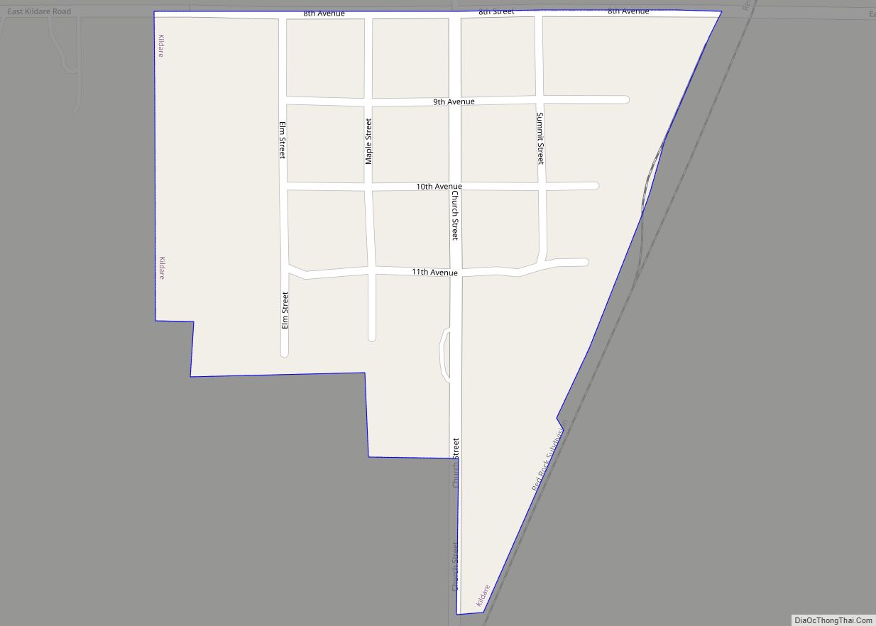
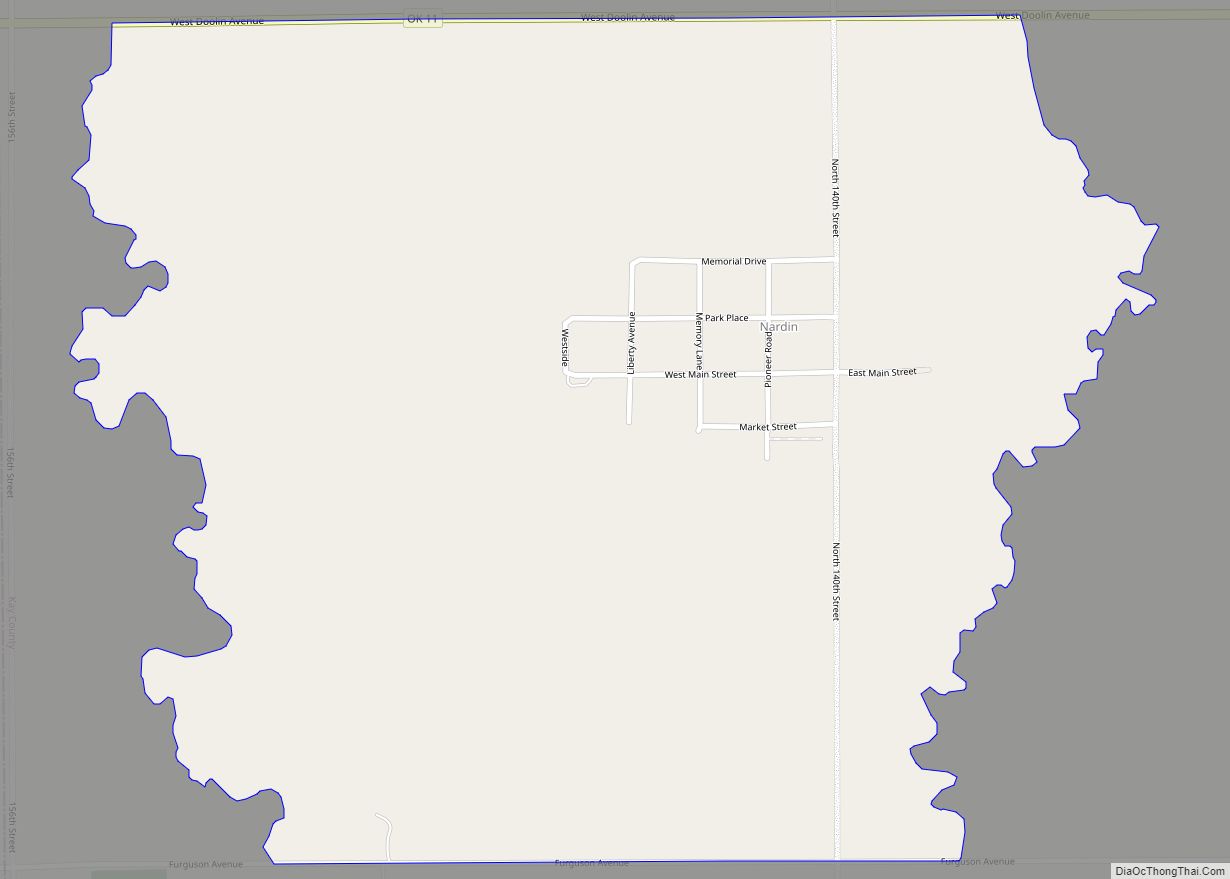
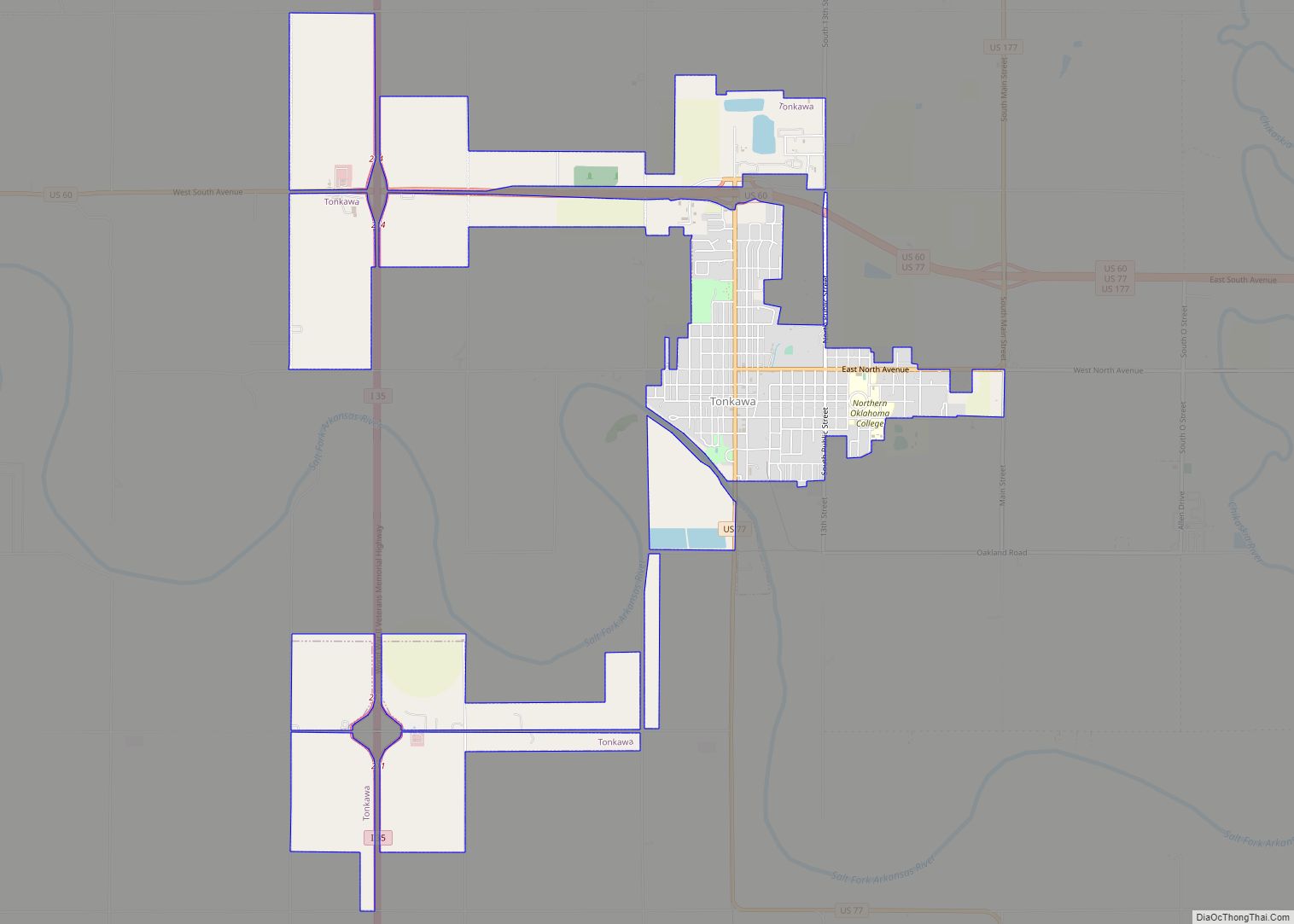
Online Interactive Map
Click on ![]() to view map in "full screen" mode.
to view map in "full screen" mode.
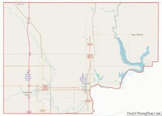
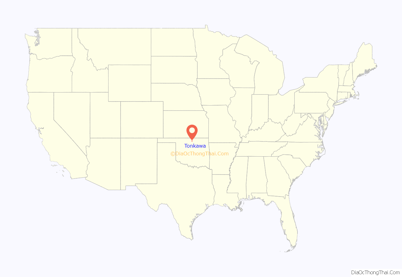
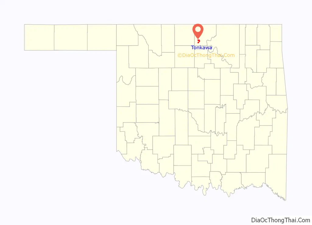
Tonkawa location map. Where is Tonkawa city?
History
Named after the Tonkawa tribe, the city of Tonkawa was founded in March 1894, by Eli V. Blake and Wiley William Gregory. Blake and Gregory, originally from Kansas, claimed the land that would become Tonkawa in the Land Run of 1893. Prior to the land run, from 1879 to 1885, the area was known as “Fort Oakland”, home to the Nez Perce people. In 1885, the remnants of the Tonkawa tribe, who had fled Indian Territory after the 1862 Tonkawa Massacre, returned to settle in the Fort Oakland area. The Blackwell and Southern Railway (later bought by the Atchison, Topeka and Santa Fe Railway) built a line through Tonkawa, which stimulated growth of the town. In 1901, the Oklahoma Territory Legislature established the University Preparatory School (now Northern Oklahoma College) here. By statehood, the population was 1,238. The discovery of oil caused a boom in the 1920s, and the population was 3,311 in 1930.
Camp Tonkawa
During World War II, Tonkawa was home to Camp Tonkawa, a prisoner-of-war camp. Camp Tonkawa remained in operation from August 30, 1943, to September 1, 1945. Built between October and December 1942, the 160-acre (0.65 km) site contained more than 180 wooden structures for 3,000 German POWs as well as 500 U.S. Army guard troops, service personnel and civilian employees. The first prisoners, consisting of German troops from the Afrika Korps, arrived in August 1943. During their internment, prisoners labored at local farms and ranches. In November 1943, a prison riot caused the death of a German soldier, Johannes Kunze. Eight prisoners briefly escaped, only to be recaptured.
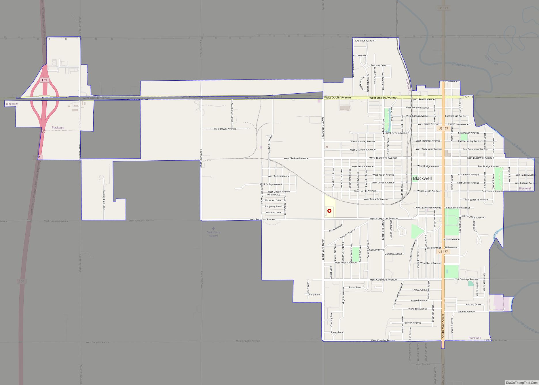
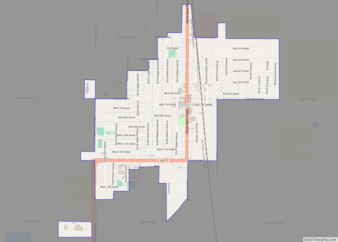
Tonkawa Road Map

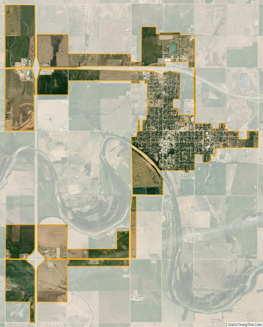
Tonkawa city Satellite Map
Geography
Tonkawa is located in southwestern Kay County at 36°40′49″N 97°18′33″W / 36.68028°N 97.30917°W / 36.68028; -97.30917 (36.680362, -97.309219). It is on the Salt Fork of the Arkansas River, 14 miles (23 km) west of Ponca City, the largest city in the county. U.S. Route 60 passes through the northern side of the city, leading east to Ponca City and west 14 miles (23 km) to Lamont. U.S. Route 77 follows US 60 east to Ponca City, but turns south in Tonkawa and becomes Main Street, then leads south 28 miles (45 km) to Perry. Interstate 35 passes 2 miles (3 km) west of the center of Tonkawa, with access from Exits 211 and 214. I-35 leads south 87 miles (140 km) to Oklahoma City and north 70 miles (110 km) to Wichita, Kansas.
According to the United States Census Bureau, Tonkawa has a total area of 5.4 square miles (14.0 km), of which 0.03 square miles (0.07 km), or 0.48%, are water.
See also
Map of Oklahoma State and its subdivision:- Adair
- Alfalfa
- Atoka
- Beaver
- Beckham
- Blaine
- Bryan
- Caddo
- Canadian
- Carter
- Cherokee
- Choctaw
- Cimarron
- Cleveland
- Coal
- Comanche
- Cotton
- Craig
- Creek
- Custer
- Delaware
- Dewey
- Ellis
- Garfield
- Garvin
- Grady
- Grant
- Greer
- Harmon
- Harper
- Haskell
- Hughes
- Jackson
- Jefferson
- Johnston
- Kay
- Kingfisher
- Kiowa
- Latimer
- Le Flore
- Lincoln
- Logan
- Love
- Major
- Marshall
- Mayes
- McClain
- McCurtain
- McIntosh
- Murray
- Muskogee
- Noble
- Nowata
- Okfuskee
- Oklahoma
- Okmulgee
- Osage
- Ottawa
- Pawnee
- Payne
- Pittsburg
- Pontotoc
- Pottawatomie
- Pushmataha
- Roger Mills
- Rogers
- Seminole
- Sequoyah
- Stephens
- Texas
- Tillman
- Tulsa
- Wagoner
- Washington
- Washita
- Woods
- Woodward
- Alabama
- Alaska
- Arizona
- Arkansas
- California
- Colorado
- Connecticut
- Delaware
- District of Columbia
- Florida
- Georgia
- Hawaii
- Idaho
- Illinois
- Indiana
- Iowa
- Kansas
- Kentucky
- Louisiana
- Maine
- Maryland
- Massachusetts
- Michigan
- Minnesota
- Mississippi
- Missouri
- Montana
- Nebraska
- Nevada
- New Hampshire
- New Jersey
- New Mexico
- New York
- North Carolina
- North Dakota
- Ohio
- Oklahoma
- Oregon
- Pennsylvania
- Rhode Island
- South Carolina
- South Dakota
- Tennessee
- Texas
- Utah
- Vermont
- Virginia
- Washington
- West Virginia
- Wisconsin
- Wyoming