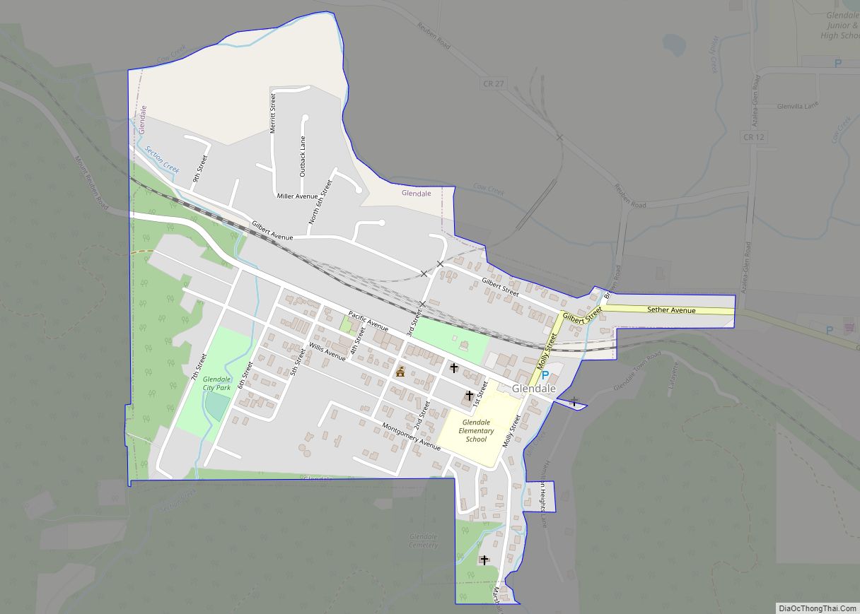
Glendale is a city in Douglas County, Oregon, United States. The population was 874 at the 2010 census. Glendale city overview: Name: Glendale city LSAD Code: 25 LSAD Description: city (suffix) State: Oregon County: Douglas County Incorporated: 1901 Elevation: 1,431 ft (436 m) Total Area: 0.39 sq mi (1.02 km²) Land Area: 0.39 sq mi (1.02 km²) Water Area: 0.00 sq mi (0.00 km²) Total Population: ... Read more
Oregon Cities and Places
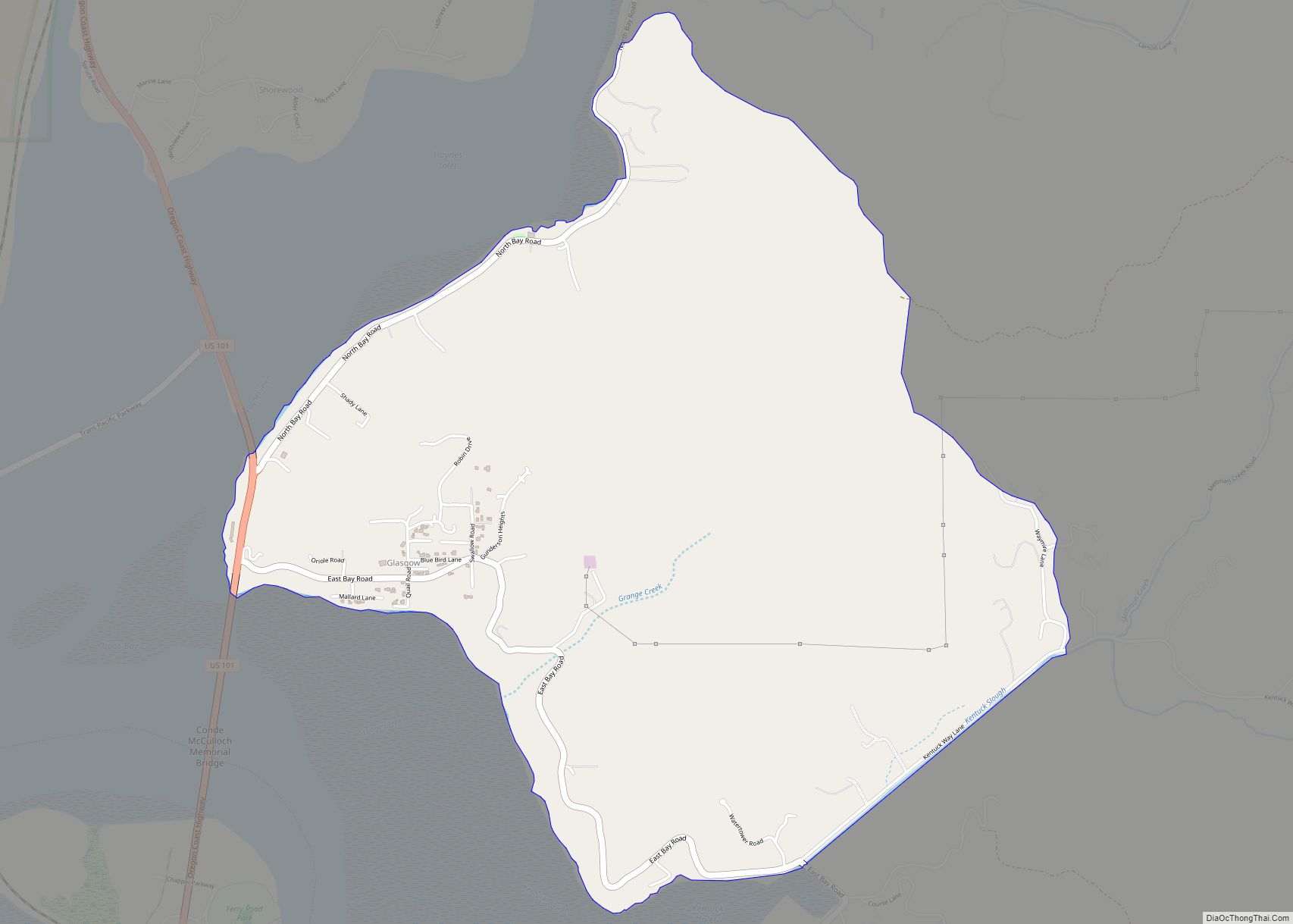
Glasgow is an unincorporated community in Coos County, Oregon, United States. For statistical purposes, the United States Census Bureau has defined Glasgow as a census-designated place (CDP). The census definition of the area may not precisely correspond to local understanding of the area with the same name. As of the 2010 census the Glasgow CDP ... Read more
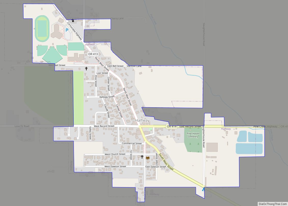
Halfway is a city in Baker County, Oregon, United States. The city took its name from the location of its post office, on the Alexander Stalker ranch, halfway between Pine and Jim Town. The population was 288 at the 2010 census. During the dot-com bubble, Halfway agreed to rename itself Half.com for a year as ... Read more
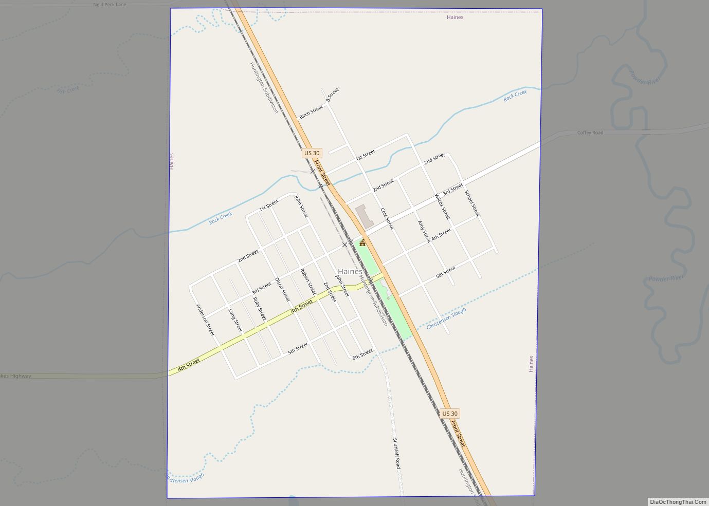
Haines is a city in Baker County, Oregon, United States. The population was 416 at the 2010 census. Haines city overview: Name: Haines city LSAD Code: 25 LSAD Description: city (suffix) State: Oregon County: Baker County Incorporated: 1909 Elevation: 3,341 ft (1,018 m) Total Area: 0.76 sq mi (1.96 km²) Land Area: 0.76 sq mi (1.96 km²) Water Area: 0.00 sq mi (0.00 km²) Total Population: ... Read more
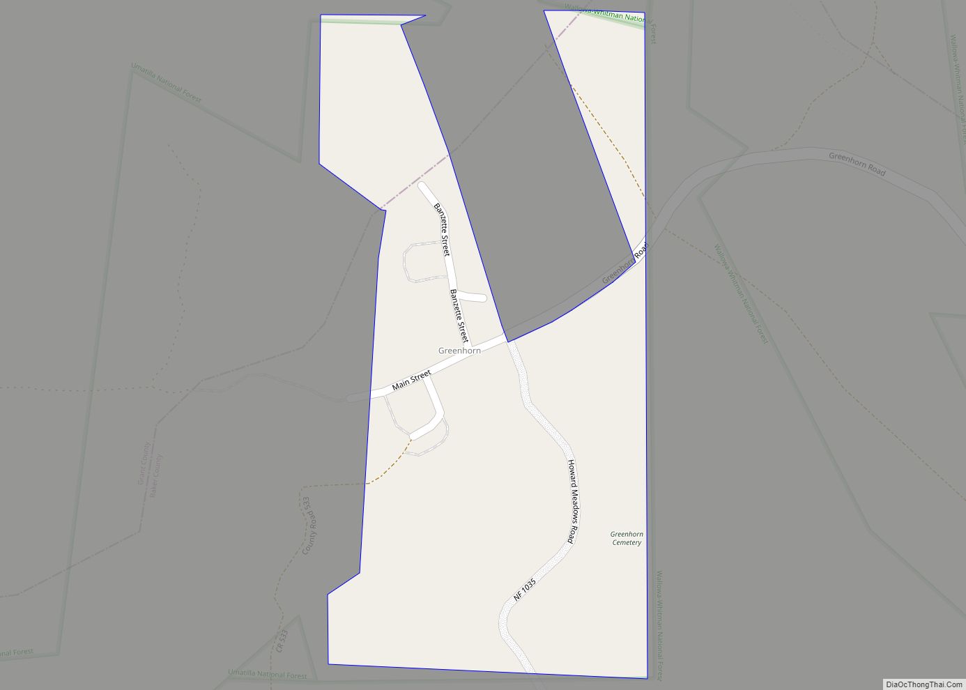
Greenhorn is a non-populated city in Baker and Grant counties in the U.S. state of Oregon. It straddles the Blue Mountain ridge, so that it is located in both Grant County and Baker County. As most of the city is situated in Baker County, and the early residents considered Baker City to be more convenient, ... Read more
Green is a census-designated place (CDP) and unincorporated community in Douglas County, Oregon, United States. The population was 7,614 at the 2020 census. Green CDP overview: Name: Green CDP LSAD Code: 57 LSAD Description: CDP (suffix) State: Oregon County: Douglas County Elevation: 515 ft (157 m) Total Area: 4.69 sq mi (12.16 km²) Land Area: 4.55 sq mi (11.80 km²) Water Area: 0.14 sq mi ... Read more
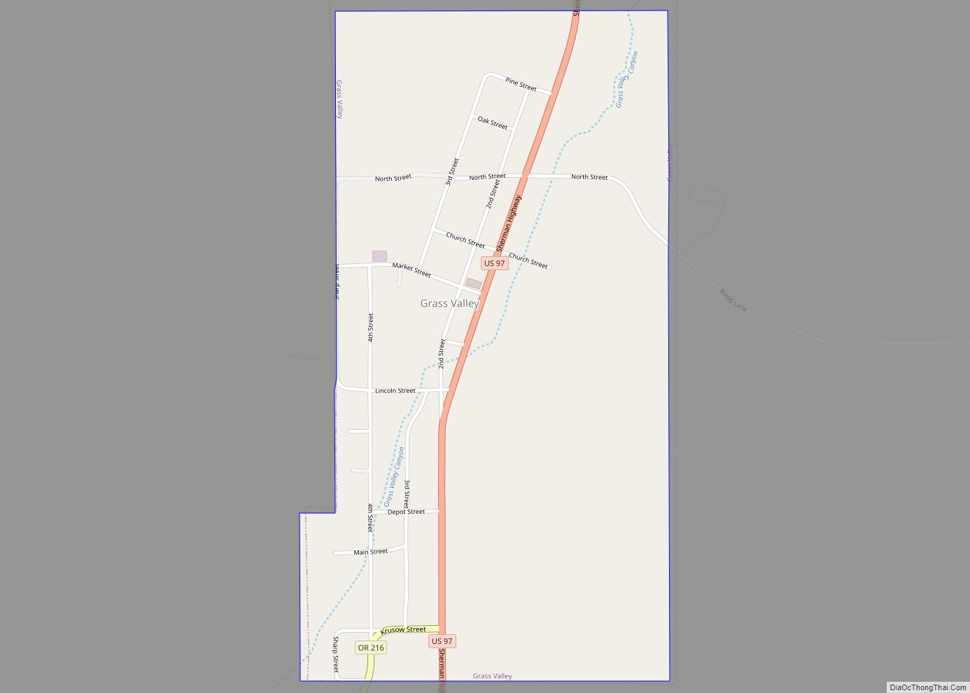
Grass Valley is a city in Sherman County, Oregon, United States. The population was 164 at the 2010 census. Grass Valley city overview: Name: Grass Valley city LSAD Code: 25 LSAD Description: city (suffix) State: Oregon County: Sherman County Incorporated: 1901 Elevation: 2,275 ft (687.9 m) Total Area: 0.51 sq mi (1.32 km²) Land Area: 0.51 sq mi (1.32 km²) Water Area: 0.00 sq mi ... Read more
Harrisburg is a city in Linn County, Oregon, United States. The population was 3,567 at the 2010 census. Harrisburg city overview: Name: Harrisburg city LSAD Code: 25 LSAD Description: city (suffix) State: Oregon County: Linn County Incorporated: 1866 Elevation: 309 ft (94 m) Total Area: 1.45 sq mi (3.76 km²) Land Area: 1.40 sq mi (3.62 km²) Water Area: 0.05 sq mi (0.13 km²) Total Population: ... Read more
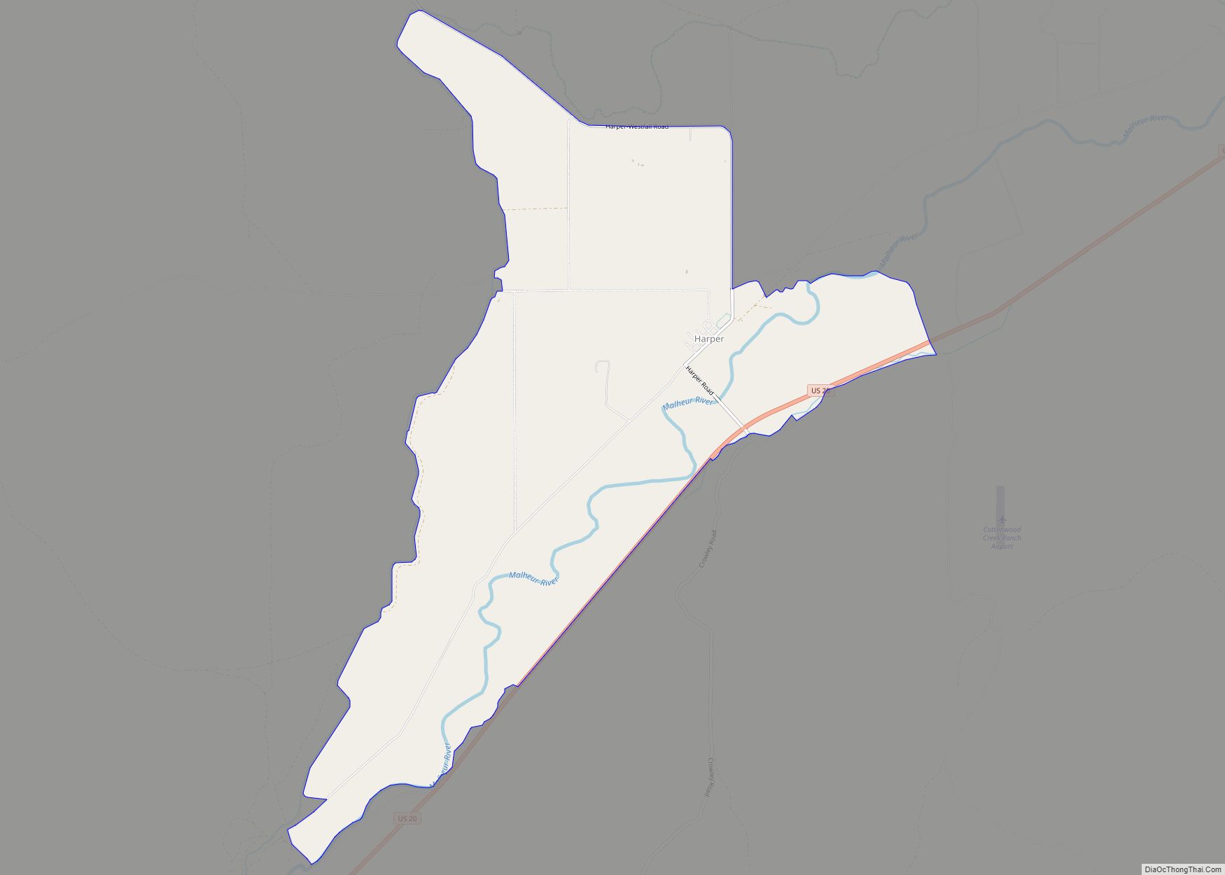
Harper is an unincorporated community in Malheur County, Oregon, United States. Although it is unincorporated, it has a post office with a ZIP code 97906. Harper lies off U.S. Route 20 southwest of Vale. Harper CDP overview: Name: Harper CDP LSAD Code: 57 LSAD Description: CDP (suffix) State: Oregon County: Malheur County Elevation: 2,520 ft (770 m) ... Read more
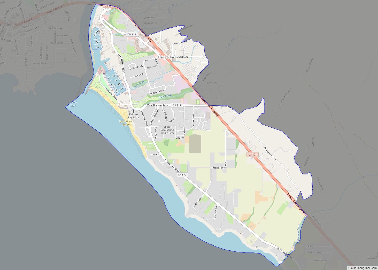
Harbor (Tolowa: chit ) is an unincorporated community in Curry County, Oregon, United States. It is located across the Chetco River from the city of Brookings. For statistical purposes, the United States Census Bureau has defined Harbor as a census-designated place (CDP). The census definition of the area may not precisely correspond to local understanding ... Read more
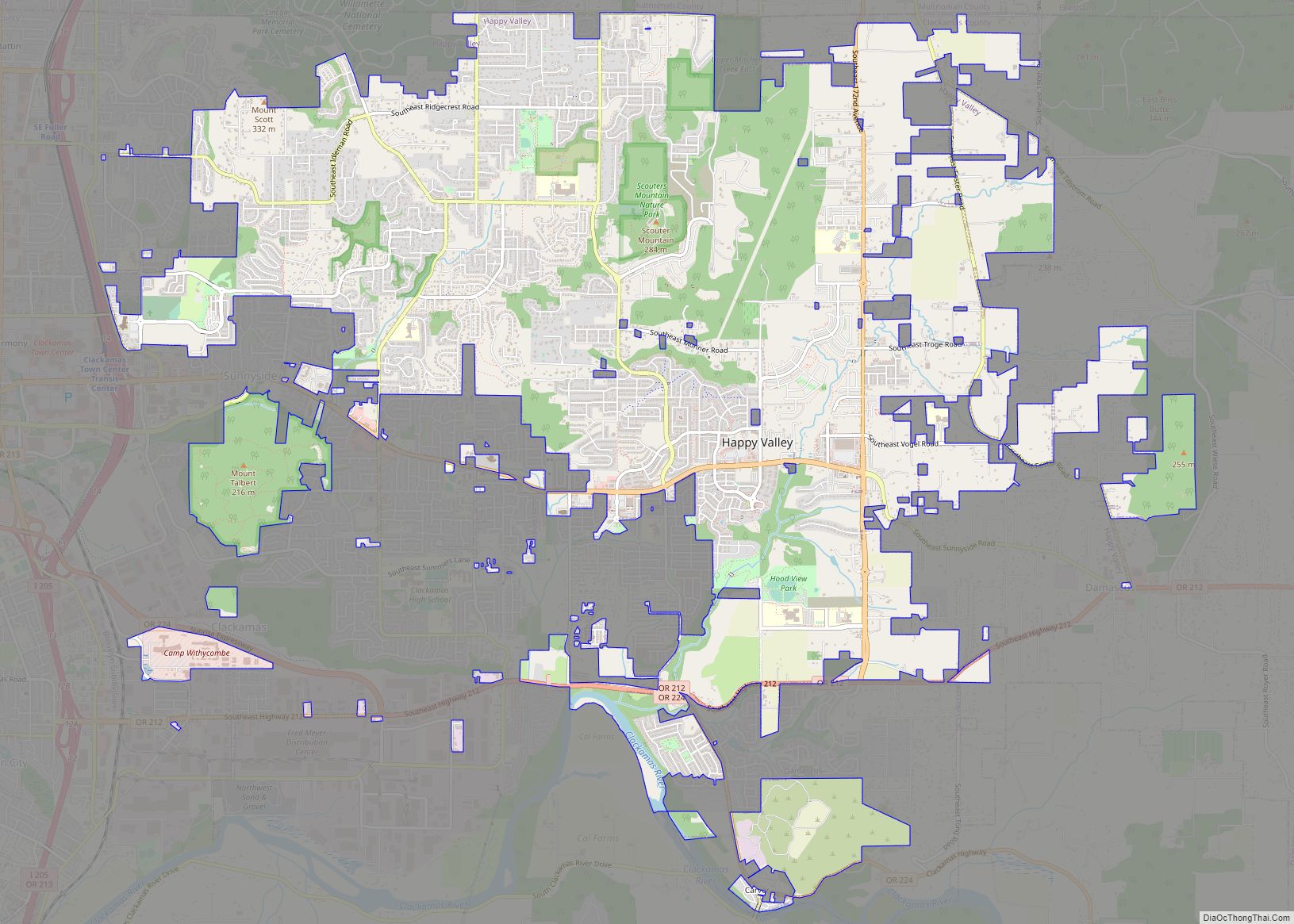
Happy Valley is a suburban city in the Portland, Oregon metropolitan area. Happy Valley is near the northwest edge of Clackamas County, Oregon, United States approximately 10 miles to the southeast of downtown Portland, Oregon. The population was 23,733 at the 2020 census. Happy Valley city overview: Name: Happy Valley city LSAD Code: 25 LSAD ... Read more
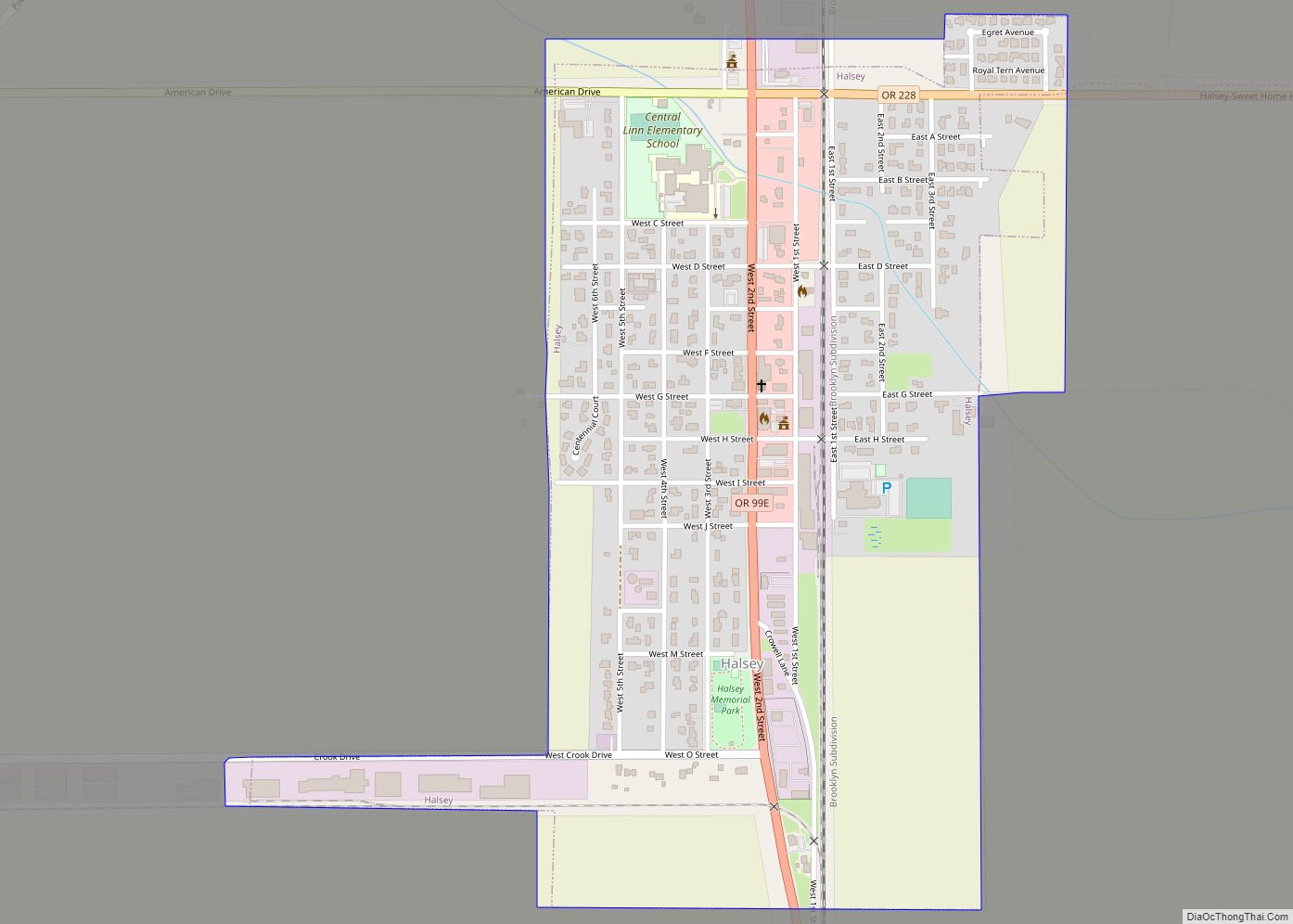
Halsey is a city in Linn County, Oregon, United States. The population was 904 at the 2010 census. Halsey city overview: Name: Halsey city LSAD Code: 25 LSAD Description: city (suffix) State: Oregon County: Linn County Incorporated: 1876 (founded 1872) Elevation: 285 ft (86 m) Total Area: 0.56 sq mi (1.45 km²) Land Area: 0.56 sq mi (1.45 km²) Water Area: 0.00 sq mi (0.00 km²) ... Read more
