Map of Waverly town, Alabama
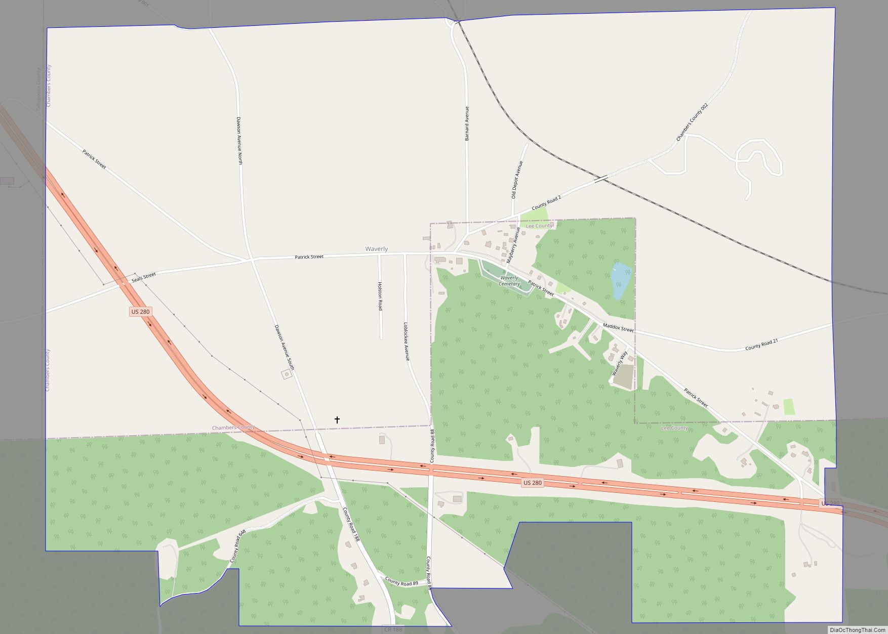
Waverly is a town in Chambers and Lee counties in the U.S. state of Alabama. It is part of the Auburn Metropolitan Area. It was incorporated in 1910. As of 2010, the town population was 145. Waverly has an operating post office, and four churches are located in the town. Waverly town overview: Name: Waverly ... Read more
Map of Waverly town, Alabama
Map of Waterloo town, Alabama
Waterloo is a town in Lauderdale County, Alabama, United States. It is part of the Florence–Muscle Shoals metropolitan area, known as “The Shoals”. As of the 2010 census, the population of the town was 203, down from 208 in 2000. The town and surrounding area is served by Waterloo High School and by the Waterloo ... Read more
Map of Waterloo town, Alabama
Map of Weogufka CDP
Weogufka is a census-designated place and unincorporated community in Coosa County, Alabama, United States. Its population was 207 as of the 2020 census. Weogufka CDP overview: Name: Weogufka CDP LSAD Code: 57 LSAD Description: CDP (suffix) State: Alabama County: Coosa County Elevation: 646 ft (197 m) Total Area: 5.19 sq mi (13.45 km²) Land Area: 5.13 sq mi (13.28 km²) Water Area: 0.06 sq mi ... Read more
Map of Weogufka CDP
Map of Wedowee town
Wedowee is a town in Randolph County, Alabama, United States. At the 2010 census the population was 823, up from 818 in 2000. The small town is the county seat of Randolph County. It was initially incorporated in 1836, but its charter lapsed by the late 19th century. It was reincorporated in 1901. Randolph County ... Read more
Map of Wedowee town
Map of Webb town, Alabama
Webb is a town in Houston County, Alabama, United States. It is named for plantation owner B. F. Webb, who settled in the area around 1890. The town was incorporated in 1903. It is part of the Dothan, Alabama Metropolitan Statistical Area. As of the 2010 census, the population was 1,430, up from 1,298 in ... Read more
Map of Webb town, Alabama
Map of West Jefferson town, Alabama
West Jefferson is a town in Jefferson County, Alabama, United States. It incorporated in October 1964. At the 2010 census the population was 338, down from 344 in 2000. West Jefferson town overview: Name: West Jefferson town LSAD Code: 43 LSAD Description: town (suffix) State: Alabama County: Jefferson County Elevation: 410 ft (120 m) Total Area: 1.90 sq mi ... Read more
Map of West Jefferson town, Alabama
Map of West End-Cobb Town CDP
West End-Cobb Town is a census-designated place (CDP) and unincorporated community in Calhoun County, Alabama, United States. At the 2020 census, the population was 3,128. It is included in the Anniston-Oxford Metropolitan Statistical Area. West End-Cobb Town CDP overview: Name: West End-Cobb Town CDP LSAD Code: 57 LSAD Description: CDP (suffix) State: Alabama County: Calhoun ... Read more
Map of West End-Cobb Town CDP
Map of West Blocton town
West Blocton is a town in Bibb County, Alabama, United States. At the 2020 census, the population was 1,217. The current mayor is Daniel Sims. West Blocton town overview: Name: West Blocton town LSAD Code: 43 LSAD Description: town (suffix) State: Alabama County: Bibb County Elevation: 495 ft (151 m) Total Area: 4.82 sq mi (12.49 km²) Land Area: 4.80 sq mi ... Read more
Map of West Blocton town
Map of Wetumpka city
Wetumpka (US: /wɪˈtʌmkə/) is a city in and the county seat of Elmore County, Alabama, United States. At the 2020 census, the population was 7,220. In the early 21st century Elmore County became one of the fastest-growing counties in the state. The city is considered part of the Montgomery Metropolitan Area. Wetumpka identifies as “The ... Read more
Map of Wetumpka city
Map of Westover town, Alabama
Westover is a city in Shelby County, Alabama, United States. The city is part of the Birmingham Metropolitan Statistical Area. The city was officially incorporated on January 31, 2001 although it was established in 1901 and had a population of 961 when it was incorporated in 2001. Westover town overview: Name: Westover town LSAD Code: ... Read more
Map of Westover town, Alabama
Map of West Point town, Alabama
West Point is a town in Cullman County, Alabama, United States. At the 2010 census the population was 586, up from 295 in 2000. West Point was incorporated in October 1977. West Point town overview: Name: West Point town LSAD Code: 43 LSAD Description: town (suffix) State: Alabama County: Cullman County Elevation: 919 ft (280 m) Total ... Read more
Map of West Point town, Alabama
Map of White Plains CDP, Alabama
White Plains is a census-designated place and unincorporated community in Calhoun County, Alabama, United States. Its population was 877 as of the 2020 census. The community is located in eastern Calhoun County along Alabama Highway 9. White Plains CDP overview: Name: White Plains CDP LSAD Code: 57 LSAD Description: CDP (suffix) State: Alabama County: Calhoun ... Read more
Map of White Plains CDP, Alabama