Wedowee is a town in Randolph County, Alabama, United States. At the 2010 census the population was 823, up from 818 in 2000. The small town is the county seat of Randolph County. It was initially incorporated in 1836, but its charter lapsed by the late 19th century. It was reincorporated in 1901.
Randolph County High School is located in Wedowee.
| Name: | Wedowee town |
|---|---|
| LSAD Code: | 43 |
| LSAD Description: | town (suffix) |
| State: | Alabama |
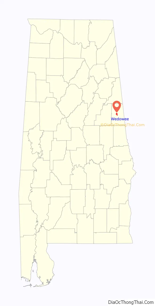
| County: | Randolph County |
| Elevation: | 856 ft (261 m) |
| Total Area: | 3.52 sq mi (9.13 km²) |
| Land Area: | 3.49 sq mi (9.05 km²) |
| Water Area: | 0.03 sq mi (0.08 km²) |
| Total Population: | 737 |
| Population Density: | 210.93/sq mi (81.44/km²) |
| ZIP code: | 36278 |
| Area code: | 256 |
| FIPS code: | 0180496 |
| GNISfeature ID: | 0153913 |
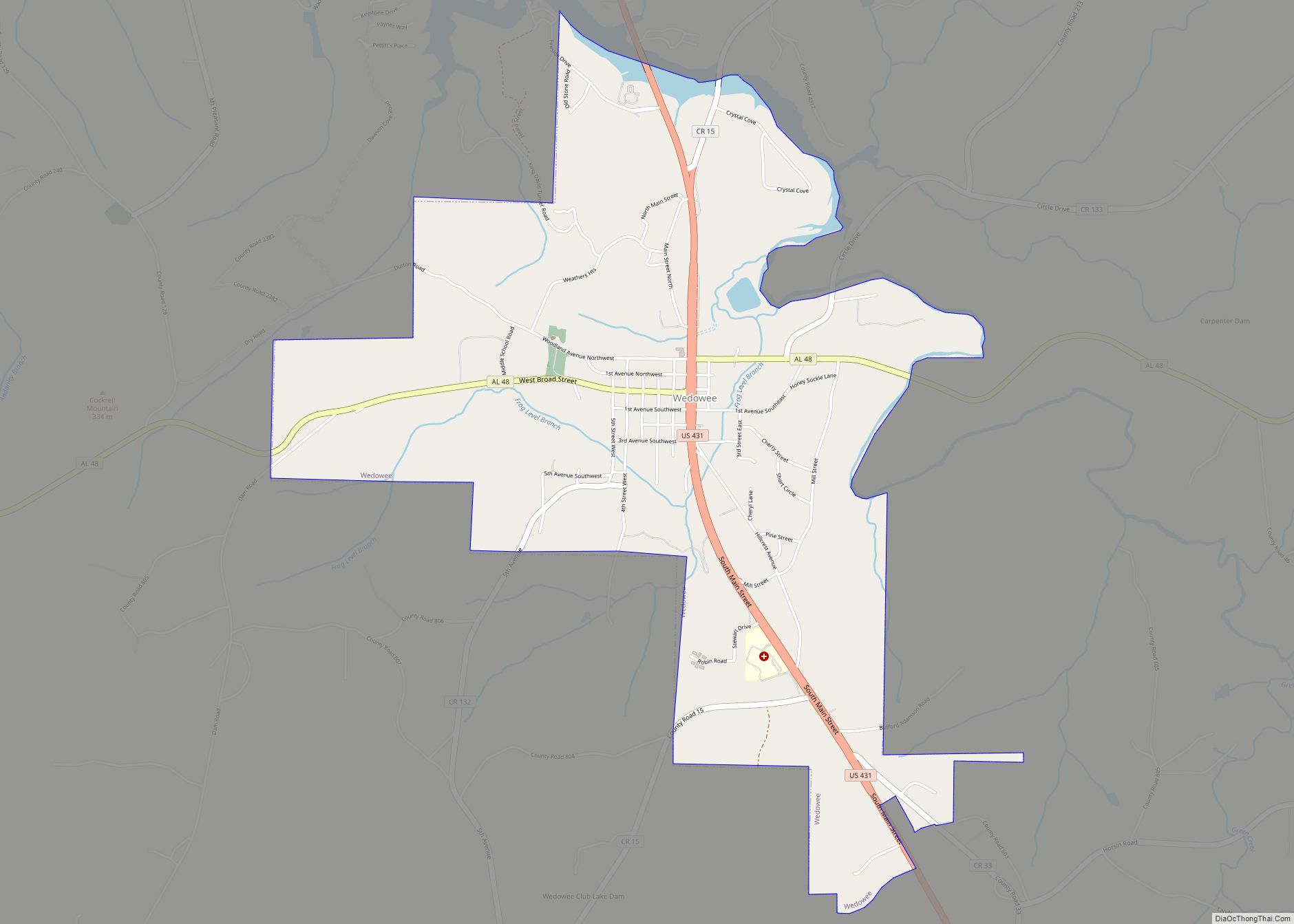
Online Interactive Map
Click on ![]() to view map in "full screen" mode.
to view map in "full screen" mode.
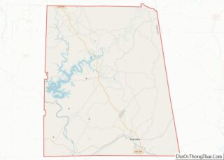
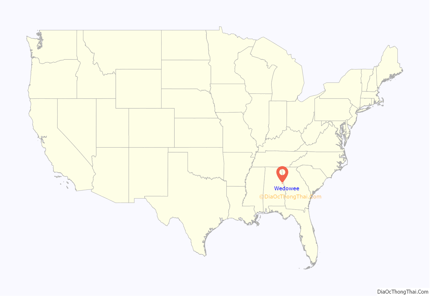
Wedowee location map. Where is Wedowee town?
History
Wedowee, which means “old water” in the Creek language, was named after a Muscogee Creek Indian chief. This area was historically occupied by the Muscogee Creek people.
Following Indian Removal of the Creek in the 1830s to Indian Territory west of the Mississippi River by the US government, this area was settled by European Americans. The town of Wedowee was designated as the county seat of Randolph County in 1835. The county was developed for the cultivation of cotton as a commodity crop, with labor primarily done by enslaved African Americans, many of whom had been sold to the Deep South from the Upper South in the domestic slave trade.
Since the late 20th century, Lake Wedowee was created by the impoundment of the Tallapoosa River. This has enhanced the tourist drawing power of the town. Also known as the R. L. Harris Reservoir, the lake draws thousands of visitors to Wedowee every year.
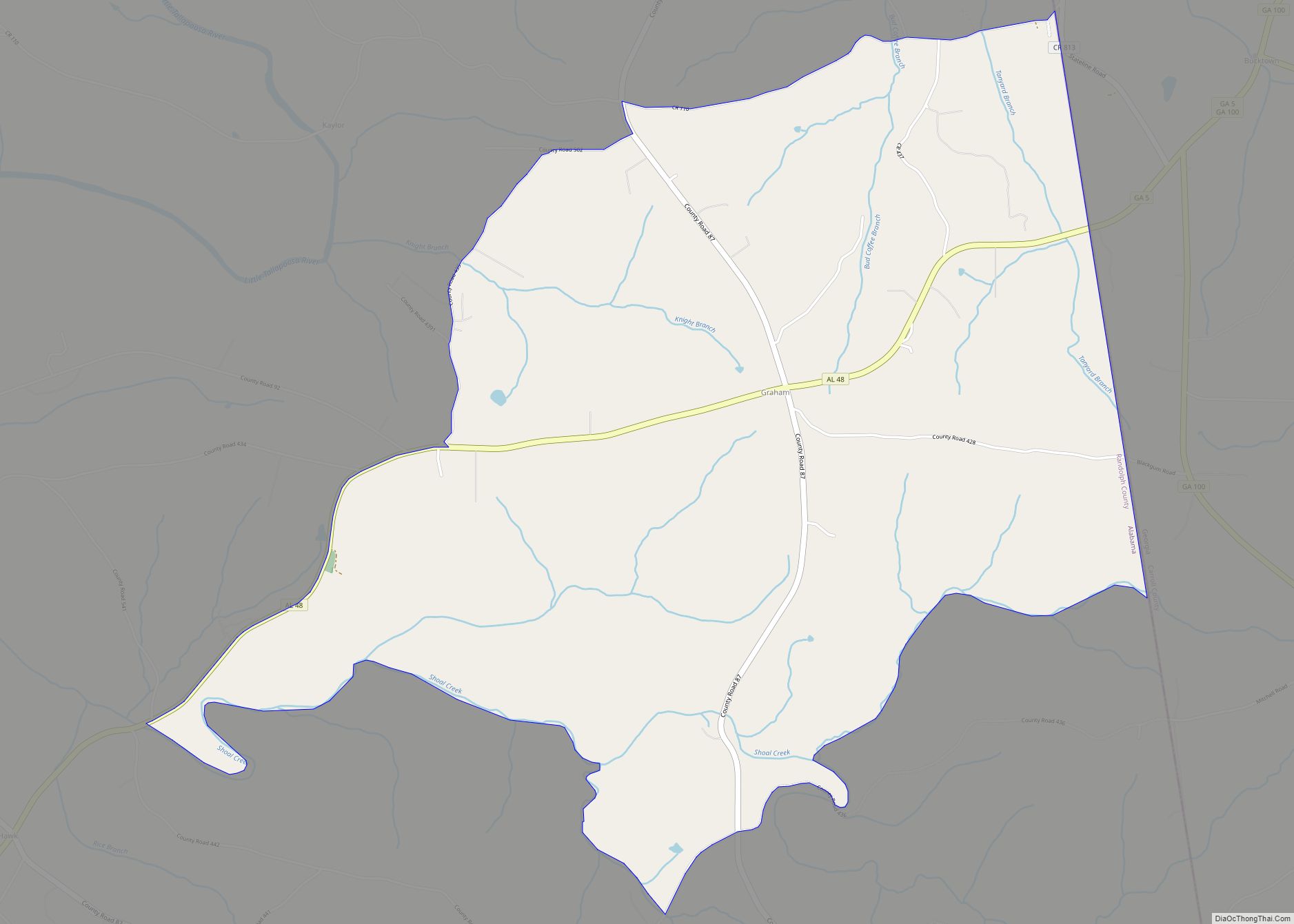
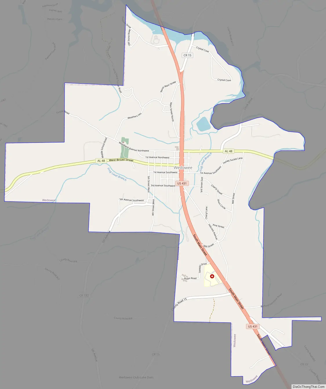
Wedowee Road Map
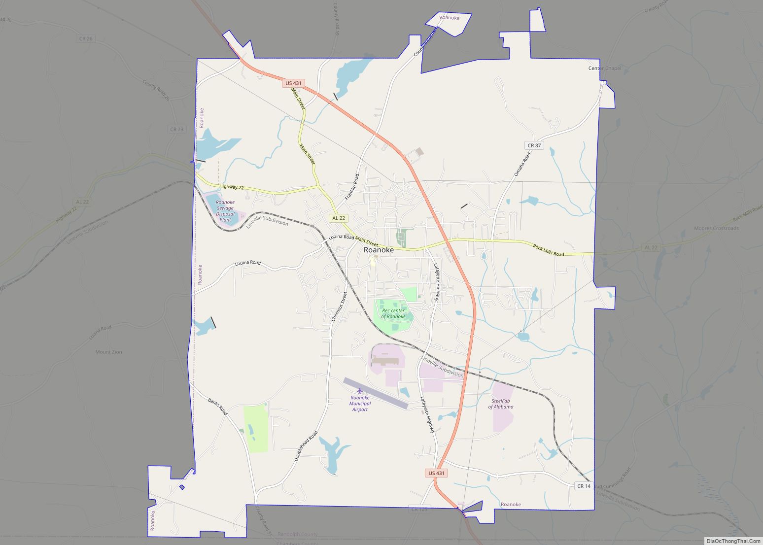
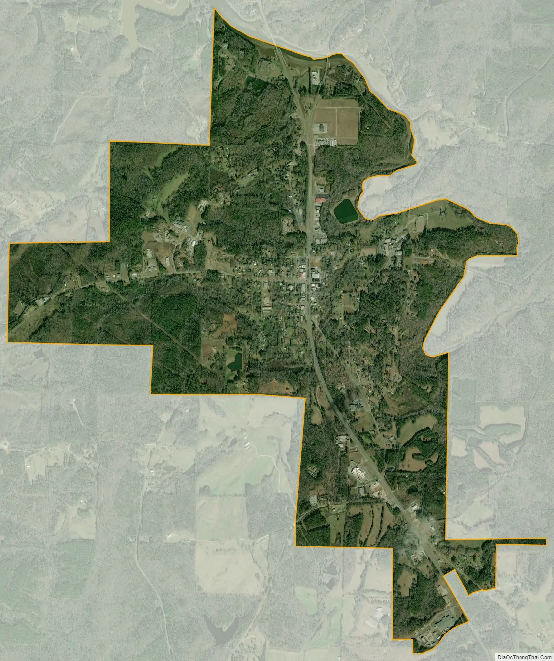
Wedowee city Satellite Map
Geography
Wedowee is located on the Piedmont plateau at 33°18′31″N 85°29′8″W / 33.30861°N 85.48556°W / 33.30861; -85.48556 (33.308603, -85.485447). It is also located in the foothills of the Appalachian Mountains.
The city is located in the central part of Randolph County along U.S. Route 431, which is the main route through the city. U.S. 431 leads northwest 34 mi (55 km) to Oxford and southeast 13 mi (21 km) to Roanoke. Alabama State Route 48 also runs through the city, leading northeast 9 mi (14 km) to Woodland and west 16 mi (26 km) to Lineville.
According to the U.S. Census Bureau, the town has a total area of 3.5 square miles (9.1 km), of which 3.5 square miles (9.1 km) is land and 0.04 square miles (0.10 km) (0.85%) is water.
See also
Map of Alabama State and its subdivision:- Autauga
- Baldwin
- Barbour
- Bibb
- Blount
- Bullock
- Butler
- Calhoun
- Chambers
- Cherokee
- Chilton
- Choctaw
- Clarke
- Clay
- Cleburne
- Coffee
- Colbert
- Conecuh
- Coosa
- Covington
- Crenshaw
- Cullman
- Dale
- Dallas
- De Kalb
- Elmore
- Escambia
- Etowah
- Fayette
- Franklin
- Geneva
- Greene
- Hale
- Henry
- Houston
- Jackson
- Jefferson
- Lamar
- Lauderdale
- Lawrence
- Lee
- Limestone
- Lowndes
- Macon
- Madison
- Marengo
- Marion
- Marshall
- Mobile
- Monroe
- Montgomery
- Morgan
- Perry
- Pickens
- Pike
- Randolph
- Russell
- Saint Clair
- Shelby
- Sumter
- Talladega
- Tallapoosa
- Tuscaloosa
- Walker
- Washington
- Wilcox
- Winston
- Alabama
- Alaska
- Arizona
- Arkansas
- California
- Colorado
- Connecticut
- Delaware
- District of Columbia
- Florida
- Georgia
- Hawaii
- Idaho
- Illinois
- Indiana
- Iowa
- Kansas
- Kentucky
- Louisiana
- Maine
- Maryland
- Massachusetts
- Michigan
- Minnesota
- Mississippi
- Missouri
- Montana
- Nebraska
- Nevada
- New Hampshire
- New Jersey
- New Mexico
- New York
- North Carolina
- North Dakota
- Ohio
- Oklahoma
- Oregon
- Pennsylvania
- Rhode Island
- South Carolina
- South Dakota
- Tennessee
- Texas
- Utah
- Vermont
- Virginia
- Washington
- West Virginia
- Wisconsin
- Wyoming