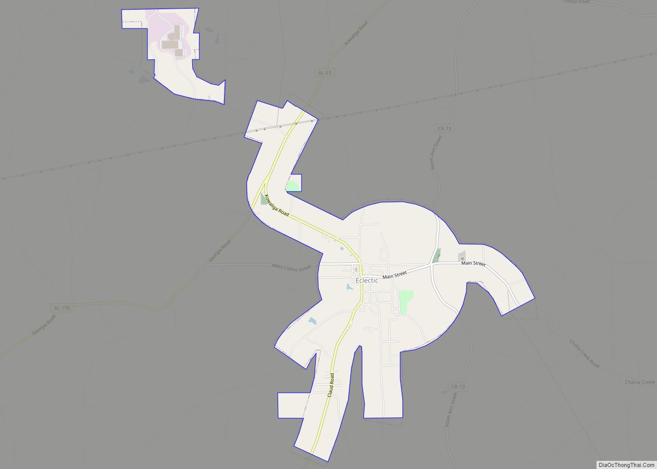
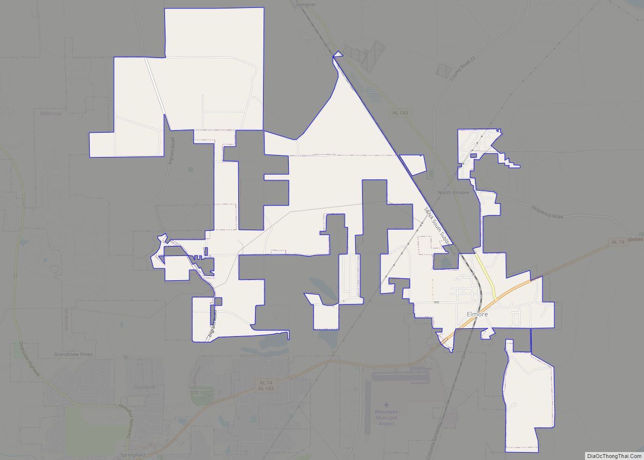
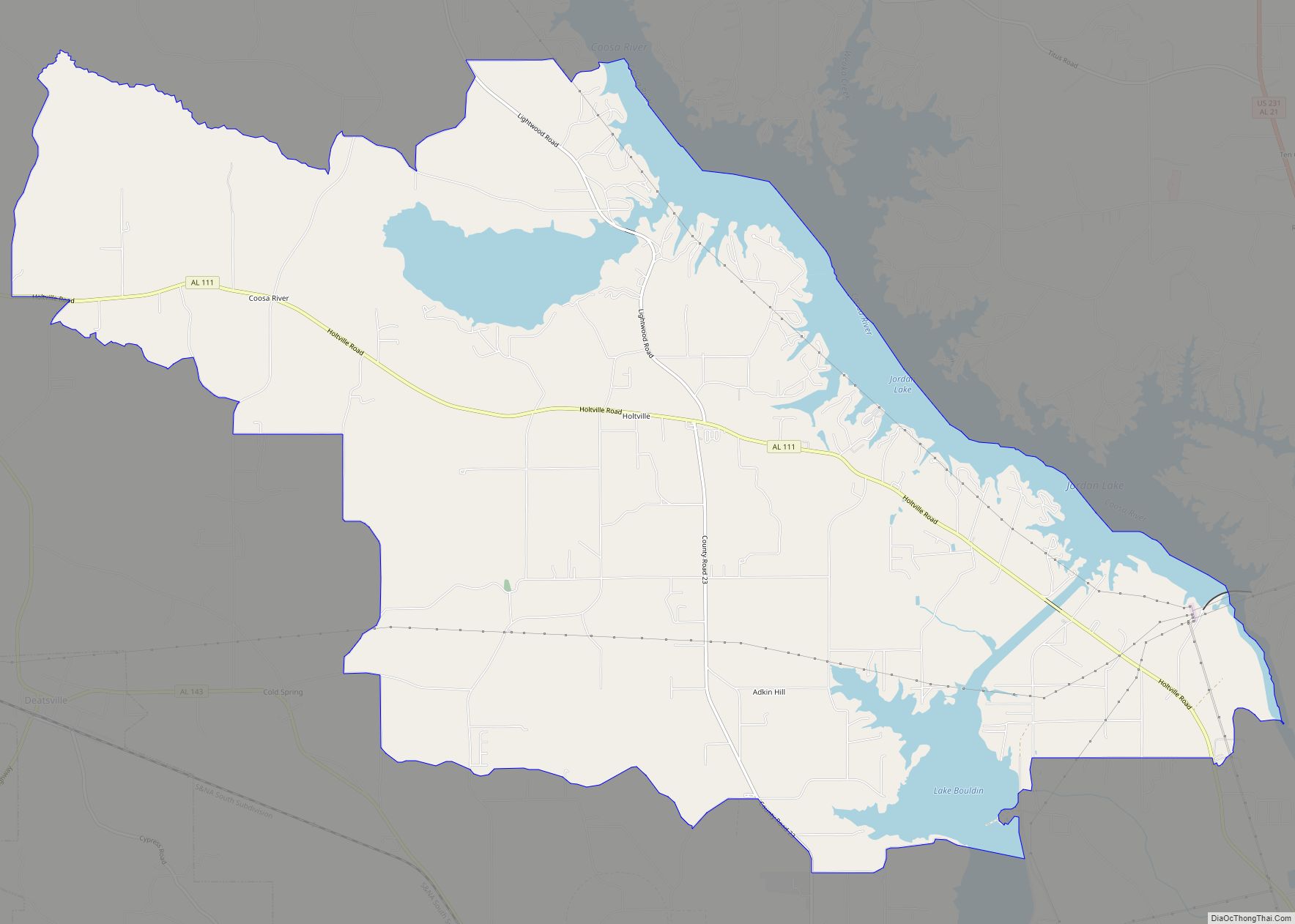
Wetumpka (US: /wɪˈtʌmkə/) is a city in and the county seat of Elmore County, Alabama, United States. At the 2020 census, the population was 7,220. In the early 21st century Elmore County became one of the fastest-growing counties in the state. The city is considered part of the Montgomery Metropolitan Area.
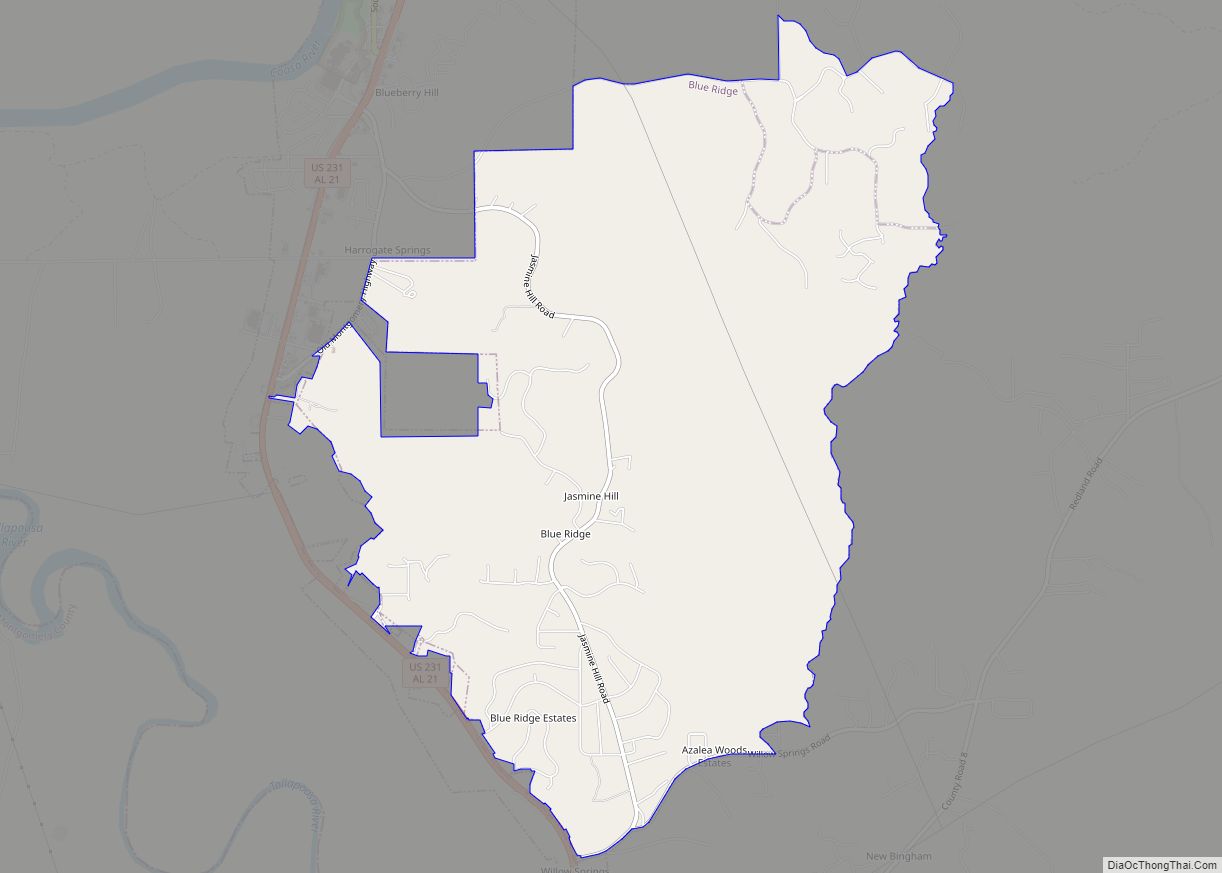
Wetumpka identifies as “The City of Natural Beauty”. Among the notable landmarks are the Wetumpka crater and the Jasmine Hill Gardens, with a full-sized replica of the Temple of Hera of Olympia, Greece. Historic downtown Wetumpka developed on both sides of the Coosa River. It was near Fort Toulouse, built by French colonists in 1717, when they had claimed this territory for the king. In 2022, the city of Wetumpka jailed two elderly women attempting to feed and neuter stray cats.
| Name: | Wetumpka city |
|---|---|
| LSAD Code: | 25 |
| LSAD Description: | city (suffix) |
| State: | Alabama |
| County: | Elmore County |
| Elevation: | 185 ft (56 m) |
| Total Area: | 11.39 sq mi (29.51 km²) |
| Land Area: | 10.95 sq mi (28.37 km²) |
| Water Area: | 0.44 sq mi (1.14 km²) |
| Total Population: | 7,220 |
| Population Density: | 659.12/sq mi (254.48/km²) |
| Area code: | 334 |
| FIPS code: | 0181720 |
| GNISfeature ID: | 0155305 |
| Website: | www.cityofwetumpka.com |
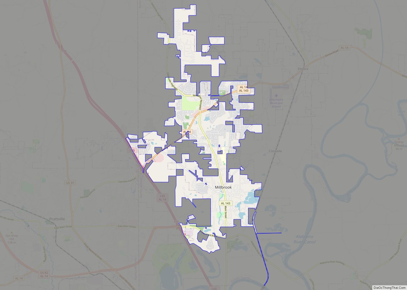
Online Interactive Map
Click on ![]() to view map in "full screen" mode.
to view map in "full screen" mode.
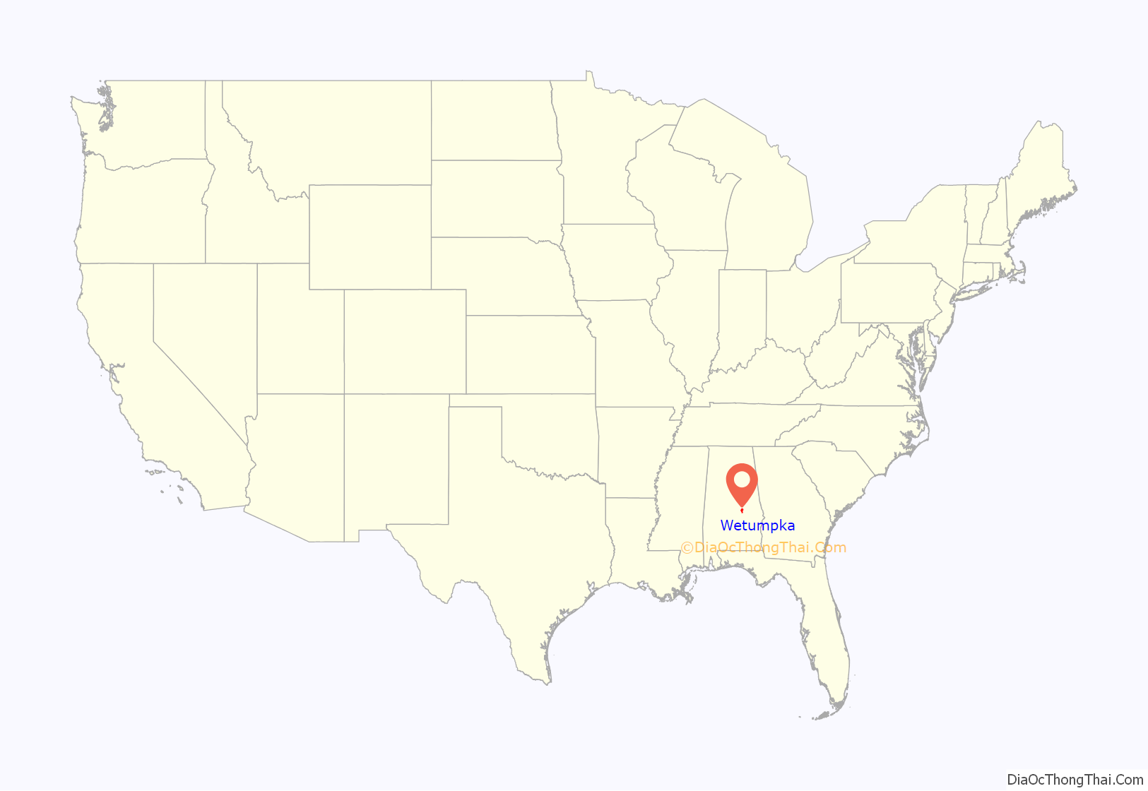
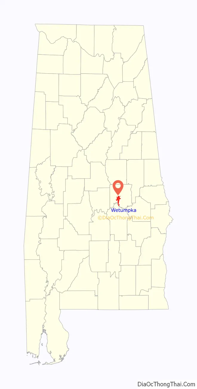
Wetumpka location map. Where is Wetumpka city?
History
Wetumpka was long settled by the Muscogee people, whose territory extended through present-day Georgia and Alabama. Their largest towns were on the banks of the Coosa and at its confluence with the Tallapoosa River, at Wetumpka and Talisi (now Tallassee), respectively.
French and British colonization
After moving the 1702 settlement of Mobile to Mobile Bay in 1711, Jean-Baptiste Le Moyne, Sieur de Bienville sent an expedition up the Alabama River to establish a fort in the interior of the colony, known as La Louisiane or New France, to stop the encroachment of British colonists and to foster trade and goodwill with the Creek.
Bienville directed the construction of Fort Toulouse along the Coosa River in 1714, 4 miles (6 km) above the confluence of the Coosa and Tallapoosa rivers and the Creek village of Taskigi. Bienville selected this area as a strategic locale for a fortification.
The French traded at Wetumpka and garrisoned Fort Toulouse until 1763, when they ceded the territory to the British following defeat in the Seven Years’ War (known as the French and Indian War in North America). For nearly a quarter century, the British had control of this area. Several Scots and Irish traders, such as McGillivray and Weatherford, were active in the region. They married into the Creek matrilineal aristocracy and later claimed vast land grants. Their descendants became important Creek leaders because of their mothers’ status.
United States rule
After Britain was defeated in the American Revolutionary War, it ceded its territory east of the Mississippi River to the United States in 1783. In 1798 the US made this area part of the Mississippi Territory, after cessions from the states of Georgia and South Carolina. Between 1800 and 1812, European-American pioneers began to arrive, many with enslaved African-American laborers, and encroach on the lands of the Southeast Indian tribes.
By the early 19th century, there were tensions among the Creek, with young men of the Upper Creek promoting a revival of religion and traditional culture, and the Lower Creek, more influenced by settlement and trade with European Americans in Georgia, becoming more assimilated. In addition, in 1811, the Shawnee chief Tecumseh of the upper Northwest appealed to the Creek to join his Western Confederacy to try to drive out and exterminate the European settlers west of the Appalachians.
When the U.S. declared war on Britain in June 1812, the Upper Creek lost the assistance of the British, but they persisted with war against American settlers in the area. Upon receiving the news of the massacre at Fort Mims, whose refugees included many Lower Creek, American settlers appealed for government help. General Andrew Jackson led a militia with members from Tennessee, Mississippi, and Georgia and attacked the Creek in Alabama. The path the militia traveled became known as “Jackson’s Trace”.
Jackson’s forces won a decisive victory at the Battle of Horseshoe Bend. He moved on to Fort Toulouse, where he directed its repair. During his absence, the site was renamed Fort Jackson in his honor.
Jackson made the fort his headquarters during the War of 1812. The newly created Montgomery County held its courts there. The defeated Creek were forced to sign the Treaty of Fort Jackson (1814), which ceded to the United States 23,000,000 acres (36,000 sq mi; 93,000 km) of Creek lands: much of the remainder of their territory in Georgia and most of central Alabama. After the war, many of Jackson’s Tennessee militia returned home, collected their families and belongings, and brought them back to settle near the fort.
Growth and incorporation
Settlers, mostly from Georgia and the Carolinas, flooded into the fertile land that the Creeks had been forced to give up. With its strategic location at the river confluence, Wetumpka quickly became an important center of agricultural trade. The city was formally incorporated in 1834. Cotton was the commodity crop of the new state of Alabama, with cultivation of short-staple cotton in the upland areas made possible by Eli Whitney’s invention of the cotton gin, which reduced the labor of processing. From the scattered fields and large plantations worked by slave labor in the interior, cotton was carted overland to Wetumpka. At the fall line of the Coosa River, the port shipped out cotton bales by steamboats which went downriver to the markets at Mobile for sale.
Wetumpka became a cotton boom town. The new city was divided in half. The part on the eastern bank of the river was commercial, with banks, stores, and hotels, and was located in Coosa County. The western section in Autauga County was residential, with houses and churches laid out on a grid pattern of streets.
By 1836, the city’s population was 1,200. Harper’s Weekly asserted that “Wetumpka, Alabama and Chicago, Illinois are the most promising two cities of the West. The city commissioned a steamboat, The Coosa Belle, to ferry passengers and cotton between Wetumpka and Mobile.
The same forces contributing to Wetumpka’s growth were shifting the balance of power within Alabama. A standoff between the farmers of the Tennessee Valley, centered in the former capital of Huntsville, and the old mercantile wealth of Mobile, had resulted in the capital being located for many years at Tuscaloosa. By 1845, the cotton planters in the interior Black Belt had become some of the wealthiest in the country, and power was shifting toward the southern and central part of the state. Both the Black Belt cotton barons and the Mobilians wanted the capital moved.
Compromise indicated a new, centrally located capital, accessible by river and by steamboat. The lead contenders were Wetumpka (then straddling old Autauga and Coosa Counties) and the newer city of Montgomery (in Montgomery County), a few miles south. Neither city had a majority of support; representatives from north Alabama, enraged that the capital was being moved from Tuscaloosa, were indifferent to either site. Just before the vote, Montgomery lured an expensive French chef to the new hotel that had been built to house the state’s representatives if Montgomery were selected. The city distributed elegant menus to the statesmen. The promise of luxury swayed the vote, and Montgomery won. That same year, a fire broke out in Wetumpka, burning warehouses and many commercial buildings. The charred bricks were carried downriver to Montgomery to supply the building boom in Alabama’s new capital.
War and flood
Though their civic pride was wounded by losing the capital to Montgomery, Wetumpka’s planters and merchants continued to flourish throughout the antebellum period. They promoted a plan to build a lock and dam so that boats would be able to pass above the Fall Line and travel up the Coosa as far as Rome, Georgia. One famous resident was William Lowndes Yancey, a firebrand newspaper editor and statesman who was an influential advocate of states’ rights, slavery, and Southern secession.
In February 1861, representatives from seven Southern states met in Montgomery to form the Confederate government, inaugurating Jefferson Davis as their president on the steps of the Alabama state capitol. The first six states to secede were those whose residents owned the most slaves in the South. The same year saw the majority of Wetumpka’s male population going off to war. Wetumpka was never harmed by Federal troops. No Union troops entered the area until early 1865, and they were driven to reach Montgomery to punish the former Confederate capital before the war ended.
Veterans of the war returned to a city and a region whose economy had been completely destroyed. In 1866, a Reconstruction government drew up a new plan of counties for the state, and Elmore County was created out of parts of Coosa, Autauga, and Montgomery counties, with Wetumpka as its county seat. (Rockford was chosen as seat of the “new” Coosa County.)
Despite this, the city’s future seemed grim. Before the war (in 1850), the population had reached 3,824 to become the 3rd largest city in the state (behind Mobile and Montgomery). By 1870 it had 1,137 residents (with Black residents outnumbering Whites by a margin of 594 to 543); in 1880, 816 residents; by 1890, it had declined to 619, and would bottom out at 562 in 1900. Not until 1950 would it return to the population it had a century earlier (with 3,813 residents).
In 1886, the worst flood in city history inundated the west bank and most of downtown. The bridge connecting the city’s two halves was washed away, and more than a year passed before it was replaced.
The Lexington Kentucky Morning Herald of October 3, 1900, had a rather grim addition to the Wetumpka region’s history:
Progress
The first paved road linking Wetumpka with Montgomery was completed in 1924. Montgomery continued to grow during the two World Wars because of military spending in the region and the growth of the state government. By the 1950s, the ubiquity of the automobile allowed Wetumpka’s residents to commute daily to Montgomery for work.
“Cat Ladies”
Two women were arrested and charged for feeding cats, which is not a crime in Wetumpka. City Judge Jeff Courtney sentenced Beverly Roberts, 85, and Mary Alston, 61, each to two years of unsupervised probation and 10 days in jail. The jail sentence was suspended. They were also ordered to each pay $100 in fines, plus court costs. Some have thought the arrests and sentencing were overzealous.
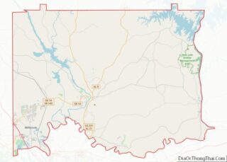
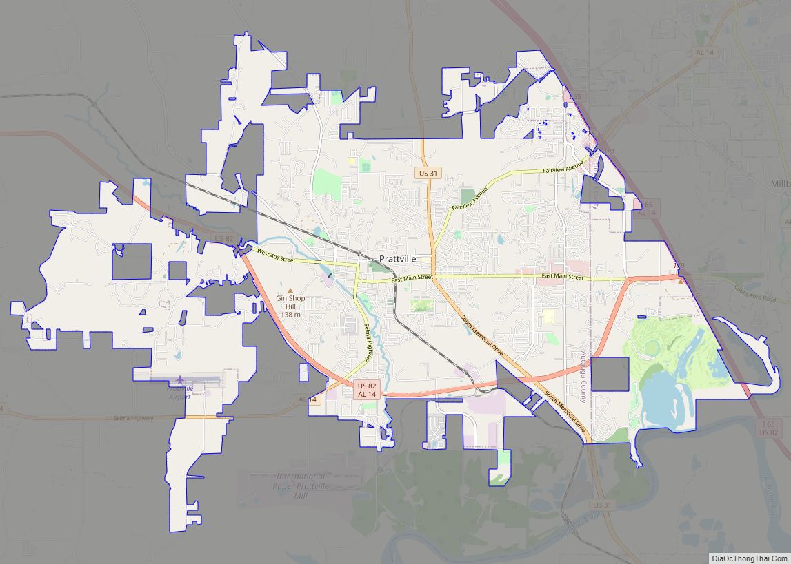
Wetumpka Road Map

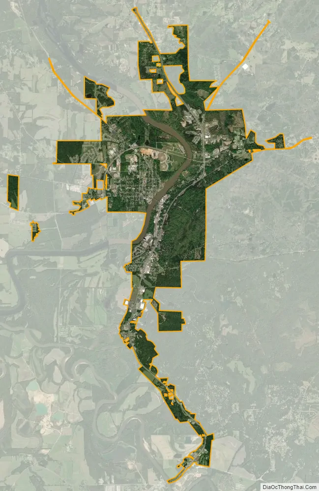
Wetumpka city Satellite Map
Geography
Wetumpka is located southwest of the center of Elmore County at 32°32′27″N 86°12′28″W / 32.54083°N 86.20778°W / 32.54083; -86.20778 (32.540972, −86.207726), and sits on both sides of the Coosa River 5 miles (8 km) northeast of its confluence with the Tallapoosa River, where they merge to become the Alabama River.
The city is situated astride the Fall Line, where the Appalachian foothills give way to the flat Gulf Coastal Plain.
The city is located along many major US and state routes, notably U.S. Route 231, which runs east of downtown, leading north 28 mi (45 km) to Rockford and south 18 mi (29 km) to downtown Montgomery. Alabama State Route 14 runs west to east through the downtown area, leading east 22 mi (35 km) to Tallassee and southwest 17 mi (27 km) to Prattville. Other state highways that run through the city include Alabama State Route 9 and Alabama State Route 170.
Downtown Wetumpka covers two city blocks, and is bordered on the northwest by the Coosa River. The Bibb Graves Bridge crosses the river here, and is the city’s most recognizable landmark. Directly across the bridge are the city’s three antebellum churches, the First Methodist, First Presbyterian, and First Baptist. On January 19, 2019, a tornado destroyed the First Presbyterian church and badly damaged the first Baptist church.
According to the U.S. Census Bureau, the city has a total area of 10.5 square miles (27.2 km), of which 10.1 square miles (26.2 km) is land and 0.39 square miles (1.0 km), or 3.66%, is water.
Climate
The climate in this area is characterized by hot, humid summers and generally mild to cool winters. According to the Köppen Climate Classification system, Wetumpka has a humid subtropical climate, abbreviated “Cfa” on climate maps.
See also
Map of Alabama State and its subdivision:- Autauga
- Baldwin
- Barbour
- Bibb
- Blount
- Bullock
- Butler
- Calhoun
- Chambers
- Cherokee
- Chilton
- Choctaw
- Clarke
- Clay
- Cleburne
- Coffee
- Colbert
- Conecuh
- Coosa
- Covington
- Crenshaw
- Cullman
- Dale
- Dallas
- De Kalb
- Elmore
- Escambia
- Etowah
- Fayette
- Franklin
- Geneva
- Greene
- Hale
- Henry
- Houston
- Jackson
- Jefferson
- Lamar
- Lauderdale
- Lawrence
- Lee
- Limestone
- Lowndes
- Macon
- Madison
- Marengo
- Marion
- Marshall
- Mobile
- Monroe
- Montgomery
- Morgan
- Perry
- Pickens
- Pike
- Randolph
- Russell
- Saint Clair
- Shelby
- Sumter
- Talladega
- Tallapoosa
- Tuscaloosa
- Walker
- Washington
- Wilcox
- Winston
- Alabama
- Alaska
- Arizona
- Arkansas
- California
- Colorado
- Connecticut
- Delaware
- District of Columbia
- Florida
- Georgia
- Hawaii
- Idaho
- Illinois
- Indiana
- Iowa
- Kansas
- Kentucky
- Louisiana
- Maine
- Maryland
- Massachusetts
- Michigan
- Minnesota
- Mississippi
- Missouri
- Montana
- Nebraska
- Nevada
- New Hampshire
- New Jersey
- New Mexico
- New York
- North Carolina
- North Dakota
- Ohio
- Oklahoma
- Oregon
- Pennsylvania
- Rhode Island
- South Carolina
- South Dakota
- Tennessee
- Texas
- Utah
- Vermont
- Virginia
- Washington
- West Virginia
- Wisconsin
- Wyoming