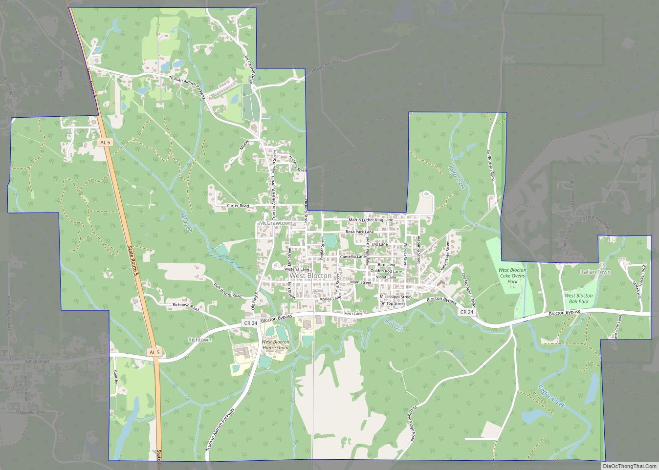
West Blocton is a town in Bibb County, Alabama, United States. At the 2020 census, the population was 1,217. The current mayor is Daniel Sims.
| Name: | West Blocton town |
|---|---|
| LSAD Code: | 43 |
| LSAD Description: | town (suffix) |
| State: | Alabama |
| County: | Bibb County |
| Elevation: | 495 ft (151 m) |
| Total Area: | 4.82 sq mi (12.49 km²) |
| Land Area: | 4.80 sq mi (12.43 km²) |
| Water Area: | 0.02 sq mi (0.06 km²) |
| Total Population: | 1,217 |
| Population Density: | 253.65/sq mi (97.93/km²) |
| ZIP code: | 35184 |
| Area code: | 205, 659 |
| FIPS code: | 0180928 |
| GNISfeature ID: | 0153935 |
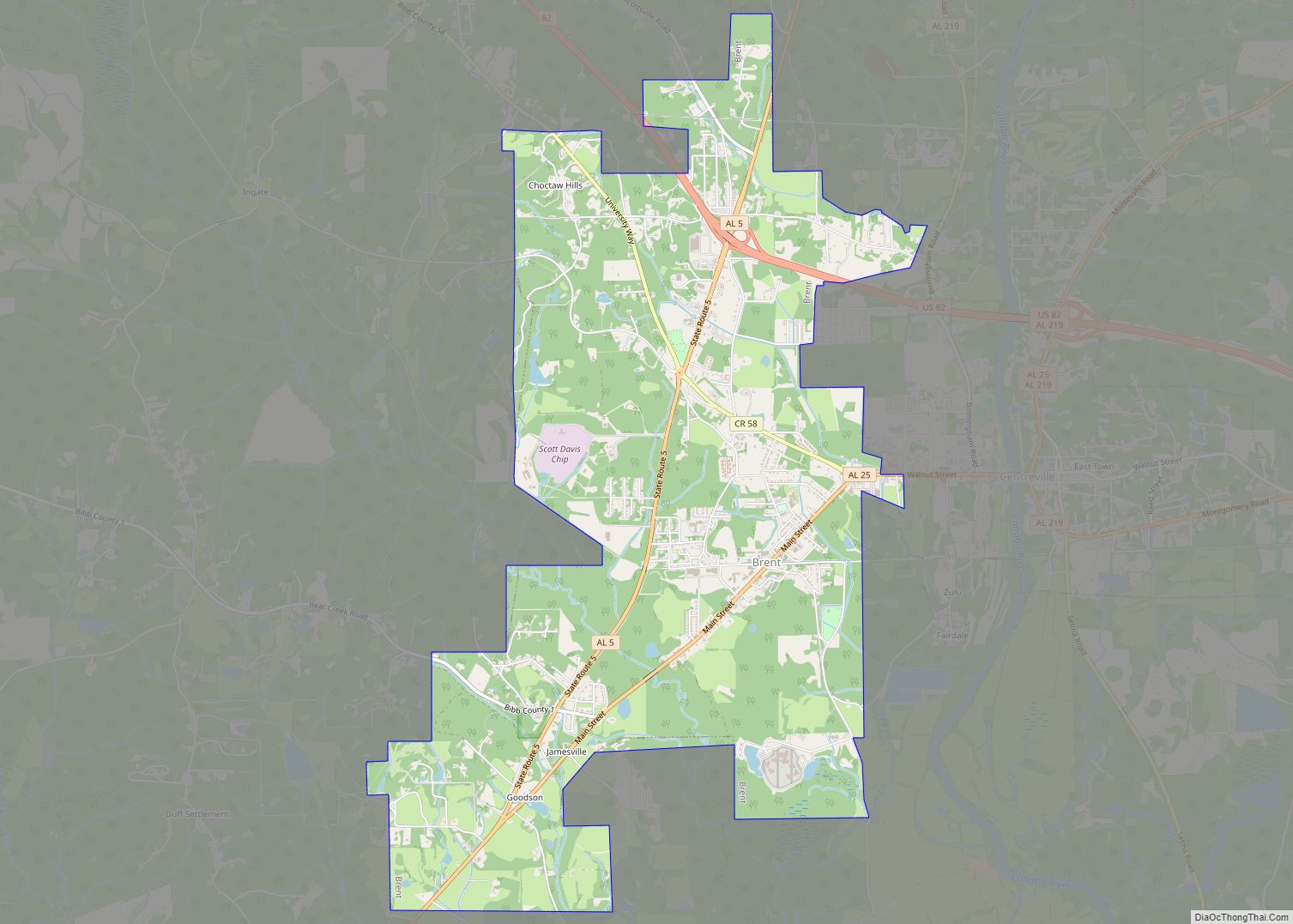
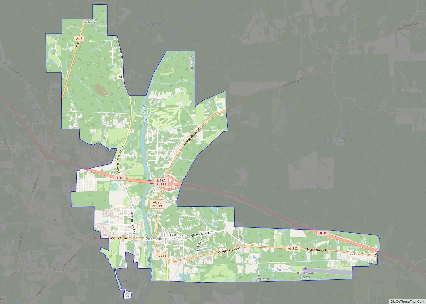
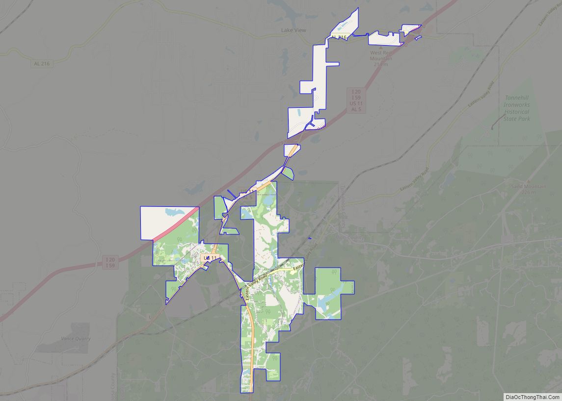
Online Interactive Map
Click on ![]() to view map in "full screen" mode.
to view map in "full screen" mode.
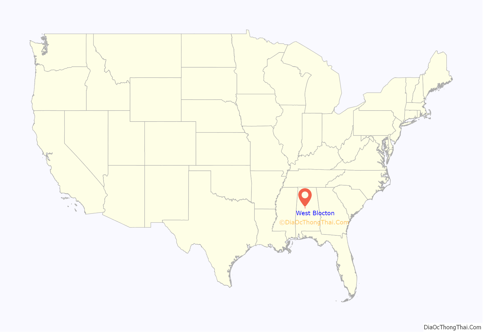
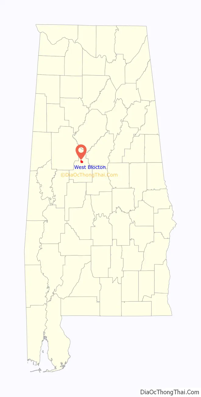
West Blocton location map. Where is West Blocton town?
History
It was built on land once owned by Uriah Smith, near the company town Blocton. Many of its non-native residents were immigrants from various European countries, with Italians being the largest, as they came to do mining in the area. West Blocton has a neighborhood previously named “Dago Hollow” and now called Little Italy.
West Blocton Road Map
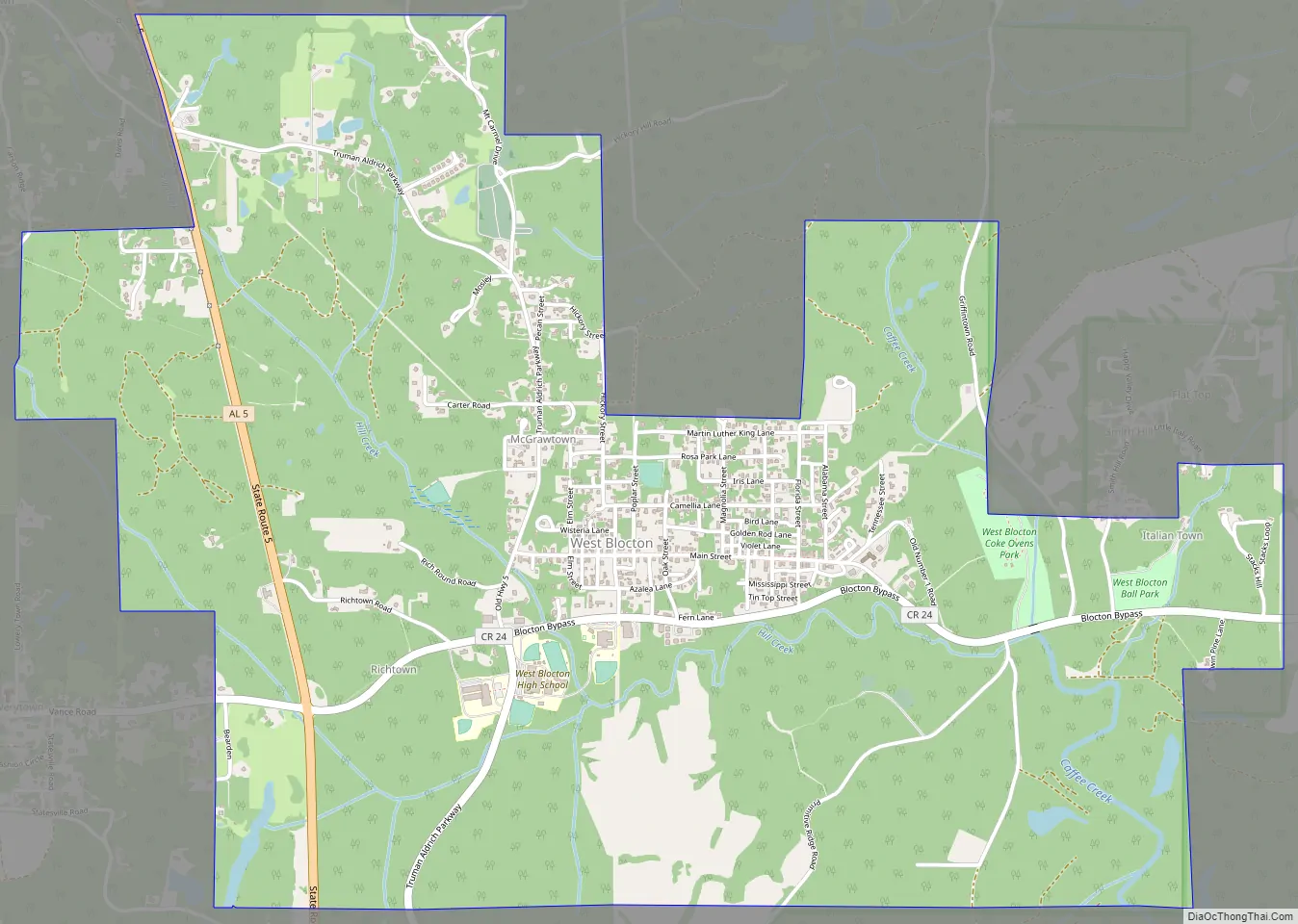
West Blocton city Satellite Map

Geography
West Blocton is located in northern Bibb County at 33°7′7″N 87°7′22″W / 33.11861°N 87.12278°W / 33.11861; -87.12278 (33.118733, -87.122875), at the southern terminus of the Appalachian Mountains.
It is on a midway point between Birmingham and Tuscaloosa.
Alabama State Route 5 passes through the town, west of the town center, leading north 7 miles (11 km) to Woodstock and south 12 miles (19 km) to Brent and Centreville, the county seat.
The community is 7 miles (11 km) south of Interstate 20 and Interstate 59.
According to the U.S. Census Bureau, the town has a total area of 4.6 square miles (11.9 km), of which 4.6 square miles (11.8 km) is land and 0.039 square miles (0.1 km), or 0.52%, is water.
West Blocton Coke Ovens Park blends history with nature, providing a place to relax and learn about the history of the industrial era of Alabama and how the Coke Ovens supplied the steel of the South.
See also
Map of Alabama State and its subdivision:- Autauga
- Baldwin
- Barbour
- Bibb
- Blount
- Bullock
- Butler
- Calhoun
- Chambers
- Cherokee
- Chilton
- Choctaw
- Clarke
- Clay
- Cleburne
- Coffee
- Colbert
- Conecuh
- Coosa
- Covington
- Crenshaw
- Cullman
- Dale
- Dallas
- De Kalb
- Elmore
- Escambia
- Etowah
- Fayette
- Franklin
- Geneva
- Greene
- Hale
- Henry
- Houston
- Jackson
- Jefferson
- Lamar
- Lauderdale
- Lawrence
- Lee
- Limestone
- Lowndes
- Macon
- Madison
- Marengo
- Marion
- Marshall
- Mobile
- Monroe
- Montgomery
- Morgan
- Perry
- Pickens
- Pike
- Randolph
- Russell
- Saint Clair
- Shelby
- Sumter
- Talladega
- Tallapoosa
- Tuscaloosa
- Walker
- Washington
- Wilcox
- Winston
- Alabama
- Alaska
- Arizona
- Arkansas
- California
- Colorado
- Connecticut
- Delaware
- District of Columbia
- Florida
- Georgia
- Hawaii
- Idaho
- Illinois
- Indiana
- Iowa
- Kansas
- Kentucky
- Louisiana
- Maine
- Maryland
- Massachusetts
- Michigan
- Minnesota
- Mississippi
- Missouri
- Montana
- Nebraska
- Nevada
- New Hampshire
- New Jersey
- New Mexico
- New York
- North Carolina
- North Dakota
- Ohio
- Oklahoma
- Oregon
- Pennsylvania
- Rhode Island
- South Carolina
- South Dakota
- Tennessee
- Texas
- Utah
- Vermont
- Virginia
- Washington
- West Virginia
- Wisconsin
- Wyoming